


Instagram posts with photos / videos:
https://www.instagram.com/p/B7UYhWzpJD6/
https://www.instagram.com/p/B7XHUSrpC7s/
https://www.instagram.com/p/B7Z0ip1Jggb/
https://www.instagram.com/p/B7cbZraJkrb/
https://www.instagram.com/p/B7fAZrhp23f/
https://www.instagram.com/p/B7irSRPJy0l/
https://www.instagram.com/p/B7kezn2JfJX/
Day 0, 1/13/20:
After doing a bit of warm up walking from Amicalola falls to the Pinhoti via the Benton Mackaye Trail over the few preceding days, I camped at the Northern Terminus on the night of the 13th. I was really nervous before starting, and I finished listening to Thirst before going to bed that night, which helped a ton; hearing Anish talk so lucidly about her mental struggles associated with her FKT, and her feelings of impostor syndrome served to dramatically reduce my own doubts. I fell asleep around 7 pm and actually slept pretty well until my alarm went off at 6 am to start my attempt, which gave me a good amount of sleep in the bank.
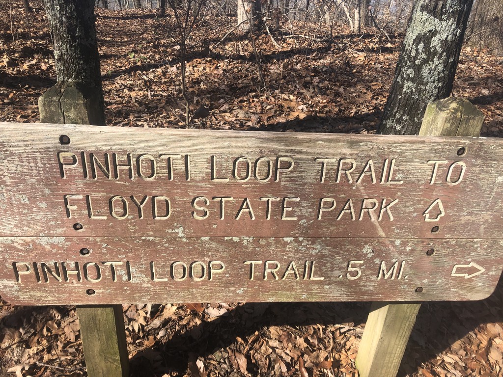
Day 1, 1/14/20, 44.7 Miles:
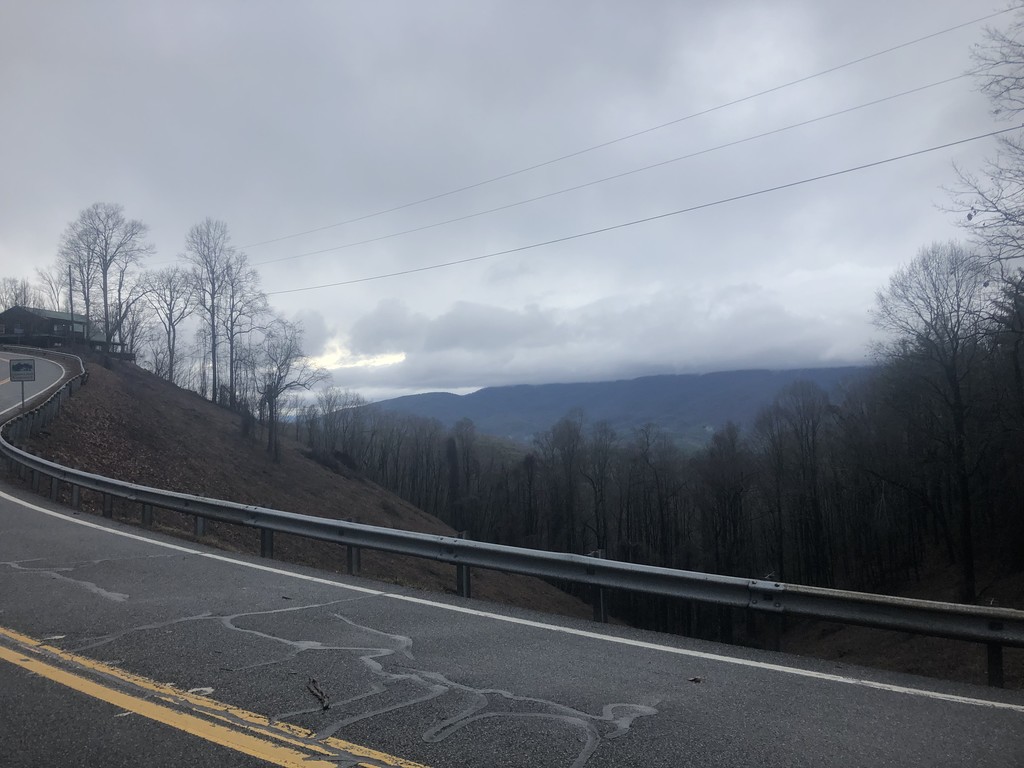
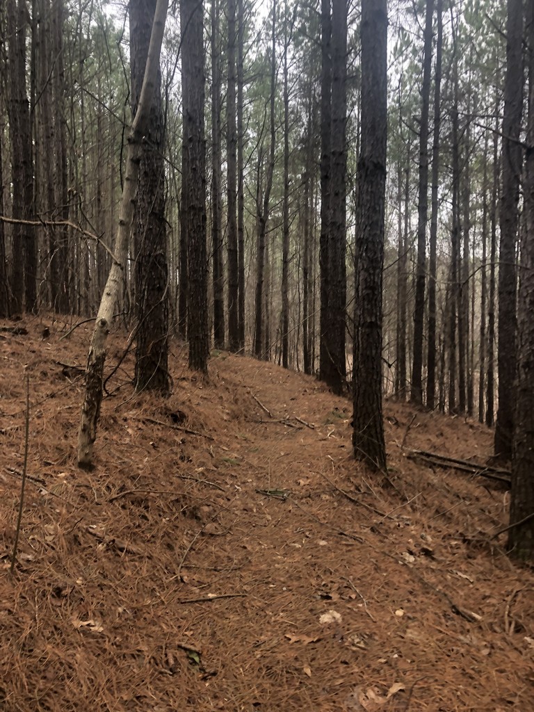
I began the trail at 6:56 am, EST, and quickly encountered a lot of blowdowns, which made sense as there had been a tornado just a few days prior. Despite getting lost once navigating around said blowdowns, I kept a good pace throughout the day. The trail was in great shape, having a nice consistent grade and frequent use of switchbacks, something I did not expect as most of my past hikes on the East coast have been in New England. I ran all of the downs, and chugged along on the ups. It drizzled fairly consistently all day, but the weather was warm (around 60-70) so it didn’t pose any serious issue.
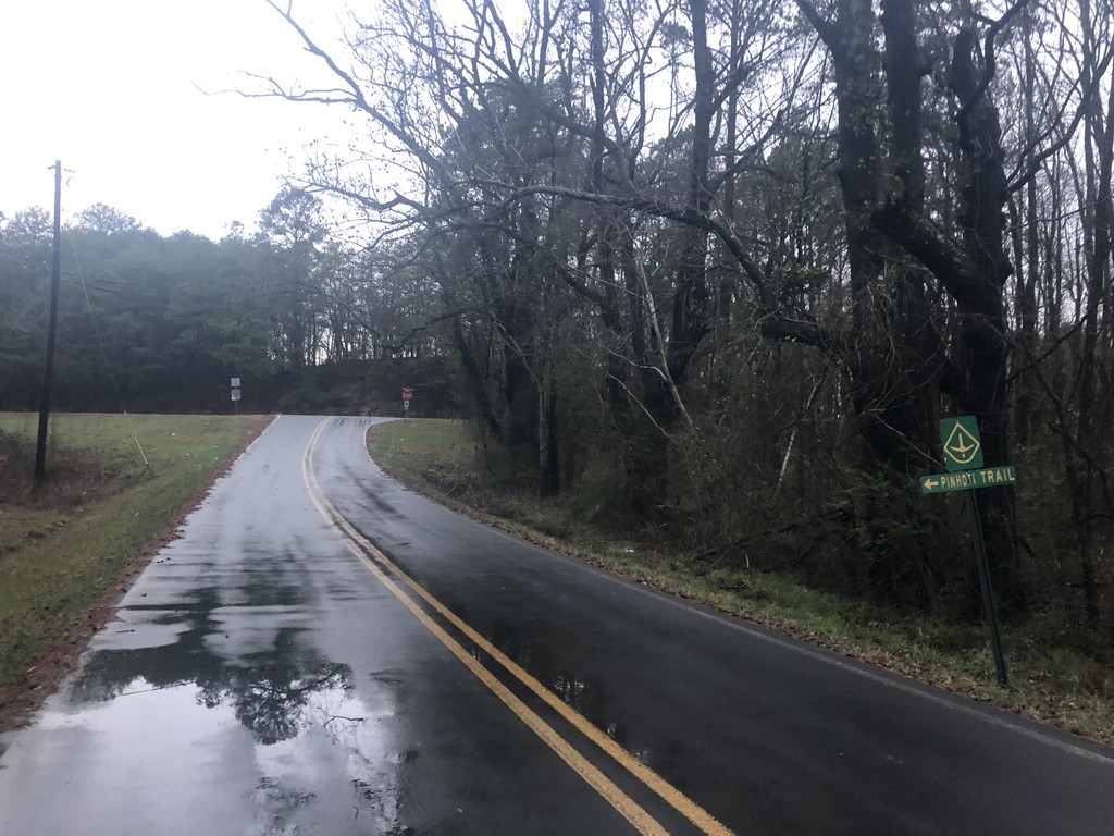
I started the 27 mile road walk through Dalton as the sun started to go down, and stopped for dinner at a Country Corner gas station. I ate ¾ of a pizza and some wings, and also bought some bandaids as I had, rather foolishly, started out this trail without any or tape, as I had not needed them on the CDT as my feet toughened up. That was not the case here, and the constant wet from creek crossings and rain had lead to my right Achilles rubbing a hole in my sock and opening up a little abrasion there which then opened and closed again many times throughout the trip, staining my sock, shoe, and gaiter with blood. The final 2.5 miles to Chicken Creek that day were the first time I put in headphones. I was super happy with my ability to stay present on this hike, and that largely continued to be true throughout. Compared to other thru hikes I have done, I found that I was a lot more clicked in and focused on this hike, in large part due to the fact that it was such a larger effort. I did not find the supposed campsite at Chicken Creek (it was also quite dark), so I just scrambled up the embankment on the side of the road, found a decent flat spot in the woods and set up my poncho tarp at around 8 pm. I had some issues falling asleep because my legs kept cramping and spasming, but once they relaxed I probably got around 8 hours of sleep, waking up at 5 am.
Day 2, 1/15/20, 50.1 Miles:
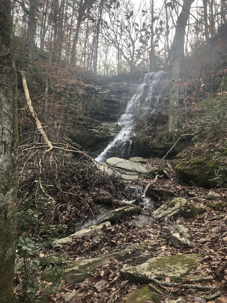
The nice thing about road walking is your pace really isn’t affected all too greatly by hiking in the dark. I think that’s a big part of why I was able to do big miles despite the lack of daylight in the winter, as I often ended up starting/ending days on pavement, and managed to keep a pace of 3.5+ mph during those times, something that would require a lot more effort on a dark trail. The day started with a 21.6 mile road walk, which I finished by 11:29 am. I also resupplied quickly at the Creekside Deli around 9 am, ate some biscuits and gravy and packed out some chicken tenders for dinner. It was great to be back on trail through the afternoon, and the tread was pretty good and very runnable.
Keown Falls was really beautiful in the late afternoon and I reached St. John’s Overlook at 6 pm. Unfortunately, the view was clouded, so I didn’t really take much time to take it in. I contoured around the ridge until I reached a fairly wide trail, fairly level trail. I checked my phone, and had gone just under 50 miles so I pushed on until I had, eschewing a few ok campsites for a rather arbitrary number, as it would end up being my first 50 mile day. That wound up biting me in the butt, as I camped basically on the trail at around 8 pm (though it was wide, it was cut pretty aggressively into the mountain so it was too steep on either side to pitch my tarp), and when the rain picked up at around 1:30 am, a little stream formed under my sleeping pad, waking me. I stuffed a bunch of leaves under it to raise it above the flow, which actually worked surprisingly well, and I managed to fall asleep again until my 5 am alarm.
Day 3, 1/16/20, 48.8 Miles:
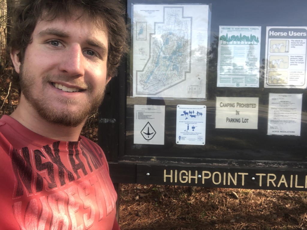
It didn’t rain this day! I got lost a few times in the dark in the morning, which got to me a bit mentally as I felt sluggish, but I started to pick up the pace as the light came in. The trail was pretty good through there, and the only issue I had was I paid pretty much zero attention to water throughout this trail (as it had been raining), and I was running a bit low coming down towards High Point trailhead. Luckily, there was a small stream about a mile before one was shown on my map, and I got to drink my fill. Once I reached the trailhead, I decided to take a little break, something I am normally extremely averse to doing, to do an Andrew Skurka style reset dry in the afternoon sun while also getting to use the conveniently located privy and trashcans there.
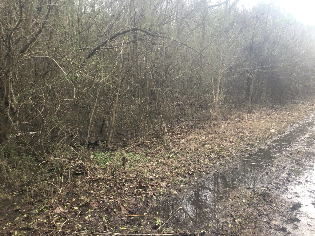
The rest of the day consisted mostly of paved or dirt road walking. Often, the trail took a dirt road right next to the highway, which would have been a lot more pleasant generally, but those dirt roads were often flooded and swampy after all the recent rain, which slowed me down a bit. The clouds were pretty neat on the walk into town, which was fortunate, cause everything else was kind of uninspiring. All the pavement really wore the bottoms of my feet out, and brought on shin splints. The sun set as I walked in, but again, due to the fact that I was on a road, my pace was not very affected. I ate three gas station hot dogs for dinner and resupplied in a Dollar General across the street before pushing on to finding a stealth spot on the edge of a wooded area. The resupply/dinner took a bit longer than I was hoping for, and I stiffened up as it went on, so I did not end up getting to sleep until around 10, and probably slept around 7 hours, with my alarm going off at 5:30. I didn’t bother pitching my tarp.
Day 4, 1/17/20, 46.7 Miles:
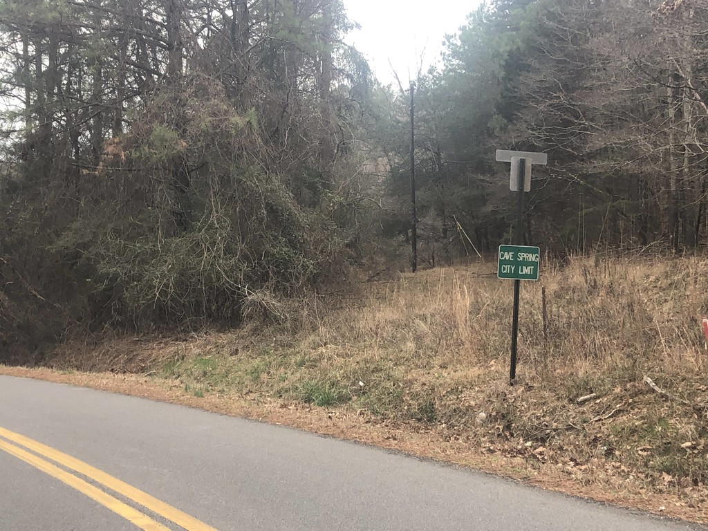
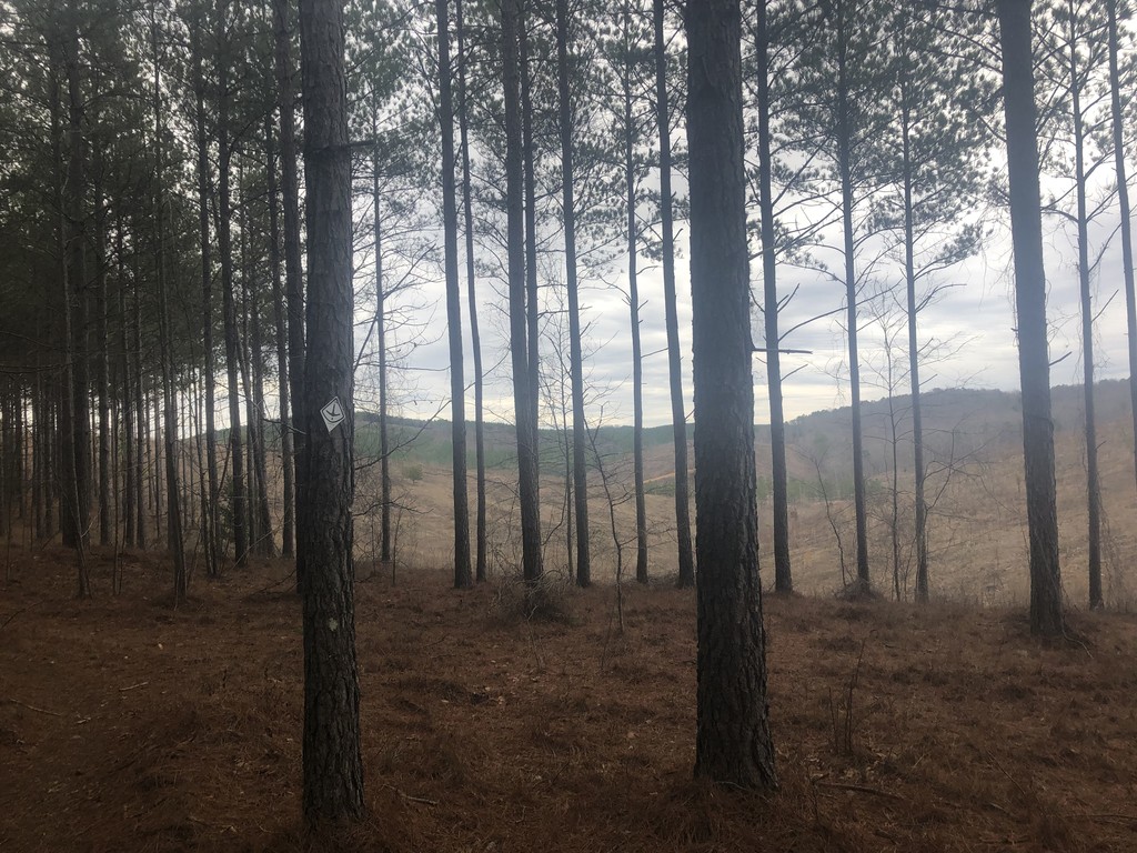
I think the only thing that really salvaged my feet and shins every night was having compression sleep socks. This was my first trail using them, and they made a HUGE difference. Every morning on this hike, I was always amazed to see how much better I felt then I expected to. That’s not to say that the last few miles didn’t have their aches, of course, but the amount of sleep I managed to rack up throughout the start of the trip coupled with those socks mattered a ton. That being said, I think this was the day where I started to notice a steady decline in my general wellbeing. The miles got harder, everything hurt more, and I was just a little off. I started off with a roadwalk down to Cave Springs, where I bought some candy and used the bathroom, and then continued on the road. The Guthook track was off here, leaving Old Cedartown Rd. to the West shortly before Guthook would have taken you onto I believe logging roads (I am not entirely sure, as I did not hike that stretch). I followed the blazes through the woods which added some unknown amount of mileage I’m pretty sure, but also provided a nice relief to my feet, as the tread through the woods was gentle and on soft pine needles. I reconnected with Guthook by at least Hematite Lake, though it could have been earlier (the new trail was quite well marked, and I didn’t really check my phone that much until then).
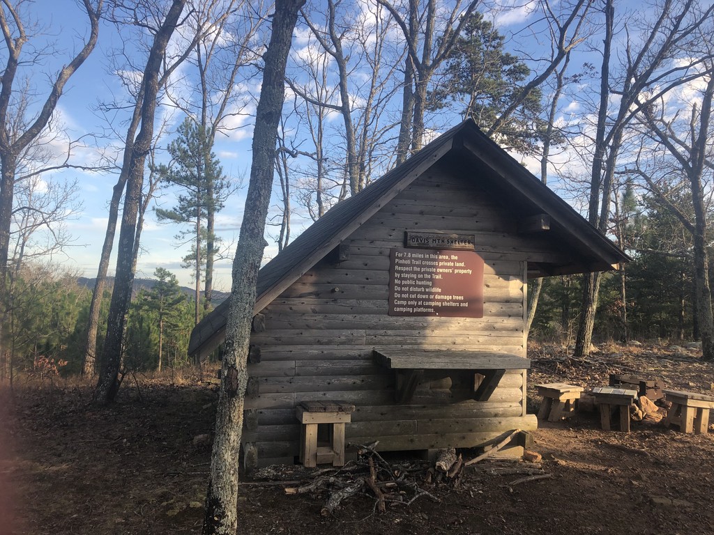
I kept plugging along and reached the Alabama state line by 2:15 pm, and the hence the halfway point a couple miles thereafter. The ground was really rocky and I struggled to make quick progress through the middle of the day. What did help though, at least mentally, was the time change. I did know there was one, or plan for it, so when I noticed my phone and my watch disagreeing, I assumed my phone broke or something. Upon realizing what happened, I realized that I had basically gotten an extra hour, in a sense. Though it obviously doesn’t affect the total time of the FKT, as I adjusted for it later, it made me feel better about basically sleeping an extra hour that night. Of course, I could have gotten the same effect had there been no time change by just setting my alarm for 6 am instead of 5 am, but for whatever mental quirk of mine, I could not have really brought myself to do that even though it definitely was for the best. After a somewhat taxing night hike to Oakley Mountain shelter, where I kept repeating mantras to myself to stay focused, I reached the shelter around 8 pm CST, which provided a nice block from the wind. I slept until 5 am, for around 8 hours of sleep.
Day 5, 1/18/20, 46.1 Miles:
After a cold, windy morning, it started to rain as noon drew closer. Thankfully, the rain brought with it increasing temps, so on the whole the weather continued to be manageable. After an early climb up Dugger Mountain, the terrain was fairly level throughout the day. Despite that, I never really got moving that fast, I think in large part due to the compounding stresses on my body, feet, and mind. At this point, I was well ahead of Legend’s pace, but also probably out of catching Youngren’s supported time without a lot more sleep deprivation, and the associated risk of injury, than I was really willing to stomach. Mentally, then, it was hard to keep pushing. I had decided the day before, however, that I was going to finish by midnight on the 20th, and I really wanted to keep my goal, and not dog the ending.
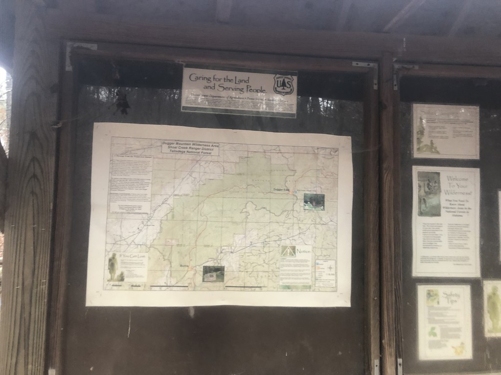
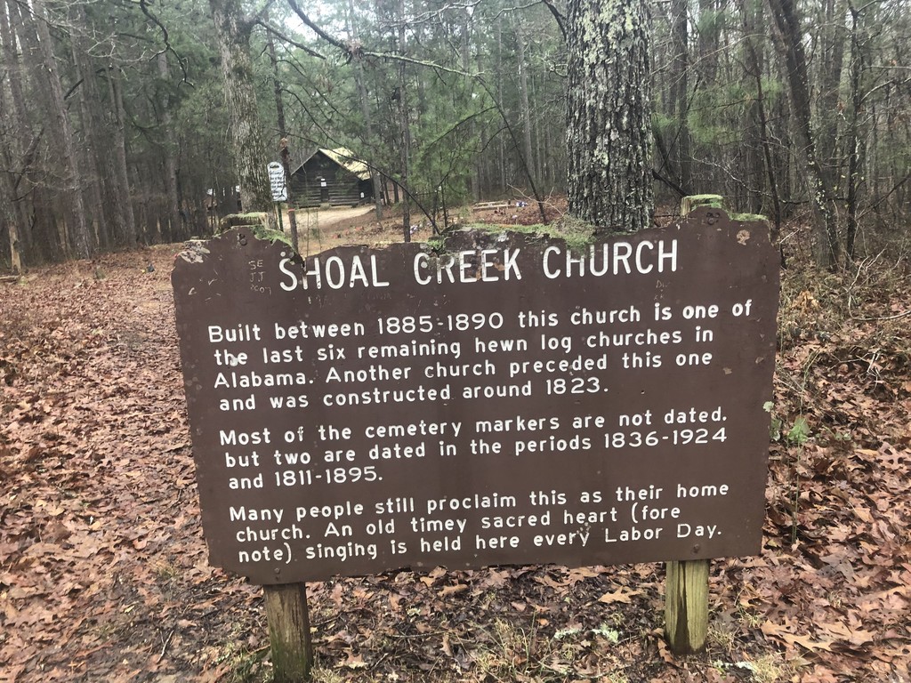
The rain kept up most of the day, with a brief respite as I was passing by the very neat Shoal Creek Church in the afternoon. I was aiming to push further at the end of the day then I ended up doing, but the rain wore me down. Making it just over US 78, I piled up some pine needles, pitched my tarp, and slept from around 9 pm to 5 am once again. With all of the cloud cover from the rain, the night was super warm.
Day 6, 1/19/20, 47.5 Miles:
I was really aiming for a higher mileage here, as this was the start of where I was going to go into a sleep deprived, push till the end sort of mode, but several things stopped that from happening. For starters, it was cold. The rain cleared up overnight, and with the open skies, temperatures dropped. It would stay cold, around 40 during the day and 20 at night, for the rest of my trip (on the plus side, it didn’t rain anymore). Additionally, I spent a little longer than I was planning on at my resupply in Cheaha State Park. I only spent around 45 minutes there, getting my box, while eating ice cream and microwaved burritos (I chose not to go to the restaurant so I didn’t get sucked into a town vortex), but I had originally been hoping to keep it to 30 minutes. My inReach also started acting up around here, and had not pinged for awhile. I manually reset and hoped that would be the end of it.
I had walked for about half a mile back down the trail when I realize I had forgotten my headlamp at the store there. It was in an outside pouch on my bag, and had fallen out. I dropped my pack, and ran back to the store to retrieve it, and then headed back down trail to pick up where I left off. Not only did this set me back around 20 minutes timewise, which is really not a huge deal in the grand scheme of things, backtracking is really demoralizing. It was only a matter of minutes after I realized my mistake that I was berating myself constantly, and thinking about the opportunity cost of heading back; not only did I miss those miles, but if I was going to have taken 20 minutes off to make zero forward progress, then I should have taken a shower or had real meal or something at the State Park. While that self talk is not at all productive, it still took awhile for me to refocus.
The trail after that was also pretty rocky and rooty, inhibiting me from running very effectively. On the plus side, that ridge coming over Hernandez Peak and off of the State Park was probably my favorite part of the trail scenery wise. In the winter, with the lessened foliage, the sweeping views were pretty much constant. I started to descend off the ridge just as the sun was going down. “What great timing!”, I thought, as this would allow me to make the mildly technical descent with the benefit of daylight still on my side, albeit barely. Alas, it was not meant to be. I got turned around at a campsite so much that I ended up just straight up going directly backwards on trail for half a mile. At a certain point, I thought that things were looking familiar. Turns out I was right. After checking my phone, and promptly turning around, I really started fuming at myself inside my head. I hustled on, only to realize a couple hours later that my inReach still wasn’t pinging properly, potentially as a function of charge, so I reset in again. I kept walking until around 10:00 pm, where I threw down my bivvy and slept rather poorly for around four hours, until 2 am.
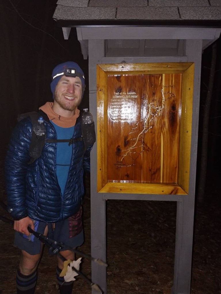
Day 7, 1/20/19, 63.5 Miles:
I woke up to the cold, and started moving quickly to get the blood moving. I crossed two fairly deep creeks early on in the day, and I was a little worried about my feet freezing, but luckily that didn’t happen. By the time the sun came up, I felt surprisingly good, and ready to go hard until I finished. When I passed through Bull’s Gap, my shoes had mostly dried out and hopefully alleviate some of the pain in my shins and feet, I switched out to my compression socks and also took some Ibuprofen. I had been avoiding Ibuprofen for most of the trip because I didn’t really want to mask an overuse injury early on, but at this point I figured I should just do whatever I could to finish.
By the time I started the road walk into Stewartville, I was feeling pretty strong, and what helped even more was when I found out that the extraordinarily kind owner of Pinhoti Outdoor Center, Kimm Wright, was willing to pick me up from the terminus at night, and drive me to their hostel where I could shower and sleep in a bed. With those thoughts in mind, I powered down the road without stopping. I had heard from others that the Terrapin hills section was tricky, and I think it probably is harder for Nobos then Sobos, as it had more descent then ascent for me, and I got to reverse the direction of the big climb. After wrapping up that stretch of trail, I continued to road walk towards Weogufka. I stopped briefly to refill water, and then started the final push towards Flagg. I ran a lot of it, but my legs started to give out a big from all of the effort I had already done. I was a little overzealous on some of the ups, and tripped on a root, banging my knee. It wasn’t too serious, and I continued moving again shortly thereafter. As I crested Flagg at an aggressive gait, pounding my trekking poles relentlessly, I passed by some confused looking firefighters at a bonfire at around 9:50. I continued on to the terminus where Kimm was waiting for me and finished my hike at 10:03 CST, for a total time of 6 days, 16 hours, and 7 minutes.