As planned over months of COVID-19 restrictions and established by Ben Berriman and Rob Phillpott June 2020.
The Blue Mountains are often thought of for the undoubtedly spectacular views found in upper Blue Mountains towns of Katoomba and Blackheath. The lower mountains, however, are equally gifted in the show nature puts on for those willing to venture into our natural environment and spend their days wandering through nature's goodness.
To supplement this, it has been clearly established over repeated runnings of the Blue Mountains Marathon Clinic's: December Demographically Divisive Double that the lower blueys center of excellence is clearly the home for the Blue Mountains finest runners. In this annual showing of talent, where runners proudly display their geographic loyalties (as based on the academically sound and peer-reviewed boundaries found in handyman ads from the local newspapers - The Blue Mountains Gazette - classifieds section), the lower mountains center of excellence has asserted their dominance on repeated occasions.
This has led to numerous party raids from the jealous collectives found in; the low lands, mid mountains market stallholders, upper mountains goat herders, and the banjo strumming cousins of the distant northern ridges.
This loop showcases the spectacular grounds in which the lower mountains center of excellence team play each day. Whilst also establishing a clear border patrol route to protect our territories who would love to learn our secrets.
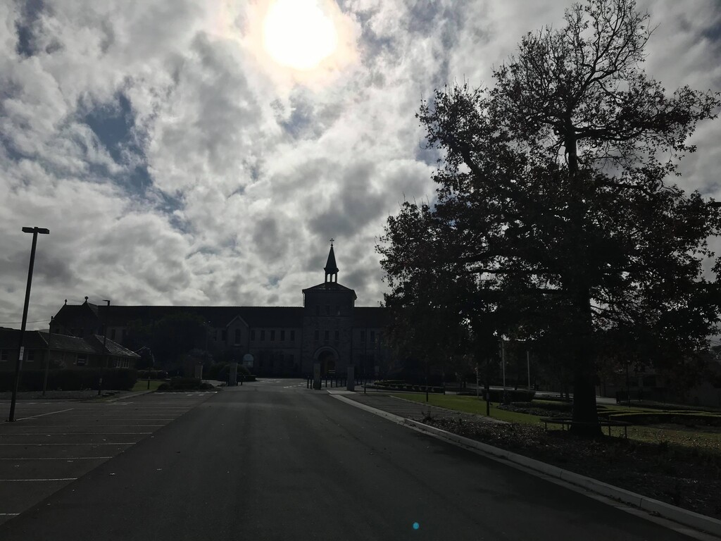
Starting from The Blue Mountains Running Co's doorstep in Ross Street Glenbrook the loop soon catches glimpses of the low lands from the Bluff lookout, Marge's lookout and Elizabeth lookout. Using the tracks of Darks Common and Knapsack reserve to move you around. From here you cut across Mt Sion and into East Blaxland East with a brief opportunity for caffeinated joy at Euphoric coffee shop before quickly descending back into the trails of Cripple Creek Reserve.
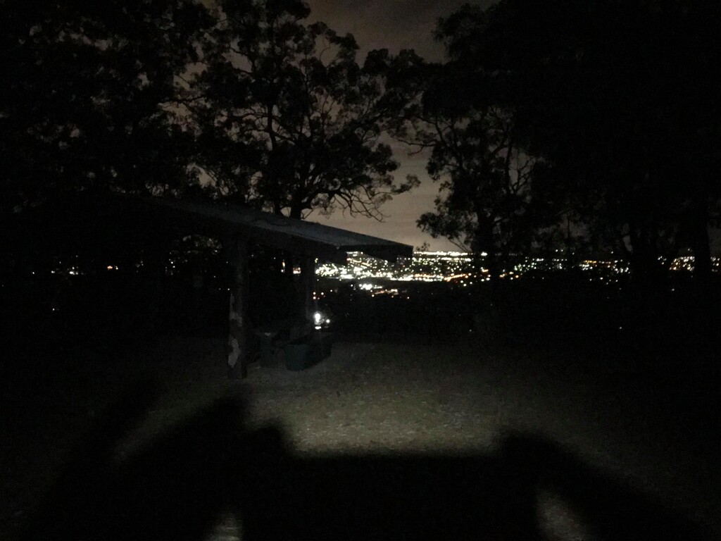
Cripple Creek fire trail is the first of the day's many valley floor experiences where you are surrounded by grey gums reaching high above you. On the ascent of the shit hill (aka the concrete killer) a short trip out to Cripple Creek lookout provides another glimpse of the low lands. With clear views of the gradually filling Penrith Lakes from over Fitzgerald Creek and between the gully opening that splits Mt Riverview and Yellow Rock.
Back to five ways, down into long angle fire trail and it's more gum goodness until the climb to Singles Ridge Rd, Winmalee. A skip across the road and pick up the next valley of gums goodness as you cut through to Tall Timbers Rd and take one of the few short road sections up the Hawkesbury Rd servo.
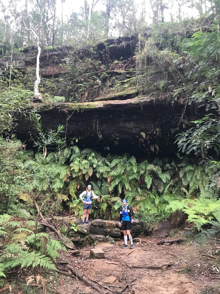
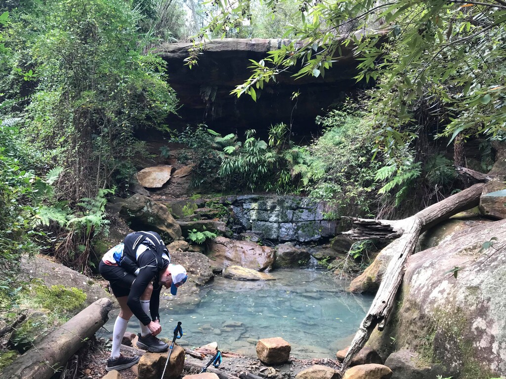
Quickly departing the tarmac behind the Garden Center, locally established single tracks will bring you across to The Coliseum. Home of St Columbas rugby and one-time social grounds of young priests in training. The short fire trail climb to the back of St Columbas continues along the ridgeline before dropping you quickly down to the first of two Grottos for the day. A stunning setting that was once housed catholic memorabilia on the stone wall behind the normally dry waterfall.
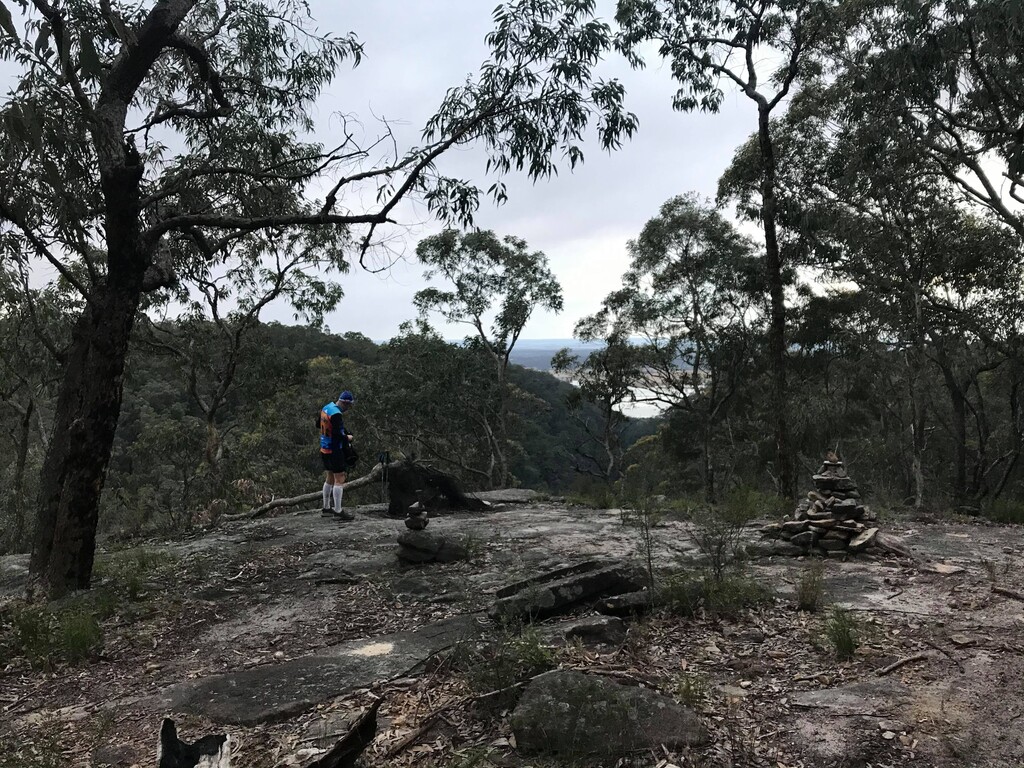
A loop of the little traveled Shaws Swamp, brings you around onto Shaws Ridge for a short time, before taking the short cut track down into Blue Gum Swamp and another valley of thick ferms stood over by the massive gums our day is coming to be defined by. From Blue Gum Swamp fire trail you take in the LL2's 6ft preparation climb that is Bees Nest hill and pop out to one of the most spectacular views you will find anywhere in the Blue Mountains, Grose Head South Lookout. The Grose is often witnessed from its upper reaches, however, to stand at the lower extremes of this geographically defining waterway and look back up toward Devils Wilderness is a view worth your time and effort to get there. Also enabling a quick glance in the direction of our northern cousins to make sure their possum jerky and moonshine is firmly entrenched in their home territories.
A 6km stretch of fire trail along Springwood Ridge brings you back to St Columbas for your first views of the Hogwarts styled sandstone school buildings that were originally built as a seminary.
Dropping off the large grass clearing you soon find yourself gazing at the glowing blue waters of the southern grotto. Before picking up around 6 km of sensational single track in and out of rarely traveled gully floors. Eventually landing yourself in Birdwood Gully and climbing out into the busyness of Macquarie Street Springwood and another opportunity to inhale a shot of caffeine from one of many such suppliers.
Through the town square, you enter Fairy Dell (one time home of the infamous 2nd Springwood Scouts) and settle in for 3 to 4 km of the continual downhill single track that is the Magdala Track. Past Martin Falls and Magdala Falls to Perch Ponds campground and Glenbrook Creek. Winding along Glenbrook Creek enjoy the valley floor while you have it because it's soon time for the climb up to Martins lookout. A short but brutal climb that marks the beginning of your final quarter of the day, but just the beginning of what becomes a sequence of up a climb, then back down into the next valley.
Stop by Martins lookout for a moment to gaze into the Blue Labyrinth and across to the white cross of Lost World lookout. A place you will find yourself in a few hours' time. Then its off down the fire trail, past Batman Park and right down the powerline track into Valley Heights fire trail. Another underutilized fire trail that sweeps around the valley floor in its rainforest-like setting. Another climb out up to the end of Greens Rd Warrimoo and then off the end of Greens Rd fire trail into Florabella Pass.
Florabella Pass winds it's way below the streets of Warromoo towards Blaxland. Shifting in elevation as Glenbrook Creek appears to yoyo up and down below you. At the Ross Cresent exit take the less obvious track down through steps cut into the sandstone and pick up Tony's Magical Mystery Hat track for your last significant climb of the day onto the Bullant Track.
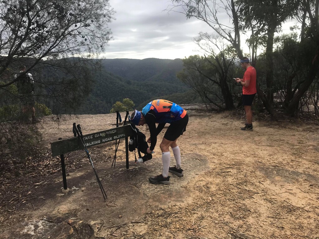
The Bullant Track will wind you across the top of the ridgeline, with land falling away just out of your periphery on either side until you intersect with the Kings Link track. Temporarily take yourself right and head out to the white cross of Lost World lookout to glance back at Martins lookout and off to the lowlands in the distance. The last lookout for the loop and one well worth savoring for a few minutes.
With about 8 to 9 km to get home now, it is the final push up past St Helenas crater and onto St Helena's fire trail for the downhill run to the Duck Hole. A waterhole of popularity amongst the teenage population in Glenbrook and surrounding suburbs. One last uppish bit, into the back of Glenbrook, across the rail bridge and a short stretch of less than 1km back to where your day began at everyone's favorite running shop -The Blue Mountains Running Co.
Enjoy