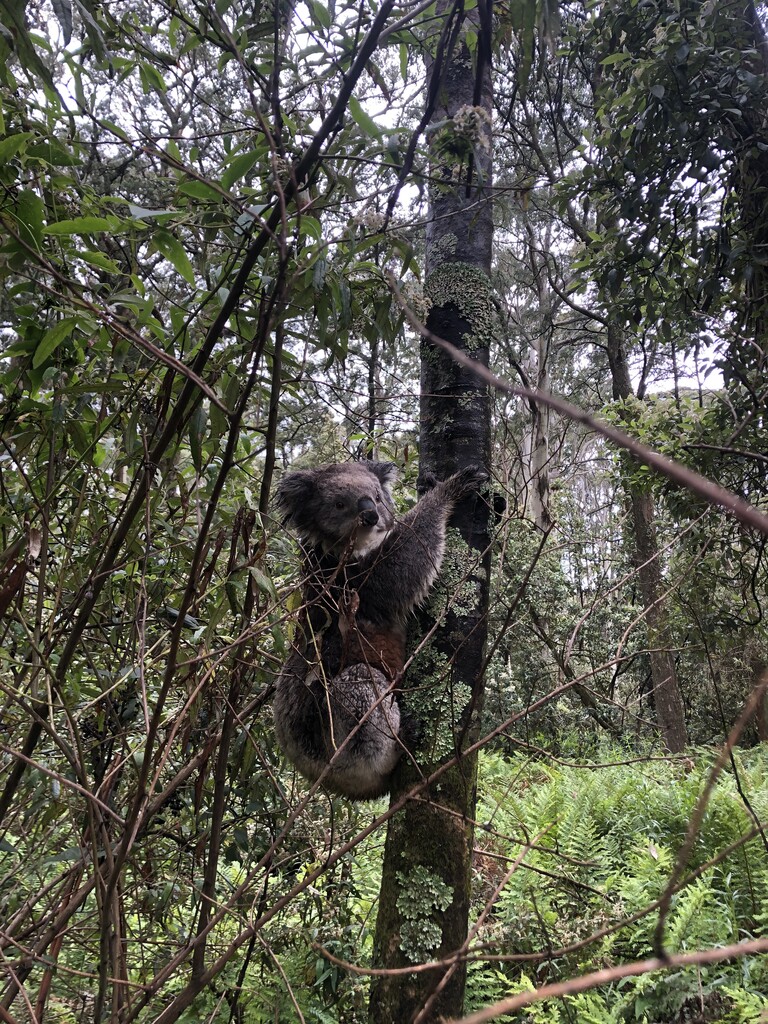
The Macedon Ranges Walking Track is a 18km loop that compiles a series of shorter walks in the area* to make a cohesive loop through the range. It starts in the town of Mt Macedon, and takes in the surrounding high points including the Mt Macedon peak, Camels Hump, and Mt Towrong.
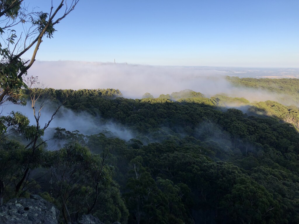
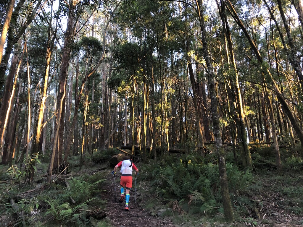
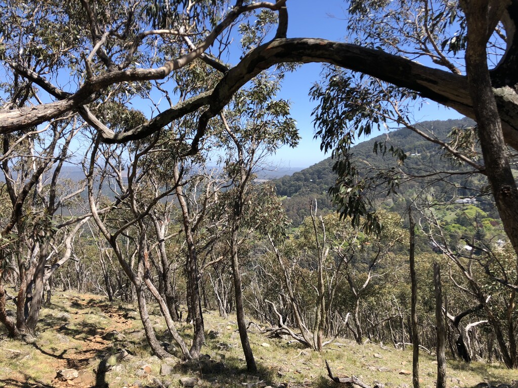
Starting and finishing outside the Mount Macedon Hotel, the route briefly heads north before turning left down Douglas Rd. After about 1.5km, a small set of stairs on the left leads to the 'Goat Track' that winds its way up to the summit of Mt Macedon. It is quite a steep climb, ascending around 350m in less than 2km. Once up top, a left turn takes you along the MWRT behind the cafe, with extensive views off to the west. Beautiful single track undulates its way through the tall forest, popping out momentarily at Cameron's Picnic Ground, before continuing on to Camels Hump. Turn right at this fire road for the out and back to the top of Camels Hump, The highest point in the area. A metal staircase takes you to the observation deck where the view north looks out towards Hanging Rock.
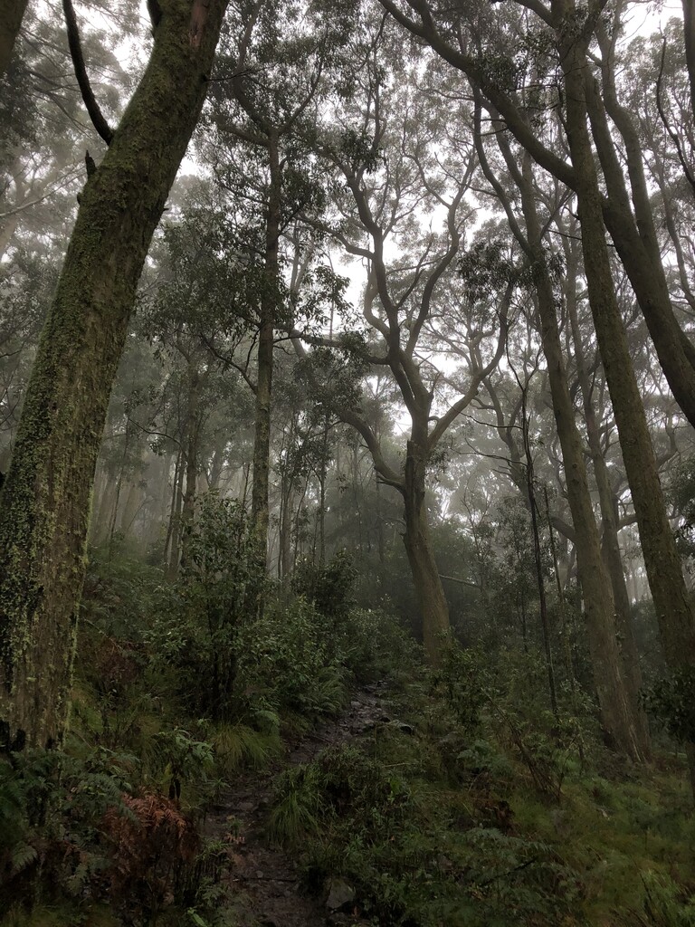
Descending back the way you came and past the single track turn off, you cross over Mt Macedon Rd to make your way over to Sanatorium Lake. Cutting across Days Picnic Ground, you will find the start of the 'Eco Trail' which is a lovely section of single track that winds through the ferns. At the lake, take a right and follow the trail until it crosses over Barringo Rd and becomes Zig Zag Track. This is a nice runnable fire road that drops about 100m in a K and a half. After a few switchbacks, continue straight onto Hemphills Track, another fire road that leads over to Mt Towrong. There is a signed exit for the Mt Towrong Walking Track, which traverses over the peak and then down the exposed western face of Mt Towrong. The track is quite technical in parts so be careful of your footing. This track eventually pops out on to Anzac Rd, where a left turn will take you back toward Mt Macedon Rd. Once you hit this, turn left and there is just half a kilometre back down to the Mount Macedon Hotel to complete the loop.
*This Parks Victoria site has links to walks in the area, including the MRWT:
https://www.parks.vic.gov.au/places-to-see/parks/macedon-regional-park
This All Trails site also provides info on the walk, although skipping the out and back up to Camels Hump.
https://www.alltrails.com/trail/australia/victoria/macedon-ranges-walking-trail