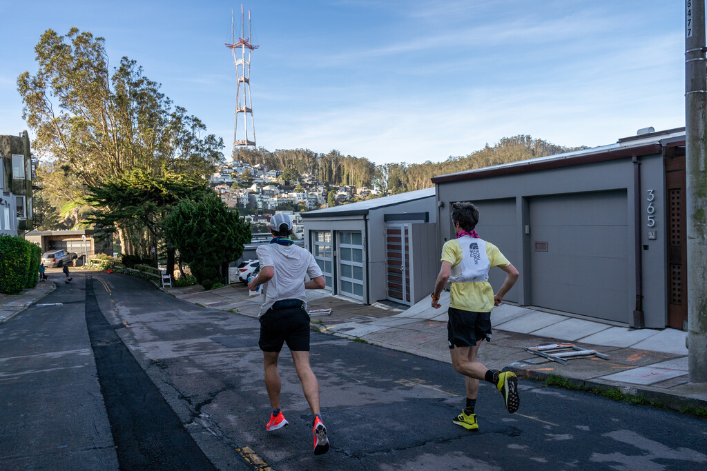
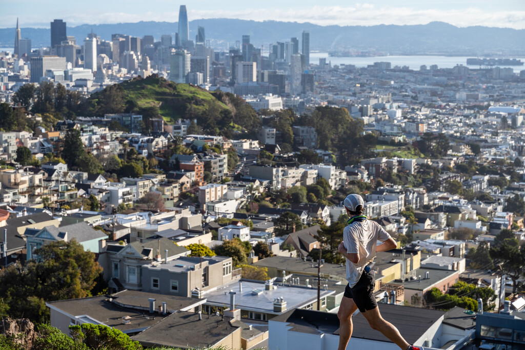
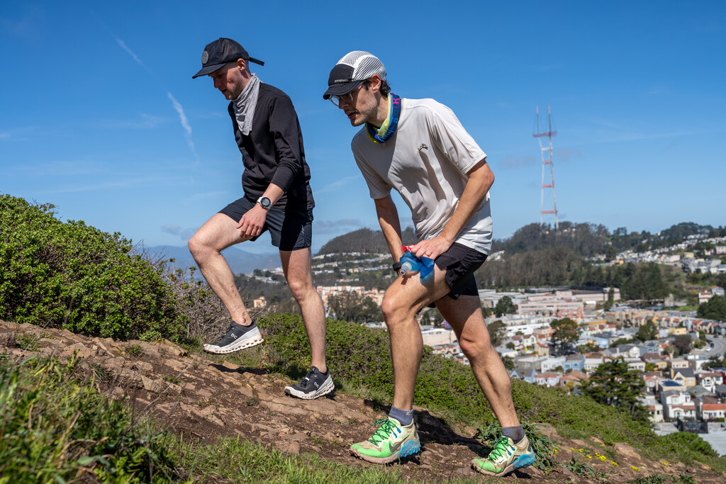
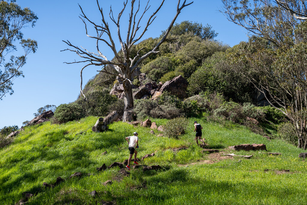
The San Francisco Round lets adventurers summit each of the 76 accessible peaks within the city limits of the San Francisco mainland, and most importantly, get to enjoy the beauty and diversity of the city from as many perspectives as possible within the course of a day. Runners must tag each of the peaks in the order listed but the route between each peak is up to them. The first San Francisco Round was completed on March 6, 2021, covering 65 miles with 10,200+ feet of elevation gain. You can read about the San Francisco Round in more detail and explore a map with all the peaks and their coordinates at this doc. You'll also find more beta provided on the route. Below is a list of the peaks in the order required.
The SF Round is mostly on roads but includes nearly all of the best trails in the city, often taking routes between the peaks that offer up the best views or provide experiences of areas that you might not otherwise have. As the order of the peaks was created to include some iconic trails, climbs, roads and sights, it will sometimes be clear that it’s not the most direct route. However, it’s never about that. It’s about creating memories during a day spent on foot, from sunrise to sunset, and a greater appreciation and understanding of what makes San Francisco one of the best running cities in the world and a special city to spend time in.
Runners and walkers can complete the challenge and aim for the Fastest Known Time (FKT), or simply attempt it as a multi-day if you’d rather take your time and enjoy the sights. This was dreamt up as a celebration and parting gift to the running community of SF, so it’s hoped that runners will share notes and discuss their favourite sections. Please share stories using the #SanFranciscoRound hashtag and add a comment on the Fastest Known Site ahead of your attempt (and then add your time after your run, no matter if you happen to beat the time or not).
Here is a curated map with all 76 of the peaks plotted on it, and in the order you should follow. If you tap on the name/icon, you’ll find coordinates for each peak and more details for some of the peaks too. This may help if you want to plot an altered version or more direct version of the route. Peaks in red are to be ignored. Tag all 76 peaks in the following order and finish back at the start:
Sutro Heights Park parapet
Washington Heights
Bunker Hill
Prayerbook Cross Hill
Strawberry Hill
Whiskey Hill
Hippie Hill
Azalea Hill
Chicken Point
Casino Hill
Mt. Lick
Ignatian Heights
Lone Mountain
Laurel Hill
Anza Hill
Alamo Heights
Mint Hill
Buena Vista Heights
Corona Heights
Mt. Olympus
Tank Hill
Kite Hill
Castro Hill
Dolores Heights A.k.a. Noe or Sanchez Hill
Chutchui Hill (Dolores Street)
Precita Heights
Bernal Heights
Holly Hill
College Hill
Martha Hill
Gold Mine Hill
Fairmount Heights
Duncan Hill
Red Rock Hill
Twin Peaks (South Peak)
Twin Peaks (North Peak)
Clarendon Heights A.k.a. Sutro Crest
Mt. Sutro
Grand View Hill
Golden Gate Heights' unnamed peak
Larsen Peak
Forest Hill
Edgehill Heights
Mt Davidson
Sherwood Forest
Monterey Heights
Brooks Park
Shields/Orizaba Rocky Outcrop
Thrift St & Summit St Peak
City College Hill
Excelsior Heights
Crocker-Amazon Hill
Pasadena Street Hill
Little Hollywood Park Hill
Bayshore Heights
Bay View Hill
McLaren Ridge 1
McLaren Ridge 2
McLaren Ridge 3
Visitacion Knob
McLaren Ridge 4 (Water Tower)
University Mound
Mt. St. Joseph
Hunter's Point Ridge
Potrero Hill
Irish Hill
Rincon Hill
Telegraph Hill
Russian Hill 2 (George Sterling Park)
Russian Hill
Nob Hill
Lafayette Heights
Cannon Hill
Presidio Hill
Rob Hill (Presidio)
Lincoln Heights


Comments
Here is the strava activity.
https://www.strava.com/activities/4909469680
I will be attempting this FKT this Saturday (8/23) and possibly set the record if possible!
I will be attempting this on Sunday, October 26th, 2025 ,starting at 8 am. Note, as a hiker and not a runner, it will likely take me two sessions instead of one! I have altered the route a bit to be more continuous, but the peaks and order remain the same
-Sevy
On 5/23/2026, Steve Gerlach and I completed the San Francisco Round, supported. Our elapsed time was 17:16, with moving time 14:34. Our actual distance was 62.28; our elevation measured by Steve's watch was 11,482 ft. This was our second go at this route; in October 2025, we had a great time but had to stop at McLaren Ridge #2. We did not achieve the FKT (unless F stands for fun?), but per Luke's suggestion, we are sharing our result and experience here to help others who pursue this. Here is the Strava record of our run:
https://www.strava.com/activities/18678244176
Other beta:
- Construction: As of May 2026, Jerrold Ave is still closed, and the deviation to go north on 3rd and west on Evans remains the best way to get between Hunters Point Ridge and Potrero Hill. As of our running, Crestline Dr. access to Twin Peaks was closed for construction (https://sfrecpark.org/634/Twin-Peaks-Trails-Improvement-Promenade-). As of October 2025, there was construction on Blythdale Ave, so in May we avoided that by running Brookdale and Geneva to Pasadena.
- We used variations at: 1) Summit St to Lee Ave to City College, and 2) Blanken Ave to Peninsula Ave to Hester Ave. Other variations were unintentional, but all peaks were reached to the extent possible.
- I wrote a cue sheet, if anyone wants to minimize digital dependency I'd be happy to share it.
- The SF DrinkTap interactive map is essential for planning water resupplies and bathroom stops: https://www.arcgis.com/apps/dashboards/5824b8fc52d245e693bd354890795c66. San Francisco Public Libraries also have restrooms and water and there are several on route or within a block.
- There is poison oak on Bayview Peak.
As imagined by Luke, this run is an incredible way to embrace and celebrate San Francisco. We reveled in the weather and microclimates, the friendly strangers, the vibrant neighborhoods and the silent foggy streets, the classic attractions and the hidden gems, and overt and subtle weirdness of San Francisco. It is hard to name one favorite segment, but I'll suggest Buena Vista Peak to Dolores. Perhaps the most San Francisco moment of the day happened to our MUNI-riding support team: while studying our live tracking map, a stranger asked if they needed help navigating the city. Upon explaining that they were following our progress, that stranger shared that they also had completed, by walking over a month, the San Francisco Round! Thanks again to Luke for creating the route, and to everyone who was part of our day (Dominique, Aimee and Kids; and our 'pacers' Kira, Rajeev, and Rochelle).
I'll be attempting the SF Round, not as an FKT but just to complete it on July 3, 2026. I've been living in SF for 4 years now and am going to leave soon, so it seems appropriate. If anyone would like to join me, feel free. Message me at @nfreimers27 I will probably be going around 13 hour pace, if not even slower, starting at 5:30AM-ish.
Completed the route on 7/3/2026: Time of 14:04 and change. Wow that was hard. I ran with my friend Jonny from Sutro Heights to the end of Golden Gate Park and he took some pictures for me. He left and got some breakfast, and I continued on. Things went pretty smooth for the first 30 miles. Refilling water at water fountains in different parks. I carried a Salomon adv skin to carry up to 3 liters of water at any given time. I met my wife and daughter at Mount Davidson so I could change my socks and shorts because I was chafing. I ate half a turkey sandwich there and kept on moving. That didn't sit very well in my stomach, but I managed to keep on trucking. Walking the hills and shuffling/ jogging on the flats and downhills. At the base of Potrero Hill around mile 50, I puked and rallied. The east side of the city was much warmer and in the heat of the afternoon, I struggled to keep running without getting nauseous. I just tried to keep trucking, with small sips of water, electrolytes and gels. My pace slowed a good amount. By the end of the day, I was doing 15-minute miles on the flattest part of the route, essentially walking. It got cold when I got back on the west side of the city, so I threw my jacket on, and when I got to the legion of honor for my last hill, I started dry heaving, having nothing left to throw up. Luckily the finish was only half a mile away, so I got to my car and drove home. My feet were so sore, I was happy to lay them up for the night. Bathroom breaks were mostly in wooded areas or port-o-potties. Hard but worth it. Such type 2 fun.
Epic adventure to depart the city. Thanks Luke Wicker for the route and Thomas C Smith for the beta. I hope other people give this a try. It really is such a beautiful city and its so cool to be able to traverse it by foot! Favorite peaks were Twin Peaks, Russian hill, Corona Heights, and Irish hill (just a giant mound of dirt sticking out of the industrial area / parking lot).
Here's my Strava file from the activity:
https://strava.app.link/zScwZ0duD4b