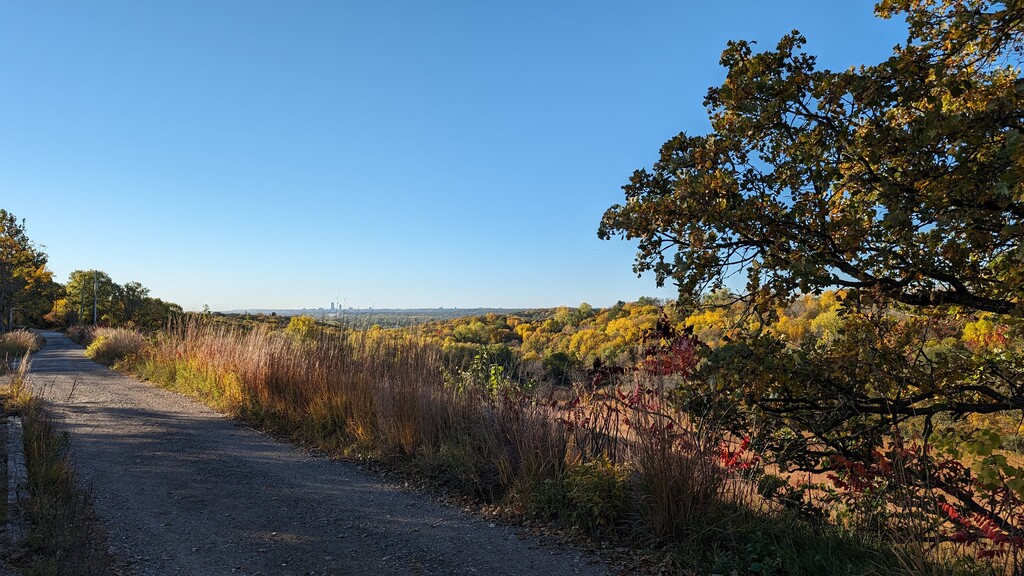
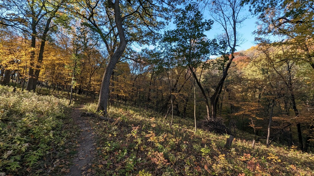
Located within the Neale Woods Nature Reserve in northeast Omaha, the route starts at the Gifford/Neale trailhead north of the parking lot, the route can be completed clockwise or counterclockwise. The route includes all the perimeter trails of the Neale Woods trail system. I ran the trail counterclockwise on October 21, 2023. It was a beautiful, cloudless 50 degree F morning. There are quite a few small trails that make up the entire route, in the order I ran - Neale, Mink, Neale, Columbine, Settlers, Deer, Raccoon Hollow, Hilltop, Maidenhair, Hilltop, Gifford, Fox, Gifford. Generally speaking, if you take the route counterclockwise - take every right turn available on the trails, and if you run it clockwise - take every left turn. The route travels through six different prairie sections as well as hilly, switchback forested areas. Having hiked this area at various times of the year, the fall proves to my personal favorite. Lower temperatures and changing leaves make the route very enjoyable. You may encounter deer and turkey at any time during the run. The route parallels the Missouri River for a half mile during the Mink trail section. While not overly challenging, the elevation change provided by the bluffs' proximity to the Missouri River adds variety to the predominantly flat trails in the Omaha area. Safety note: The transition from the Neale trail to Mink trail (and back) requires the crossing of a low-traffic road, please watch out for cars prior to crossing.

Comments
Update on September 25, 2026:
I attempted to run this route today. The route is currently undoable due to the closure of the Mink Trail on the east side of County Road P51 / N. River Drive. A posted sign indicates flood damage and debris in the Fontenelle Forest, with restoration in progress. The small footbridge is completely blocked off with wooden beams.
Also, two parts of the posted GPX course require significant bushwhacking that is far worse than Barkley! Haha! The Maidenhair Trail in the clockwise direction does not have a sign indicating closure. However, it is clearly not a current pathway. There are faint indications that it was formerly a trail, but it is significantly overgrown with dense foliage. Staying on the Hilltop Trail will work, although it cuts out the entirety of the former Maidenhair Trail and, of course, reduces the distance. Secondly, the Neale Trail, just to the west of County Road P51, is a complete bushwhack. For this part, you could avoid the bushwhack and just proceed on the defined pathway to the road. This would not reduce the distance of the route.
I did see several deer and two flocks of wild turkeys, which was very cool! I think this is a nice route to run if you stay on the defined trails and pathways.