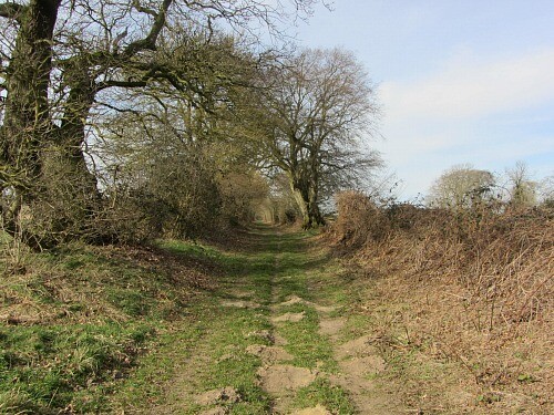
Route: Peddars Way (United Kingdom)

Submitted by RSantos on Sat, 07/25/2020 - 04:52am
Location
United Kingdom
Distance
72 km
Vertical Gain
664 m
Description

https://www.nationaltrail.co.uk/en_GB/trails/peddars-way-and-norfolk-coast-path/

The Peddars Way is 46 miles (74 km) long and follows the route of a Roman road. It has been suggested by more than one writer that it was not created by the Romans but was an ancient trackway, a branch or extension of the Icknield Way, used and remodelled by the Romans.[2] The name is said to be derived from the Latin pedester – on foot. It is first mentioned on a map of 1587 AD. It starts at Knettishall Heath in Suffolk (near the Norfolk-Suffolk border, about 7 km or 4 mi east of Thetford), and it links with the Norfolk Coast Path at Holme-next-the-Sea. (from Wikipedia - https://en.wikipedia.org/wiki/Peddars_Way)

GPS Track
Images

Comments

User Picture
Profile picture for user GeorgeM

I had a shot at this today aiming for 7"30' - didn't realise that Charlie had already been out this weekend and beat me to the FKT. Amazing pace from him. Here's my effort: https://www.strava.com/activities/3992849134