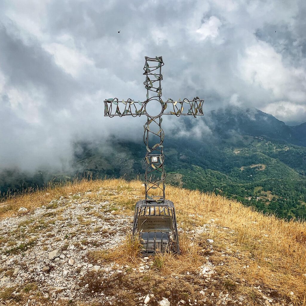
Location
Lucca,
IT
Distance
53 km
Vertical Gain
5,074 m
Description
GPS Track
FKTs
Male
Female
| Alberto Canessa | 10h 56m 0s |
| Lapo Mori | 17h 57m 38s |
| Marta Crivellaro | 17h 21m 54s |
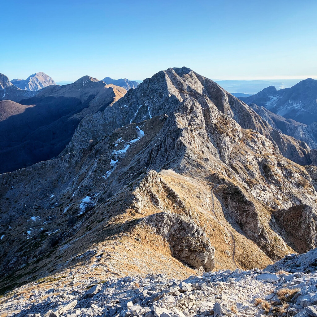
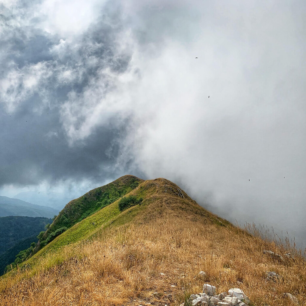
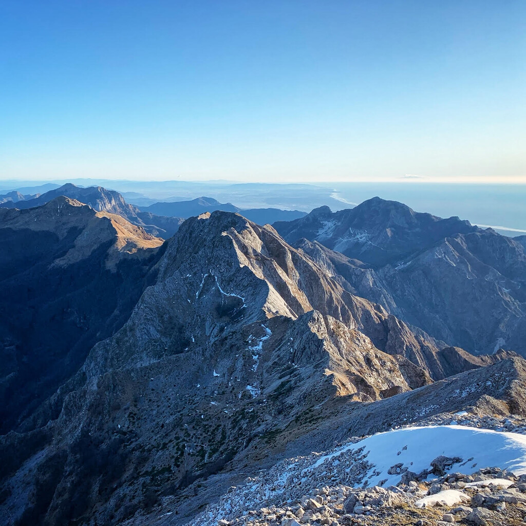
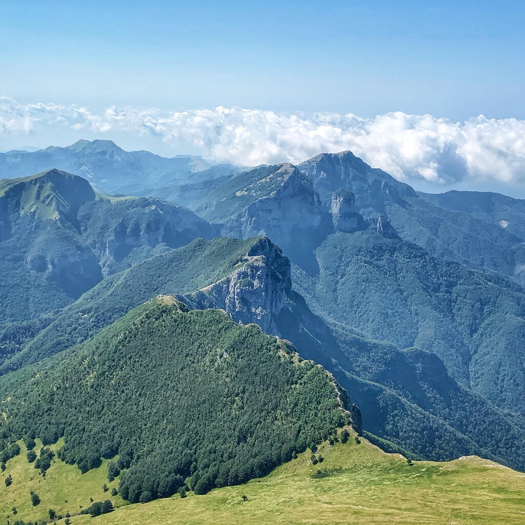
Images
Comments
Great effort Alberto! Congratulations!