Location
Sweden
Distance
84 km
Vertical Gain
1,400 m
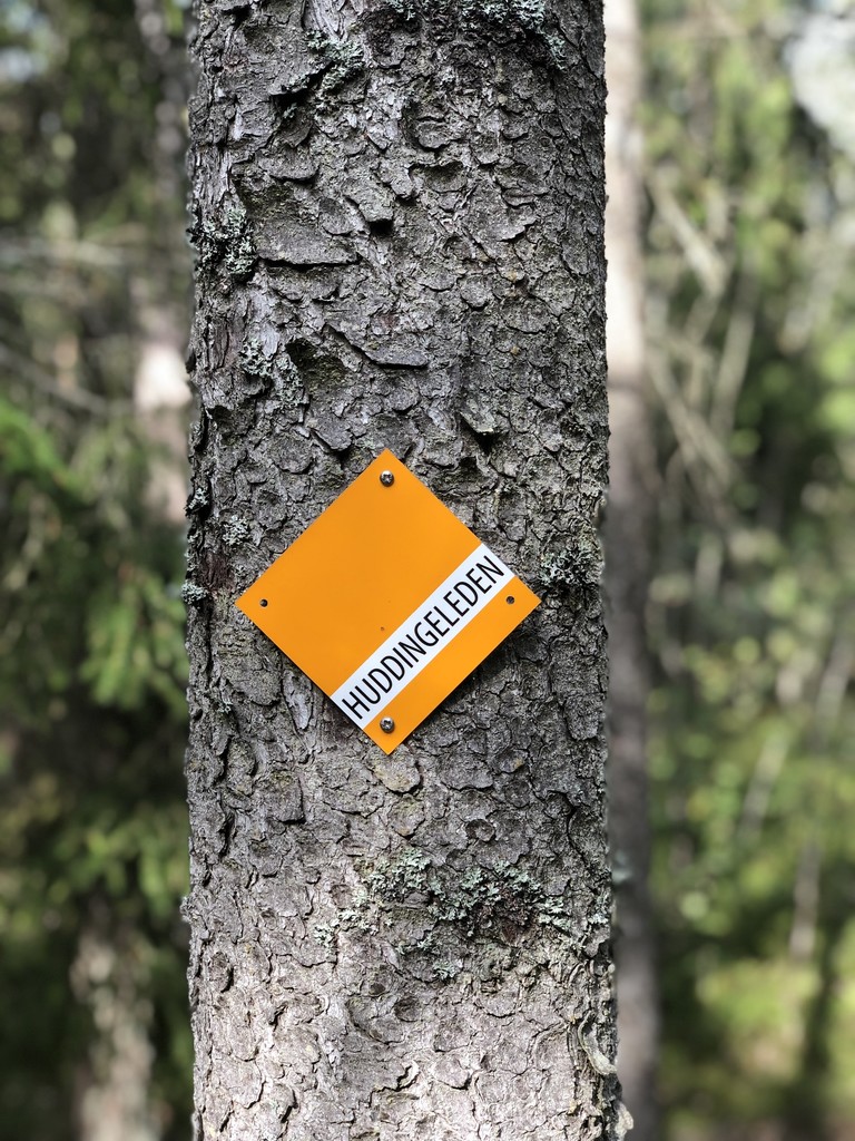
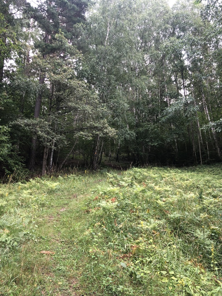
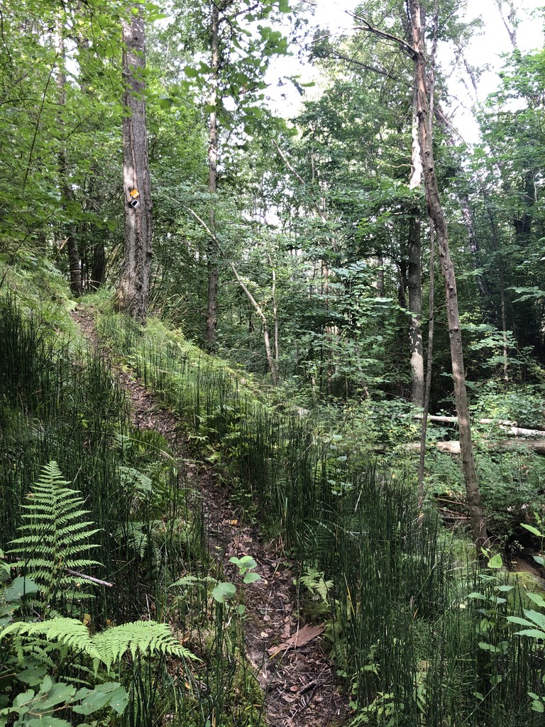
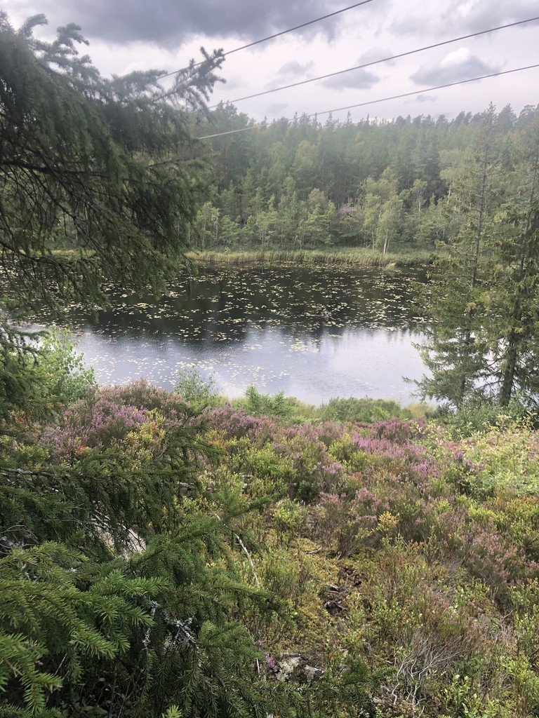
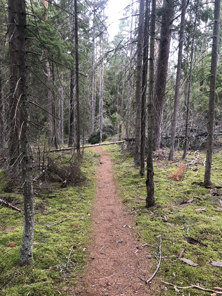
Description
GPS Track
Huddingeleden.gpx2.61 MB
FKTs
Male
Mixed-gender team
| Conny Svahn | 7h 24m 3s | ||||
| Sebastian Pokorny | 7h 41m 33s | ||||
| Torbjörn Wilson, Zakarias Matton | 9h 47m 31s |
| Johan Ställberg | 7h 24m 13s |
| Clara Viklund Borg, Hans Hillner | 12h 24m 5s |
| Fredrik Forsström, Pernilla Otto | 14h 17m 52s |
Images

Comments
A group of 4 of us ran the Huddingeleden route yesterday, a great but very tough day out (it took us 9:02). One thing to note - the new bridge across the motorway at Vårby is now complete, so you don't have to make the detour to the next junction, as shown in the map above. I think this is how the Huddingeleden is supposed to be.This probably knocked off at least 1km-1.5km from the route (our Garmins reported 82.5km & 83km respectively). Not sure how this applies to the previous efforts above (amazing times from Sebastian & Johan by the way).
Route Revision History
2019-04-28: Officially opened as a 80 km route (but the actual distance was much shorter).
2020 (march / april): Officially extended i both ends.
2020-08-28: New bridge over E4 at Vårby. For the first time the official route was possible to follow (without passing Lindvreten).
Planning on giving the route a go next week 250705. Mixed team unsupported :)