Route: Huddingeleden (Sweden)

Location
Sweden
Distance
84 km
Vertical Gain
1,400 m
Description

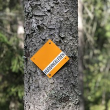
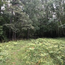
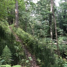
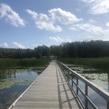
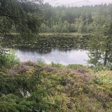
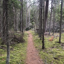
The Huddingeleden winds its way through the entire municipality and links its 13 protected natural areas. Trails and trails take you from high-rise buildings and villas to pristine forests, bird-rich lakes and a vibrant cultural landscape.  84km, 1400m elevation gain.  The trail runs between the northwest trailhead, at Stuvsta commuter train station, and the northeast trailhead next to TrÃ¥ngsund commuter train station. This is the official route as presented by the municipality of Huddinge and the Wikipedia page for Huddingeleden (only in Swedish).  This map shows Huddingeleden in its entirety, marked dotted brown with pink borders:

https://naturkartan.se/sv/huddinge/huddingeleden-80-km


Note that two earlier FKTs were set on the official course at that time, but since the official course has been lengthened, they are listed here:

Fredrik Forsström, self supported in 13h56m08s for ~82km on 6/23/2019 https://connect.garmin.com/modern/activity/3777678965  Unpublished report (not official FKT)

Sebastian Westberg, unsupported in 8h36m18s for ~78km on 8/17/2019 https://connect.garmin.com/modern/activity/3960467169 (he started at the entrance of Gömmaren nature reserve, more than 5km into the official route, and ended almost 3km from the official NE trailhead)  Unpublished report (not official FKT)

GPS Track

Comments

User Picture
Profile picture for user Deri Thomas

A group of 4 of us ran the Huddingeleden route yesterday, a great but very tough day out (it took us 9:02). One thing to note - the new bridge across the motorway at VÃ¥rby is now complete, so you don't have to make the detour to the next junction, as shown in the map above. I think this is how the Huddingeleden is supposed to be.This probably knocked off at least 1km-1.5km from the route (our Garmins reported 82.5km & 83km respectively). Not sure how this applies to the previous efforts above (amazing times from Sebastian & Johan by the way).

User Picture
Profile picture for user Fredrik Forsström

Route Revision History

2019-04-28: Officially opened as a 80 km route (but the actual distance was much shorter).

  • Stuvsta entrance: Where Tjädervägen meet Gömmareskogen.
  • TrÃ¥ngsund entrance: Between Skvattramstigen and the trail at Drevviken. 
  • The bridge over E4 at VÃ¥rby was under construction so to complete the route you need to extend you run by 1,5 km according to the official map and pass at Lindvreten.
  • Distance (ca): 76 km (Incl the way through Lindvreten) 

2020 (march / april): Officially extended i both ends.

  • New Stuvsta entrance: Stuvsta train station (+6 km)
  • New TrÃ¥ngsund entrance: TrÃ¥ngsund train station (+2 km)
  • New distance (ca): 84 km (Incl the way through Lindvreten) 

2020-08-28: New bridge over E4 at Vårby. For the first time the official route was possible to follow (without passing Lindvreten).  

  • New distance (ca): 82,5 km