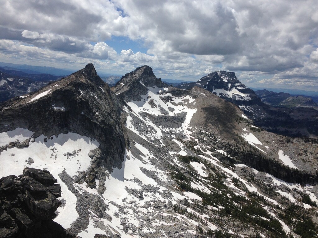
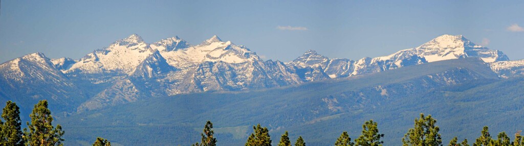
The High Five route is a lollipop loop linking up the five peaks — El Capitan, the Lonesome Bachelor, and the three (West, Middle, and East) Como Sisters — along the headwall ridge of the Little Rock Creek canyon in the Bitterroot mountains, starting and finishing at the Little Rock Creek trailhead. The route emphasizes scrambling efficiently over rocky ridgelines and boulderfields, but sections of trail running and bushwhacking make it a good test of several types of mountain movement. These five peaks stand relatively tall in relation to the rest of the range (El Capitan is the 2nd-tallest in the Bitterroots), and it and the three Como Sisters are easily visible from the Bitterroot valley. This prominence and visual appeal add to the route's allure. It's easy to drive along Highway 93 through the valley, staring at these peaks on the skyline and daydreaming about linking them together.
The route starts with four and a half miles of trail running alongside Little Rock creek, up to a lake of the same name. From there you follow a mostly-there social trail marked with cairns for another two miles up to the base of the headwall.
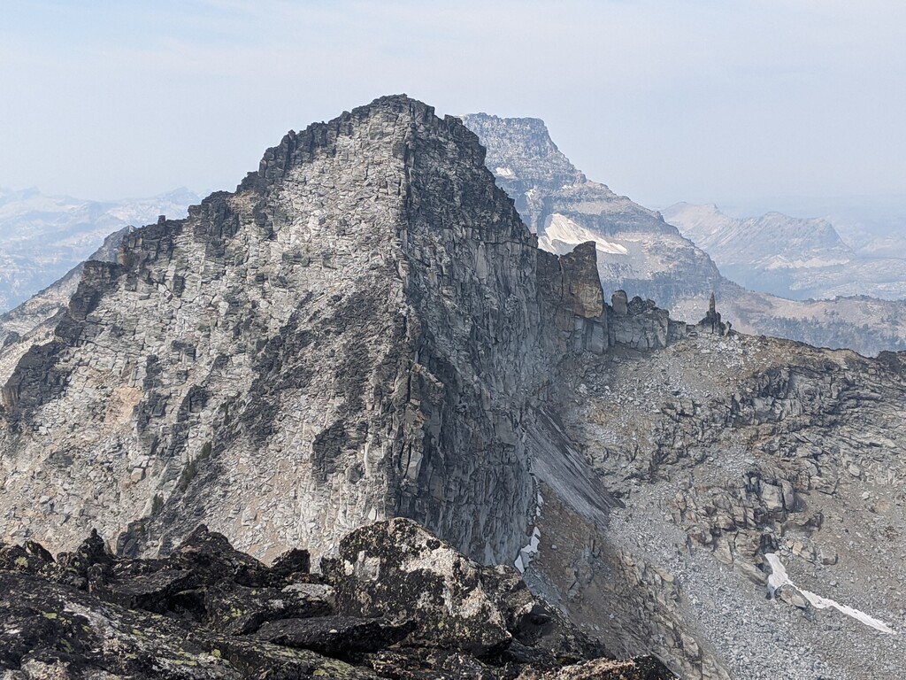
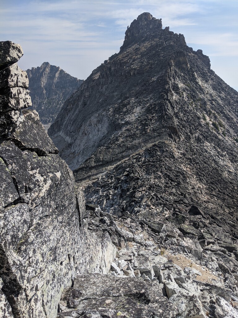
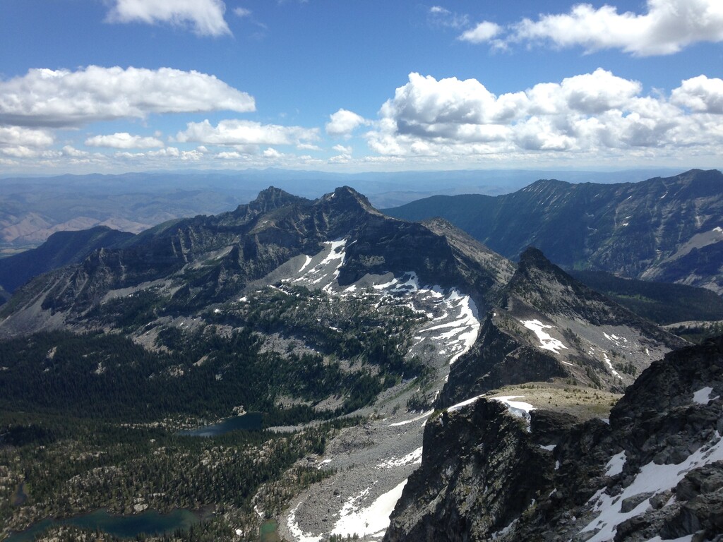
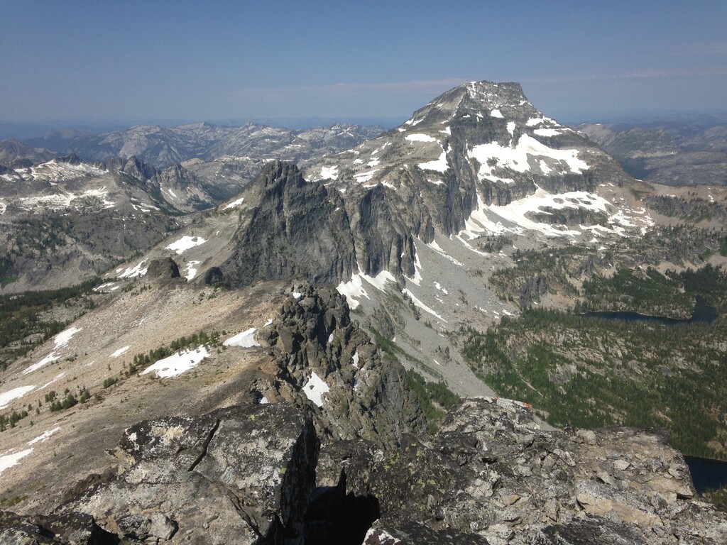
At the headwall you punch up a steep rock and scree gully to the ridge, then spend the next eight miles or so moving through jumbled boulder fields and jagged ridgelines to link the five peaks that make up the route's name. There is one section on the Bachelor that is a short but committing set of class 4 moves, but the rest of the route goes at class 3 or below with good route-finding. The route I've settled on follows what I feel is the path of least resistance through these eight miles and often drops off the ridge in order to avoid slow movement in the cliffs, but I'm sure there is room for improvement and personal preference.
My favorite part of the day is a ledge system on the way to the East Como Sister where you end up crawling on hands and knees between a few mountain mahogany trees and the rock wall with cliffs above and below you. It feels like a secret tunnel, put there exclusively to make the route possible without technical climbing.
After summiting the final Sister you descend about three thousand feet back into the Little Rock creek canyon to meet up with the trail again. This is the blue-collar penance you must pay for the earlier ridgeline glory, a bushwhacking adventure through huge boulders and thick brush with several cliff bands hidden in the forest thrown in for good measure. I've descended this side canyon five different times and have never been able to take the same line twice; luckily though, the cliff bands seem to have enough weaknesses that you're never cliffed out for long before finding a class 3-4 section to downclimb.
Once you hit the trail and pick the leaves out of your ears and rocks out of your shoes it's a three-mile sprint back to the trailhead. And just to make sure you're well and truly worked over, the trail ends with about a 500-foot gut-check climb out of the canyon before you careen downhill the final couple minutes to the trailhead.
It's my hope that more and more mountain runners will take on the challenge of this great route and it will continue to grow as a local testpiece.
Comments
Awesome route. When i'm back in Montana I'll definitely be interested in giving this thing a burn.
Awesome route Nate!
This route is a gem! I gave it a hard burn the other day and missed Nates time by a whopping :26 seconds haha.
https://www.strava.com/activities/9844440816
Nate! Killer route. Had I known about this route I would have posted a time on here! I saw the weakness in the rock near Lonesome Batchelor and was like. ‘I bet it goes’ but alas it was too late to rip out the rest of the route. Next time - mark my word! Cheers.