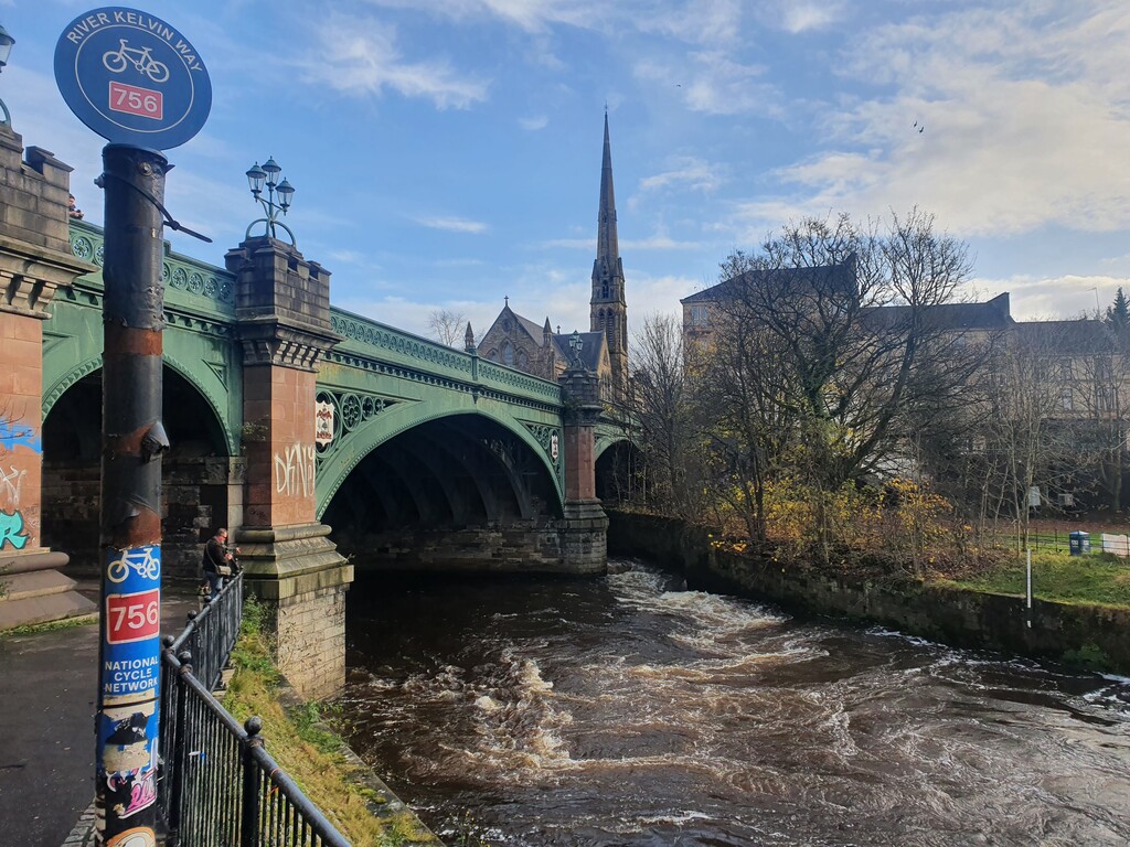
Location
United Kingdom
Distance
16.68 km
Vertical Gain
166 m
Description
GPS Track
activity_5891604264.gpx342.81 KB
FKTs
Male
| Chris Upson | 1h 10m 26s | ||||
| Paul Manson | 1h 15m 42s |
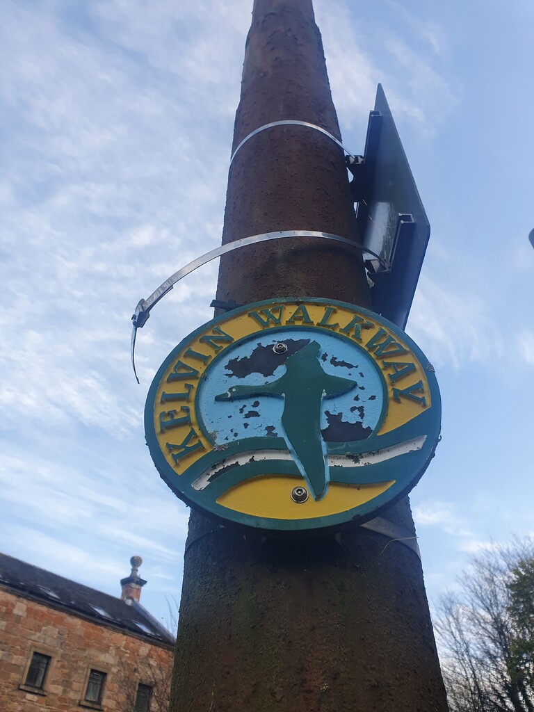
Images
Comments
Delighted to have this route added and naturally I wanted to lay down a good first attempt.
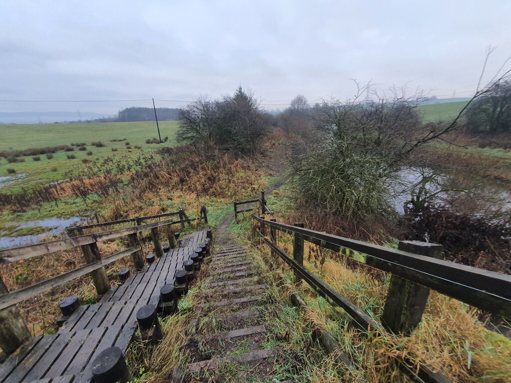
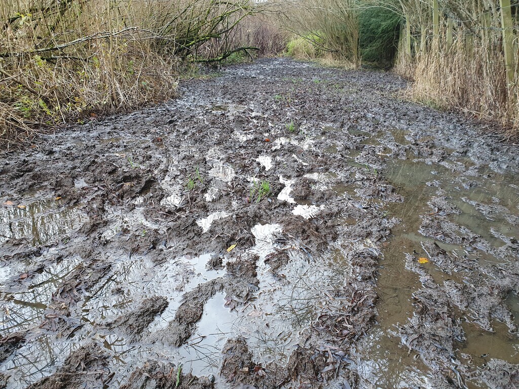
I guess times will vary summer to winter as the route gets very boggy and water logged. So anyway, my winter attempt is 1hr 15min 42sec.
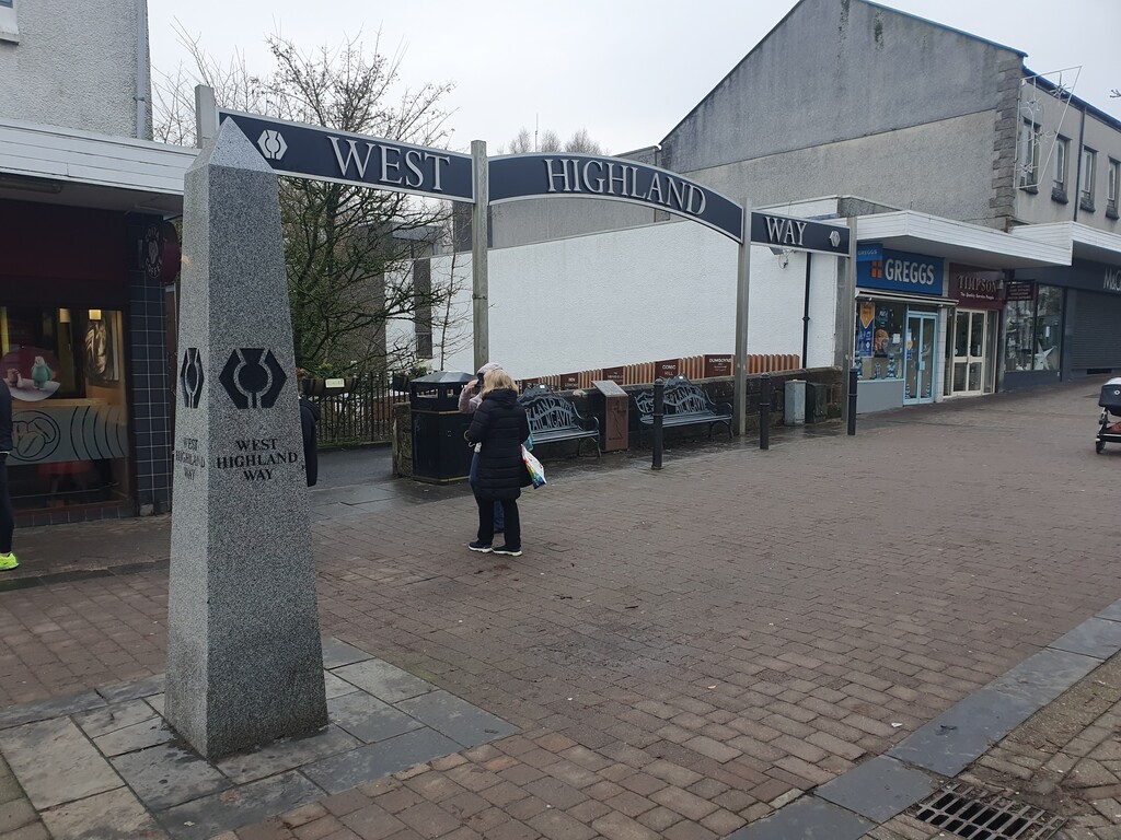
It will be great to hear what others think of the route. After living in Glasgow my whole life, I never knew till last weekend that there was a near off road trail from the city centre out to Milngavie and the start of the West Highland Way.