Route: Kelvin Walkway (United Kingdom)

Submitted by The Random Runner on Sun, 11/29/2020 - 11:21am
Location
United Kingdom
Distance
16.68 km
Vertical Gain
166 m
Description

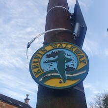
This route is marked on OS maps however signage along the way is very limited.

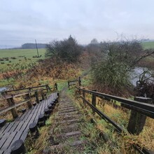
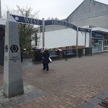
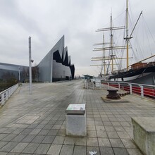
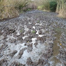
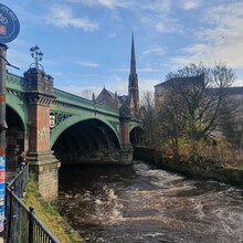
Starting in the city centre of Glasgow at the striking Transport Museum, where the river Kelvin flows into the Clyde, the route begins on tarmac lasting around 7k as it weaves its way out of the city. Passing some stunning landmarks as it cuts through Kelvingrove Park, the clear path follows the river to Maryhill. Here, the route deviates from the river for 1k before rejoining after Summerston Park. This is where the path turns boggy, very boggy, particularly in winter, trainers with grip are a must. There are a few road crossings, the first one watch out as the path continues on the other side of the river. Passing through wide open countryside, the river joins Allander Water for the last few k, as it leads into Milngavie precinct cutting through Tesco carpark and finishing at the iconic start of the West Highland Way.

Walkhighlands have a detailed route however this deviates from the OS route around Summerston Park https://www.walkhighlands.co.uk/glasgow/kelvin-walkway.shtml

GPS Track

Comments

User Picture
Profile picture for user The Random Runner

Delighted to have this route added and naturally I wanted to lay down a good first attempt. 

I guess times will vary summer to winter as the route gets very boggy and water logged. So anyway, my winter attempt is 1hr 15min 42sec.

It will be great to hear what others think of the route. After living in Glasgow my whole life, I never knew till last weekend that there was a near off road trail from the city centre out to Milngavie and the start of the West Highland Way.