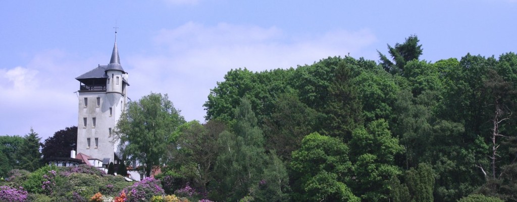
Route submitted by Olaf Soons:
The Sallandse Zandloper is a long-distance walking route from east to west through Salland. The route runs from high to low: from the National Park De Sallandse Heuvelrug to the floodplains of the IJssel, with more than 65 meters difference in altitude. After a start on the beautiful, natural Sallandse Heuvelrug you will experience the agricultural landscape in a special way. Part of the route leads you through meadows and fields, along maintenance paths of the Groot Salland water board. You will discover the beautiful back of the landscape, so you will get to know Salland very differently.
The Sallandse Zandloper is a route of 45 km. The route is part of the Salland Walking Network and is marked in two directions.
More info (in Dutch) is available here: https://www.sallandnatuurlijkgastvrij.nl/wandelen/Zandloper/Praktische-informatie/
The Route has 2 different starting points as well as two different endings. The standard route runs between the railwaystations Holten - Olst. An other option to start is the railway station at Nijverdal and the route could also be ended at Fortmond/Wijhe.

Comments
This Saturday, February 23rd, I will be attempting to set a first known time on the Sallandse Zandloper. Starting at Holten railway station, finishing at Olst railway station. I do not know of any documented attempts previous to this one.
Considering that it will be part of a training run/hike, I don't think it will be a very fast and competitive time. But hey, someone's gotta be the first right :).
Yesterday, on May 25th 2019, I bettered the previous time se by Olaf Soons to 3h53m. You can find my announcement and report here:
https://sites.google.com/view/matthiasekman/running/sallandse-zandloper-trail
Thanks to Olaf for providing the gps track. I reached out to you via IG, but might have gotten the wrong Olaf :-).
On May 2nd 2020, I will be attempting to set the FKT on this route (unsupported, direction Holten to Olst)