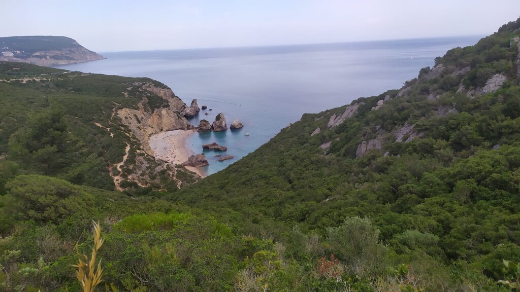
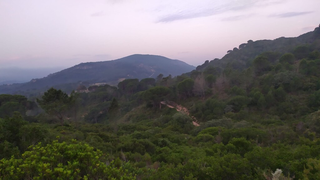
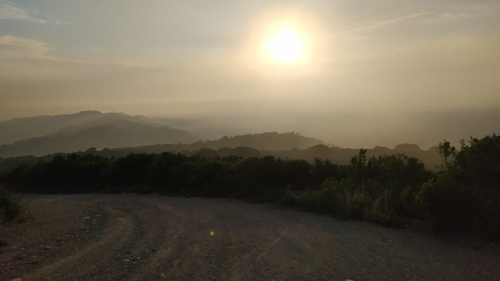
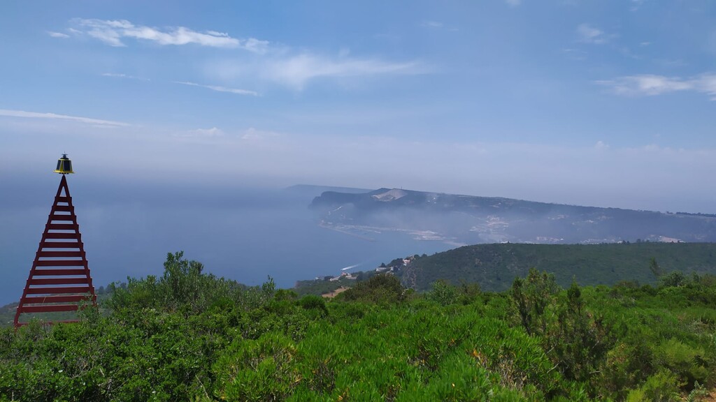
Location
Portugal
Distance
60 km
Vertical Gain
2,500 m
Description
GPS Track
TransArrabida.gpx289.28 KB
FKTs
Male
| Hugo Palma | 10h 20m 28s | ||||
| Paulo Silva, Paulo De Sousa, Salib | 12h 18m 13s |
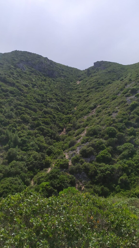
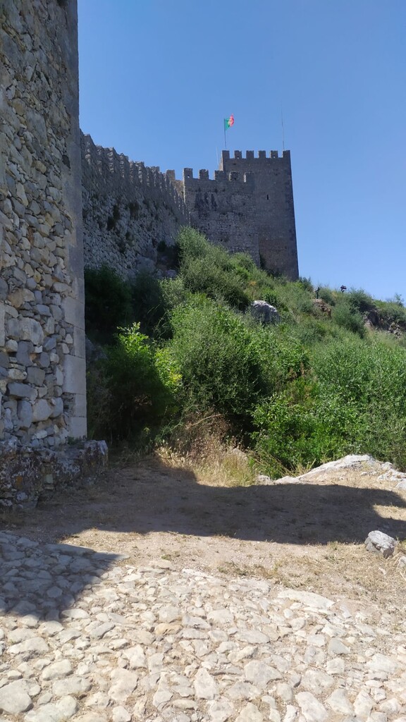
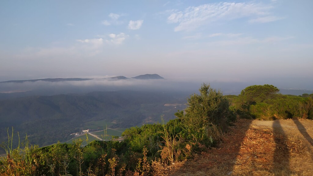
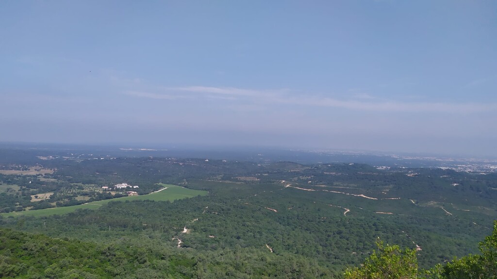
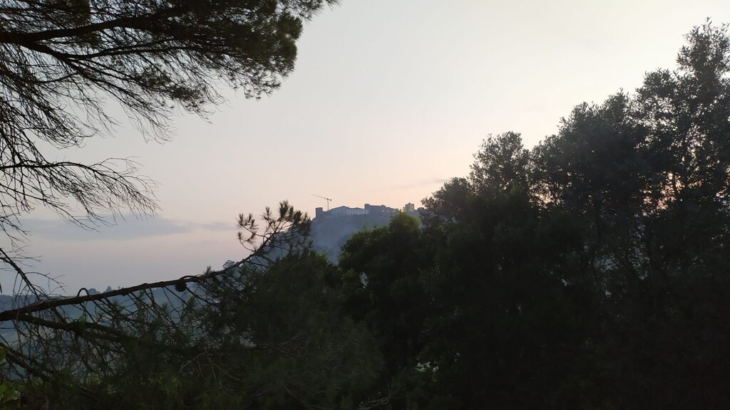
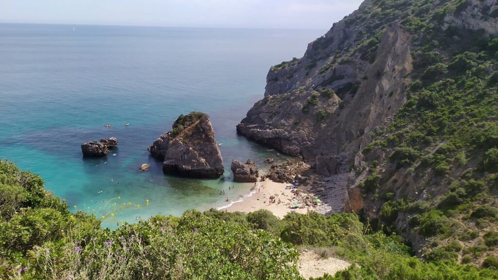
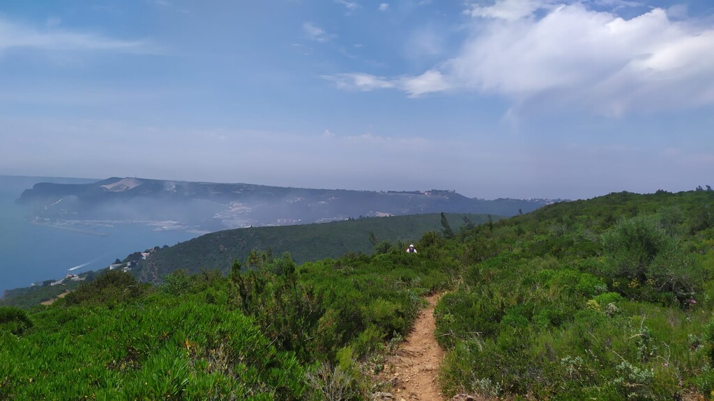
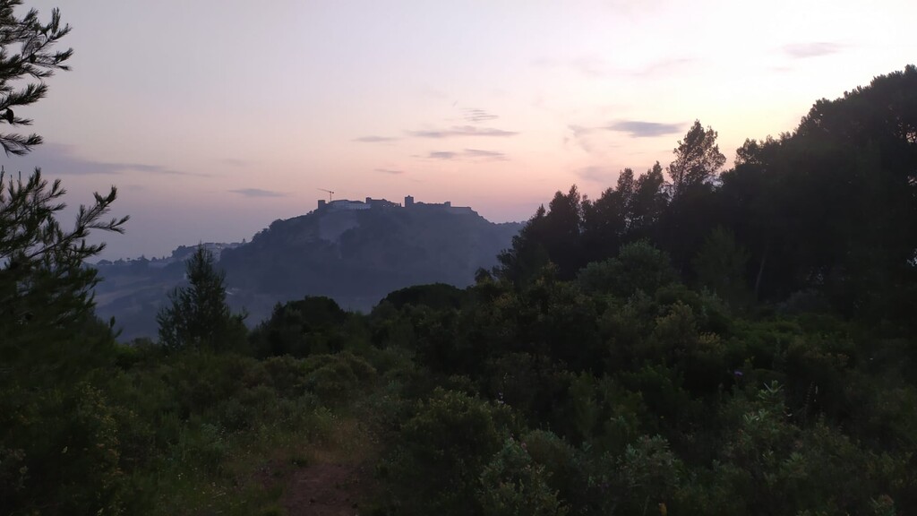
Images

Comments
brevemente, vai ser a minha vez de tentar tirar uns minutos a este percurso.