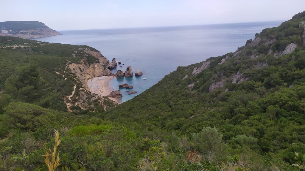
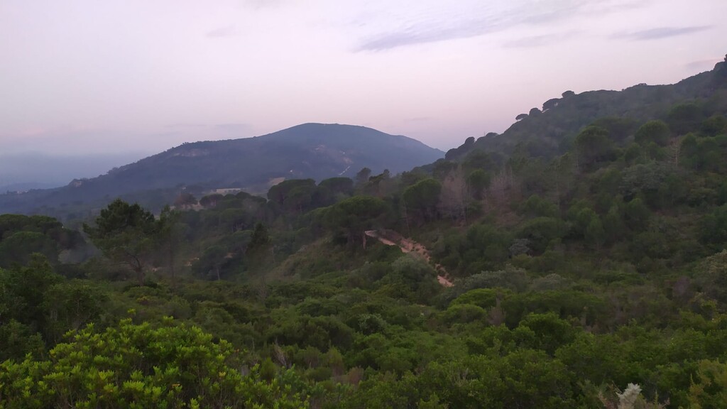
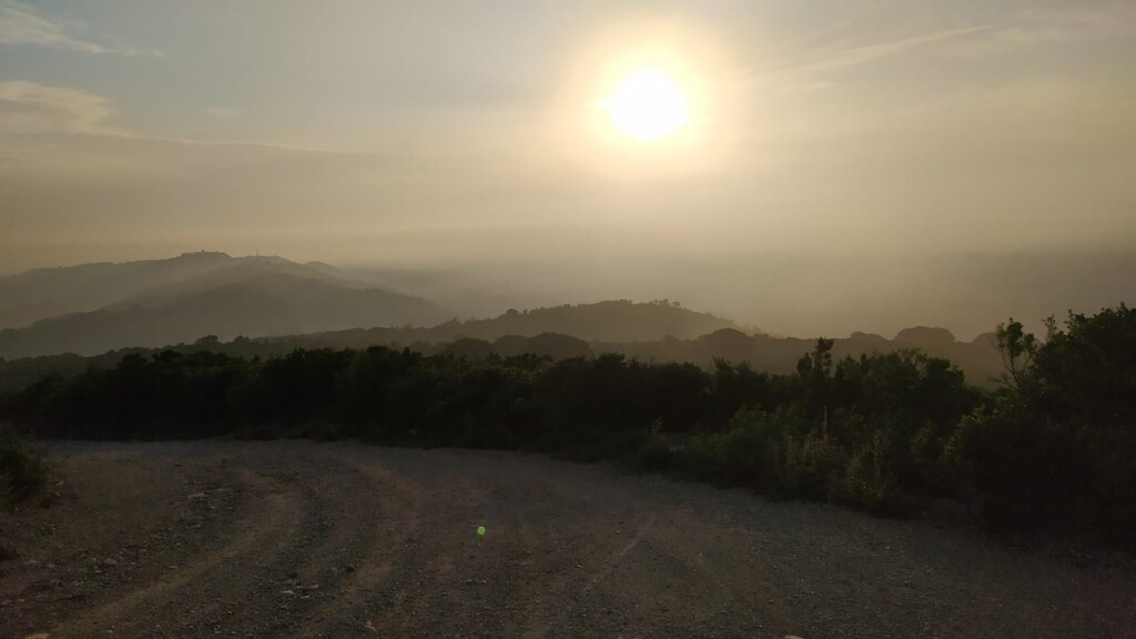
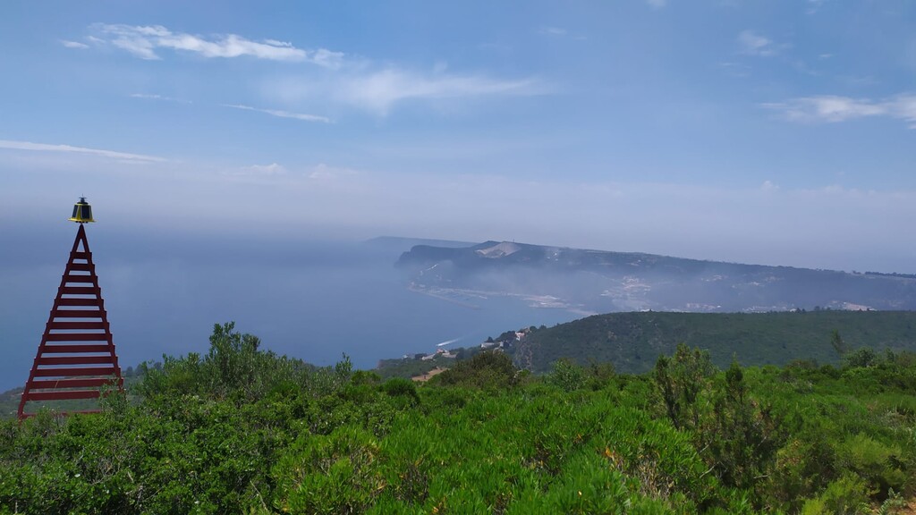
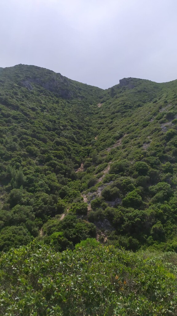
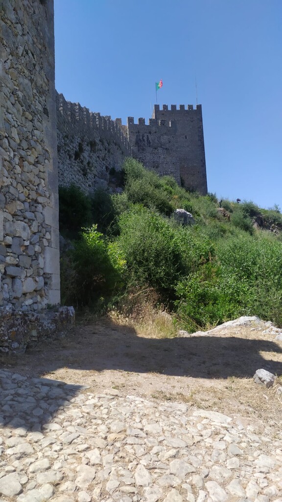
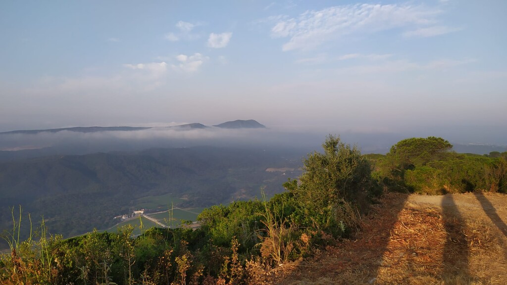
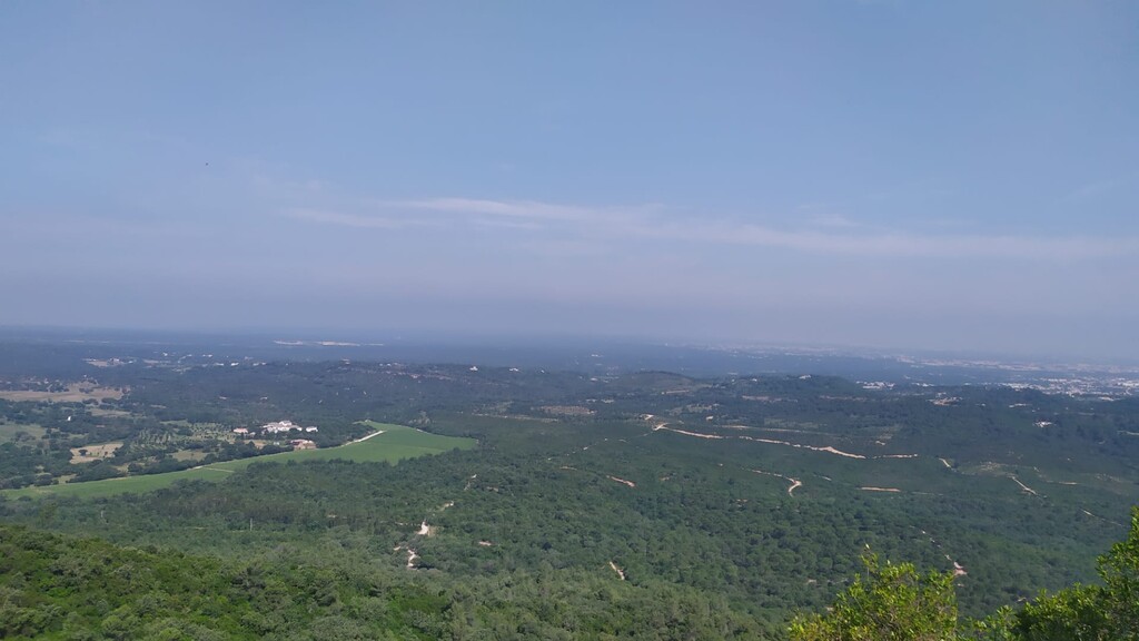
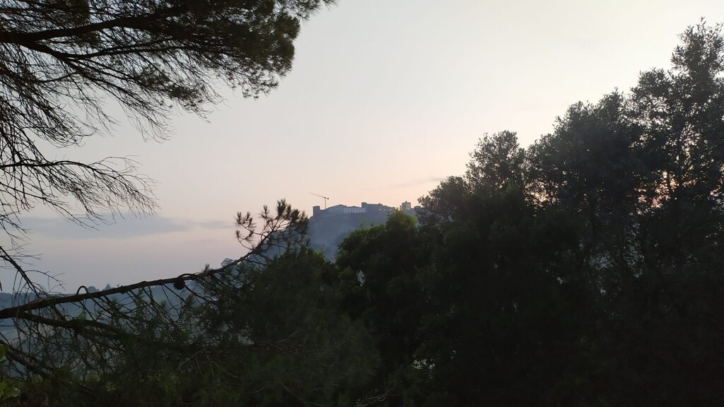
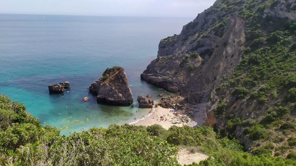
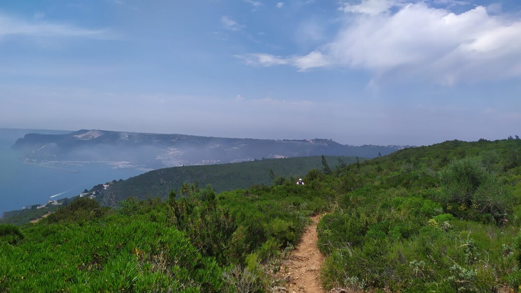
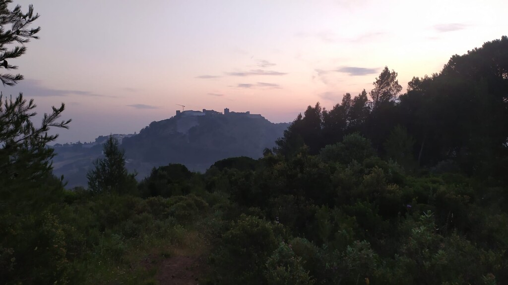
This route connects one side of Arrábida Natural Park to another, from Palmela to Cabo Espichel through all the most mythical points: Vigia de São Luís, Formosinho (highest peak), Serra do Risco, Sesimbra castle and Ribeira do Cavalo beach.
About 60km with 2500m elevation gain.
https://en.wikipedia.org/wiki/Arr%C3%A1bida_Natural_Park
Arrábida Natural Park (Portuguese: Parque Natural da Arrábida) is a protected area, founded in 1976 and covering an area of 108 square kilometres (42 sq mi), situated between the town of Sesimbra and the city of Setúbal, the hill of Palmela and the sea, including areas in the municipalities of Setúbal, Palmela, and Sesimbra in the Portuguese Península de Setúbal region, district of Setúbal.
The chain of elevations in the park—e.g., the hills of S. Luis, Gaiteiros, S. Francisco and Louro—reach their highest peak in Serra da Arrábida (499 metres (1,637 ft)), covered in Mediterranean-like vegetation and a microclimate of which resemble Adriatic locations such as Dalmatia, and chalky in constitution where the range comes into contact with the sea.
Submitter: Paulo Silva


Comments
brevemente, vai ser a minha vez de tentar tirar uns minutos a este percurso.