Location
Respublika Krym,
RU
Crimea,
UA
Distance
232 km
Vertical Gain
12,350 m
Description
GPS Track
TransCrimeanMountains (1).gpx435.02 KB
FKTs
Male
| Yakov Frenklakh | 2d 9h 59m 21s |
| Pavel Kiyko | 4d 17h 58m 0s |
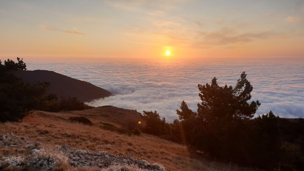
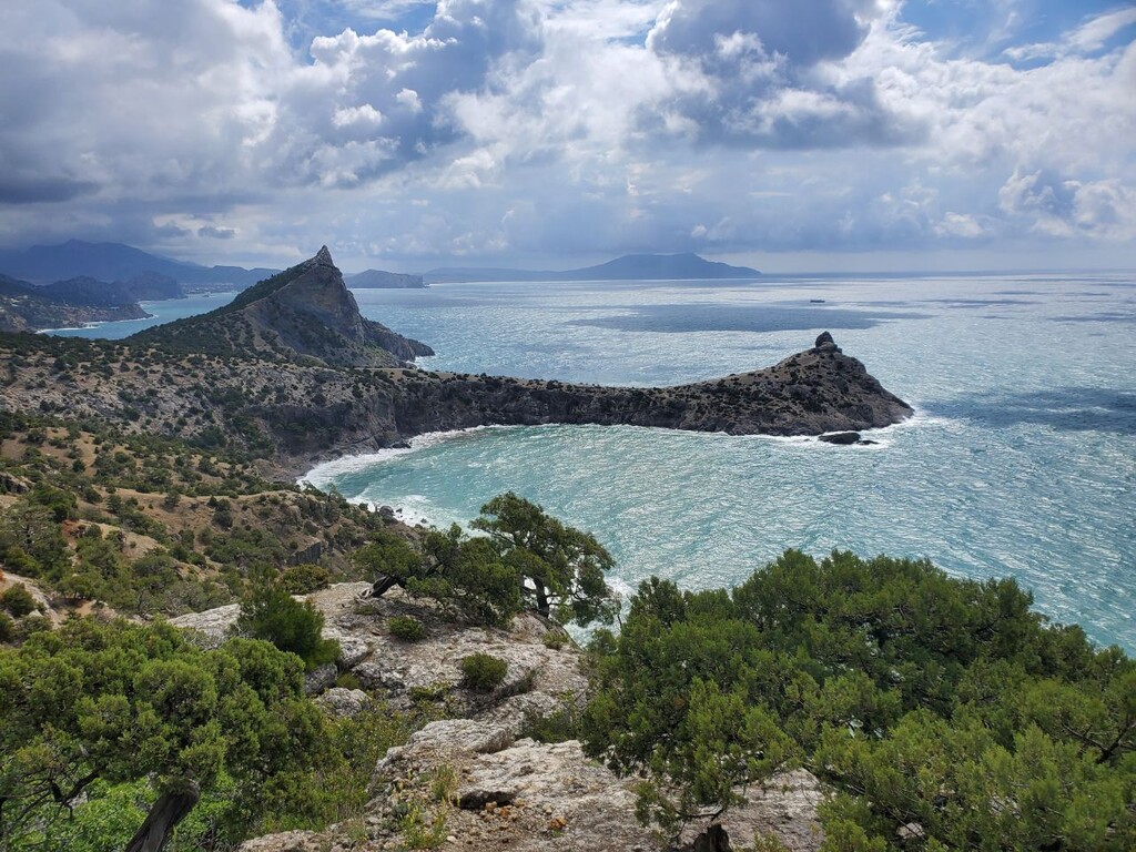
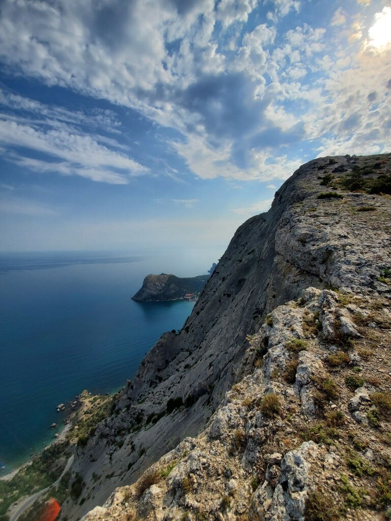
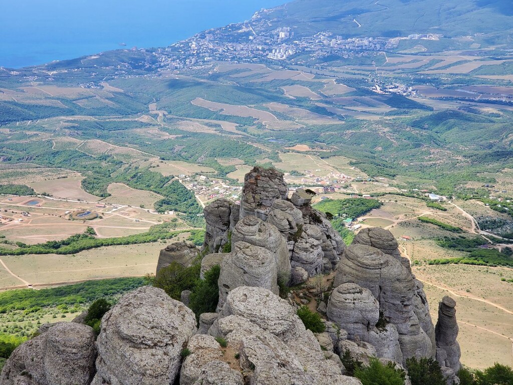
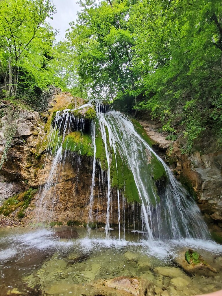
Images
Comments
Технический отчет о первой удачной попытке прохождения маршрута
Report from first successful attempt (Russian)
https://mult-yaxa.livejournal.com/46173.html
Таблица с актуальными источниками воды. Расстояния для первой части посчитаны от старта, для второй - от Ангарского перевала.
Actual water sources and stores (Russian)
https://docs.google.com/spreadsheets/d/1BScR-cjPYsyMxAdWsXUu5bDe3sCbx8y…
Прошёл полностью маршрут в формате "Supported" за 71 час.
Отчёт о прохождении в формате unsupported https://100miles.ru/my-first-fkt/ . 4d 17h 58m 0s
Вода https://docs.google.com/spreadsheets/d/1EltnXutvDAmmxmyPCQrKq3B4fMcZ6-6…