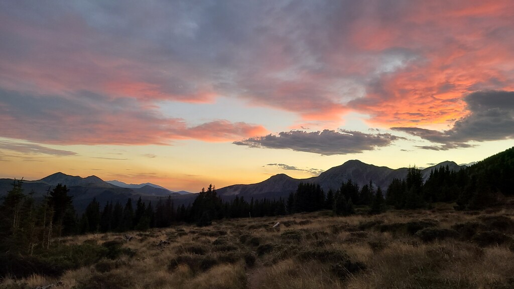
Location
New Mexico,
US
Distance
69 mi
Vertical Gain
13,000 ft
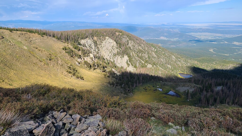
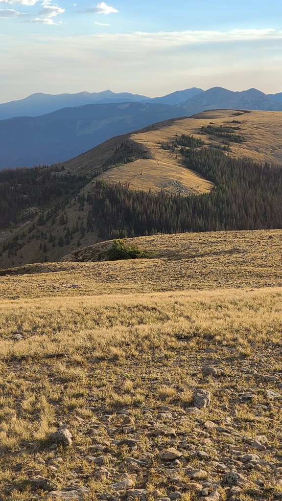
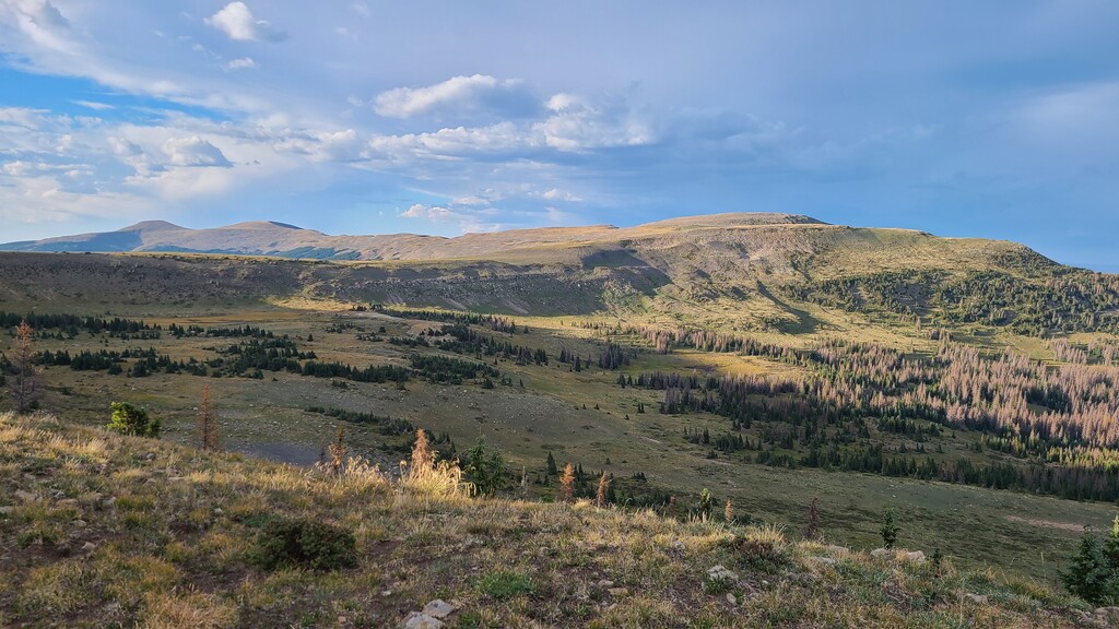
Description
GPS Track
FKTs
Male
Female
| Jason Halladay | 1d 1h 13m 39s |
| Jason Halladay | 1d 1h 16m 40s |
| Ella Bredthauer | 1d 8h 58m 39s |
Images

Comments
This FKT site doesn't differentiate between direction on point-to-point routes unless the route is a "Premier" route. The Skyline Trail #251 isn't a premier route, yet. :-) Anyway, to document it, on June 5th, 2021, I ran the route north to south in 25:16:40, unsupported. This was 13 minutes slower than my south to north FKT in September 2020. The slower time is on account of running into more people to stop and talk with and navigating the downfall sections on the southern/eastern portion of the trail in the dark. Plus, since this was unsupported, I was carrying more water in the middle section. Another fantastic outing.
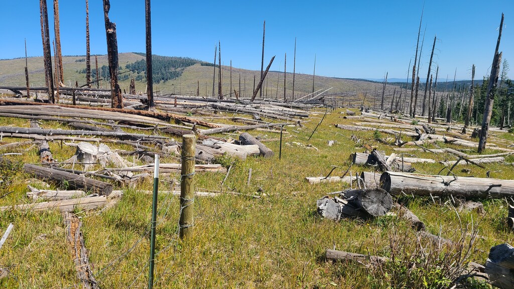
Just a remark from September 2024. If you're inspired by Jason or Ella's FKT's on the Skyline, please be aware that it will likely be a decade or more until there is any chance of coming close to their times. I just hiked the "open" section of the trail from the intersection with the Porvenir Canyon trail all the way back to the Santa Fe ski basin (the trail was closed south of FS645/Elk Mtn Trailhead).
The damage from the Hermits Peak/Calf Canyon fire is incredible, with many miles no longer having any visible trail and covered in downed trees. Given the lack of foot traffic on the east side of the Skyline, I suspect it will be many, many years before a new trail is established there and cleared.
The trail already had issues before the fires, which Jason & Ella apparently dealt with very efficiently. But the damage from the fires is on another level, and I think that if you're thinking of attempting an FKT on the Skyline, you will not succeed without tremendous amounts of work from the NFS and/or volunteer groups.