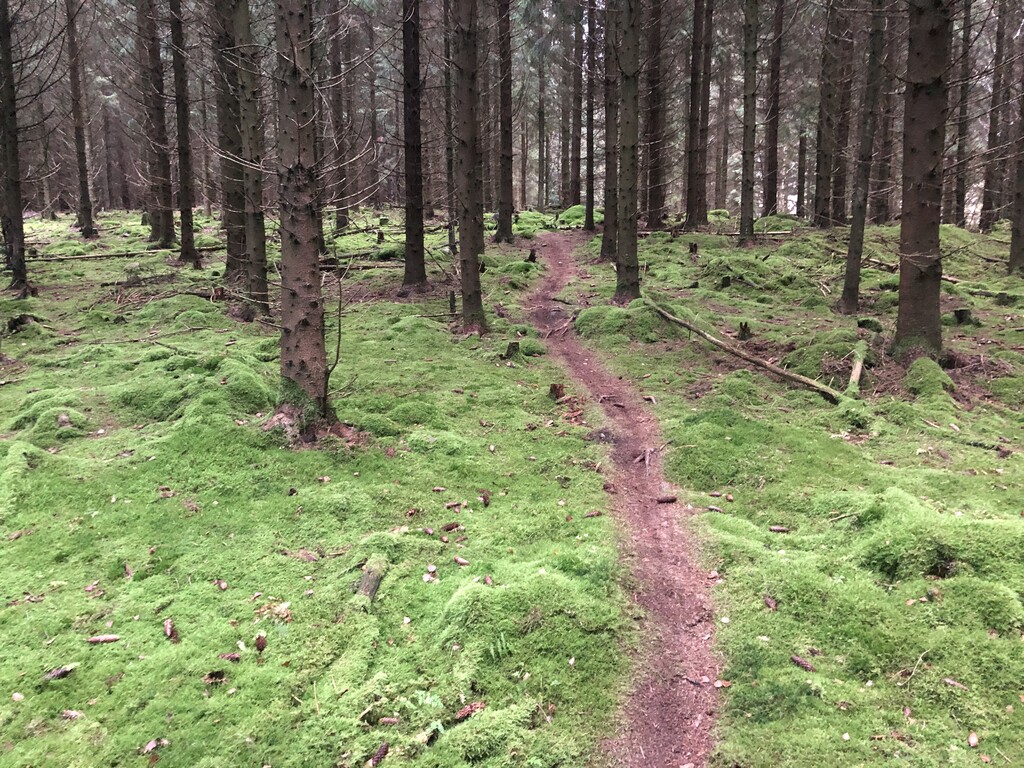
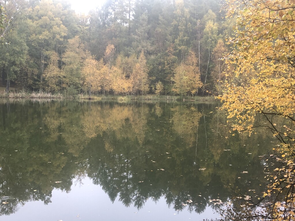
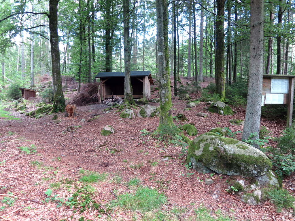
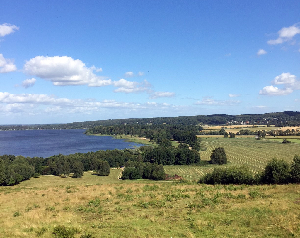
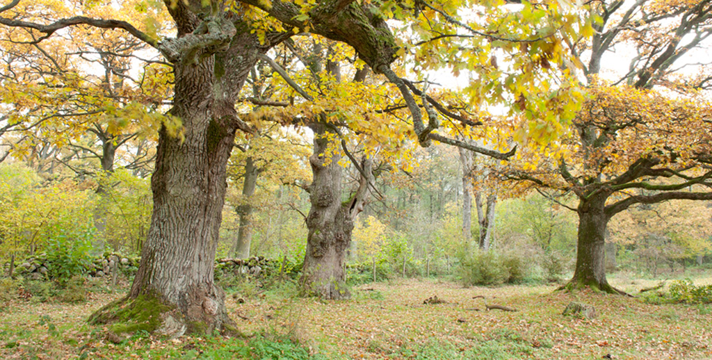
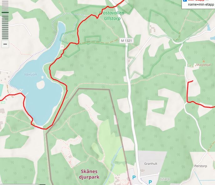
SL2 of Skåneleden (Scania trails; https://www.skaneleden.se/en/#googtrans(sv|en)) is a 225 km path going largely north-south through the center of Skåne (Scania). The suggested FKT route is the natural N-S route, while there are many side routes and smaller circles attached to the SL2 network. It passes over several of the wide ridges of the Scania landscape through deep forests, along lakes and streams and to the south through open agricultural landscapes. The route changes considerably from paved and gravel roads to highly technical trails. Along this and (other trails of Skåne) there are numerous shelters and opportunities to camp. Likewise the trail passes through or close to several municipalities for opportunities to get water or other requirements. The GPX route has several appendices to and from shelters, train stations, parking opportunities and so. Neither of the appendices have to be run but you may want to use them for a rest, bathroom visits, water or food. Unfortunately the GPX file that can be put together at the homepage currently lacks a small connection midway in the route (north of Höör). For an FKT it is suggested to connect the north path at Vaxsjön (lake) to the shelter by Maglebjär on the south path (see separate picture). This is an east-west trail of a few hundred meters north of the animal park (zoo) (Skånes Djurpark) crossing a road midway. SL2 is one of the major trails of the trail system also counting SL1, SL2, SL3 and SL4 in the FKT list of trails. The trail can be run in either direction.
Related paths:
https://fastestknowntime.com/route/skaneleden-sl1-kust-sweden
https://fastestknowntime.com/route/skaneleden-sl3-sweden
https://fastestknowntime.com/route/sl4-skaneleden-sweden
https://fastestknowntime.com/route/hovdalaleden-sweden
Comments
Hej,
Jag redigerade GPX filen kring Höör och förtydliga några ställen där gpxen gick utanför Skåneleden vissa smådelar. Jag åtgärdade också start och slutpunkt som såg ut att inte riktigt stämma. Du kan ladda ner uppdaterad gpx-fil här om du vill ersätta den med befintliga:
https://www.plotaroute.com/route/1610538
/Jonas Bergström
Atck för hjälpen. Stefan Bergsten det är till dig då :-)
*Tack. Tog reda på att den lilla förbindelsestigen även den ä på Skåneleden men på segmentet som går söder om sjön så det skulle bli en stor appendix att ta med.