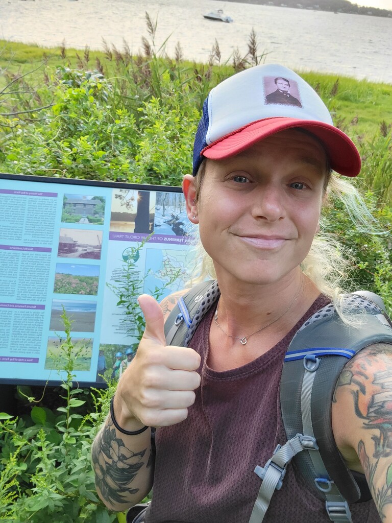
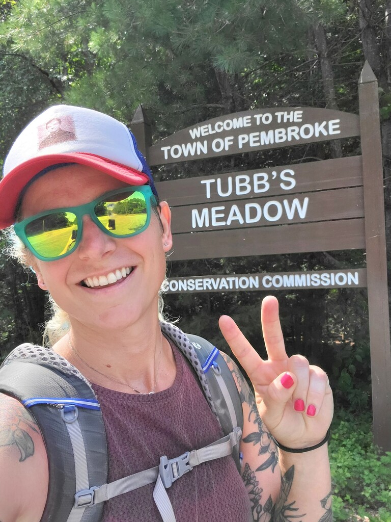

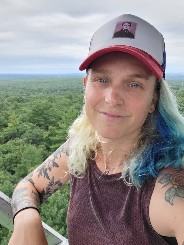

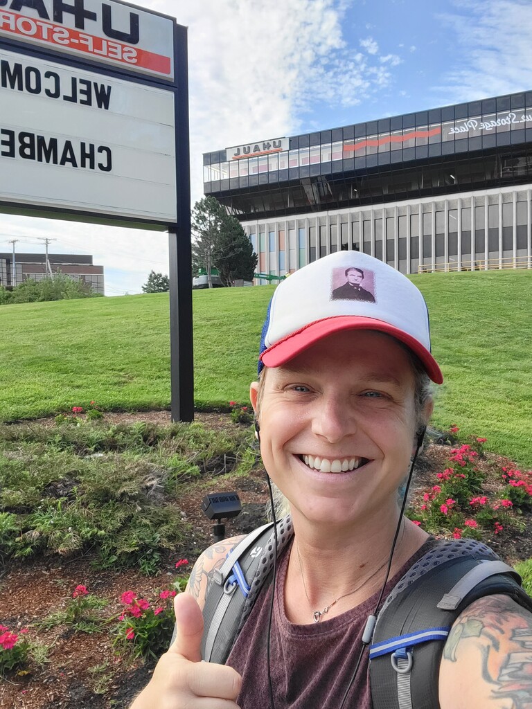
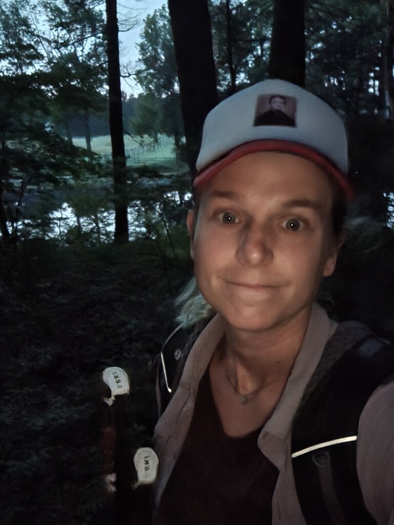
I hiked the Bay Circuit Trail going north from Saturday August 28th to Friday September 3rd 2021. I hiked by myself the entire time. The weather was generally pretty temperate although humid. The bugs were bad most days. Night one I camped in a stealth spot of of Forest Street in Hockomock Swamp WMA land, it rained lightly. Night 2 I camped in Walpole Town Forest (behind the high school) after coming in to Walpole to get dinner at Supreme Pizza. Night 3 I stayed in the Econolodge in Framingham and cleaned and bandaged some bad chafing on my hips and inner thighs. Night 4 I camped on a side trail next to Farrar Pond in Lincoln. Night 5 I stayed at the Motel 6 in Tewksbury (due to flash flood warnings as a result of Hurricane Ida). Night 6 I camped in Georgetown Rowley State Forest.
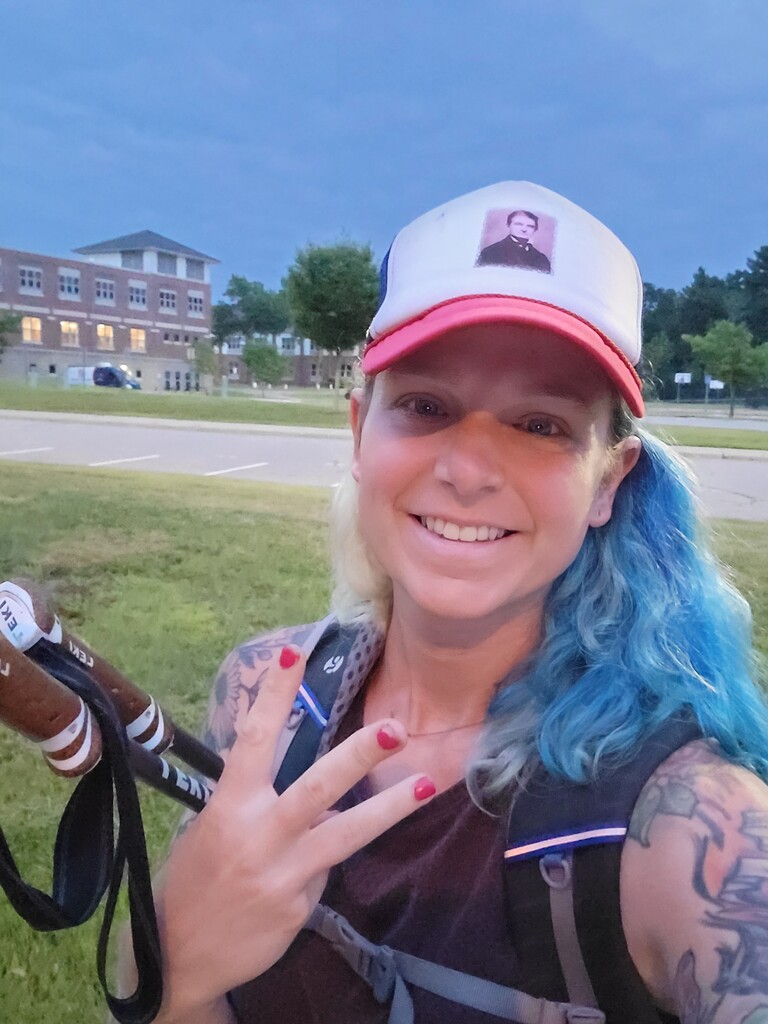
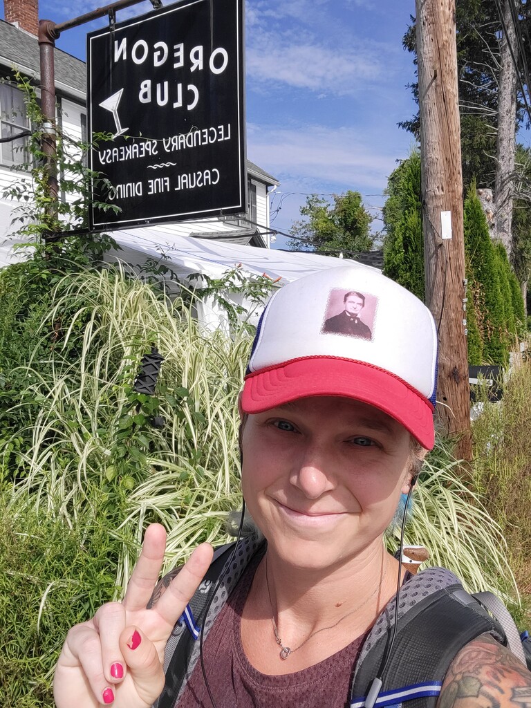
I got water from streams along the way when it wasn't too swampy etc. I also stopped in state park buildings like Borderland State Park, or in restaurant bathrooms like in Dunkin Donuts etc. I also found water at occasional water fountains, like at Phillips Andover by a baseball field. Resupplying with food was really easy. Because of the mileage I was doing I ran into towns or at least opportunities to buy food each day so I mostly just carried snacks/protein bars to supplement town food I ate in town or carried out.
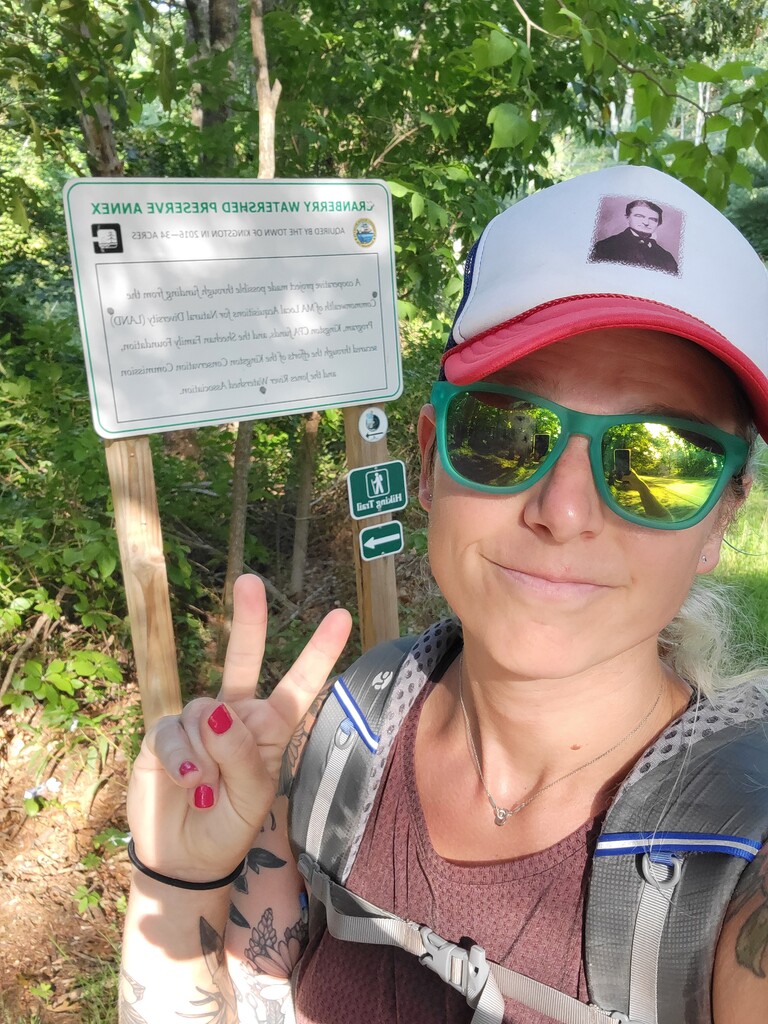
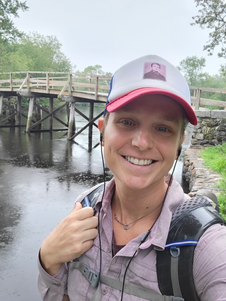
The hike was physically demanding because of the large amount of road walk, so my feet were in a lot of pain after the first couple of days. The trail itself isnt especially difficult, the biggest hill being Moose Hill. There were a few days I had to wade through water, including a flooded marsh on day 1 and then day 6 and 7 after Hurricane Ida soaked the trails. Some sections were completely overgrown, such as sections that pass under powerlines as the plants grew so fast there they overtook any semblance of trail. Also, along the Merrimack River in Lowell and Tewksbury you walk behind all these houses on a raised ledge built out of rocks so its relatively flat, but plants have completely overtaken a huge swathe of the trail so that was unpleasant to push my way through in the rain on night 5. Another issue were sections that aren't blazed or are inadequately blazed. I found myself using a combination of the PDF maps and the section narratives from the BCT website as well as google maps to triangulate my location to figure out the intended route.
Overall, I enjoyed the challenge of thru-hiking a trail not many people have thru-hiked. Figuring out the logistics of water carries and where to stealth camp was exciting and kept my brain engaged throughout the day. I hope that more people begin to thru-hike this trail and that in turn more resources for hikers will pop up!
Comments
Congrats on this, Lyla! Great inspiration for future through-hikers.