Location
Massachusetts,
US
Distance
221 mi
Vertical Gain
14,000 ft
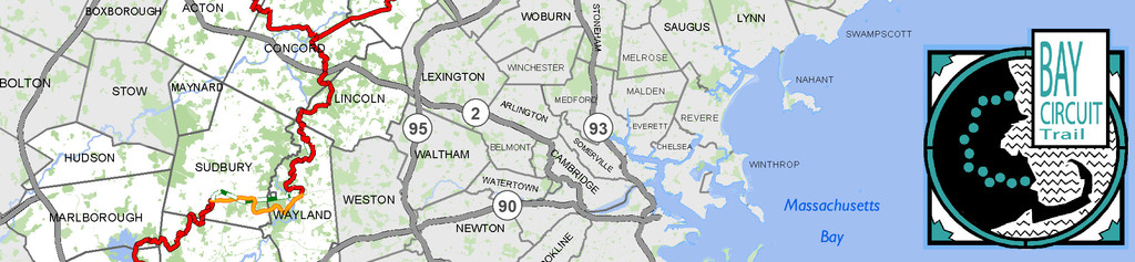
Description
GPS Track
Bay_Circuit_0.gpx4.33 MB
FKTs
Male
Female
| Julia Boucher | 5d 15h 14m 0s |
| Lyla Harrod | 6d 7h 7m 0s |
Images

Comments
Starting on Tuesday, June 23 at 6am, I will run the Bay Circuit Trail starting at Plum Island (Newbury) and heading south until I reach Kingston Bay (Kingston). I will travel the western split from Codman North (Lincoln) to Wayland Center and then northern split from Tubbs Meadow (Pembroke) to Kingston Bay. The ~1-1.5 mile section along the Merrimack River between Burnham Rd. and the Stackpole St./Corrigan Ave. in Lowell in not maintained and currently overgrown/impassable. To be as true as possible to the route, I will followed roads adjacent to the trail to connect these points, to the best of my ability. This will be a supported effort.