This route has a combination of single track, towpath, hills, creek crossings, level areas, a little bit of everything and most of all great sights of the valley.
This loop starts at Brandywine Falls Parking lot.
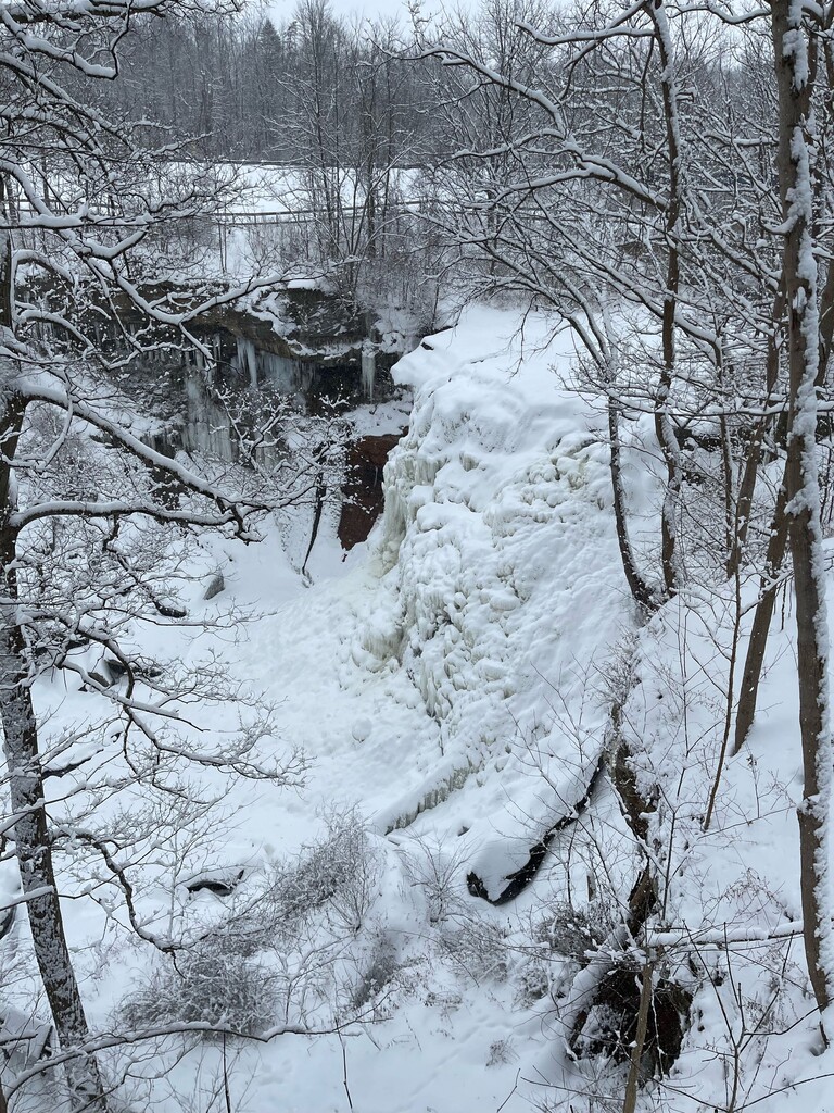
Walk toward the steps in the opposite corner of the bathroom pavilion, the trail turns to a Y - start on the trail toward the falls (right). Brandywine gorge trail. This is a boardwalk with some steps, do not go on the observation deck, continue 'right' to go behind the falls.
Once over the bridge stick next to the fence and connect to the paved path near the picnic tables.
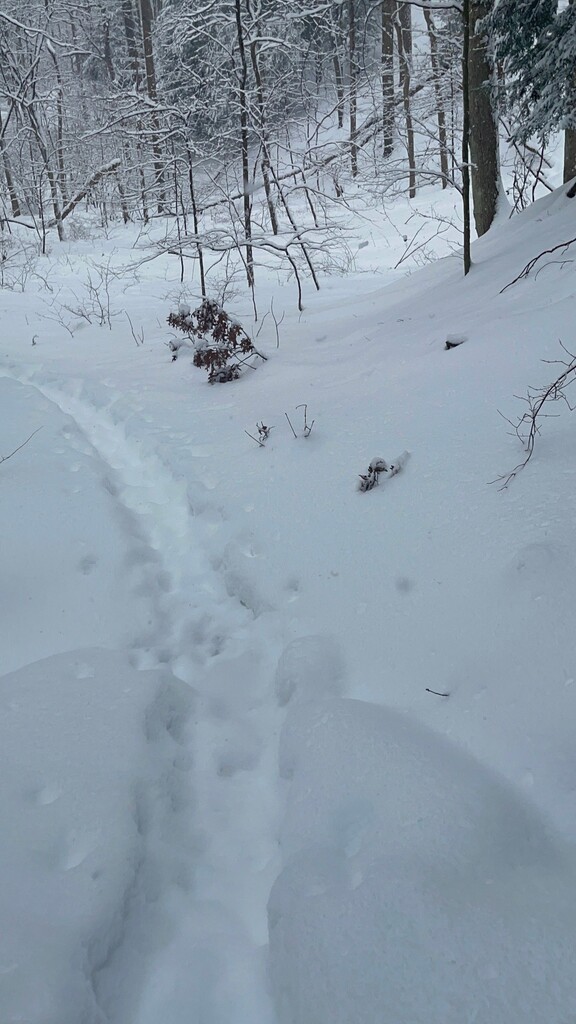
Take the first left trail, single track, down toward the water. This is a continuation of the Brandywine Gorge Trail.
This trail will continue, across a bridge, once you reach a Y in the trail, to either continue on the Brandywine Gorge Trail (left) or (right) onto Standford Trail - take the right onto the Standford Trail.
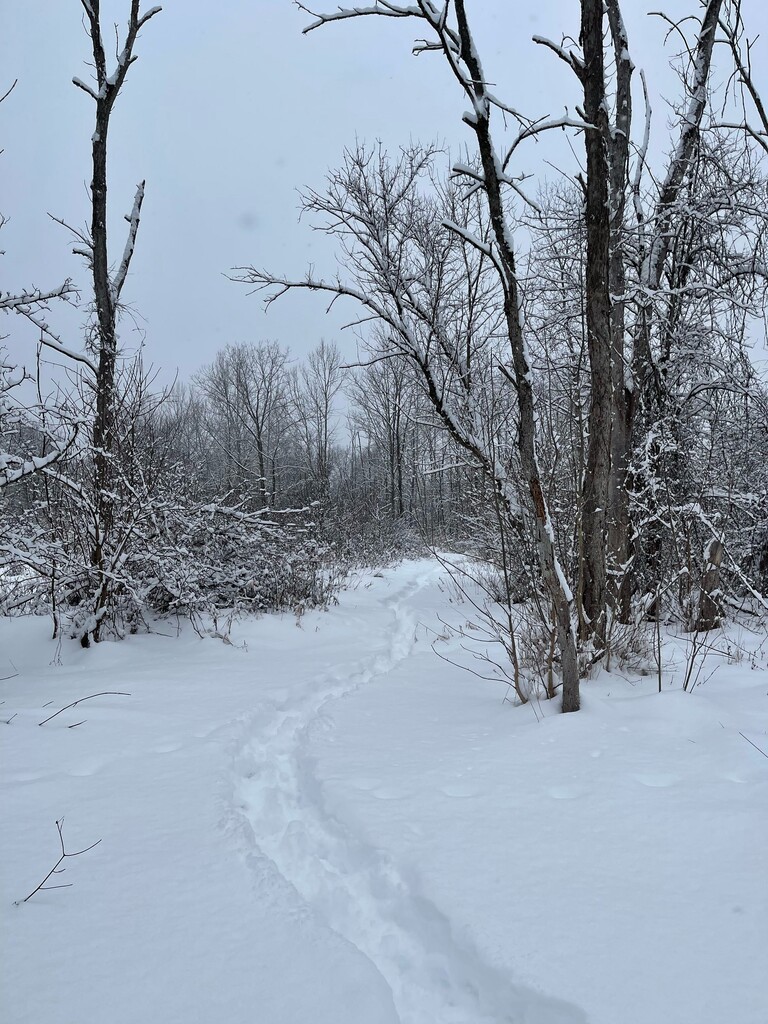
While you are on the Standford Trail, keep left at any trail deviations, and stay on that trail, it will spit you out at the Standford House - first you will see a 'shed' on the left and a barn straight ahead of you. you will go right around the barn and the Standford House will be on your right, barn on your left.. take the gravel drive way down to the road- Standford Road.
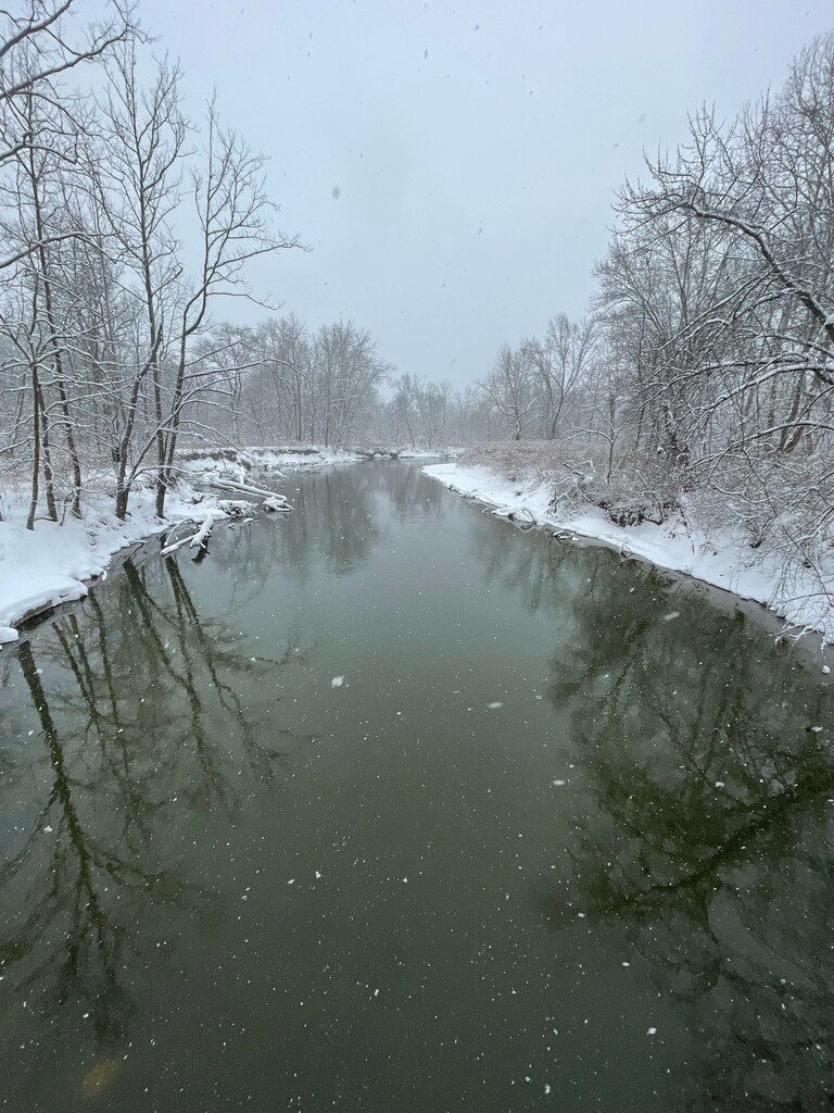
Cross the road and take the 'connector' to the towpath (Ohio & Erie Canal Towpath), turn left when you reach the paved towpath. Continue until you reach the road crossing at Boston Mills Road. Cross and turn right. continue across the bridge across the Cuyahoga River, and cross Riverview Road. Continue up the hill onto the Buckeye Trail.
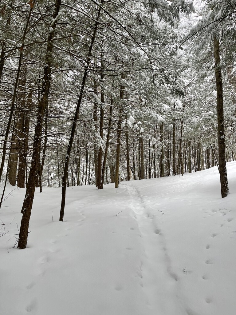
At the top of the hill, cross Boston Mills Road, keep following the Buckeye Trail. A steep down hill and cross a bridge, the trail makes a Y and take the right toward Blue Hen Falls, once you check out the falls, go back to that Y and keep on the Buckeye Trail, up hill toward Jaite.
There is a creek crossing sans bridge.
Cross Columbia Road and continue on the Buckeye Trail.
Once you get to Snowville Road, take the road. Turn right and walk to the Y on the road, take the left toward Jaite, on the road. Once you pass the two yellow houses on the left, there will be a sidewalk on the right side of the road. Take this side walk, thru the houses on Vaughn road, cross the railroad tracks, and continue to the right on Vaughn road. Cross the bridge Vaughn/West Highland Road. On the right, after the Cuyahoga River there is an entrance to the O&E Canal Towpath. (DO NOT USE THE SERVICE ROAD - first right 'trail', take the second trail on the right, that is the towpath.)
Once on the towpath, continue until you see a marker and sign for the Valley Bridal Trail. it will be on the left side. you will come to 'Latta Lane', no signs that I recall seeing, continue to the right once you are on this - see on map, continue around Averill Pond.
When you reach Standford Road (closed) take the road up and to the left. When you reach the Brandywine gorge trail again take the right, stay on the right trail if other trails connect. Continue, once you get back to the parking lot, to the bathroom area. El Fin.

Comments
Awesome ?
Hey that’s me ?
Should this be 1424 feet elevation not meters?
Yes it is 1,424 feet