Begin parking at Egbert Picnic Area.
Take all trails (non-paved) thru Bedford Reservation (south west).
Begin by going from parking lot toward map/swings/pavilions, the trail is in the back corner.
When you get into the woods, the trail has 3 directions - straight is the mountain bike trail, right is down to Tinker's creek, a creek crossing, and left is the direction you should go. This is marked as the Bridal trail, it is gravel or dirt. Less than 0.5 miles, the trail crosses the street (Gorge Parkway). On this trail, do not take the mountain bike trail, stay on the bridal trail portion. The trail will cross Gorge Pky again. You will see the mountain bike trail off to your right at first, then you will cross it. Careful!
The next street crossing is the 'driveway' to Lost meadows picnic area. the trail will then loop around close to the road, stay on the inside of that loop (there is a portion of the bridal trial that also exists on the other side of the road at this point, it is not part of this FKT). Continue down the hill toward Bridal veil falls (and back up). The trail will cross Gorge Parkway 1 more time, then cross Overlook Lane. The trail will pop out at Egbert road, careful crossing here! Continue down - do not take any of the mountain bike trails!
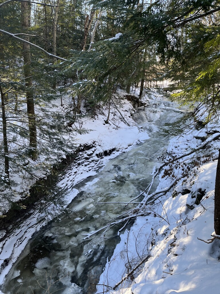
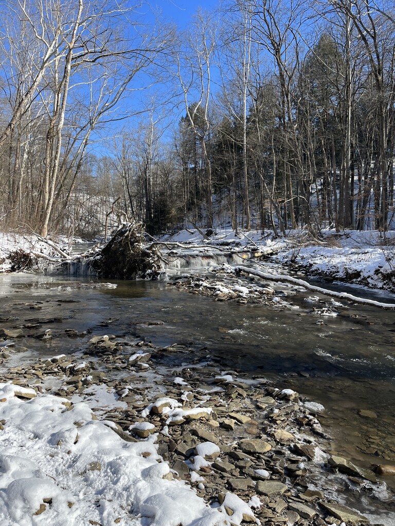
Cross Dunham road. Cross Alexander road. Once you come upon Alexander trail head parking, just keep going straight, it is a tad confusing here and it is where you will cross the paved hike and bike trail. DO NOT TAKE THE PAVED TRAIL, continue STRAIGHT THRU THE PARKING AREA (hug close to the picnic tables and keep moving due west (you will be perpendicular to the hike & bike trail). Once you pass the picnic tables in this area, you will see the continuation of the trail, it goes thru some trees then spits you out under the power lines. Continue on this trail and it goes down steeply to the creek. Continue on this side of the creek until 5+ miles, it will be a tad passed the creek crossing trail post. the turn around spot is where it drops down into the creek bed and a HUGE tree is down (sorry not too official). This creek crossing is less than a mile from Frazee House (which is along the Towpath).Once you are at the turn around point, go back to the paved hike & bike green-hashed trail at the Alexander Road Trail head. Follow the hike & bike trail back thru Bedford reservation! The paved path will lead you back up to the Egbert Parking area.
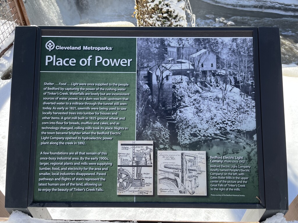
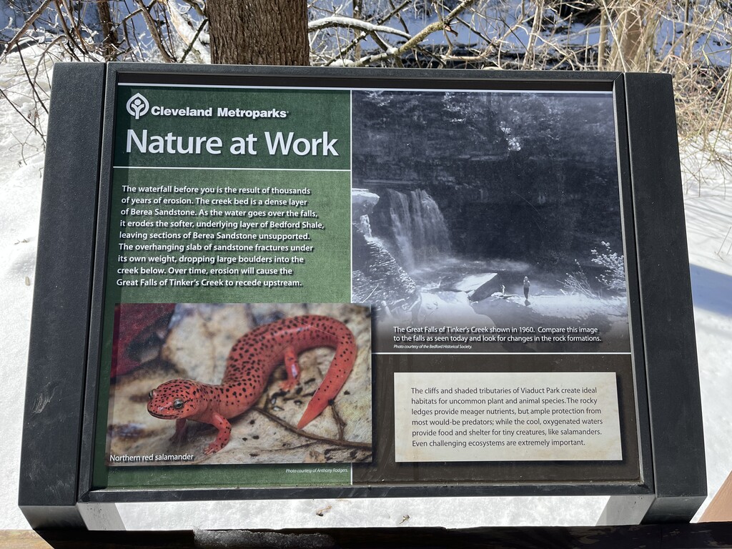
Once back, continue on the paved trail to the entrance of the park at the intersection of Egbert and Gorge Pky. Turn Left on Egbert and go up a bit, over the train bridge (you are VERY likely to see a train.) Continue down the hill. At the bottom of the hill, take a left on Union Street. follow Union street down to Taylor Road, take a left. Continue up Taylor street until the sharp right turn in the street, this is where Willis street begins. Viaduct Park will be left at this turn. Continue down into the park. We followed the path down closest to the waters edge as possible, took some photos of the falls and trekked back up to the overlook area, we followed this around and went up the brown-painted railing stairs and back to the trail.
Retrace path back up to the Egbert Picnic parking area. Fin.


Comments
I’m back in town visiting with my wife (she grew up here!), and am planning to add an unsupported male time this afternoon. Looks like a great route - I’ve noticed a lot from you guys in the area! Thanks for developing this! :)
You're welcome nava27, I've been trying to find/plan/contribute more routes within the Cleveland CVNP/Metroparks system, there is so much to offer, and not much on the FKT site, the official websites for the trails really don't give them justice. Check back for more local ones coming shortly! :)