The day before the run, it finally rained a good amount, after a bit of a dry spell. No dusty trails for this FKT attempt!
Mostly clear sky, low temp 72, high 88 air quality alerts last few days.
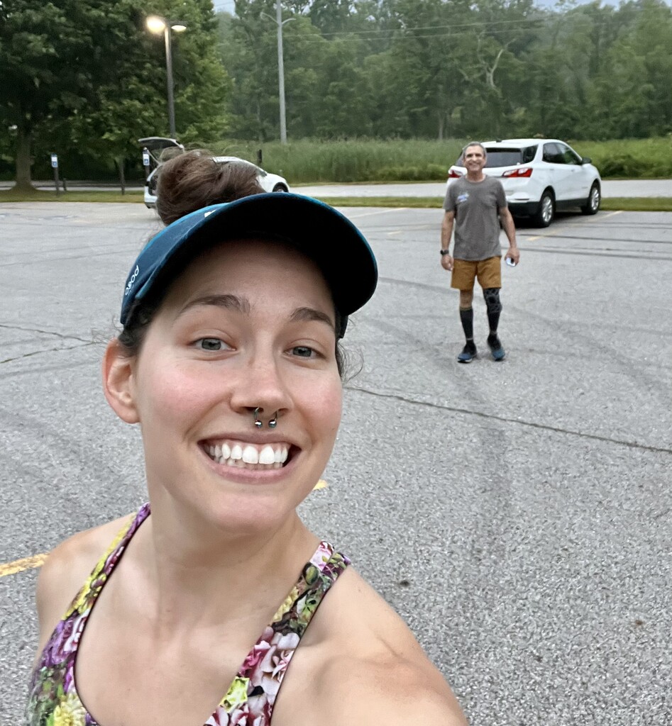
The run started cool, at ~6am at Botzum trailhead. Bathrooms available. A pair of blue herons saluted me with a fly over prior to my start. Quite the way to kick off my 4th of July weekend run!
The run from the Botzum Trailhead to lower O'Neil woods (Miles 0 - 1) This first mile is super crappy if there are cars on the road, seeing as you would be running on the berm, so starting early, I didn't have any cars to compete with, so I was running on the road, a friendly crow accompanied me for a little while.
Lower O'Neil Woods, (Miles 1 - 1.3), was a tad difficult to navigate when I first entered, as the sun was still popping out, but I was able to make due without a light. The ground was perfectly moist, only a few small mud puddles. Watch your step on the little stretch of wooden walkway, slippery when wet! (right after the red barn)
After crossing West Bath Road and heading up, toward O'Neil Woods parking area, (Miles 1.3 - 2.25), the trail was the usual dirt and roots, no mud. Restrooms by the parking area.
Getting onto the Buckeye Trail (signified by painted blue hashes on trees (BT)) to Ira Road (Miles 2.25 - 3.5), there is about a 0.1mile stretch when you first get on the BT, that is usually not trimmed, this morning, it was SOAKING WET and the grass decided to leave its seeds all over me. That was a nice way to start my BT run, good thing is was only a short stretch. The rest of this trail was lovely nothing overly technical or muddy. Perfect really. There is a creek crossing right before you pop out on Ira. Today I, and as per usual, was able to get over, no wet feet.
Ira Road to Lock 29 Peninsula (Towpath), (Miles 3.5 - 8.5). Personally, I despise running on the towpath, it is however, lovely for bikes and leisurely strolls. The trail is compacted, crushed limestone. You cross a few short bridges that are wooden and the last larger bridge before lock 29 is a great photo opportunity. This stretch was so pretty with the sun peeking through, and some fog still over the beaver marsh. The steps leading down to the Lock 29 parking lot are an annoyance after the monotony of the towpath, but I'm just splitting hairs now. The trail is generally well shaded, no matter the time of day. I did pass a handful of people (walking, photographers, biking) so just know that this route is usually heavily populated during peak hours). The closer I got to Peninsula the more people that I started to see. Szalay's parking lot was about 75% full and Lock 29 was nearing capacity. (Bathrooms at Ira road trailhead, Szalay's, and Lock 29, Water fountain at Szalay's & Lock 29).
Lock 29 Peninsula to Pine Lane Trailhead (Miles 8.5 - 9.3), This stretch you have to run on the sidewalk/road, through 'town' to get to the brick 'paved' trail up to pine lane trailhead. The bricks were SOOO slippery, which made running in any way, impossible. "they were slipperier than a corn cob on the fourth of July!" So, my suggestion to you, if it is wet, just use this time to rehydrate and fuel, and step on the random paved spots and steer clear of the bricks, if it is dry, do what you need to do! When the path opened up to the trailhead parking, this is when the heat and sun of the day really hit me, it was HOT! Phew! (hotter than expected)
Pine Lane Trailhead to Boston Store (Miles 9.3 - 13.2), Back to the BT again, THANK GOODNESS! This is where the single dirt track comes back with some added technicality of roots. There is a stretch before the trail crosses I-80 that it is lined with pines, it's like a game of hop scotch, I didn't mind, it was more welcome than the monotony of the tow path! Just watch out for 'ankle-breakers' which can happen more easily when wet!. The trail crosses Boston Mills Road twice, when you pop out on it the first time, you have to hop the guardrail and run the pavement over the I-80 overpass. The reentrance is marked on the opposite side of the road with the blue hash. This 0.5 stretch on the north side of Boston Mills Road is interesting, it begins with a narrow dirt path, with lots of growth on the sides of the trail, then there is a man made trail of dirt and wooden framing, with room between for drainage, WATCH YOUR FEET! (in the winter this part is scary with massive snow, you can't tell where the drainage 'canals' are and you can easily slip into one and 'fall' a foot lower than you were expecting)! Next the trail opens up to roots and mud, it's fun, then you have to cross again and head done to the Boston store. This downhill section was popular today with people training for Burning River, this section is narrow, so be mindful while bounding down! Once you pop out, the trail is open and gravel as you travel under the highway. The trail is paved for a little while and you have access to a bathroom and water fountains on either side of the river. There's even Mitchell's icecream in the if you really want! Yum!
Boston Store to Snowville Road (Miles 13.2 - 18.2) Up up and away! From here to station road bridge is the most fun and interesting part of the journey. This is where you find the ELEVATION as well as steps. Any steps on the trail going up, are fine, the ones you have to take coming down are a nightmare, usually too closely placed, and at varying heights, so just be careful descending any stairs. From Boston Store to Boston Mills Road is all uphill - this is where hill repeat training comes in handy! When you come out at the top, follow the wood chipped path along the road until the pedestrian crossing. It is a short trail that when it meets a gravel/paved 'road' you turn right toward a closed gate. Proceed down the hill toward blue hen falls. Careful on the downhill, you will want to bound down there with gravity, but the moss on the pavement can be slick even if it is dry. Cross a bridge, and take the first left (sorry you aren't going to see blue hen falls on this FKT route, unless you take a short detour!). Up again! This portion of trail is normal dirt, roots, and some spots of random gravel, cross Columbia Road and keep truckin'!
Snowville Road to Station Road Bridge (Miles 18.2 - 25.25) There are two trails from Snowville road to the main 'BT trail', make sure to take the ACTUAL BT which is the closest one to the exit point on the southern side of Snowville, the incorrect entrance is further west than the BT entrance. The BT trail starts with a wooden walk way, so if you don't immediately see that, you are on the wrong one. Even if you take the wrong entrance trail, both lead to another wooden walkway over a usually swampy area, say hello to the Goodyear tire to your left. Continue on the trail, watch the little mud puddles and dosey doe over the creek twice, there's never a reason to get your shoes wet here, the creek usually never that high/wide. Then UP!, there is a root headed up this steep hill that attacked and almost pulled off my shoe, so watch your step, or be prepared to fight for what is yours (like your shoe...) ! This trail section is just interesting, there are lots of trash piles that have been there for... a long time, random bricks along the trail, which are helpful (yet slippery when wet) when it is excessively muddy. Lots of elevation changing and a few creek crossings, one I had to get my shoes wet because t was deep and I didn't trust my shoes to grip the awkward stepping stones, so my feet took one for my future health of my ankles (broken, if I would have slipped off of a stone). One creek did have a plank across for crossing, win. Sometimes that plank gets washed downstream, so be on the look out if you are going out after a heavy rain, you may have to reset the plank. There are a few places on this section of the trail to accidentally take the wrong route, so you should try be familiar with this section prior to attempting. Where the trail pops out into the Ottawa Point pavilion area, there is a water fountain on the far end of the pavilion, bathrooms by the parking area. Running down the gravel 'driveway' can be a tad warm in the sun before the trail pops back onto the usual BT terrain a real trail. The BT then plays peekaboo with Cleveland Metro Parkway by the Brecksville stables and then again at Valley Parkway. This area can also be problematic if you are not familiar with the trails/this FKT route. ** current day trails are different than those noted in the originally uploaded FKT file** Hopping back on the salamander loop trail is a welcome sight, some nice dirt/rooty trails some mud and a nice down hill section to Riverview road. Hop the guardrail and head into Station Road Bridge area! There is a water fountain and bathrooms available there. Hopefully you don't arrive in time to catch the train, that could add some minutes to your attempt!
Station Road Bridge to Frazee (Miles 25.25 - 28) Ok ladies and gentlemen, reapply the sunscreen and put on your dessert hat, if it is a hot sunny day, this section may come to haunt you, perhaps I'm being over dramatic, seeing as it is ONLY ~3 miles, but this was my LEAST favorite part, aside from the fact that it is tow path... AGAIN (crushed, compressed limestone), and VERY populated, lots of people and bikes. Depending on the day, most tow path users WILL tell you that they are passing on the left, but be leery and say to the right. VERY minimum shade and it varies between stone and uneven pavement, ekk. This section seemed to be endless. Bathrooms available at Frazee. Crossing the street and running along Cana Road is not fun.
Frazee to Alexander Road Trailhead (Miles 28 - 30) Bathrooms available. Ok, a BIG issue I have with this version of this traverse FKT, is this SPECIFIC SECTION (the 0.6 road section between Canal Road, along Sagamore, ultimately connecting back to the BT) I would have preferred the use northern 'arm' of the Sagamore Creek Trail loop (SCTL). This entire road section could be avoided by either of the following: #1 the northern 'arm' of the SCTL starts off the side of Frazze house, to which requires two 'wet your shoes & socks' creek crossings, OR #2 you can start on the same aforementioned trail and cross the creek (wet shoes & socks) and stay on the southern 'arm' of the SCTL and connect to the same BT trail as noted in this version. RUNNING ON THIS PORTION OF SAGAMORE ROAD IS VERY DANGEROUS!!! Cars speed through here, there isn't a shoulder, you are barely able to step off the road, you can barely hear a car coming. The only reason I can hypothesize as to why the originator of this FKT took this route verses perfectly wonderful trail was to avoiding getting his shoes wet and to perhaps get better timing (road miles being faster than trail)??? Personally, I would rather enjoy nature, enjoy the TRAIL on a TRAIL run (less pavement, where possible), and worry less about a car flattening me as it speeds around a corner, but.. that's just my opinion, and it is what it is. Once you are on the BT part of this section, it has some fun some technical parts, you get to see Linda Trickle .. I mean Linda Falls, and this section, being at the top of a hill, usually sees a nice cool breeze and lots shade. Watch your footing on the rocks, and pop out on the Hike and Bike trail, which is paved.. ekk, but you are only on it (cross Alexander Road and back onto the BT) for 0.2 miles.
Alexander Road Trailhead to Dunham Road crossing (Miles 30 - 30.3) This is such a short but sweet section, I often see lots of deer just chilling here, nice soft pine needle trail, the potential for one giant mud hole, but usually some good wild life, careful crossing Dunham, it's usually pretty busy.
Dunham Road crossing to Egbert Road crossing (Miles 30.3 - 30.6) This is another fun stretch, starts with pine 'forest' then across a tiny hill/'meadow' usually with tall grass *tick alert* (and HOT), then into an uphill section that crosses a mountain bike trail, twice. So, be alert for fast downhill bikes!
Dunham Road crossing to END (Miles 30.3 - 35.5) The rest of the route is Bedford Reservation.. mostly 'double wide' gravel trail, that is pretty popular, so watch for areas of shared usage (with bikes) and dogs off leash, you should worn people that you are running up from behind them. You can get a glimpse of Bridal Veil Falls, take care as to not run over small children that tend to wander aimlessly around the trail in that area... right at a down hill! So in general, this trail has some good ups and downs, nothing really technical, there is a section that you leave the bridal trail and it is BT, single track, this short piece of the trail does cross the bike trail twice, so be aware of that. Right when you are close enough to the end to start thinking about what you will dig into first on your post-ultra trek buffet, before you pop out behind the Egbert picnic area, there is one downhill and pretty steep (but short) uphill. This uphill is the 'cherry on top', which makes you question 'why did I do this again?' your legs will thank you tomorrow! Make sure you take the correct trails at the end, it is not obvious where you should be going, so do your homework!
Hindsight: I was planning a 5am start, but was convinced to start at 6 instead, I was just early enough that I didn't need any light on the trail. The heat snuck in and was hotter than anticipated, for this reason, I wish I did start sooner, and had to use lights on the trail, the heat on the tow path hits you like a ton of bricks on that Station road bridge to Frazee house segment. If I possible, I would wish the towpath and the Sagamore Road parts out of this FKT route.
Unless otherwise mentioned the trail was well-shaded and within a wooded area.
There were a few small spots where the trails were changed since the original route was recorded - mostly along Valley Parkway in the Brecksville reservation as well as the towpath directly after the station road bridge.
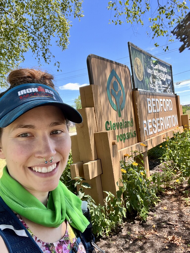
Many thanks to V.S. for being an A+ Crew. I would be open for helping anyone interested in taking this route, feel free to reach out.
Comments
BTA trustee here. The reason for Sagamore rd being on the fkt route is that it IS the Buckeye Trail so saying you rejoin the Buckeye Trail is incorrect. You are on the BT the entire way (or should be since that was the original intent) Blazing is not permitted on the towpath in the CVNP but it’s still the BT. The reason for the road portion is because the trail gets subjected to flooding and is difficult to maintain. It’s not desirable and we’ve been scratching our heads for a better solution.
BT maps are available at buckeyetrail.org