This is one of those trails that's like a video arcade game -- it keeps getting tougher and tougher until it finally beats you.
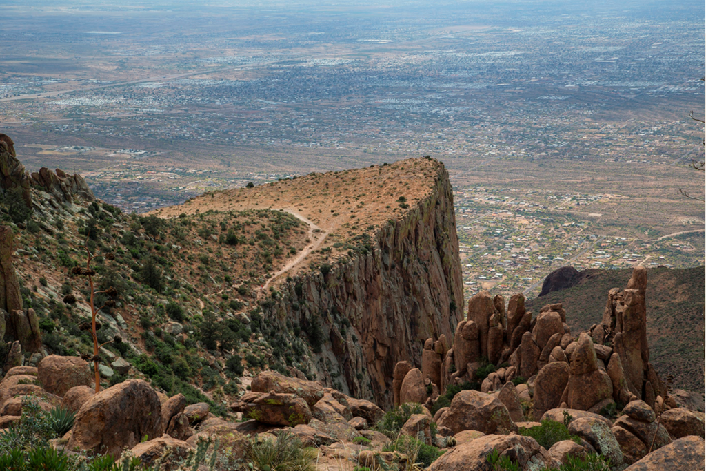
It's only 2.5 miles from the trailhead to Flatiron, one of those cruelly majestic sentinels of the Superstition Mountains.
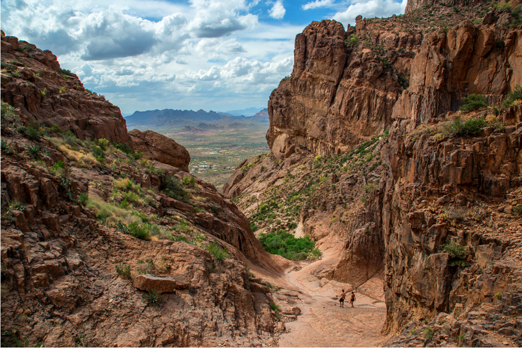
The problem is, the last .9 mile climbs 1,700 feet through rock and cactuses from an area called The Basin, which is a meniscus-buster hike in itself.
This final accent has the withering grade of a climb from a front-range high lake to the Continental Divide. Here, though, the rocks are more jagged, the snakes more venomous and the vegetation more potentially flesh-ripping. Now factor in the broiling Valley sun and, well, this ain't no stroll through the park.
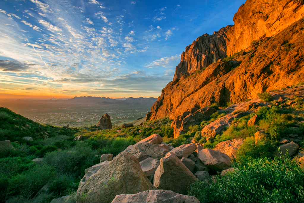
That said, it's a spectacular hike, both as you climb into the towering cragginess and as you descend (oh so carefully) with a panoramic view of the East Valley.
Park rangers advise that only experienced hikers who are in good condition attempt the five-hour Flatiron hike. If you're going to try it, make sure you bring two liters of water, be careful where you place your hands, and -- most important -- watch your step.
Brady Thomason reports having done the route in 2h3m car-to-car, but has given no details.
There is a Strava segment for the out & back, with some fast times recorded. Note that Strava can be off by many seconds, so it's best to report your actual car-to-car time (as read from your watch) here.
Note: The usual Flatiron hike does not go to the true summit, which is Superstition Peak at 5024', about 400' higher. We include a variation to the true summit (car-to-car). This is described here: https://hikearizona.com/decoder.php?ZTN=1615
Comments
On strava I see 1h11m time up and down: https://www.strava.com/segments/11803813
Did it yesterday in 69min. Submitted for review.
https://strava.app.link/Nf2UUBg9Wvb
Ok, did the official car to car route in 1hr 11min.
https://strava.app.link/Ofq75hdv1vb
Oops, actually looks like 1hr 25min! Will still upload the file from my watch for review. Thanks.