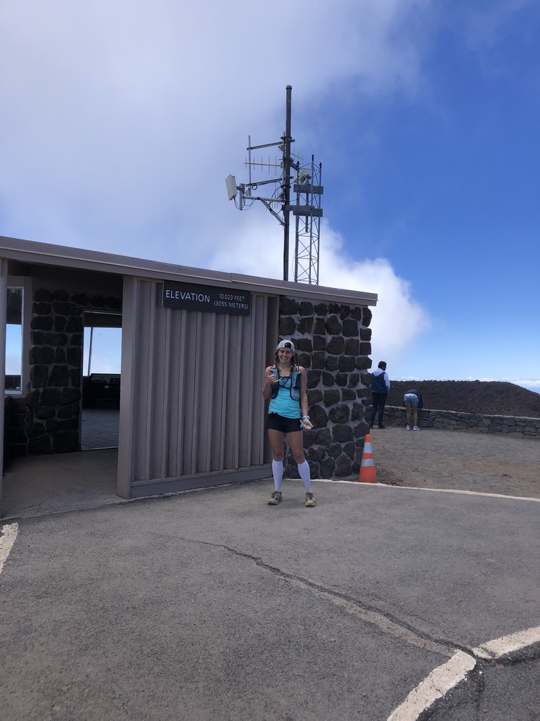


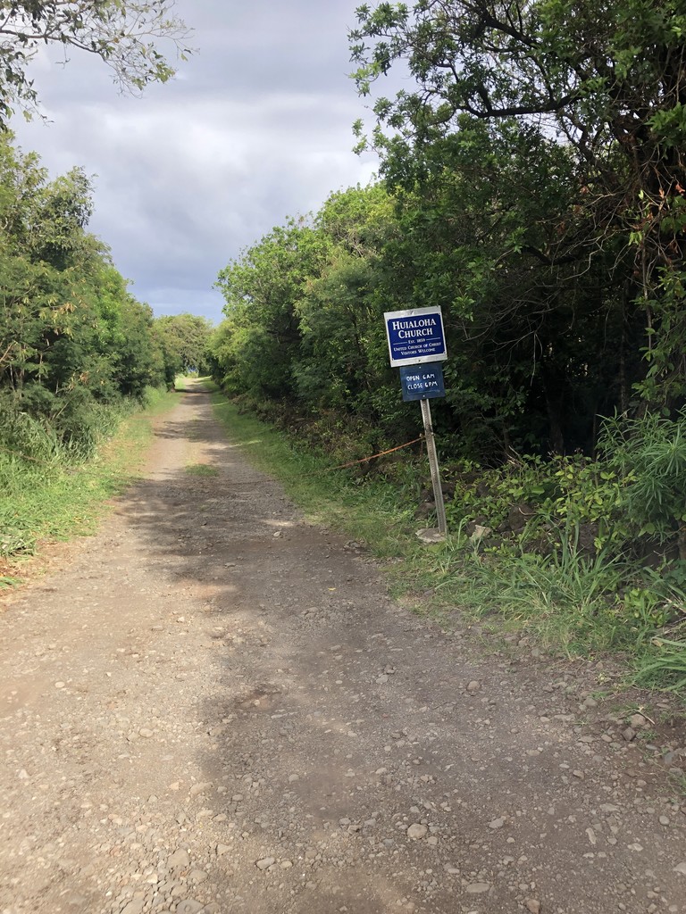
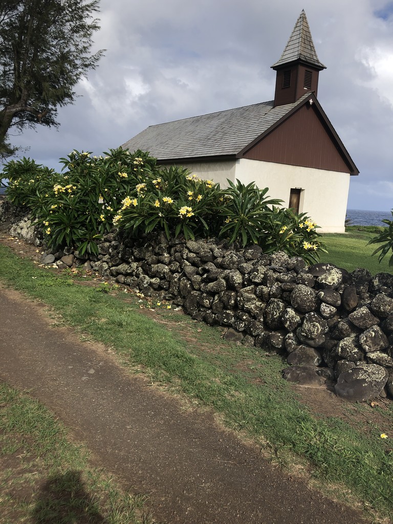
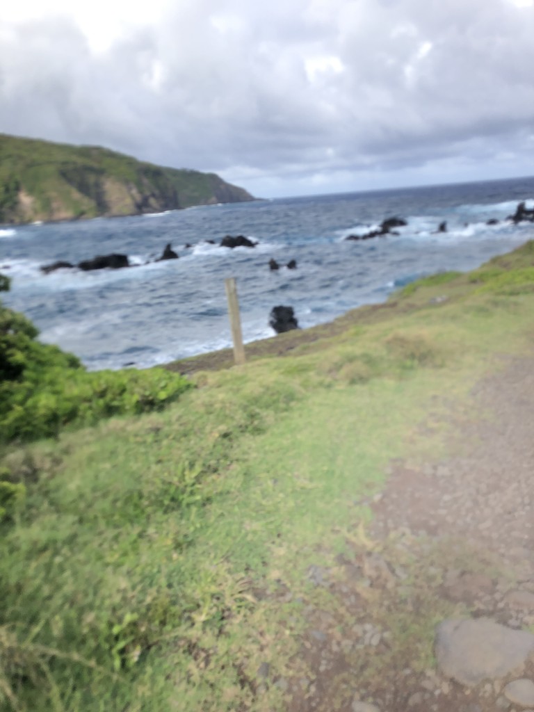
Round trip from Huialoha Church shoreline in Kaupo to the summit of Haleakala via the Kaupo Trail and Sliding sands and back unsupported.
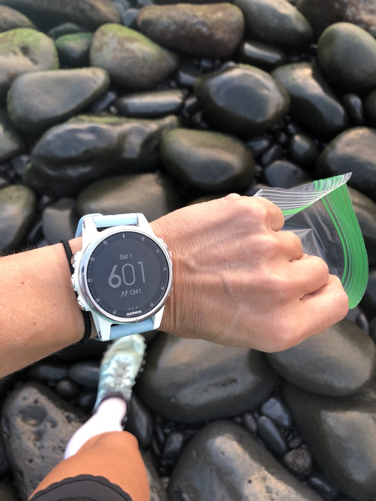
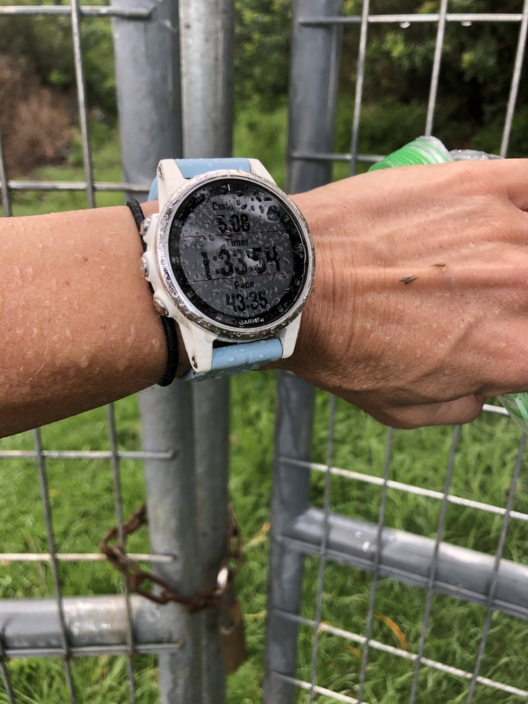
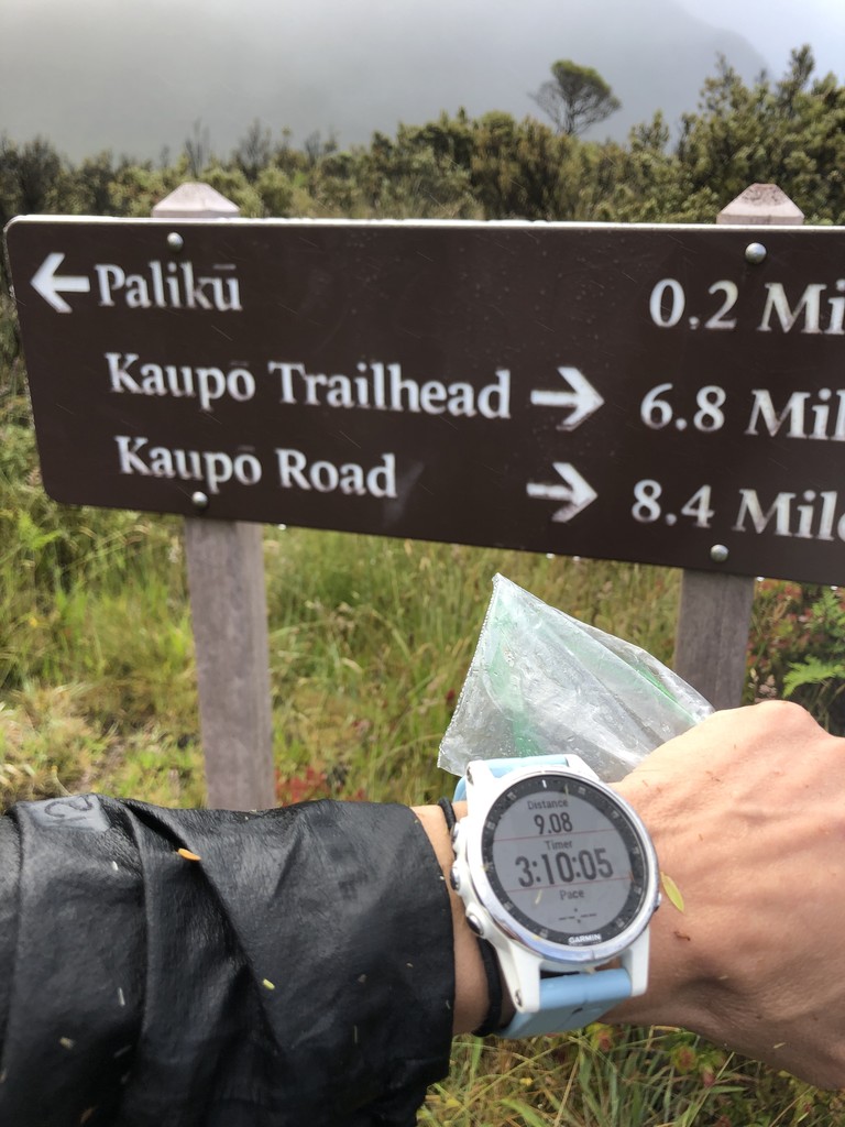
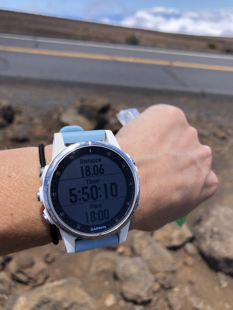
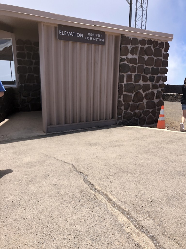
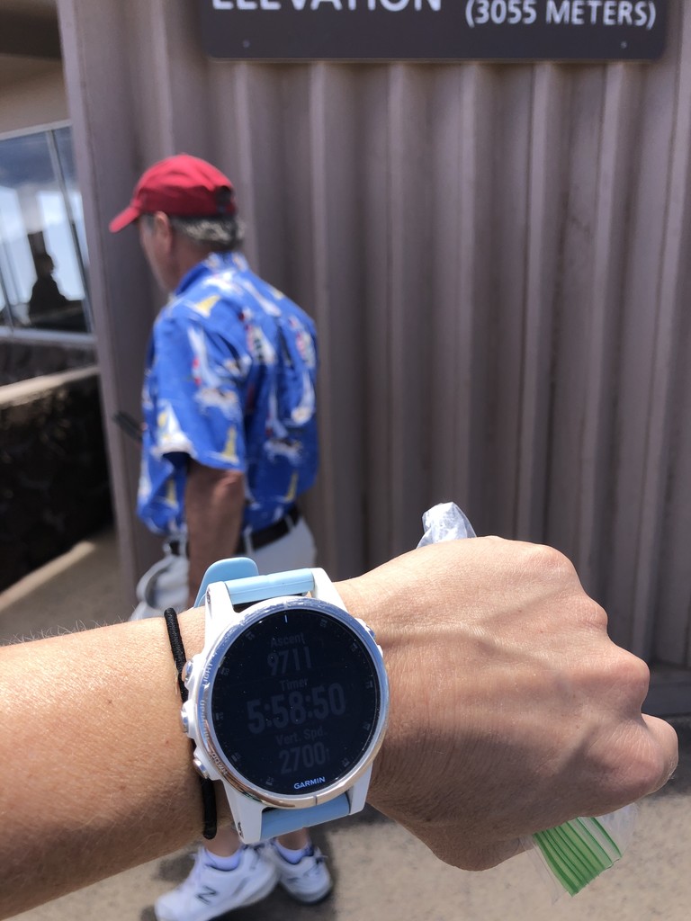
On June 1, 2019 I ran Haleakala Sea to Sky route, solo and unsupported, roundtrip. My ascent time of 5:58:50 improved upon Marcy Beard's current female unsupported ascent of 7:17:11. I did not have any crew at the summit or anywhere along the route to provide support of any kind. I descended via the same route and completed the roundtrip Sea to Sky to Sea in 10:23:42 unsupported, which is the first unsupported roundtrip run of this route on the site by a man or women.
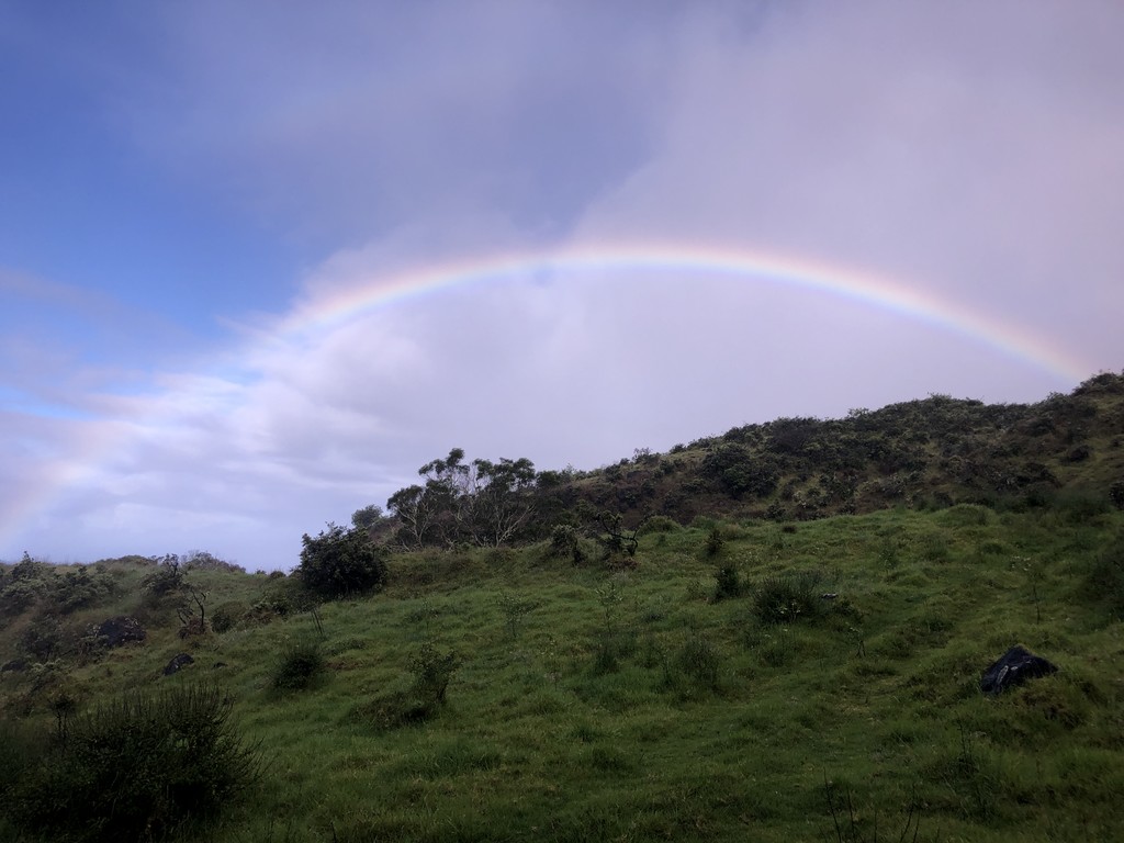
What a day! It definitely wasn't easy and I had a lot of challenges that I am so happy to have handled on my own. This was my first FKT and my first big solo adventure. I look forward to sharing all the details in a trip report soon. Thanks so much to Marcy for putting this on the board for the ladies and for the supportive words she offered before my attempt.
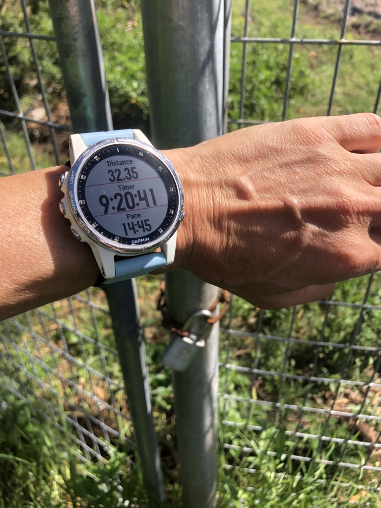
*** Notes on my tracking problems. Advice please!! My Garmin watch battery died on the decent - approximately 4 miles from the finish. As soon as I realized the watch had died I began taking time stamped photos at every landmark to verify that I was there. Upon finishing I found that the garmin in-reach tracker didn't capture my last position. This is possibly because I turned it off immediately upon arriving at the water so that I could use that time as a finish time. I do have timestamped photos coming down to the church and the shore that can be used as the finish time. This is my first time using the inreach for verification like this (and my first time using the new watch) and clearly I need to improve my knowledge and ability to use it properly. I do have a witness (my ride!!) who was waiting for me at the church parking lot and also a text that I sent from the ranch gate saying that I was 2.5 miles away from the finish.
Comments
Way to go Kathleen! I love all the photos, many good memories. Also memories of how challenging that was. Well done.
Re: the InReach, I use Preset messages at the start and end (and any turnaround or top-of-the-mountain spots) as additional verification and to ensure the track goes the entire distance. You can pre-program 3 messages for this purpose, e.g. "Starting here", "Finishing here", and "I'm OK", and they are free to send as many as you want. Just a suggestion!
Thank you so much Marcy! That is a great suggestion for the InReach. I look forward to testing it out soon!
Badass!! Did you carry all of your water from start to finish? If not where did you find naturally occurring water up there to replenish without using manmade water supplies? Congrats again cheers!!
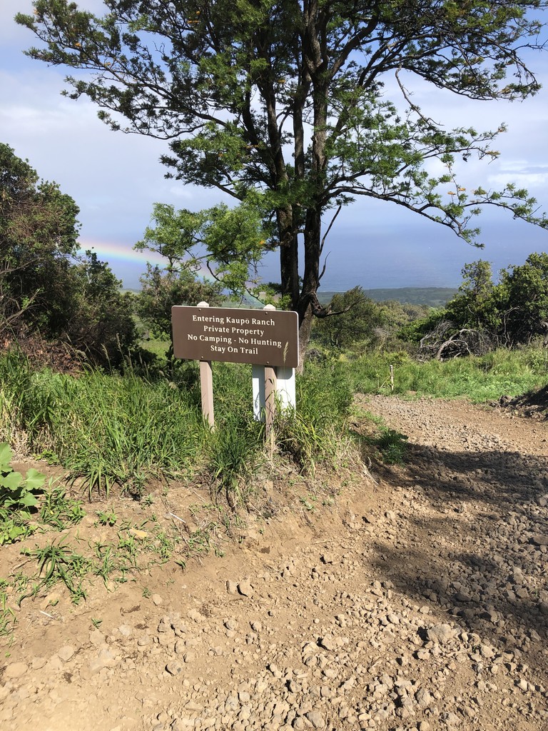
Aloha trailbum37! I will get around to posting a more descriptive trip report but water definitely proved to be an issue for me and definitely requires thoughtful planning. I used the guideline that for an attempt to be considered unsupported you must only access water that is openly available to anyone who would want to duplicate the effort. There are a number of rain catchment barrels throughout the National Park that contain non-potable water. I utilized one of the rain catchments along the route to filter and refill water once on the ascent and once on the descent (Kapalama Cabin). I did not enter any structure along the route. I did not go to the visitor center at the summit to access potable water. I didn't leave the most direct trail route to access aditional water sources so I could carry less. I did research the recent rainfall to make an informed decision if the water would be in the catchment. I did have a massive malfunctioning of my water filter on the very first attempt at filtering which ultimately added a lot of time and hassel to the day, however I was able to work around this on my own without any assistance or guidance from anyone and still managed to successfully filter my water.
I know there is a lot of controversy around water sources in unsupported routes and I wanted to be as 'pure' as possible on this route. I was well aware of my options (to enter cabins, to go to the visitor center, to utilized an extra water source off the direct route) however I very intentionally drew a line at what I thought would constitute an unsupported vs. self supported attempt. I also read all of the trip reports available from previous attempts to ensure I was being more self-sufficient than the 'self-supported' attempt. All of these options were part of my 'plan b' should the day not go well, however had I utilized them I would have called this a self-supported attempt.
nice work! way to go :-)