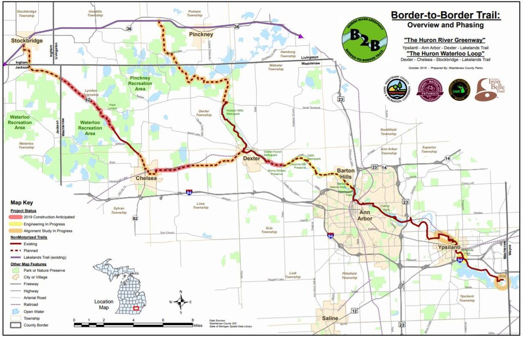
Location
Michigan,
US
Distance
43 mi
Vertical Gain
1,433 ft
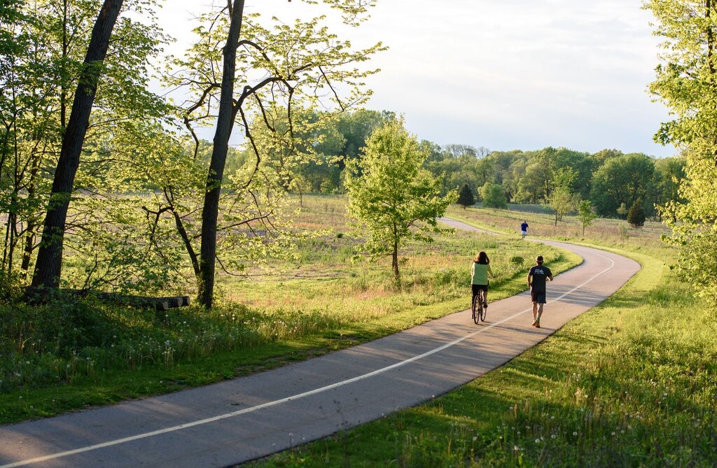
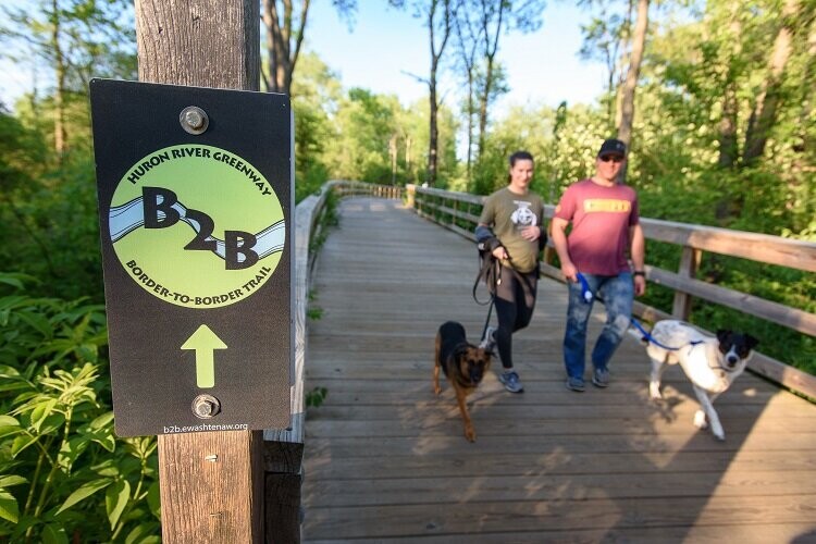
Description
GPS Track
route4382722249.gpx77.81 KB
FKTs
Male
| Nick Insley | 6h 57m 59s | ||||
| David Shinabarger | 19h 54m 18s |
| Anthony Russel | 7h 2m 36s |
Images


Comments
Awesome job!!
Attempting route West-East tomorrow morning
finished around 7 hours. going to send for verification tomorrow
Awesome, congratulations!!
I attempted to establish an unsupported FKT for this route this morning and finished in 7:02. I will be sending in verification tomorrow.