Location
Washington,
US
Distance
198 km
Vertical Gain
736 m
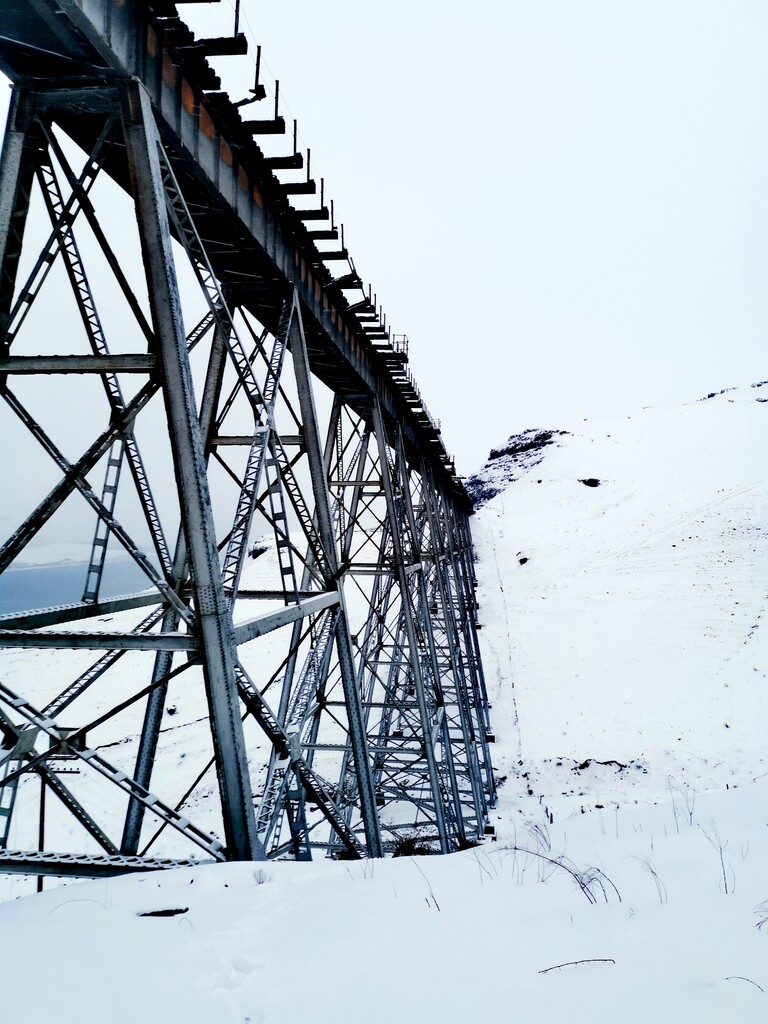
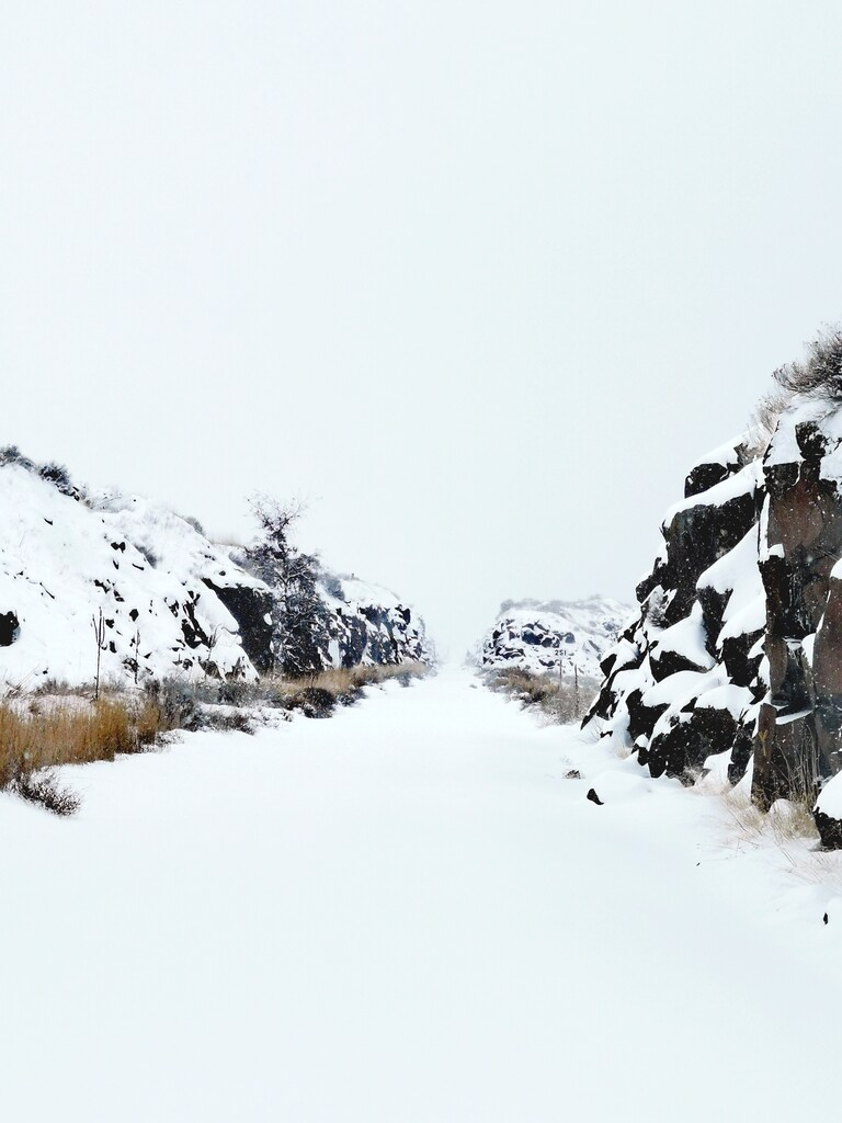
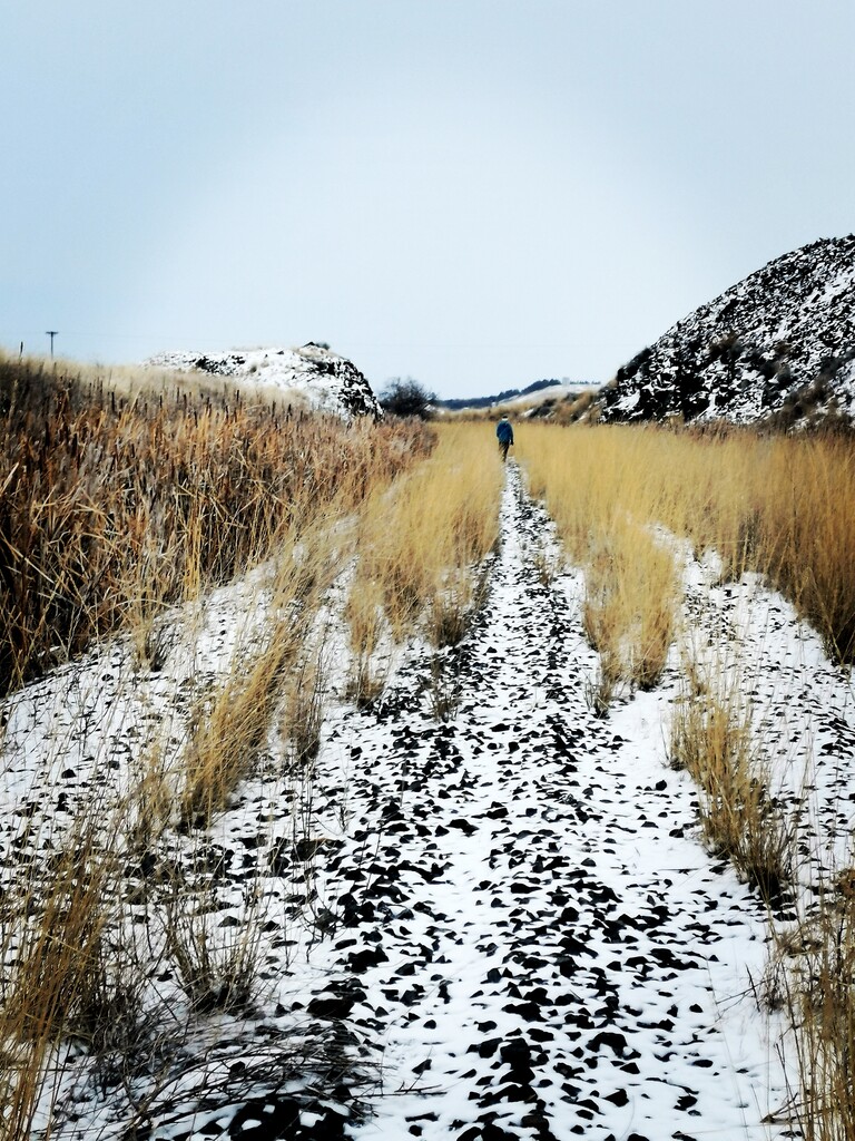
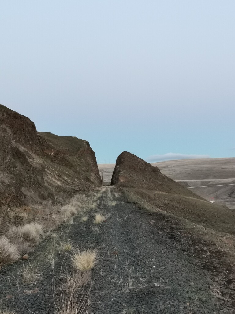
Description
GPS Track
shared-route_3.gpx62.17 KB
FKTs
Male
Mixed-gender team
| Chad Allen | 1d 14h 24m 21s |
| Matthew Shepard | 1d 16h 48m 1s |
| Megan Lacey, Christof Teuscher | 1d 16h 32m 13s |
Images
Comments
Great job. This trail caught my eye last summer as a real stretch goal, and some of the online descriptions made it seem possibly impassable (the missing bridges). Nice effort, and cool that you established this route.
Going for a self-supported attempt on Dec 30, 2021. Info and tracking at https://www.christofteuscher.com/aagaa/news-1st-self-supported-123mi-columbia-plateau-trail-fkt-attempt. Conditions look quite terrible, ughs...
I will be going for a supported attempt on 5-11-2023. Thanks, Mathew Shepard, for establishing this route! I've never run in this part of the State so I'm looking forward to seeing the area. Thanks Christof and Megan for all the pics and Relive video, super fun to see what's in store. I'll be starting at the Ice Harbor Dam trailhead around 4-5am. I'll be tracking with my Garmin fenix 6 and an inreach mini. Here's a link to the mapshare page for those who'd like to follow along! https://share.garmin.com/CDDGH
Gonna give this fkt a try. Starting tomorrow evening 10/23/25. Unsupported (planning to filter water along the way, longest dry stretch likely 33-50miles). Weather should be ideal for the first 24 hours 35F-60F. Rainy and windy the next 12-24hrs but not too cold. I'll post to my strava regardless. Chad Allen tri-cties wa