This is a north-south crossing; an east-west crossing of Oklahoma is the Related Route on this page (Point-Point routes can be done in either direction).
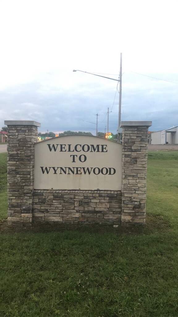
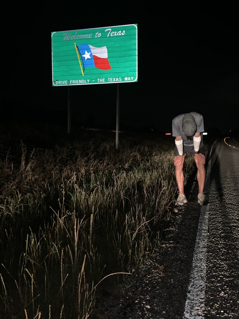
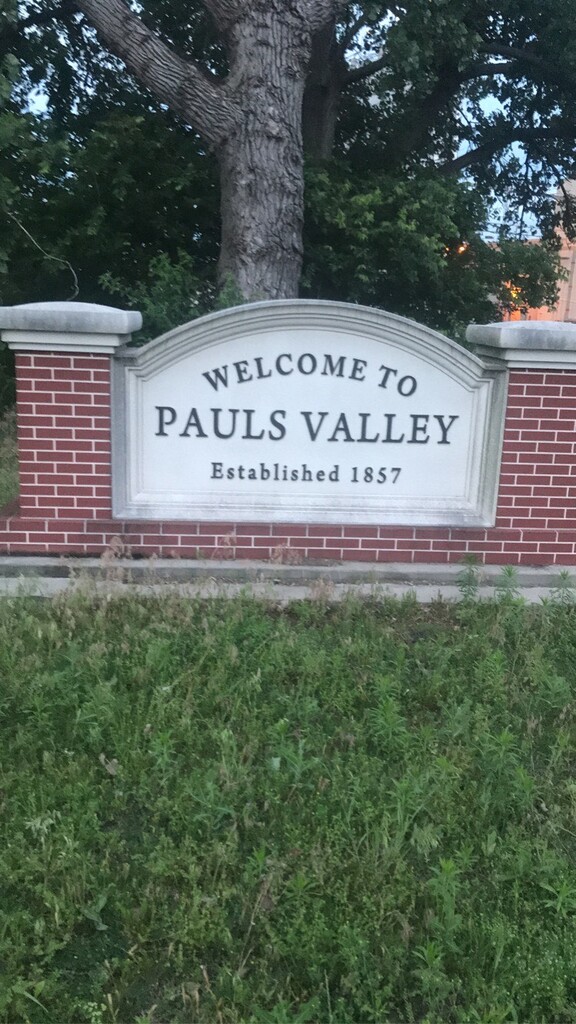
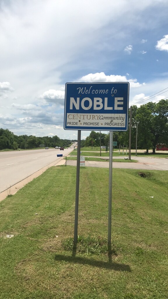
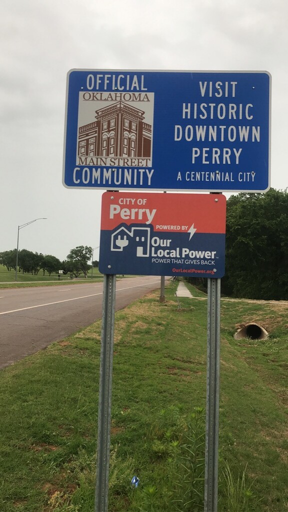
I started at the border of Oklahoma and Kansas at SH-177 and county road. I traveled along highway 177 through Bramen, Blackwell and Tonkawa. Once I made it through Tonkawa, I went south on HWY 77. I took a right on fountain road to hit an aid station, and then continued south on 44th street/N3180. I hit an aid station on Acre, then found my way back traveling south on 25th street. I traveled on 25th street into Perry. I took and left and traveled east on fir street to hit aid. Once in Perry, I turned back right to head south on 15th street. I made a left turn on frontier road and made my way over to HWY 86. I traveled south on HWY 86 until I came across HWY 51, where I began to travel back west. I made my way back across the interstate and began to run south on HWY 77 towards Guthrie. I traveled S on 77 through Mulhall and Guthrie. Once I made it to HWY 33 in Guthrie, I traveled back east, to then take a right on Pine street to head back south. I traveled on Pine which turns into Air Depot when entering Oklahoma County. I turned right on 2nd street and went west once arriving into Edmond. I traveled south along the I-35 frontage road, until making a right and running west on memorial road. I then turned left on Coltrane, to then turn left and travel back west on 122nd street. I crossed back over the interstate, to then take a right on sooner road. When traveling south on sooner, this road eventually becomes HWY 77. I then continued south on HWY 77 for the remainder of my journey, navigating through towns to hit aid stations (gas stations).
- Submitted by James Strahorn
Comments
So what is the FKT for this? Has one been set?
Closest thing that I could find. Looks to be completed somewhere around 4 days.
https://www.oklahoman.com/story/sports/columns/2020/05/30/edmond-north-…