Location
Germany
Distance
7.14 km
Vertical Gain
625 m
Description
GPS Track
activity_11878003208.gpx1.88 MB
FKTs
Female
Male
| Carina Mackinger | 1h 6m 4s | ||||
| Carina Mackinger | 1h 8m 39s |
| Florian Potschka | 1h 14m 2s | ||||
| Florian Potschka | 1h 20m 20s |
Images
Comments
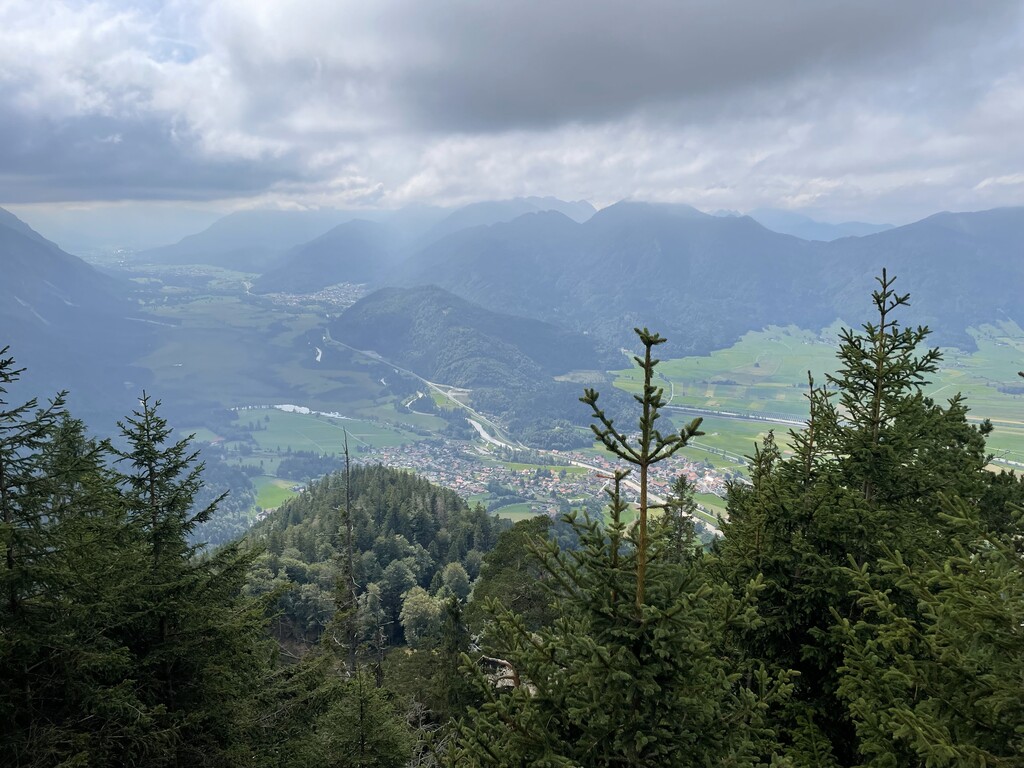
Unsupported run on August 26, 2023 from the parking lot to the summit (1:20:20h, 7.14km, 625m vertical gain). On the uphill, I deviated from the standard hiking route and took the very steep shortcut to get some workload into my legs. :) Because of the roots, the trail is not very runnable in large parts, so in the end it's a lot of power hiking.
Die Strecke gibt's auch als Strava Segment. Dort hat Tobias Fritz 50min32sek hingelegt.