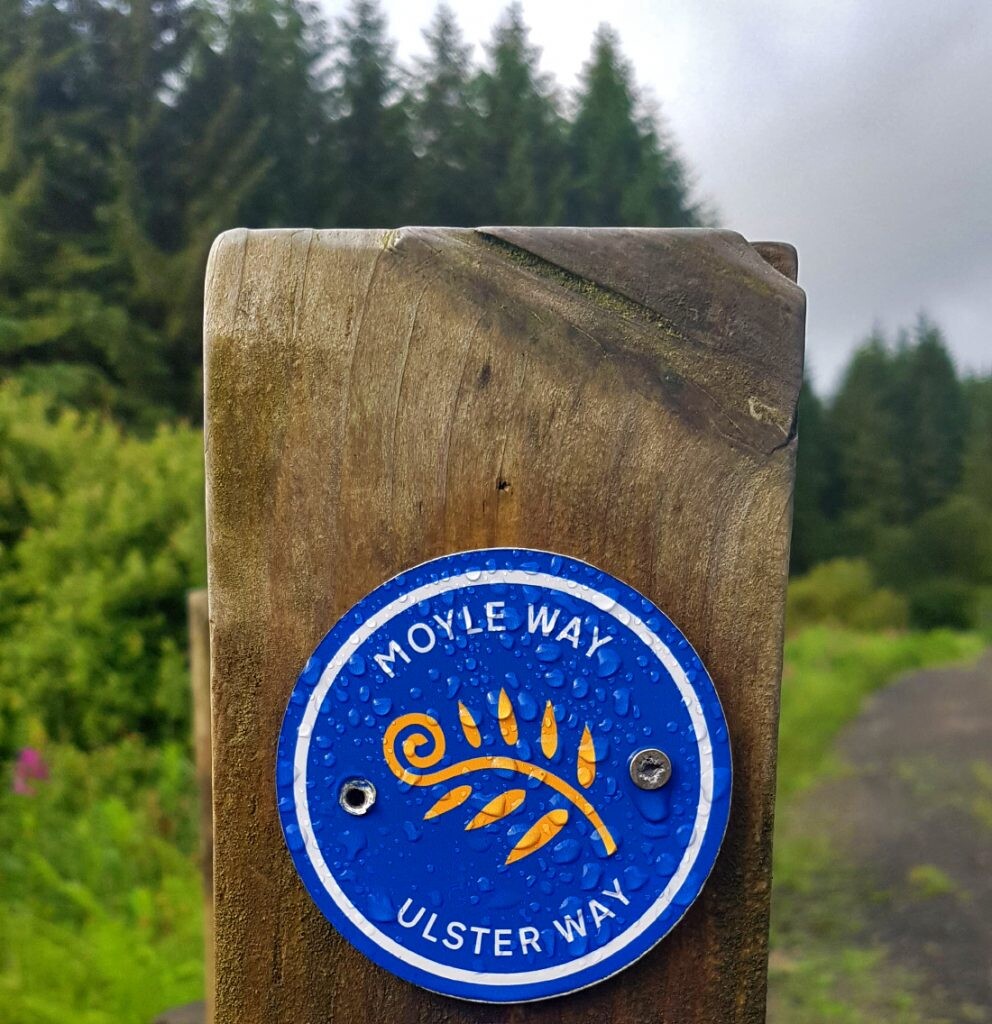
The Moyle Way is a challenging route that explores the northern-most Glens of Antrim. Following a mixture of forest tracks and remote upland moor, the route includes a visit to the slopes of Trostan, Antrim’s highest summit at 550m. The mountain sections can be wet and rough underfoot, and full navigation skills are required in bad weather.
The Moyle Way starts in Ballycastle, heads around the forested slopes of Knocklayd and follows the River Glenshesk upstream. An ascent of Slieveanorra (508m) is followed by the boggy shoulder of Trostan. The route passes through Glenariff Forest Park with a visitor centre, cafe, a shop and a number of waymarked walks. The finish is in the small village of Waterfoot. It connects with the Causeway Coast Way Path at Ballycastle
Comments
I will attempt this next summer