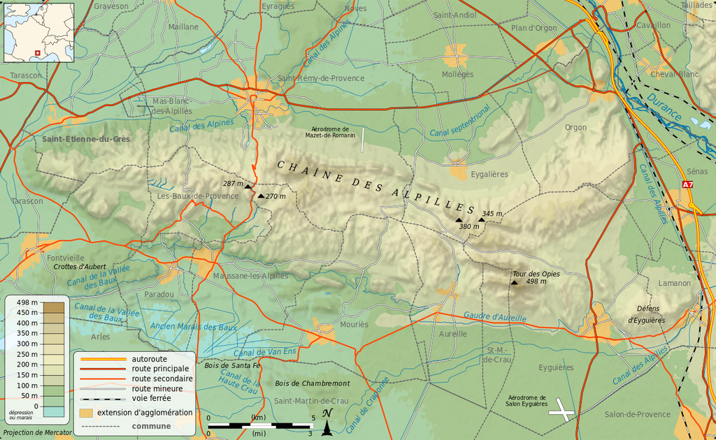
Route: Alpilles traverse (France)

Submitted by math67b on Tue, 03/23/2021 - 09:33am
Location
France
Distance
48 km
Vertical Gain
1,900 m
Description

Complete crossing of the Alpilles chain, from east to west.


The “Chaîne des Alpilles” is a range of mountains in Provence, southern France, located about 20 km (12 mi) south of Avignon. The range is an extension of the much larger Luberon range. Although it is not high - some 498 m (1,634 ft) at its highest point - the Alpilles range stands out impressively, as it rises abruptly from the Rhône valley and from the very flat alluvial plain of Crau. The range is about 50 km long by about 8 to 10 km wide, running in an east-west direction between the Rhône and Durance rivers. The landscape of the Alpilles is one of arid limestone peaks separated by dry valleys.


The start of this fkt is at the village church of “Lamanon”.

He takes the direction of the village of “Eyguières” across the mountain.

It then passes through the ruined castle of "Roquemartine".

Just after the castle, the path crosses the road D569.

Then it goes up to the highest peak of the Alpilles: "tour des opies".

Then it goes down to D25A road.

It crosses the D25 road, then follow the mountain range

It crosses the D24 road at "Pont Romain", then continues west towards the "Vallongue" pass, from which it takes the GR6.

It then passes very close to the "come" tower before passing in front of the famous rock of the two holes.

It then crosses the D5 road at the "Come" car park.

It then passes the "Tour de guet des Baux", then crosses the D27 road just above the village of "Baux de Provence".

It then continues west, and finish at the "chapel of Saint-Gabriel de Tarascon"

GPS Track
Images

Comments

Le 24/03 départ 8h30 de Lamanon ! pour la traversée en mode féminin :-) ! J'espère un premier record a inscrire pour ce beau parcours.