TL;DR - Fantastic and fatiguing day of hiking, requiring approximately 5 miles of difficult bushwhacking on very steep slopes and very slow progression, as there is no trail connecting the 4 high peaks. The peaks included Guadalupe Peak (8717 ft), Shumard Peak (8599 ft), Bartlett Peak (8497 ft), and Bush Mountain (8615 ft). Despite the inevitable fatigue I was feeling, I snagged Hunter Peak on the way out (8258 ft). The weather was quite chilly, super windy, and toward the end, very wet. I finished at Pine Springs trailhead, knees trembling and sopping wet in 48 degrees... and ecstatic at this accomplishment!
GEAR: Gossamer Gear Mariposa 60. Arc'teryx shell. Old mid layer. Fleece vest. Light base layer. Mid layer leggings. Old wind/rain pants. Tall waterproof gaiters. Trail runners. Hiking poles. Fleece gloves. Buff. Warm headband. Wet wipes. (Gear I had but didn't use: Light puffy. Light waterproof mittens. Headlamp. InReach. FA kit.)
WATER: 1.5 liters in water bladder. 1 liter in water bottle. FOOD: Bars. Half PB sandwich. M&Ms.
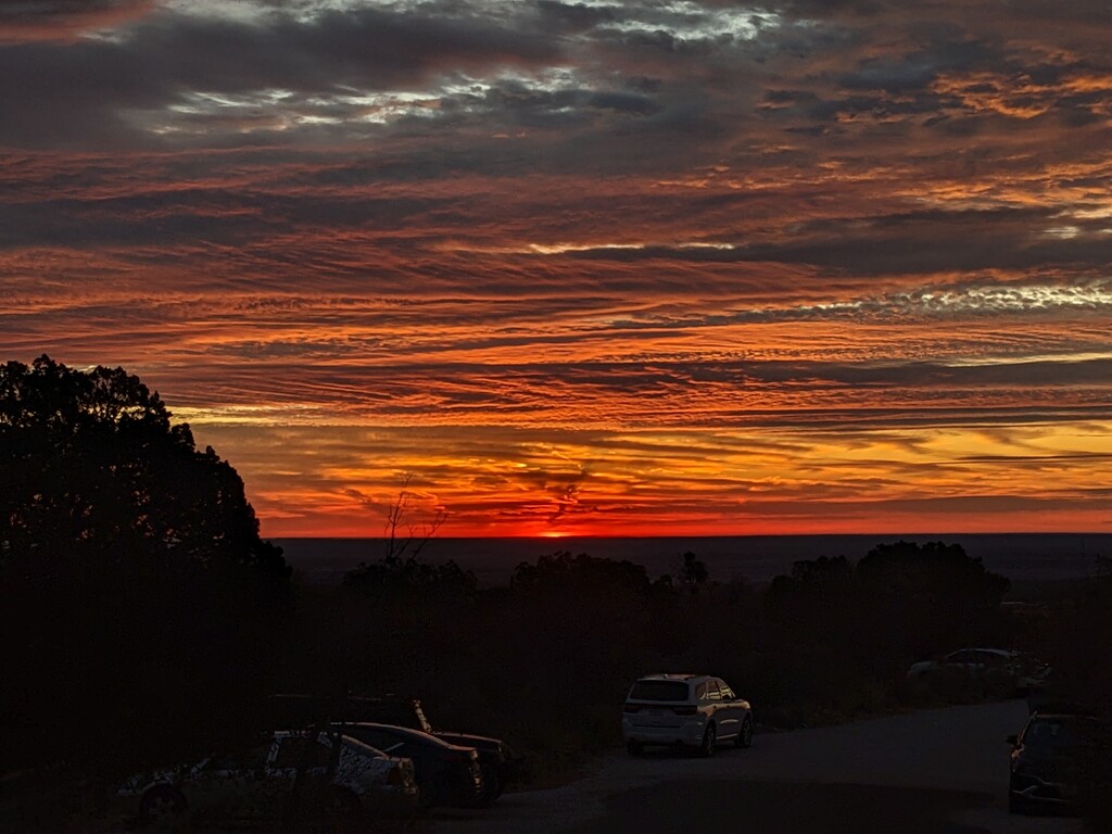
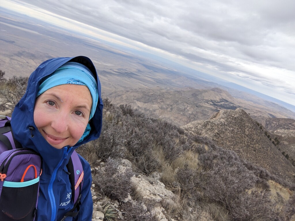
I woke up before the sun. Having spent an hour the night before getting my things in order, I only had to make my coffee and oatmeal, and change into my hiking gear. I suspect I completed this challenge with a different amount of gear than most others I see on here. It was very chilly and VERY windy. There was a high wind warning for GMNP; up to 90mph gusts I had read. I hoped not. I had a significant amount of concern around this. Just keep getting ready, I thought. I'll go up to Guad Peak and reassess the weather.
Once I got started, I was excited. I had 4 miles to the top of Guadalupe Peak, I had done it before and knew I could make excellent time on it. I passed several others who I had seen getting ready in the Pine Springs Campground earlier. One was a young man who said this was his second hike ever! I told him how impressed I was. We were maybe a mile and a half from the top at that point. He was the last person I saw until close to Hunter Peak. The hike up Guad Peak kept me very warm (and sweaty), so I had only a light long sleeve and leggings on to start. I brought a larger (but lightweight) pack, so I would have plenty of room for layers. I don't do hiking boots, but possibly a more sturdy pair of trail runners would have been more appropriate - only for the bushwhacking part. It was very steep. Also, poles. Don't forget your poles.
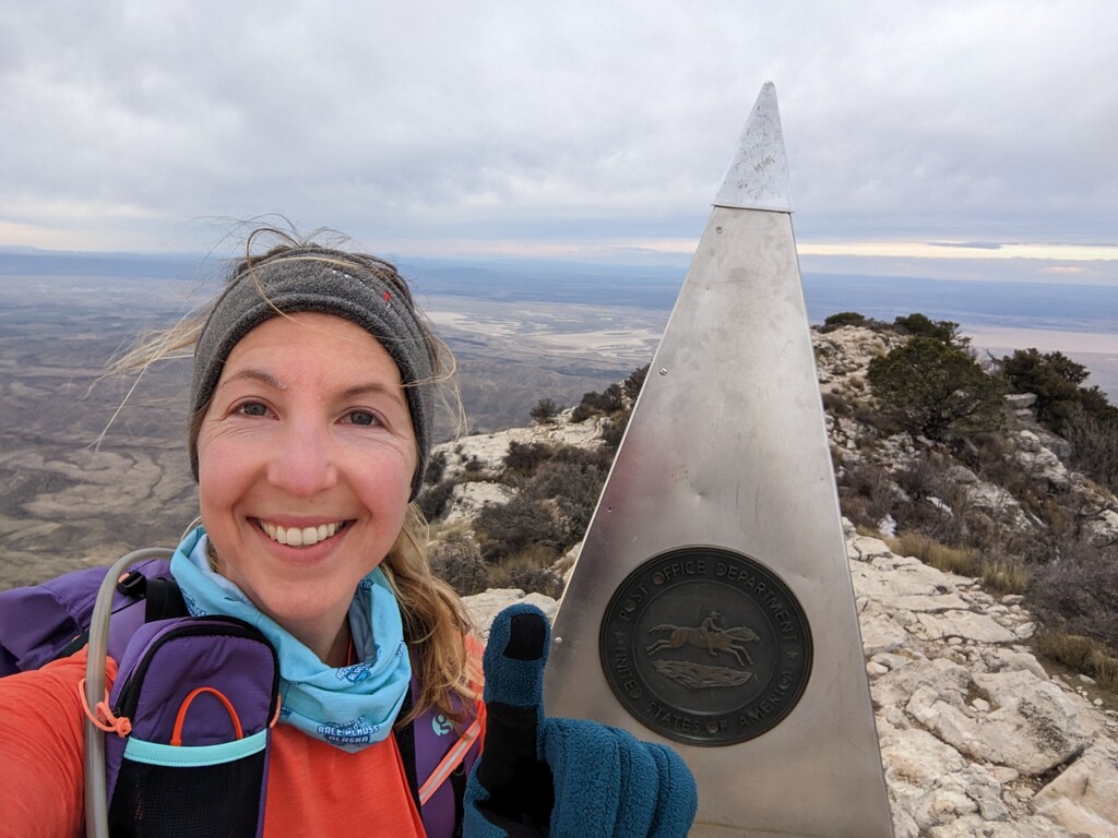
I summited Guad Peak just under 2 hours. At that point, I had to layer up, eat, drink, and figure out my next move. This was when the anxiety really crept up. What were my outs if something happened? Why can I only see 2 other peaks?? I checked the map and saw that Bartlett seemed probably hidden by Shumard. Just figure out the best way off Guad Peak and follow the ridge to Shumard, I thought. It's a ridge, I can't get lost. The wind continued to howl in laughter at my apprehension.
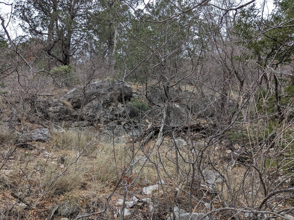
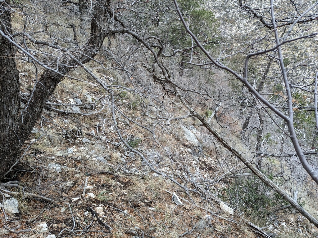
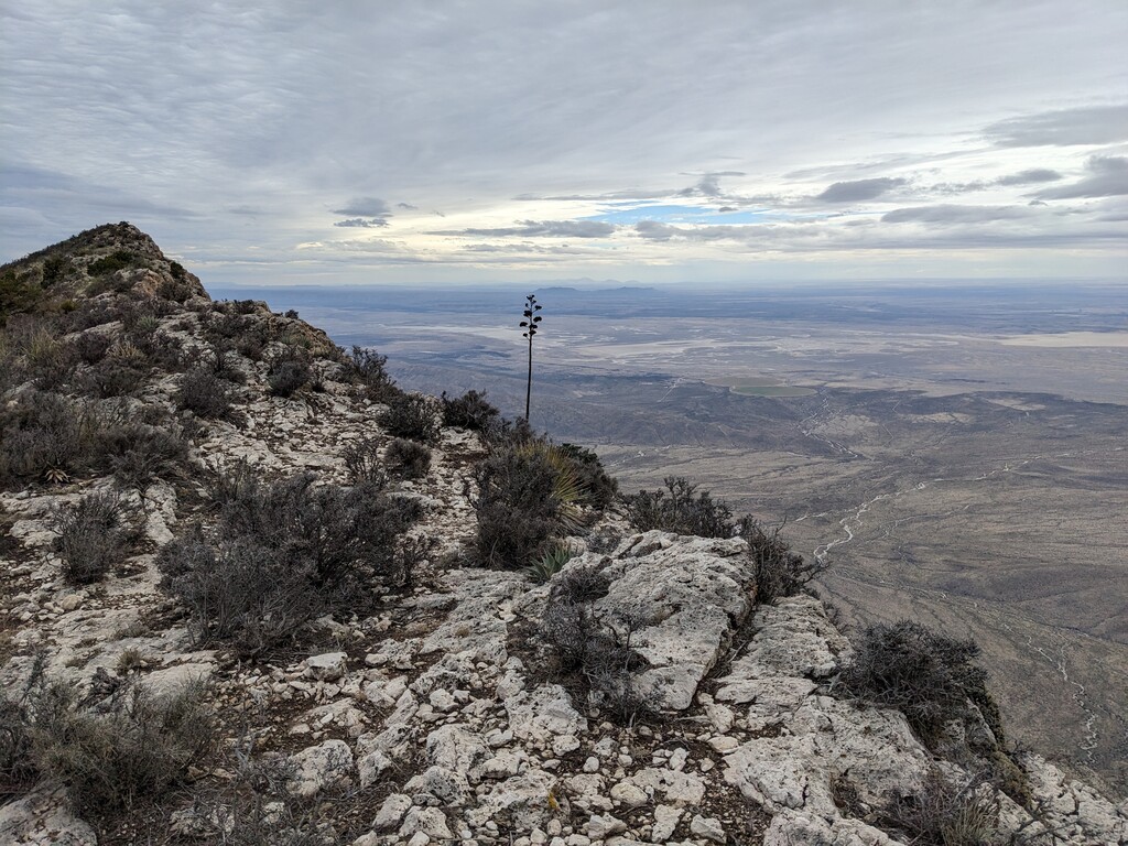
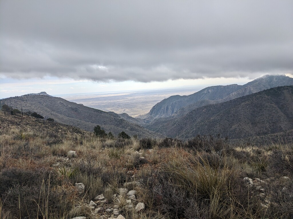
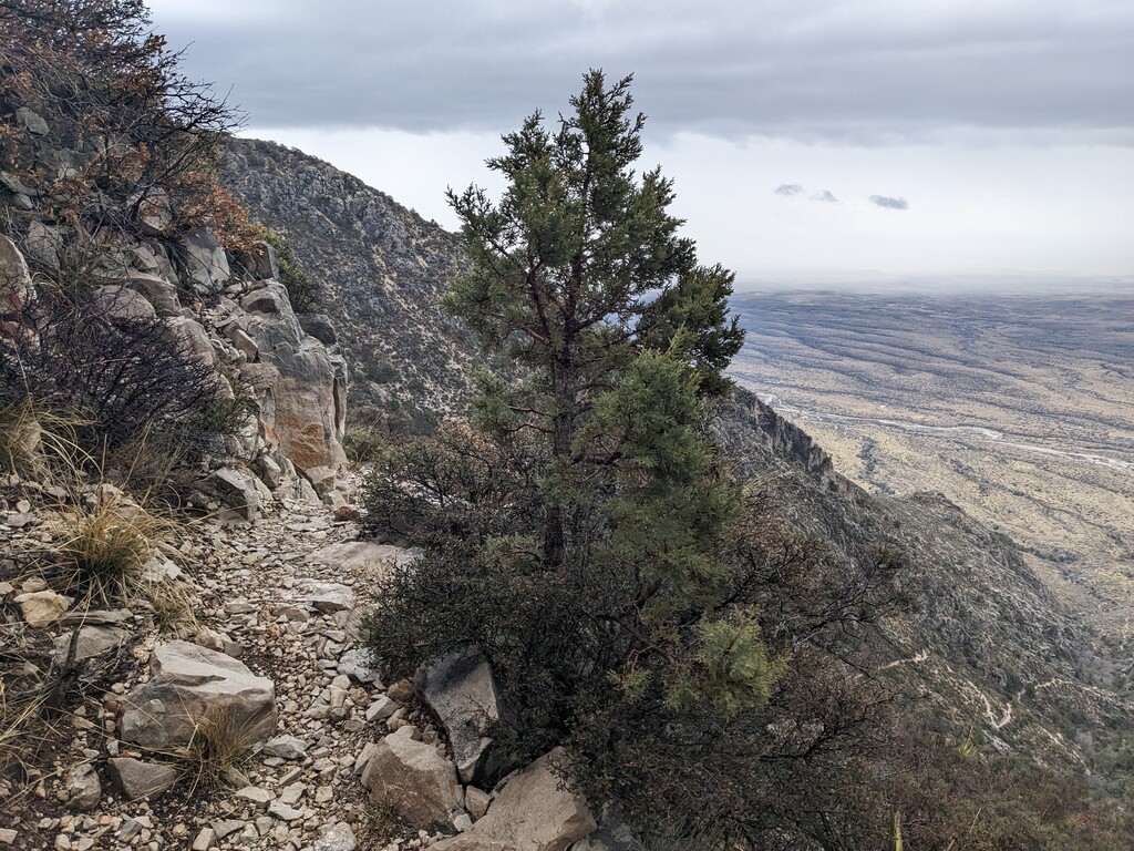
I basically scrambled off Guad Peak. Laughing the whole time, I just kept figuring it out as I went. There were lots of plants that wanted to hurt me, but I was prepared for that. I had tall, waterproof gaiters, and I had layered up into a shell and put hiking pants over my leggings. Pokey things had a harder time poking through waterproof clothing. It helped that it was cold and windy; those layers were multipurpose. I used my poles a lot. It was steep steep. The trail runners weren't prepared for this kind of action, so my feet moved around in them a lot. Good thing my ankles are super flexible. It felt like forever, stumbling over knee-high bushes, sliding over and between tree branches, and trying to avoid cliffy sections, but I did finally reach the valley between Guad and Shumard. It was rocky and easily walkable. I walked west-southwest along this valley a quarter mile or so until the ridge was a bit less steep.
From there I started the ascent to Shumard. This was much less bushy. There were still the low bushes, less than knee-high, but with gaiters those weren't a huge issue. This entire ridge was pretty void of trees or larger bushes. Still a slow go, but not as annoying and demotivating. This was a long stretch between Guad and Shumard. But the ridges were easy to follow. The wind continued to constantly harass me. Having the shell was crucial.
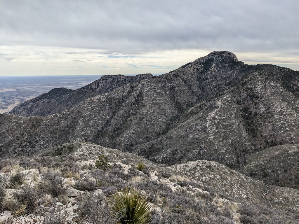
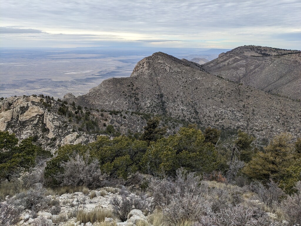
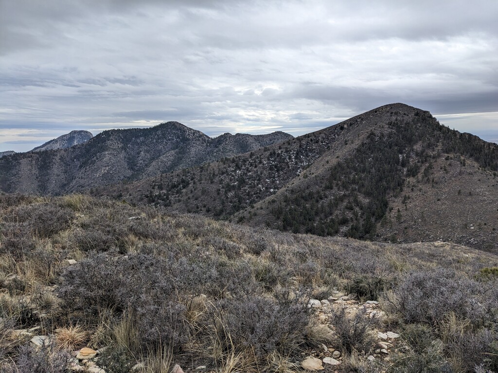
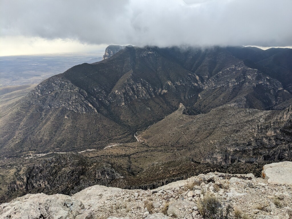
On top of Shumard, I had some decisions to make. Now that I could happily see Bartlett, how would I get there? While having a snack and adjusting layers out of the wind, I studied the topo map and estimated the bushwhacking madness that lay ahead of me. There were lots of trees again, and very steep slopes. Similar, in my opinion, to what I encountered while descending Guad Peak. My watch says I'm at approx 6.5 miles. I look behind me, impressed at how far I've bushwhacked. But when I look ahead of me, I try to think positive thoughts... it looks like a long way still. The wind is howling through the trees where I'm hiding, stealing my heat, so I keep going.
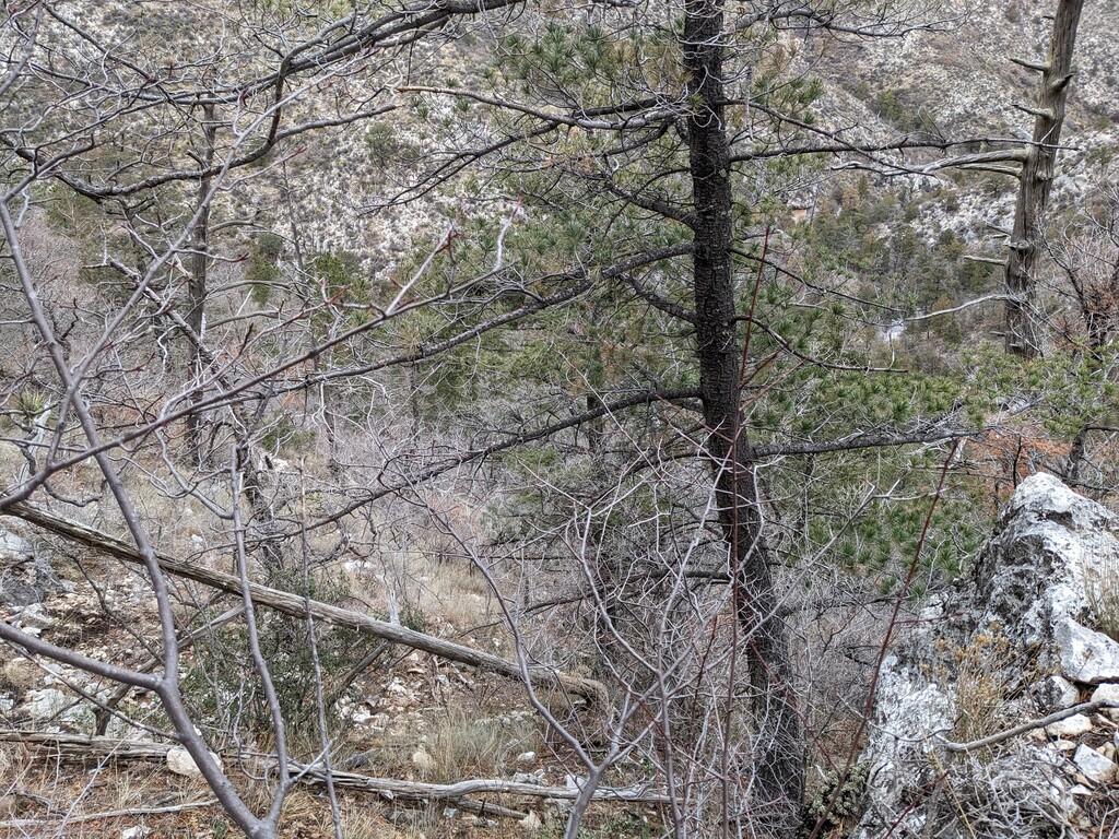
Getting to Bartlett Peak was not as easy as following a ridgeline. This route required more thought, at least on the way down from Shumard. It's bushwhacking, so you pick your path and hope it's not the worst. I kept finding myself running into small cliffy spots that were higher than I was able to step down, and usually at the bottom of the rock were some low growing cactus. I didn't get any cactus needles in my feet, but I worked hard to make that happen. It was also muddy and snowy in many spots throughout this entire bushwhack, and that made things really frustrating on such steep slopes. I chose to cut across the small ridges, heading straight northwest to that sweet flat-ish spot due south of Bartlett Peak. From there, it was easier to assess my line up the ridge to Bartlett Peak. The last bit up Bartlett got pretty steep. Some scrambly spots. One could have easily cut across from the south ridge to the east ridge to avoid trekking up the more vertical bit.
Once on Bartlett, I was getting pretty stoked. Last little bit of bush to go. I was disappointed but not surprised to find trees and bushes on the north side of Bartlett. I made a mistake of sticking to the east side of the north ridge, instead of taking the north ridge down. It would have been less steep, and as I found out once I made it to the valley below, it would also have been less bushy. Not to mention it would have put me in the perfect spot to head up the last steep ridge to Bush Mountain. I chose to fight trees, mud, snow, and super steep terrain instead. I've been told I'm a glutton for punishment...
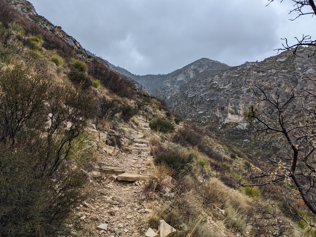
The walk up to Bush Mountain was a breeze on what appeared (from the north side of Bartlett) to be an almost maintained trail. But may have indeed only been an animal trail. Either way, it was a welcome change.
The trail at the top of that ridge brought me so much happiness! I thought to myself, thank you to all those who maintain these trails, what a treasure. One can't completely appreciate the existence of a trail and the effort of those who create and maintain it until they've had a terribly intense bushwhacking excursion.
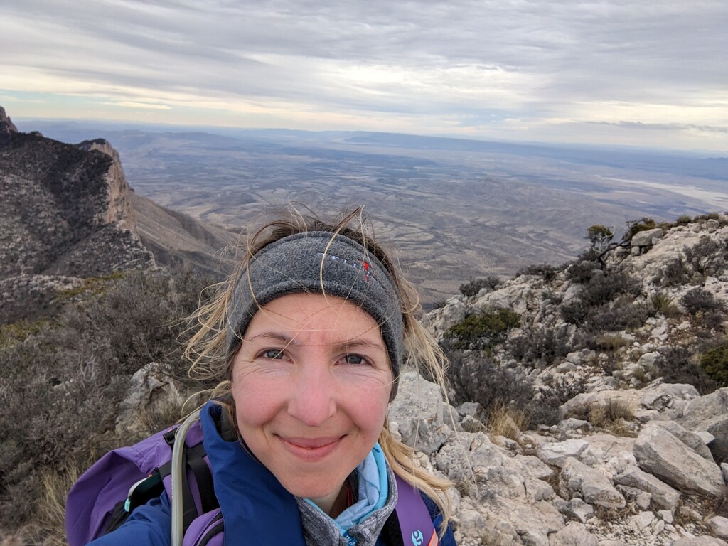
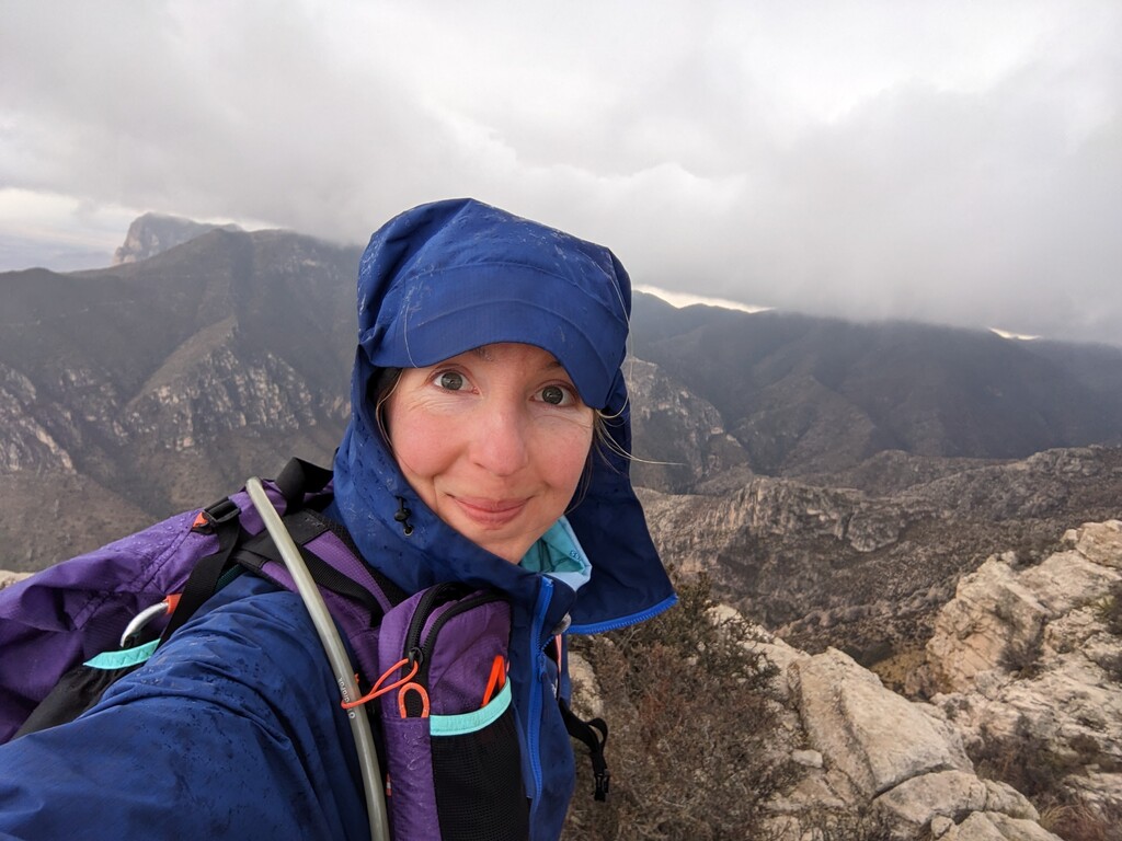
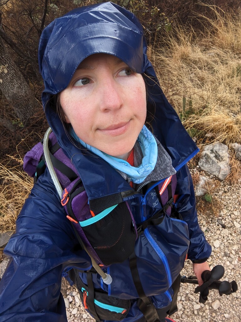
The rest of the way was a beautiful breeze. I cruised this section in what I refer to as a wog (something between a walk and jog) while the wind continued to howl, and the clouds moved in to cover the top of Guadalupe Peak. It brought some sprinkling as I made my way to the intersection of Tejas Trail. At that point the sprinkling turned more into rain, and the wind really picked up. I started up Hunter Peak, and really felt the fatigue at that point. It was a slow crawl up Hunter, despite the lovely trail. At Hunter Peak, the wind was furiously trying to blow me off the peak. I snapped a few pics, took it all in and happily headed down, knowing I had just finished the last uphill of the day.
Bear Canyon was awesome, albeit wet. That's where I got soaked. I was also so thankful for my hiking poles on that stretch. It's incredibly steep.
10 hours 20 minutes, and 1 second after I started, I strolled into Pine Springs trailhead, knees trembling and sopping wet in 48 degrees... and ecstatic at this accomplishment! What an amazing day. It was hard, but I loved it!