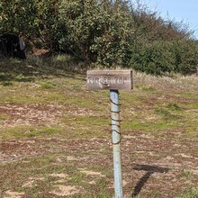
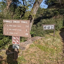
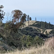
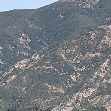
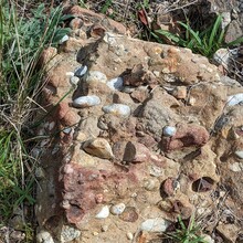
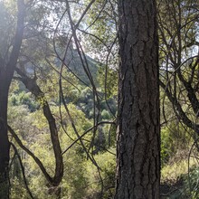
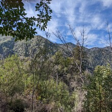
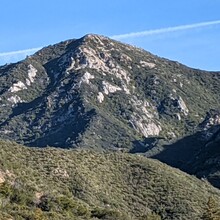
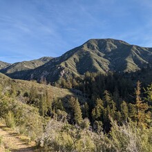
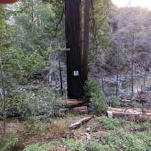
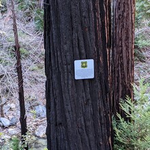
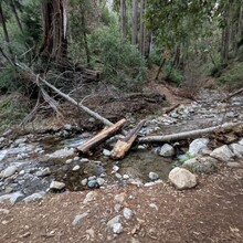
I tried this route counterclockwise a few weeks ago, but was sketched out by the poison oak and the slippery trail. I decided to go back and give it another try clockwise, and really enjoyed the route. An immense variety of ecosystems and terrains with very stunning views. I mostly hiked, but ran the last 12 miles downhill. Plenty of streams along the route make it so that very little water needs to be carried (I overpacked in many ways). I saw 8 other people, one of whom was FKT-holder Alex who will presumably soon set the men's FKT on this route. This loop is a good motivation to improve my fitness and trail running skills to hopefully return and get a much faster time. Sadly the battery-saver mode on my phone made the tracking very choppy apart from the last few miles, when I realized battery-saver was no longer needed. This was my first time using my phone to track a route, definitely a learning experience.
Overall, this loop can feel remote and wild and is popular for backpacking, but despite its rugged terrain and somewhat committing course it is extremely amendable to a fast and light approach.

