Location
California,
US
Distance
33 mi
Vertical Gain
7,700 ft
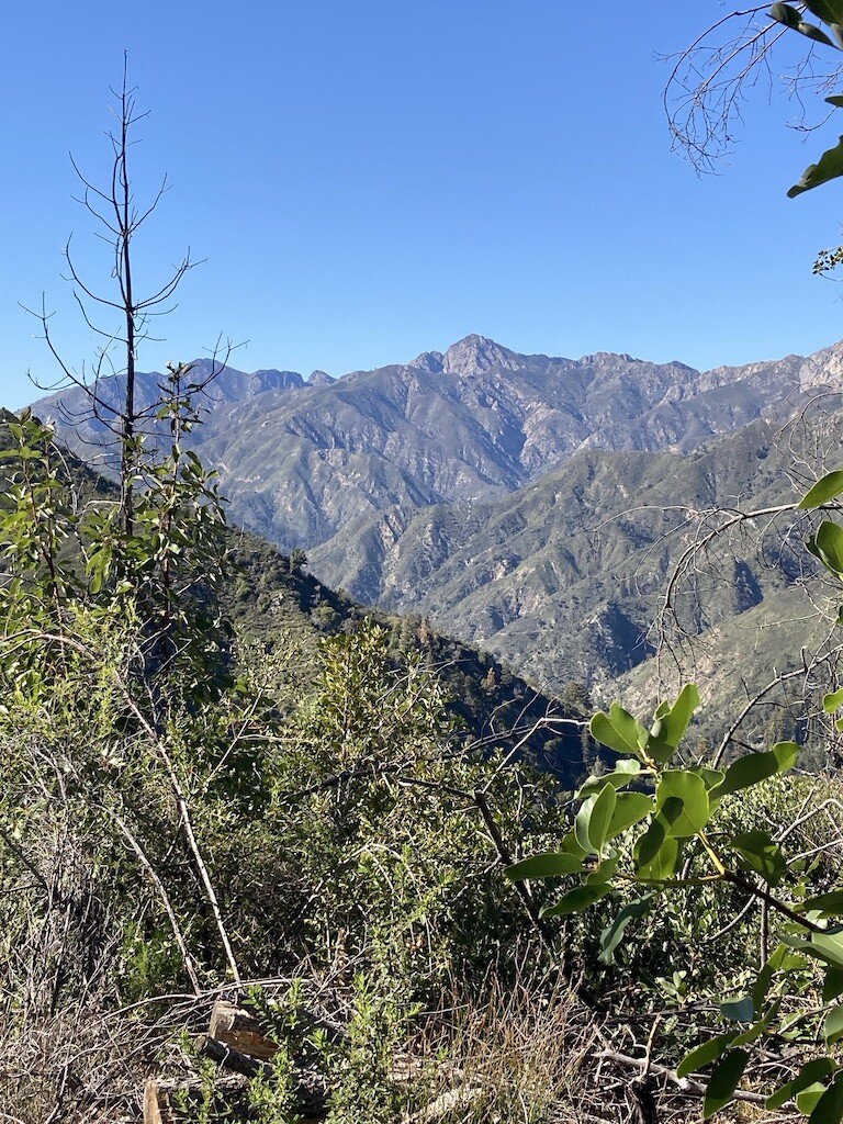
Description
GPS Track
the big sur loop.gpx163.42 KB
FKTs
Male
Female
Mixed-gender team
| Alyssa Clark | 6h 43m 55s | ||||
| Ashly Winchester | 10h 26m 56s | ||||
| Alana Papula | 10h 38m 20s | ||||
| Alana Papula | 12h 18m 41s |
| Stéphanie Simpson, Maxime Tardif | 8h 32m 11s | ||||
| Kate Strum, Ben Bruno | 9h 4m 0s |
Images


Comments
I have created a Strava segment here:
https://www.strava.com/segments/30971100
Also, should be closer to 8,500 feet of vert, my bad.
Looks like Alyssa started at the campground not the Pine Ridge FS TH from her gps track, that only cuts off a mile of the fkt route… Is that an acceptable place to start if I go for this fkt? Can I also start at the state park campground like she did? Looks like Drew and Ashley did a similar thing but Alexander and Alana started at the actual TH. Just don’t know how much people care or if the proper etiquette is to do the route the current holder did to get the fkt or to do the official route.
I have the same question as Anna - I would like to make an attempt some time this week, so would be great to get some clarity on the allowable starting point!
I just checked in on those Strava GPS tracks, and it seems like it appears that way because of Strava’s “hidden start” feature that Drew and Alyssa must have enabled. On the online Strava links, it shows both runners’ GPS tracks starting 0.1 and 0.4 miles into their activities respectively. So that would mean that the TH is the spot to start for this loop. Enjoy!
Question for the mixed gender self-supported: it appears at least one of the two was actually unsupported. Filtering water does not count as self-supported, correct? I am wondering why these are labeled self-supported.