Hot, humid Labour Day to tackle this route. Trail was muddy through portions and the rocks can remain slippy with morning dew, so had to be careful underfoot.
Should have recce-d it as the route is confusing, so I'll try to explain for any future runners. Only reason why I was able to stay on track was because I had the GPX file on my Garmin, but it wasn't overly fun having to keep looking at my watch rather than looking at the scenery as I went.
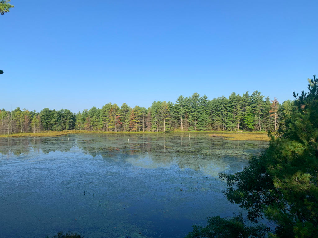
Starting with, I did not see any waterfall sign. There is an obvious path at the end of the parking lot, but it was very obvious I was heading in the wrong direction, so had to turn around. Was able to spot an unassuming path of the side of the parking lot with red arrows and followed the GPX that eventually included the yellow blazes I was searching for. Stopped to admire the view at Eagles Nest or Crow's Cliff (I think the name depends on which map you're reading).
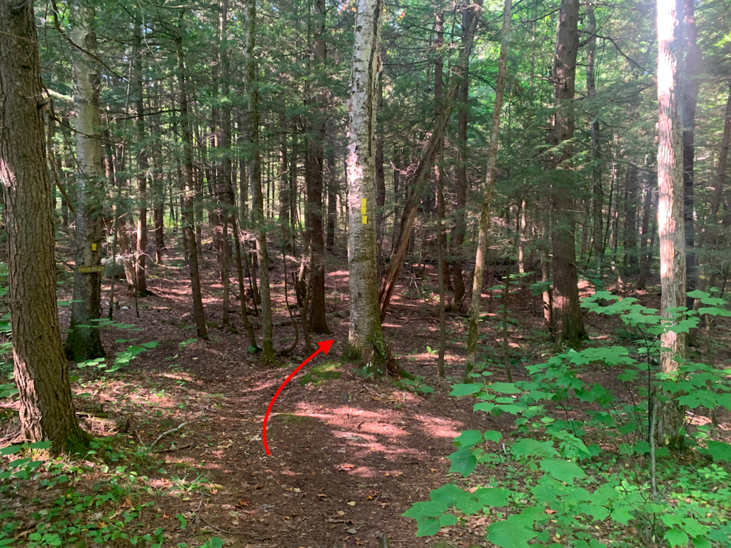
The second time of frustration was when I was led astray by the shortcut. The route description for this FKT says "Part way through, there is a marked, blazed shortcut during a section of the trail. Take it!" I have included a photo of the marked, blazed shortcut that is about 3 or 4km along the trail with a red arrow that is pointing in the correct direction. The shortcut leads you in a completely opposite direction. Do not take it. I'm not sure why this was included in the route description.
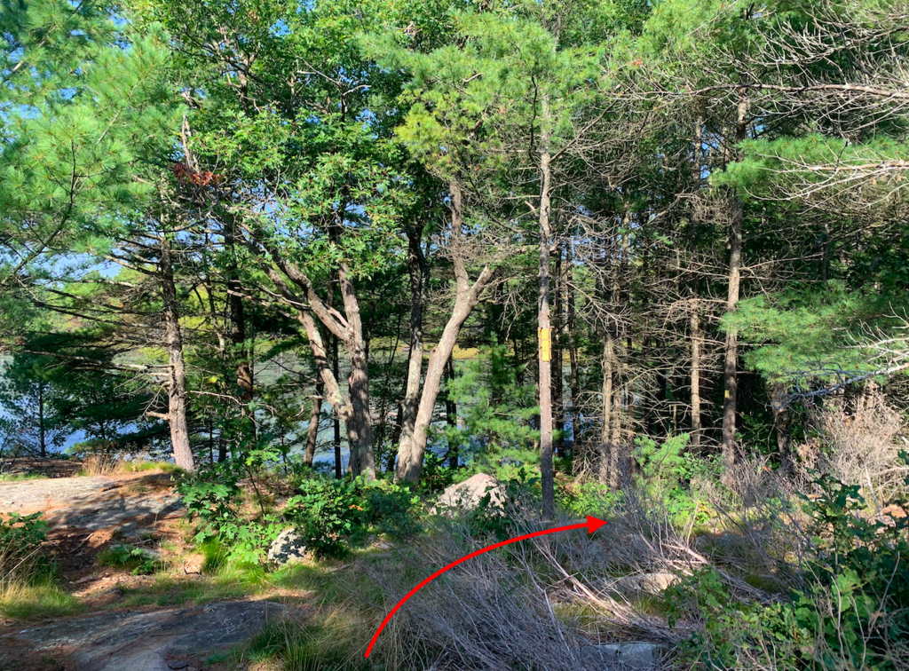
The third instance of confusion was a fork in the trail of yellow blazes. I've included this as the final photo with a red arrow pointing in the correct direction for heading out to McCrae Rapids.
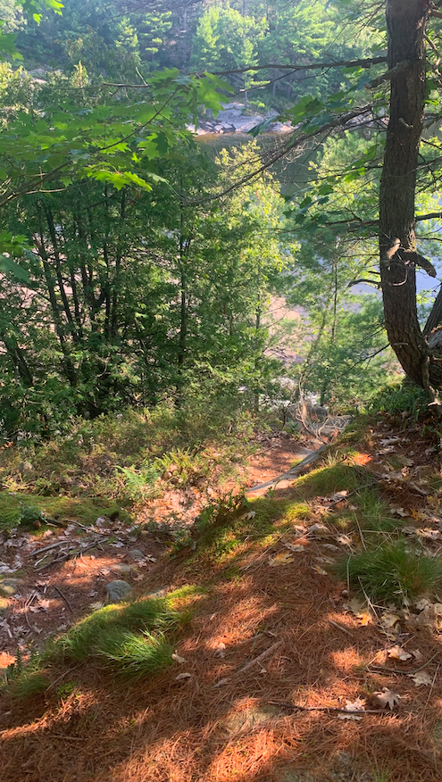
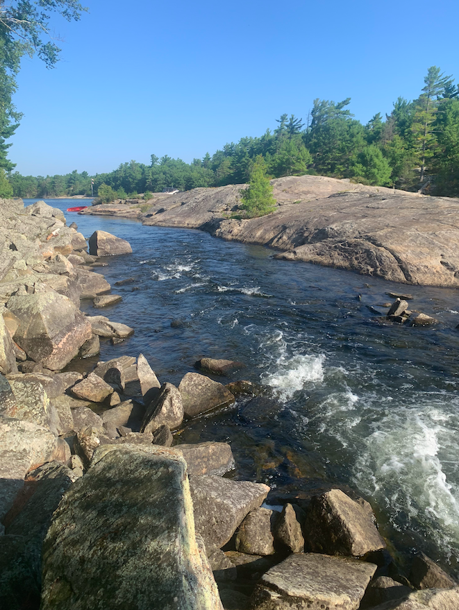
Finding a route down to the rapids went alright. I've included a photo of my descent route as well as a photo of the rapids.
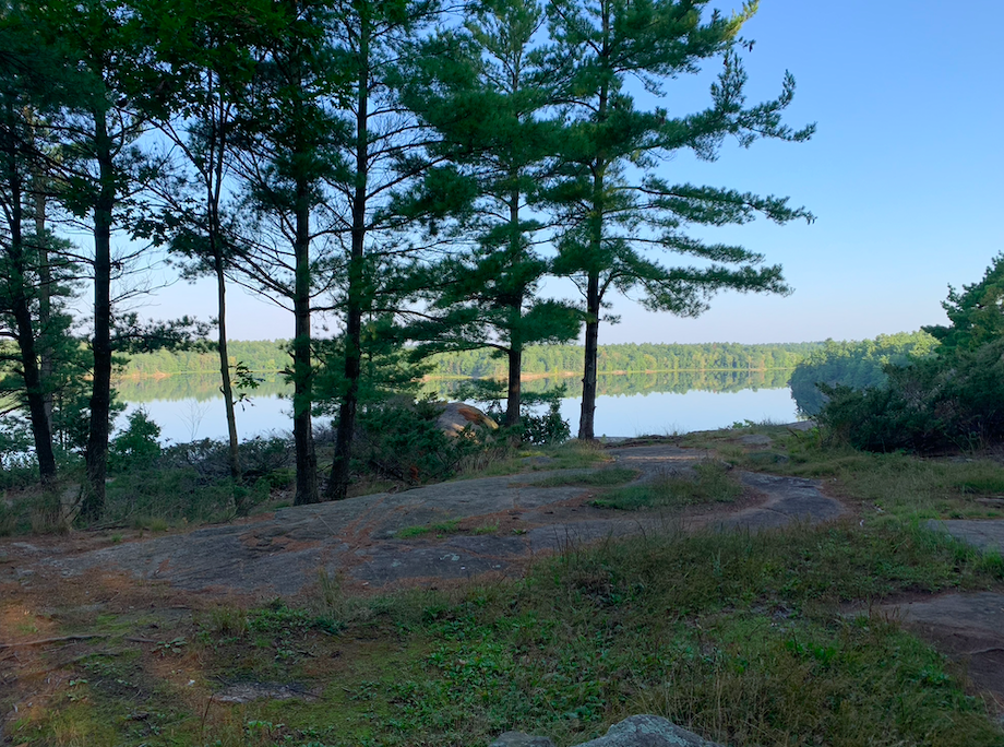
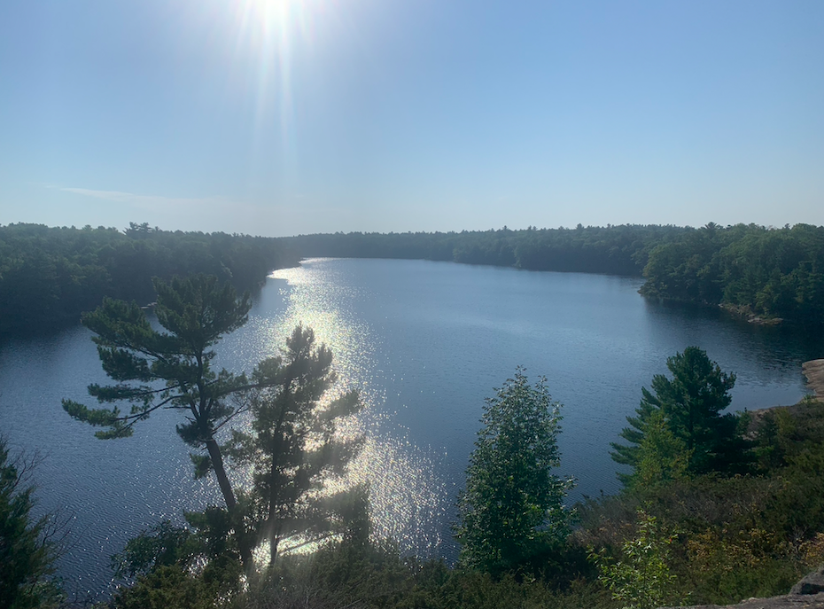
Overall, gorgeous views, but frustrating navigation.