Route: McCrae Lake Trail (ON, Canada)

Submitted by jamiesonhatt on Mon, 10/19/2020 - 05:24pm
Location
Ontario, CA
Distance
15.5 km
Vertical Gain
415 m
Description

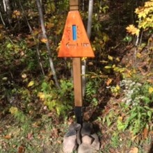
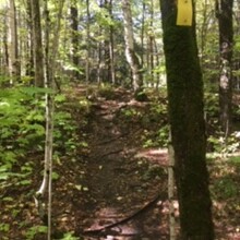
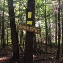
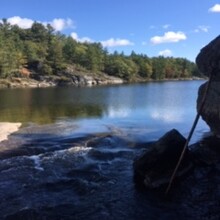
McCrae Lake Trail is an out and back trail located near Wahta Mohawk Territory, Ontario. Officially designated as a Provincial Wilderness Area, McCrae Lake is exceptional in that it houses no commercial development at all; it remains unspoiled and in its natural state. The parking lot for the start of the trail is located just off of highway 400 taking the Crooked Bay Road exit. The trail is well marked with yellow blazes and rock cairns. The trail can be wet and muddy in areas, also the bugs can be bad during the summer. It is fairly rocky and technical. The parking lot can fill up fast peak season(especially weekends). The start is marked by a waterfall sign. Part way through, there is a marked, blazed shortcut during a section of the trail. Take it! For the official halfway point of the trail(out and back), follow the yellow blazes and then scramble down the rocky section until you touch the water. Be careful here as you will have to use your hands to work your way down to the water. Take the same route back and finish at the waterfall sign. Great route, enjoy!

Trail info blog https://www.voyageurtripper.com/hiking-mccrae-lake-conservation-trail/

AllTrails route https://www.alltrails.com/trail/canada/ontario/mccrae-lake-conservation-trail

GPS Track
Images