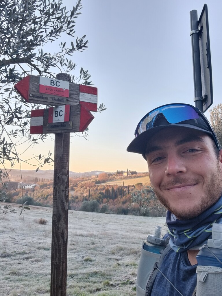
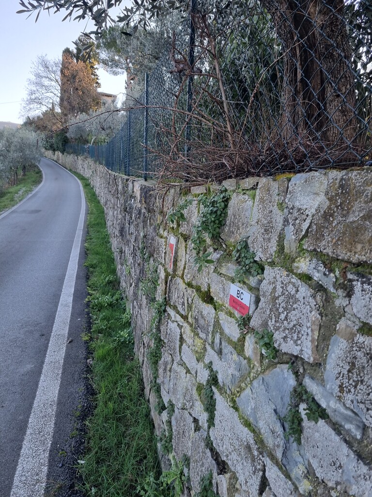
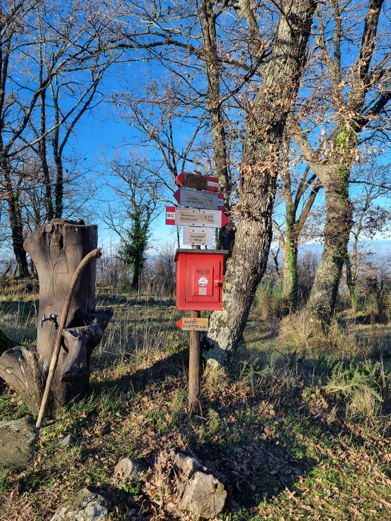
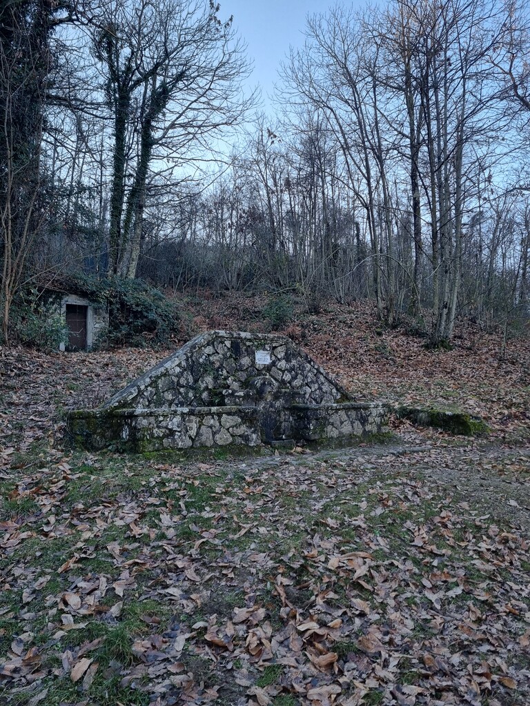
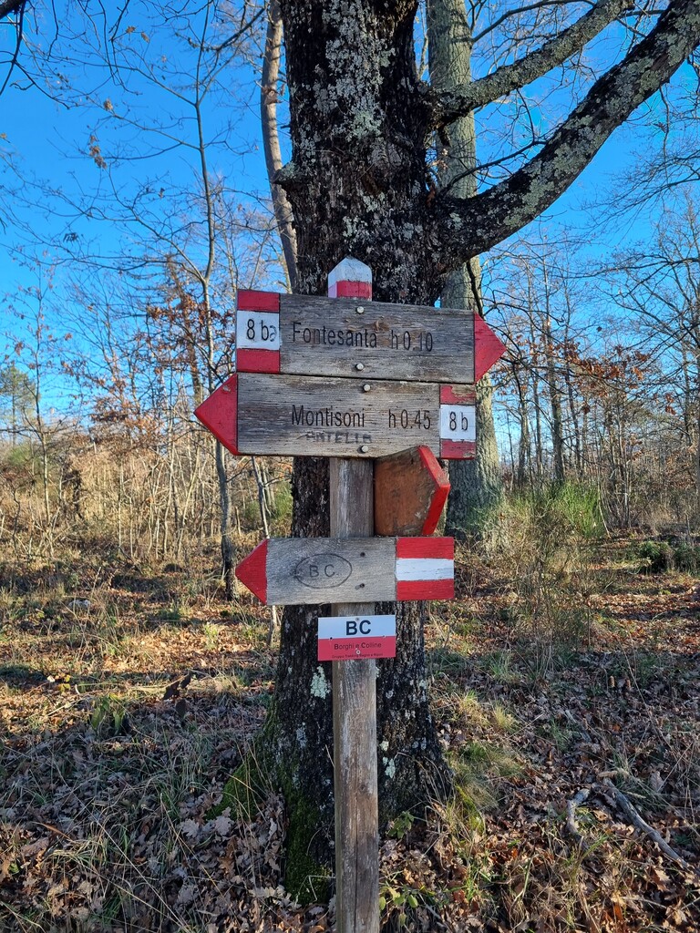
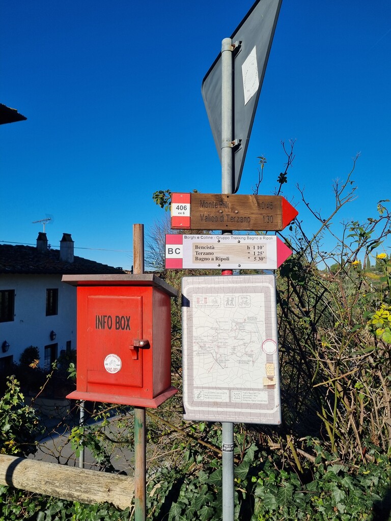
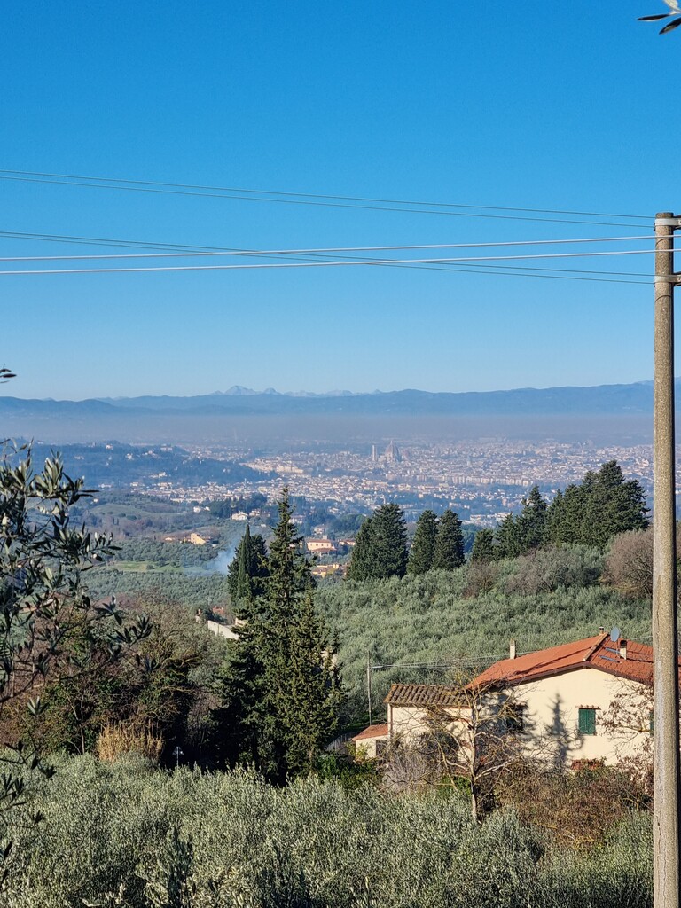
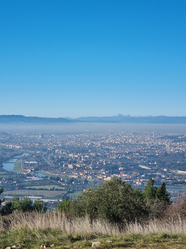
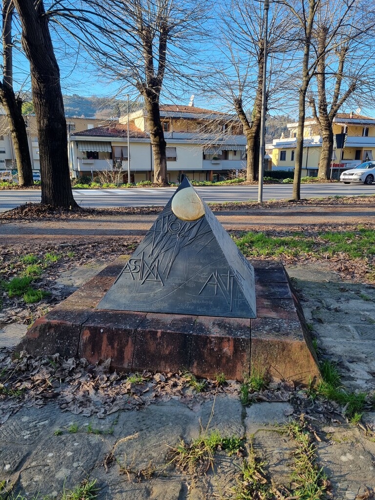
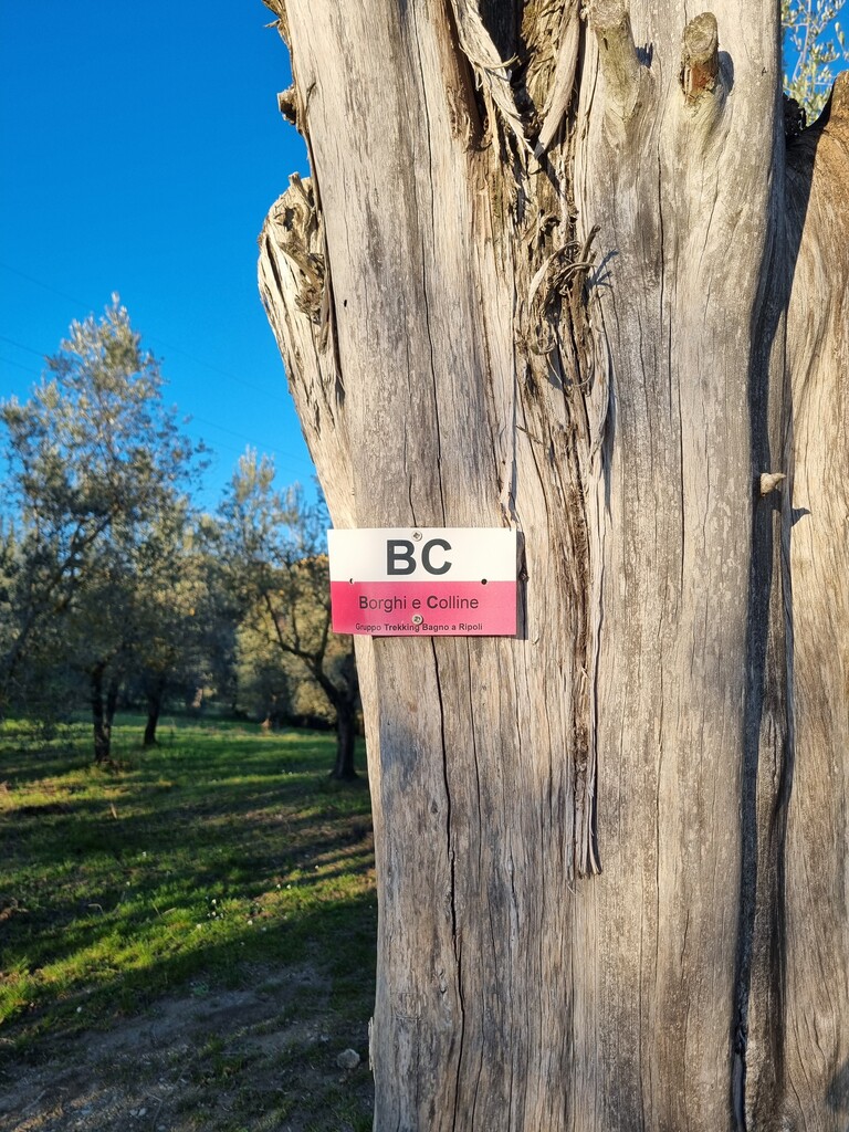
I started from (43.727105, 11.272874) near Monte Fattucchia at 8:00 a.m. on Monday, December 29th, 2025, with a temperature of –3.5 °C, following the route counterclockwise, as originally designed by the Gruppo Trekking Bagno a Ripoli. A water point is available shortly before the climb to the Church of San Martino, approximately 2,5 km from the start. Attention is required along the section between Grassina and Ponte del Carlino, due to dense vegetation, steep slopes, and muddy terrain. The route enters Villa di Lappeggi, then continues along a very runnable stretch alternating dirt roads and paved roads, up to km 10, where the trail enters a wooded path. At km 11, there is an information box with a water source. The route continues toward Fonte Santa, where another water source is present but explicitly marked as non-potable. To avoid any risk, I chose not to refill here. The trail continues until km 15, where it joins a long stretch of dirt road. Around km 18, the route follows the Borro di San Giorgio stream, which can be useful for cooling off during hotter periods. After passing under the highway bridge, at km 21 the route returns to a trail leading to Il Bigallo, where another information box is located at km 22,5. At km 27, there is a non-potable water source, recognizable by a white statue of a cat. The route continues until km 29, where a long downhill section begins toward Bagno a Ripoli. Note: A short detour was necessary due to a landslide that closed Via della Croce around km 35. At km 37, the route passes through Piazza della Pace in Bagno a Ripoli, which marks the official starting point of the loop. Here, a drinking fountain is available, where I refilled my water. The route continues on asphalt roads and bike paths until km 39, where it enters a scenic section among vineyards and rolling hills. At km 45, the trail passes under the highway and emerges near the Ponte a Niccheri Hospital. At km 46.5, there is a municipal drinking water column. Shortly afterward, be careful: older trail markings continue alongside a sports field, but the route is currently interrupted due to roadworks. Turn right at the junction, new trail markings will appear shortly after. The path goes through an underpass beneath the new roundabout and continues along the tree-lined avenue of plane trees leading to Grassina. At km 48, the final stretch begins, following trails and dirt roads that lead to Via dell’Uccellarone, where another water source is available. A final climb leads back up to Monte Fattucchia, followed by a descent that brings you back to the starting point, completing the loop.
I will be documenting this route in the coming weeks with a YouTube video, hoping it will help others discover this beautiful trail that winds through Florence, Chianti, and Valdarno.
Good luck to everyone and enjoy the trail!