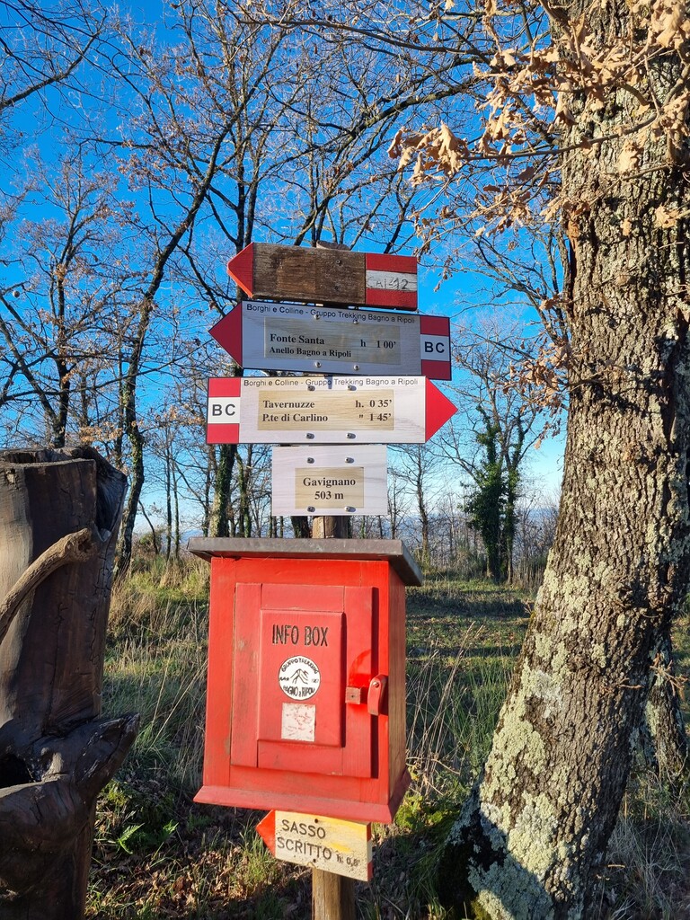
The “Borghi e Colline” Trail is a circular hiking route connecting Bagno a Ripoli, Grassina, and Antella, crossing a wide and diverse territory between Florence, the Chianti hills, and the Valdarno. The itinerary has an official length of 52.5 km with approximately 2,000 meters of positive elevation gain (slightly less according to a track recorded with a Garmin Fenix 6X Pro). The route alternates single-track paths, forest roads, and short stretches of asphalt, reflecting the historical and rural nature of the area it crosses. The trail was realised and marked by the “Gruppo Trekking Bagno a Ripoli” with the aim of linking places of outstanding historical, cultural, artistic, and scenic interest. Notable points of interest and track characteristics:
-
Fonte Santa: site of a clash between German troops and Italian partisans during World War II.
-
Poggio all’Incontro: once a Lombard lookout point and recently restored as a convent.
-
Ancient paved paths: remnants of historic routes crossing the countryside.
-
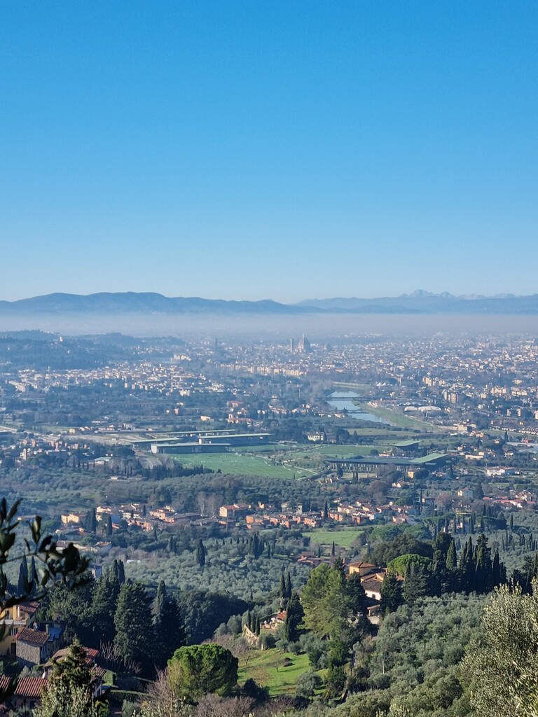
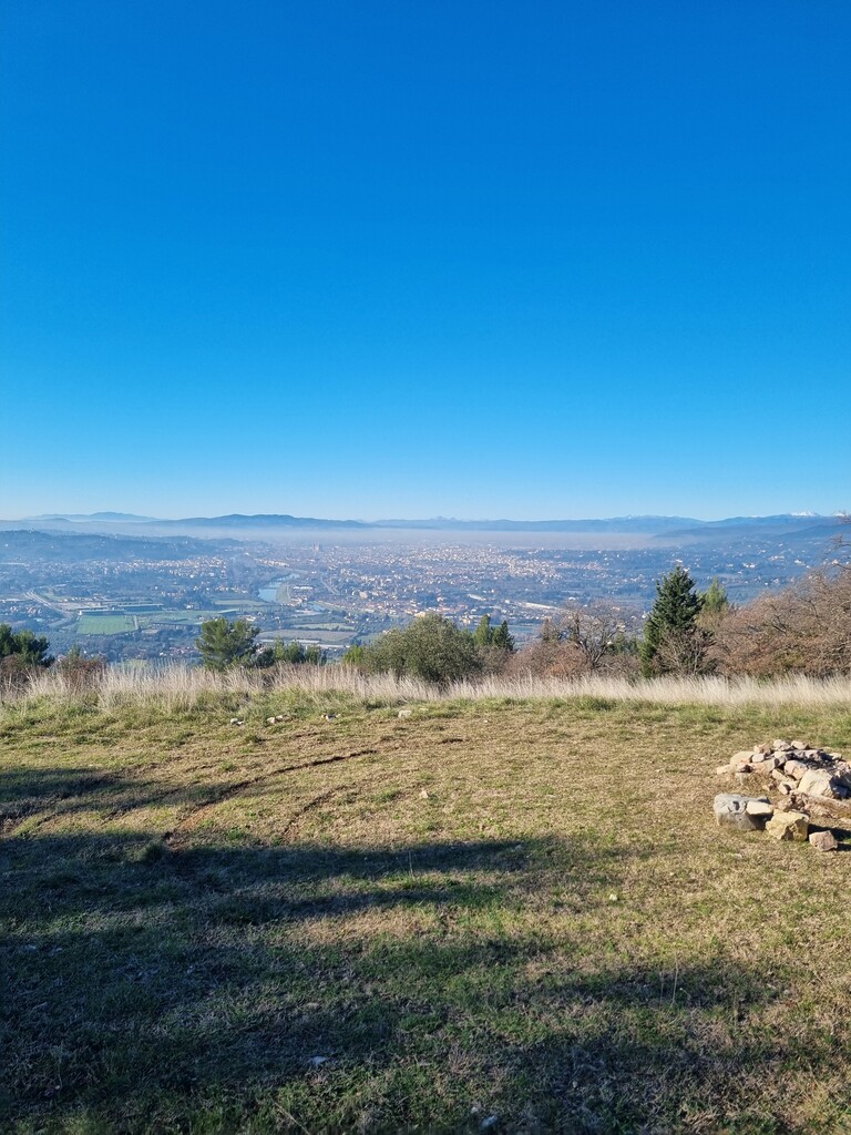
Panoramic viewpoints over Florence, Impruneta, and the Valdarno.
-
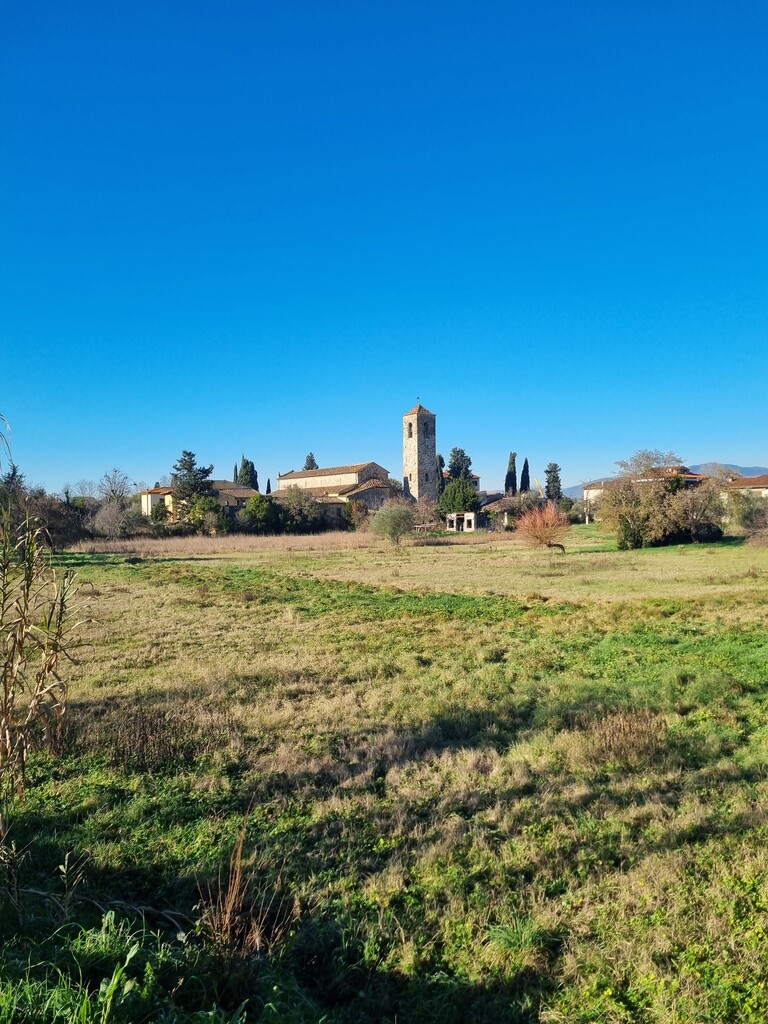
The Church of San Martino: dating back to the 11th century, one of the oldest religious buildings in the area
-
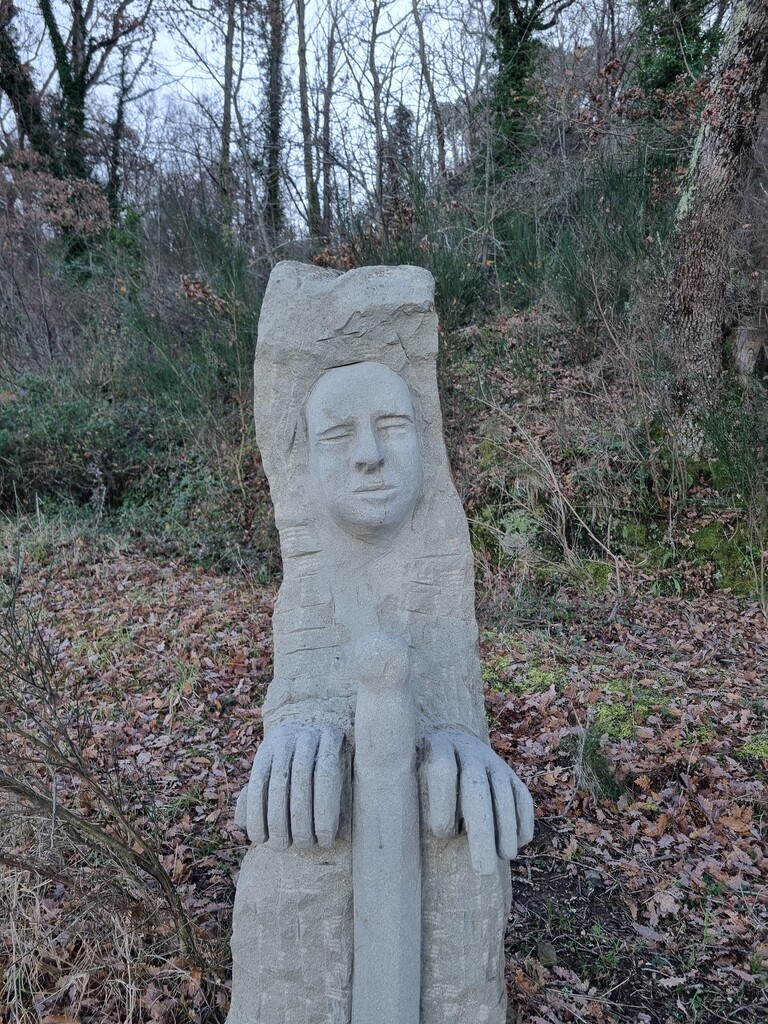
Art installations by Antonio Crivelli, integrated into the landscape like the "Templar Stones" and "The twelve Apostles"
-
Mediterranean scrub vegetation (macchia mediterranea), with holm oaks, shrubs, and aromatic plants typical of the Tuscan hills, contributing to the trail’s rich natural environment
The “Borghi e Colline” Trail offers a unique opportunity to explore the Tuscan landscape, combining nature, history and art within a single, carefully curated itinerary.
For further information, maps, and the official guide, please visit the trail’s official website: https://www.borghiecolline.it/default.htm