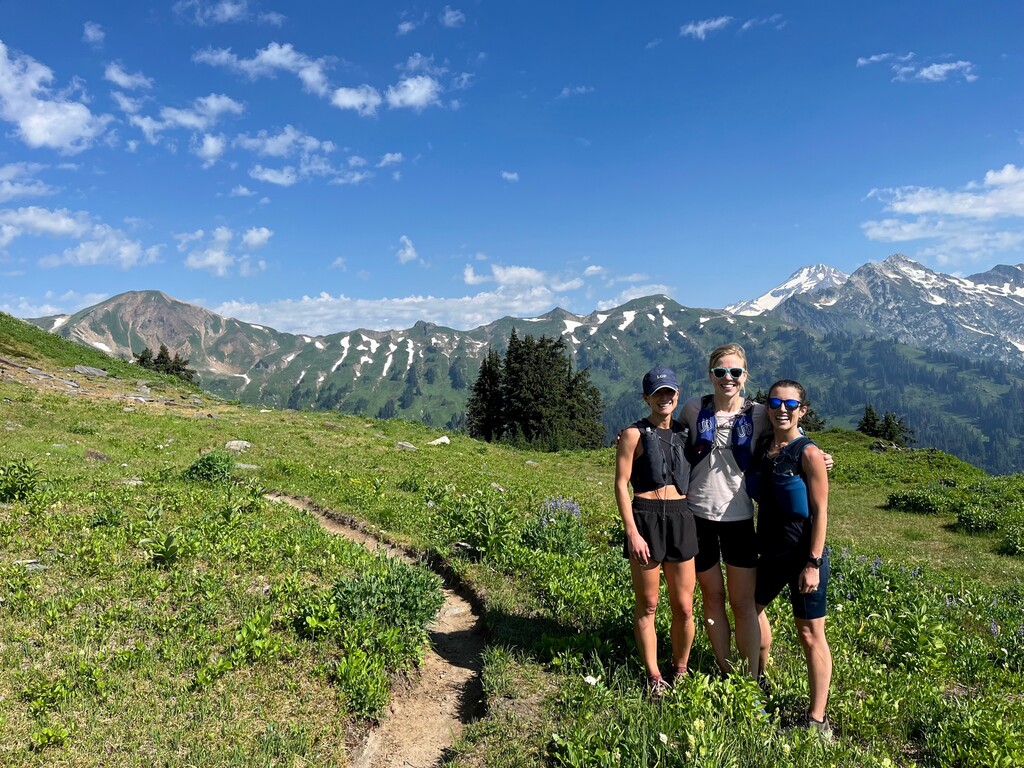
This was an awesome loop.
We (the three of us) set out from Seattle on the ~2:15hr drive at 4:45am on 8/12/2022, arriving to the trailhead just after 7am. Parking lot was medium full, presumably of hikers as the trail is known as a 3 day/2 night backpacking loop. We set off at 7:15am, initially very happy to have a rolling 5 miles with no significant hills. The trail is lollipop, so you head out 1.9 miles before you can opt to go either CW or CCW. Alltrails guided us to go CW and we did not regret this decision.
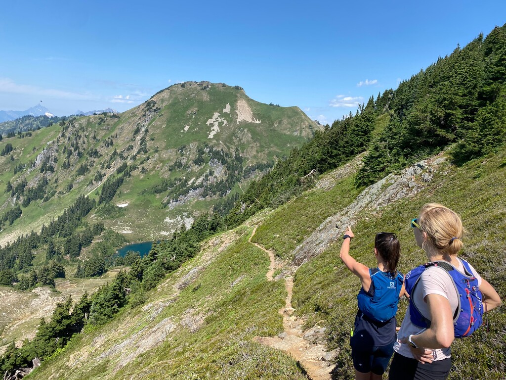
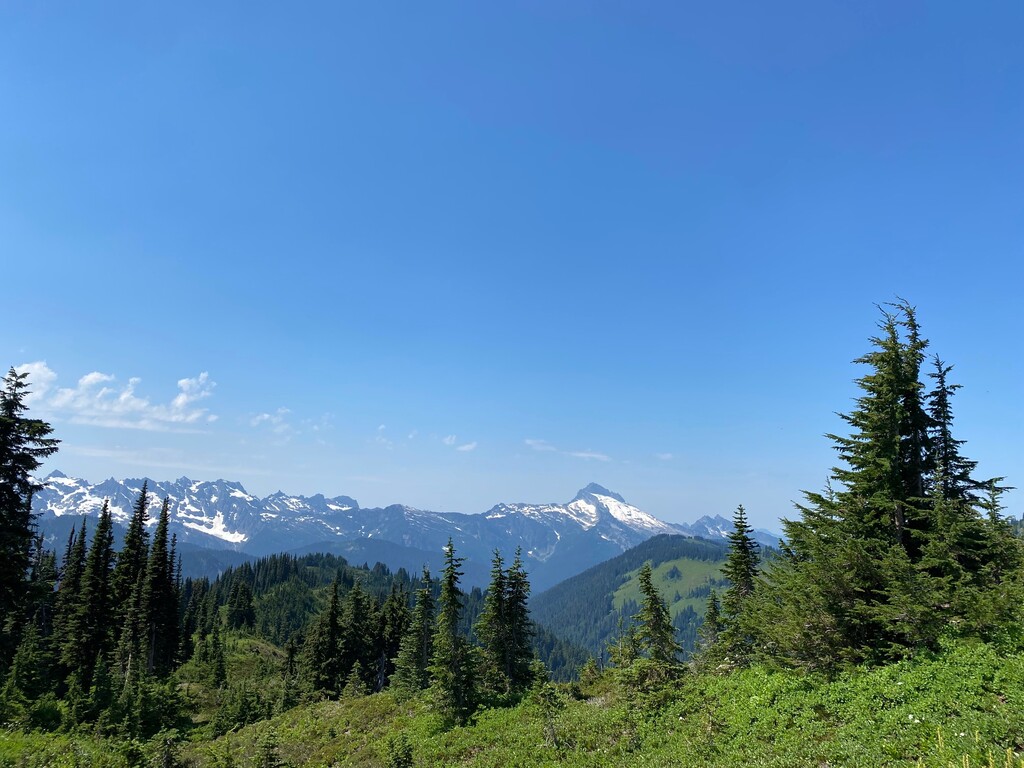
After the first 5 miles, we hit the climbing, going up 3K in around 3 miles. It was mostly shaded so wasn't too bad despite it being a warm August morning. We then ran the ridge line, which was very runnable for 4 miles, then hit another uphill around mile 14/15. We were spooked by some noises in the bushes that we thought could be a bear, but it turned out it was 2 F35s that were running a drill through the North Cascades (thinking from an air base on Whidbey Island?). Incredible to see and wish we had got a picture or video. Hikers that we passed said they had been running drills all week.
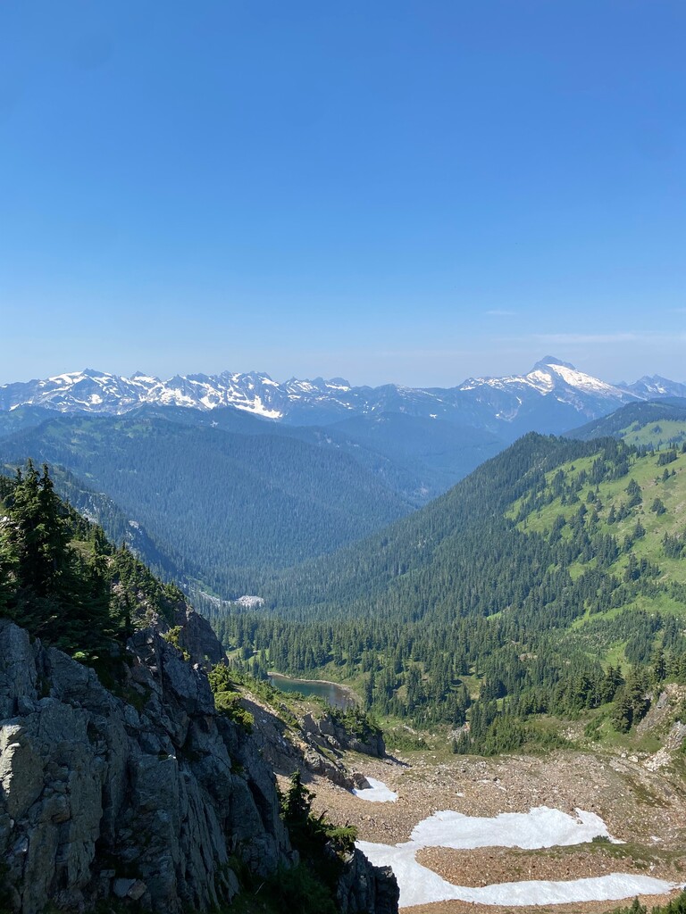
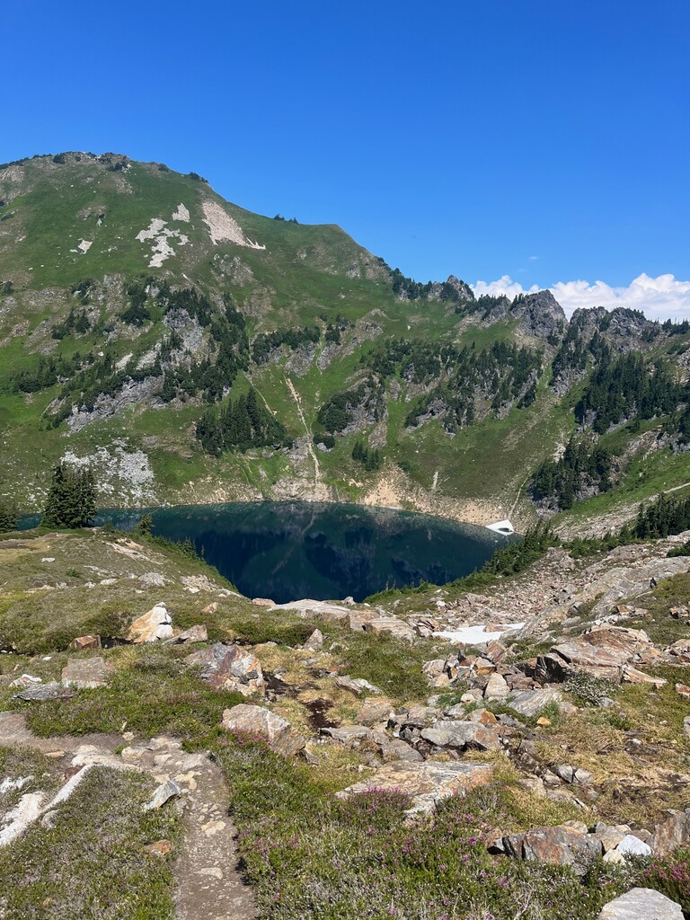
At roughly mile 16.5, we made a wrong turn (by continuing straight at a junction instead of taking a hard right) and continued to follow the PCT for 1.25 ish miles before realizing we were off course, so we doubled back, adding about 2.5 miles to the overall loop (whoops). When we got back to the junction where we had continued straight in error, we then made the correct turn onto Bald Eagle to continue the loop. We continued on Bald Eagle for another runnable mile or so to a junction with Blue Lake High Route where we veered right to stay high and continue towards Upper Blue Lake. This trail was a steep scramble up to the top of a ridge, then a steep scramble descent down to the lake. Two out of 3 of us were out of water and we were at about 20 miles so far, thanks to the 2.5 mile wrong turn, so the stunning Blue Lake was a welcome sight to our eyes. We spent 20 or so minutes filling up our vests, then continued on through the camp sites scattered around the lake to Pilot Ridge Trail. It descended a little further from the lake then ascended an, unfortunately runnable grade for about a mile before then following the ridge on a runnable decline until the final 5 miles.
The final 3 miles of the lollipop are a not enjoyable steep downhill bottoming out at the North Fork Sauk River which you then have to cross over the multitude of logs that are strewn across it. It is pretty brushy on both sides so a little tricky to then meet up with the final 1.9 miles (beginning of the lollipop), but veering left brought us to the right place. The final 1.9 we remembered being uphill, so expected it to be downhill, but it turns out it is rolling. We made it back to the car just after 4pm and were back on the road to drive back to Seattle by 4:30pm. Home in time for dinner :)