



I did St Cuthbert’s Way (‘SCW’) unsupported in just over 16 hours. I think this time is very beatable,-a really good athlete could take the unsupported FKT down below 10.
It was a very enjoyable route through a part of the country with which I was completely unfamiliar. I'd like to come back though as it is a lovely part of the world. Not the high hills of the Lake District or the bleakness of the Pennines but just rolling moorland for much of the way. Until maybe the last 15km signage is really good and the paths are well maintained. A joy to run on. My only criticism of the route was a bit too much road.
I was blessed with good weather - around 22C for the late morning and afternoon. I had a headwind the whole way which would normally have been a pain but I was glad of the cooling effect.
Here's some information for future runners.
There are many times that the actual route disagrees with the gpx file on the FKT website. It is normally a quick deviation before getting back on the gpx track. In all cases I followed the actual 'on the ground ' route. I had no choice, the gpx route would have taken me along paths which did not, in reality, exist.
I was forewarned by reading the SCW literature that the first climb is a tough one. They were right, it was. However, at this stage I was still fresh and enthusiastic so it did not cause any problems other than to note that, half way up the hill, the actual route is different (maybe slightly longer?) than the gpx route. They soon rejoin. The best bit is that you see the path snaking up to the top of the hill but fortunately you are saved as the SCW passes over a col.
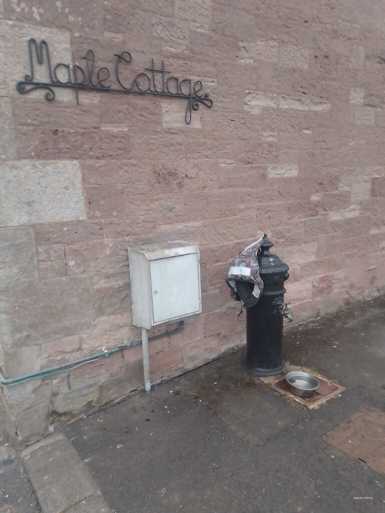
The first place where the route is a little confusing is in St Boswells. This was one occasion when I did actually follow the gpx file as the signage just did not seem logical. They became consistent again at the golf club so if you get lost, just aim for the golf club. The other important thing to note is that the village has a famous drinking fountain. A drinking fountain that does not yield any water! Fortunately there is an alternative as there are some public toilets outside the community centre (slightly off route). At the time of writing these did cost 30p so bring some coins.
After St Boswells I wasn't expecting another tap until Harestanes visitor centre so it was a major bonus to find a roadside tap right on the route in Maxton. Bonus.
The next tap is in Harestanes. I recced this the previous day and it's a free public toilet. The downside is that it requires an out and back detour of 1.4km. Unless it's a super hot day, fill your bottles at Maxton and skip Harestanes.
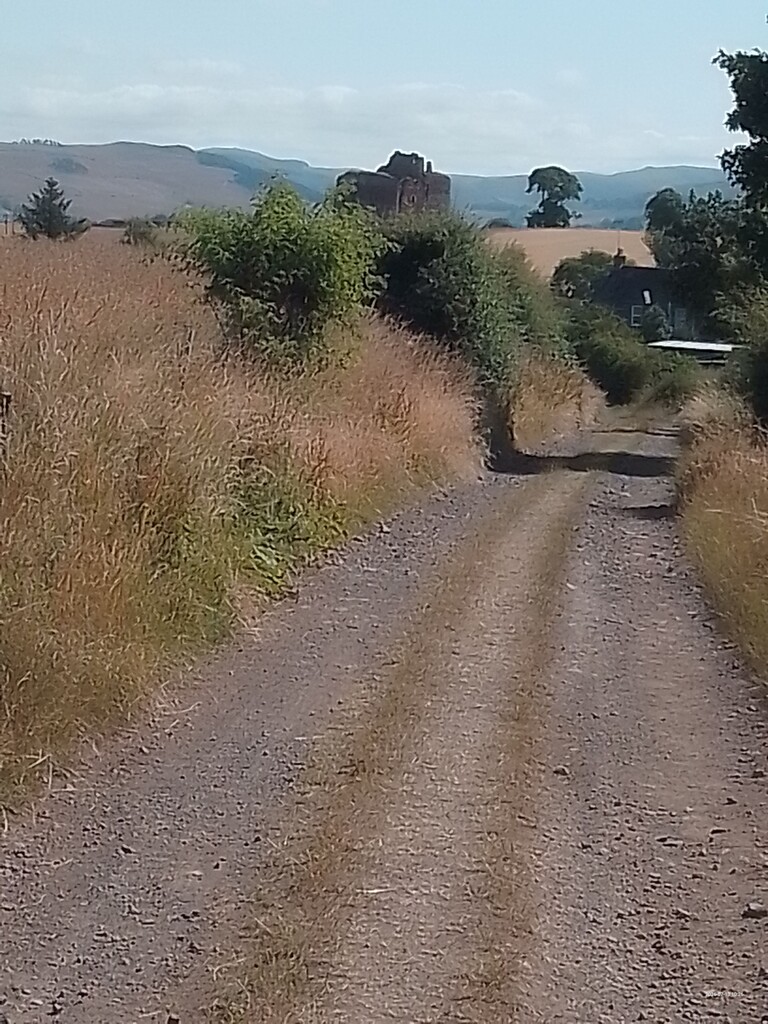
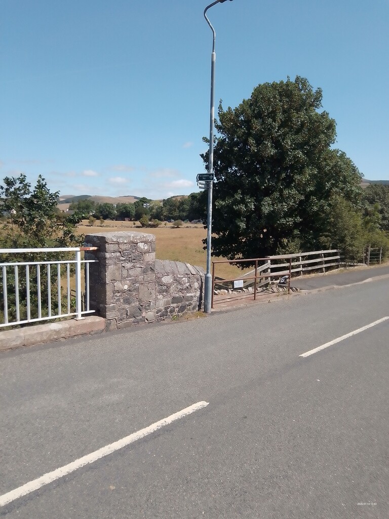
After that initial climb just outside Melrose this is all very pleasant running along well maintained forest tracks, riverside paths and roads. The temptation is to go too fast but I was conscious of the 100km and the hills to come mid-run.
I did get lost (my only serious nav error) in this section as I seemed to lose the path by the River Tweed. I was clinging to the river’s edge when the true route was running parallel to me, more inland. I eventually bit the bullet and sidetracked through some chest high nettles to get back on the gpx track. This was a scary moment as a very well-meaning local outside her house offered me some water. I just looked panicked and said “No, no, I’m good, no”. I didn’t want to go into all the complexities of an unsupported FKT.
On to the road on the outskirts of Morebattle I was greeted by a lady with a watering can. She gave me a verbal summary of the delights of the village which was a bit of a surprise but very kind. I am not sure if she does this 24 hours a day! I felt a little guilty going through the village store to get to the public tap behind it. I thanked the proprietor profusely and hoped that was enough. It did look like a well-stocked shop so if you are self-supported then it looks like a good stop.
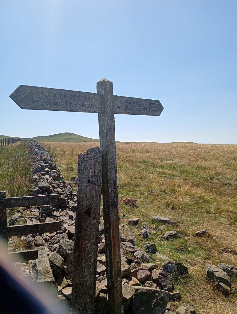
Plodding on I arrived at Town Yetholm. Quickly through there, past the half way point, and on to the famous Kirk Yetholm. I have seen so many photos of happy people reaching the hotel at the end of the Pennine Way (or looking apprehensive at the start) that it was strange to see it ‘in the flesh’. I wasn’t sure if there was a tap here or not. I had saved some water in case there was no tap but I was happy to see a tap at the start of the climb just out of town. The Pennine Way and SCW use the same path for a short way but then diverge with the Pennine Way heading towards the higher hills of the Cheviots and us sticking to more modest peaks. This is the hilliest part of the route and tiredness was beginning to make itself felt. It was also the hottest part of the day and so this was probably the low point. I had to remind myself to look up and just enjoy the scenery.
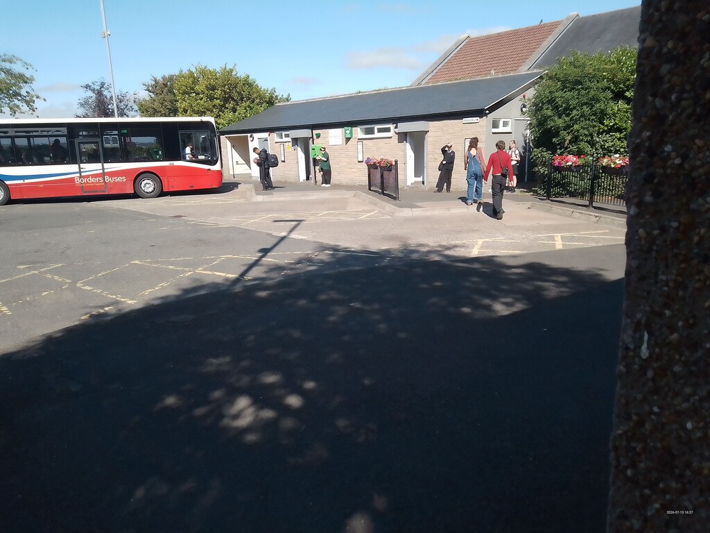
Finally I could see Wooler down below me. This came as a relief as I was flagging. My pack was beginning to rub my back and I wanted to fix it. So, water refill at the public toilets (100m off route at the bus station) and a bit of Vaseline and all ready to go again. With good legs and reasonable supplies left I felt pretty confident that I would finish.
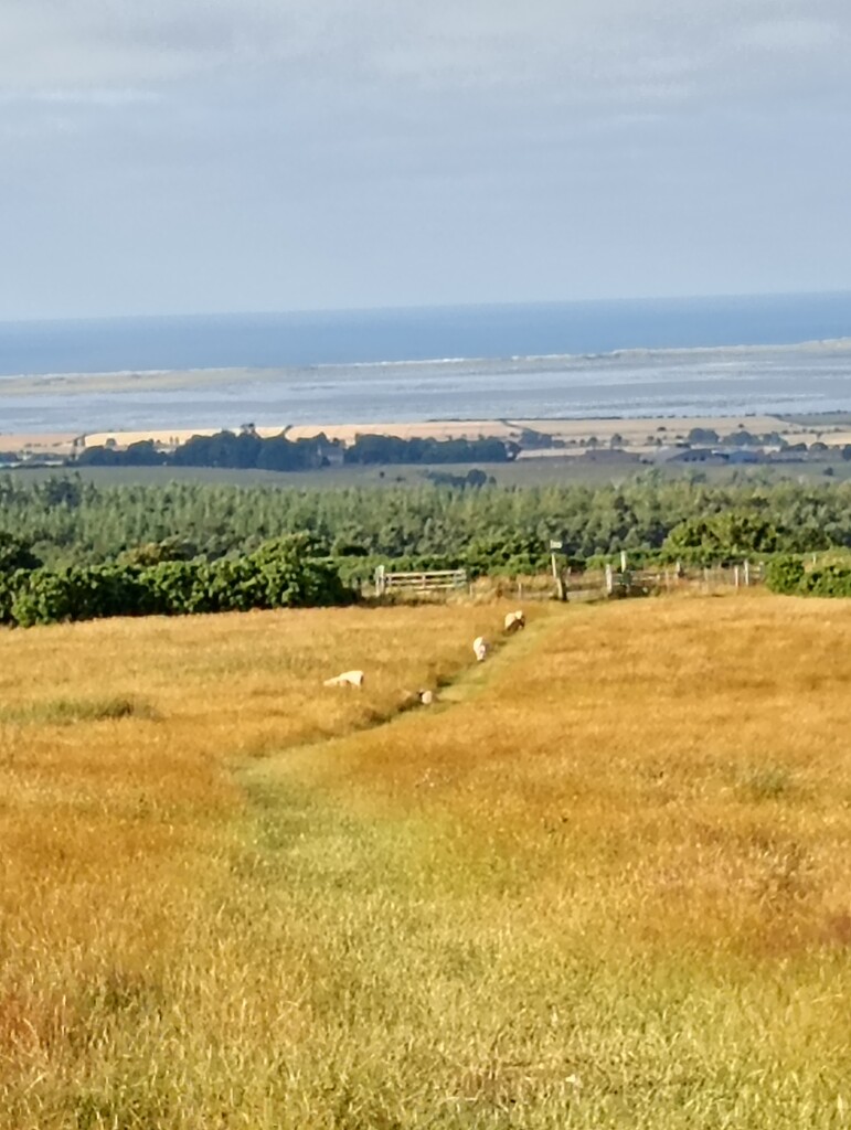
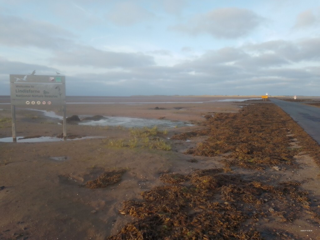
15km passed in a bit of a daze. A few ups and downs but the hills were behind me. And with 15km or so to go, I crested a hill and THE SEA! It looked flat and with a descent to come, it started to feel almost easy. I have tripped over thin air too many times in the past and so I took the descents at a cautious pace rather than throwing myself down them. Across the main railway line and then finally the causeway and a sign for Lindisfarne to welcome me. Now I did not have to keep anything in reserve and so with good legs and a flat track, my last 4km felt like the quickest few km of the whole run ( although looking at the downloaded data I see they were very mediocre!).
There were no cheering fans to greet me at the Priory but I did punch the air at the end, Fortunately no one saw me.
I did the run in early July after a long dry spell. The route was completely dry and if conditions are dry then it could easily be done in road shoes (I did it in Topo Athletic Mountain Racer 3). Running vest was a 5 litre affair and I took 2 x 500ml soft flasks plus 2 x 200ml Capri Sun juices. I needed these for the section from Wooler to the end. I had my head torch but did not need it. I ran in shorts and t-shirt and carried a very thin Mountain cagoule, some bin bags and a survival blanket in case of emergencies.