
02:30am strikes. Cat, Conor (my trusty crew) and I jump start. Over the next 30 minutes water is boiled, stray bags are collected and we bundle into the car.
Conor and I start up Lugnaquilla just after 4am. This first run is The Military - all mist, exhilaration and relentless forward motion. We fantasise about Navy Seals as we move as a unit, faithfully relying on the Irish military firing zone border signs to anchor our direction. We arrive back down ahead of time and dive into the car. 2 banana sandwiches later I pass out.
A 2 hour drive later we bump along the road to the Galtymore trailhead carpark. I chug a double espresso and a few fig rolls to relight the fire. I'm grateful for dry socks. Conor and I start up the trail. Cat watches us prance around the rocks ... "F**k that" she laughs, and turns to make friends with the cows over the next 90 minutes. This second run is The Innocent - a gentle trail that meanders around marsh, finishing with a steeper climb to the top. We don't manage to stick precisely to the trail that Heidi - our Komoot navigator - recommends, but we do alright. After a quick turnaround a new Tinder profile pic for one of us, we skip back down to the car park. Next up, Kerry.
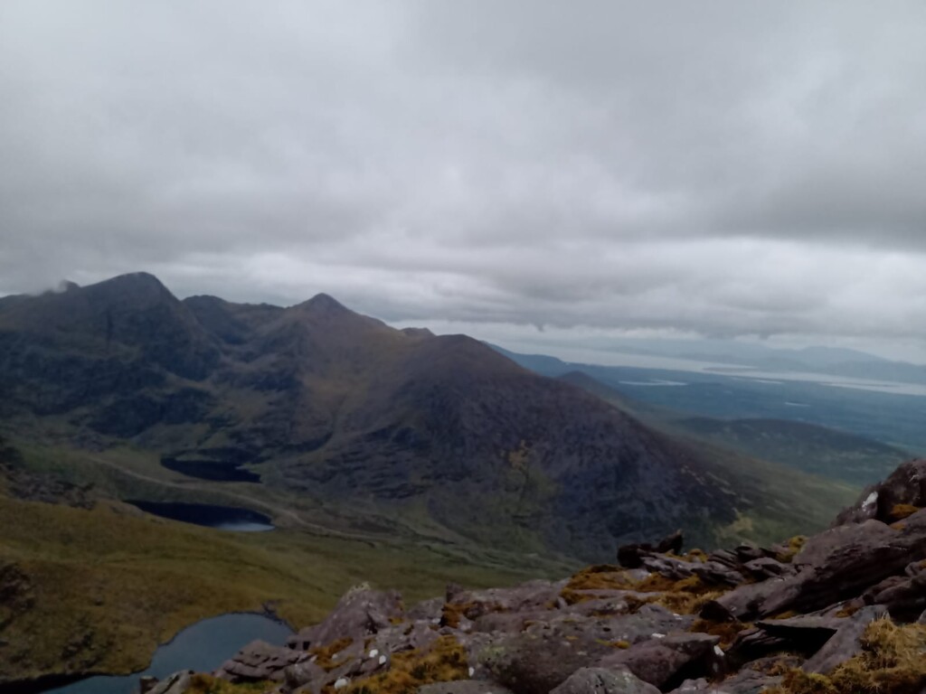
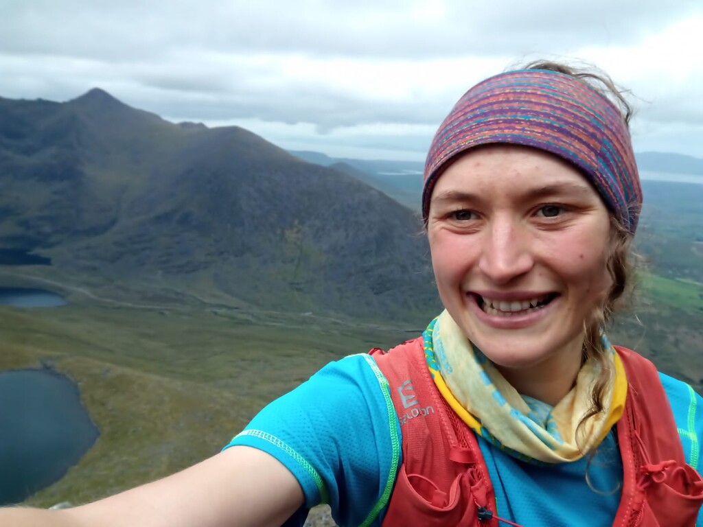
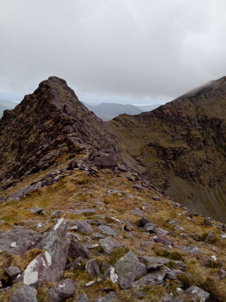
Another 2 hours and Conor wakes me - "6 minutes to Carauntoohil". More biscuits, more espresso. This MacGillycuddy's Reeks run is The Surprise. Following a 100% gradient climb up to Cruach Mhór (the first peak), I assume I just need to traverse the remaining nine. Not so. I inch 1 km in over 40 minutes trying to safely clamber to The Big Gun. I miss the direct ridge crossing to Cnoc na Péiste and ascend again. Now, to stretch the legs. One, two, three, four peaks go by smoothly. Target acquired, I bypass the tourist trail to charge the direct scree-laden route to Caruantoohil, only to descend and later reascend to detour to Caher and Caher West. The predicted time estimate of 3.5hours has come and gone. I bring my attention back to the next peak and shuffle carefully down Carauntoohil towards The Bones. More cautious clambering wins me the ninth peak. Once I hit a reliable path again, I run for Beenkeragh, the last one. On the other side there is no such reliable path. The recommended route takes me up and down, so I opt for the direct trajectory - sideways stepping down rock and marsh, then navigating safe footholds around the river and eventually emerging on the main hikers trail 50 minutes later. Relieved, I accelerate down the path to the car like I'm on a track. I'm grateful for the solidarity of the Irish as strangers cheer me on. A rushed hiker who starts to trot after me enforces the race mindset. I pause only to cleanse my hands of sheep poo with hand sanitiser before running into Cat and Conor. I'm fed more fig rolls and water and assured that they recovered some well-needed sleep before we move on to Brandon. I'm tired now, but I have another in me and Conor promises he will run it with me.
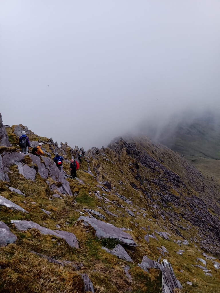
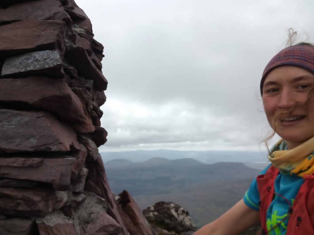
The fourth Mount Brandon run is The Scamper, The Climb and The Frolick. We run/hike the initial gradual ascent, slower now but still moving. I'm grateful for whoever spray-painted arrows along the trail. I voice my confusion that the only big peak in view seems to be a valley away - when Heidi promised me that this was a short and sweet continuous climb to the top. Conor queries passing hikers ("Sorry - do you know where we're heading?"), while I place my faith in the arrows. The real big one comes into view as the path flattens (The Scamper) and we trust that a straight-forward path up to that very high ridge will appear at some point. It does, but we miss it, and move up on fours towards the ridge (The Climb). We've arrived at Mordor and can see nothing beyond the path up to the end. Sketchy climb behind us, we Frolick to the peak, making sure to pass both cross and cairn before obeying Heidi's commands to turn around. Thankfully we find the safe path down this time and take a mental note that it exists for the next attempt. Thoughts turn to campsites and camp fires as pound back down, over the three gates and into the car park. Cat greets us with a grin and a bag of crisps. Job done.
Comments
Total Strava Elapsed Time: 11:08:16
Remainder: 04:41:44
Total Drive Time (Google Maps): 05:21:00
Assuming no stops at a shop or anywhere, and assuming no delays on the road, and assuming no time for gearing up or changing before or after each run, the deficit is 40mins to be made up by speeding. This either included driving 150km/hr down the motorway or the time is calculated incorrectly. Maybe using Strava’s moving time rather than elapsed time. Unfortunately Strava doesn’t show me the time the Brandon hike began, only the date.
Great running, just struggling to make the numbers add up.