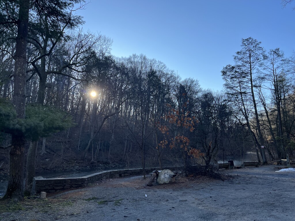

Took advantage of one of the first warm days in months to go give this route a proper effort! Started at 8:36am on the chilly side in the low 40s and ended nice and sweaty in the mid 60s.
I had no stops and no wrong turns, which feels like a miracle. It definitely helped a ton to have done this route back in October, also I had my watch on the map page the entire time. Navigation is a real part of the challenge on this one.
I ran with a vest and went through: 2x 500ml Skratch high carb bottles, ~700ml water in a bladder, 5x Maurten 160 gels (1 every 30 min). That comes out to a little over 100g/hr of carbs which felt great. I filled the bladder a bit over a liter, so finished with some buffer there. Same with a couple extra gels (always feels safer to have extra). I splashed a lot of the bladder water on my face in the second half when it was getting warm out.
My pacing plan was pretty simple minded - don't redline on the uphills, cruise the "flats" at something that feels like marathon effort, and bomb the downhills.
I was pretty confused when I first did this route and ended up a full mile longer than the published FKT (and Strava segment). So I spent a bunch of time comparing previous activities and route files using https://gpx.studio/app (amazing tool btw). I think 90% of the "added" mileage is just messy GPS data from previous years that - you can see some cut corners/curves/switchbacks when comparing. There have also been a couple trail renovations that add distance, but I only see +0.13mi total from those. Worth noting here though in case you attempt to follow an old route file (mile markers from my activity, difference my activity vs fkt site route):
- 7.72mi, +0.09mi - trail changed to zig-zag/loop around a bunch instead of a straighter path
- 8.34mi, +0.04mi - trail takes a big zag to the right instead of going straight
This is the route file I navigated with https://www.strava.com/routes/3466127336282132066. It has the new trail renovations, and I traced it all on to the basemap to get rid of any GPS chaos from previous recordings. Maybe it will be useful to whoever comes next!
Huge thanks to Preston Thomas for creating this route, Brian Wiest for setting the time to beat, and Matt Ferry for introducing me to the route last year.