
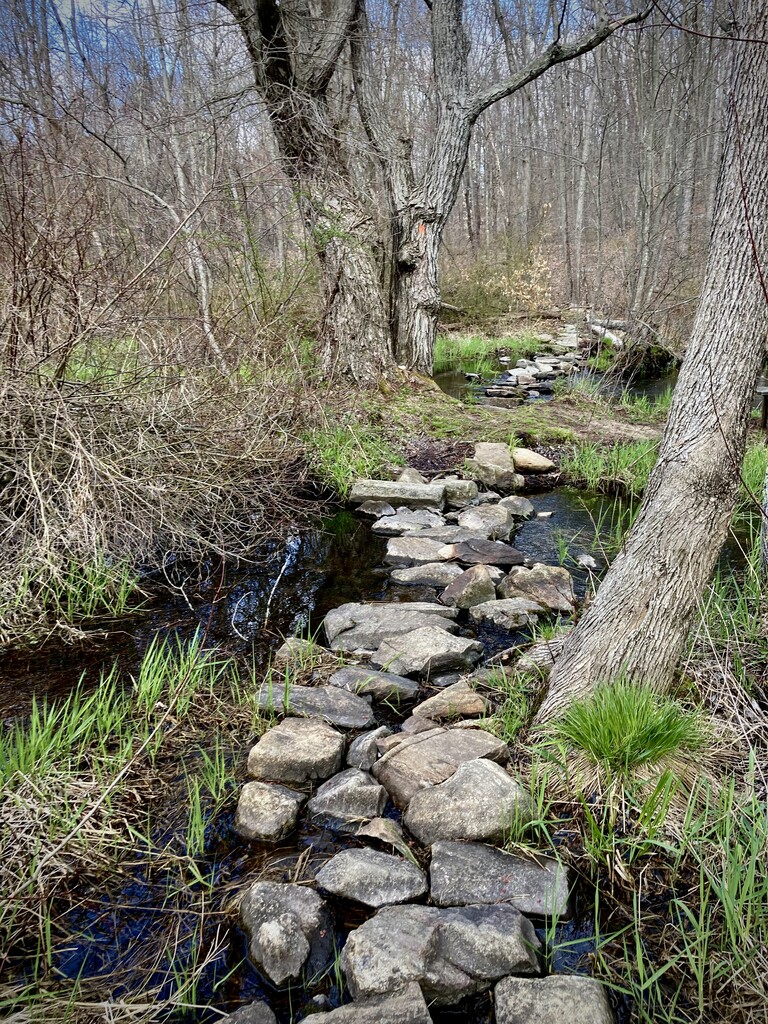
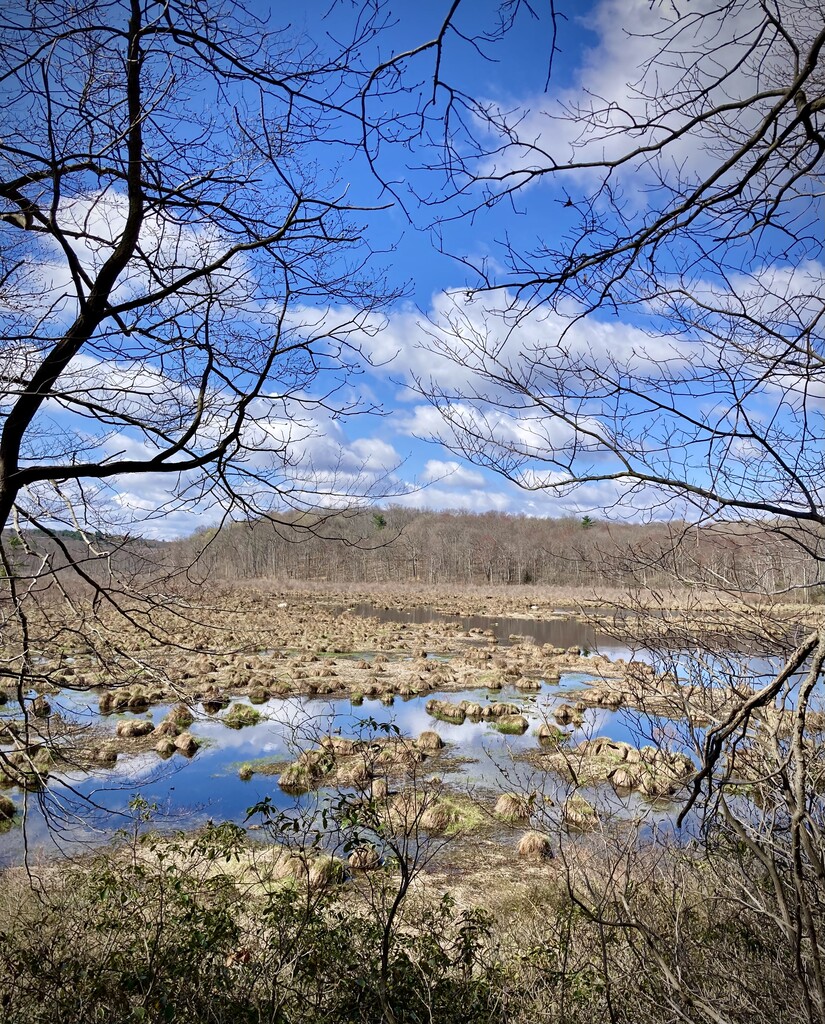
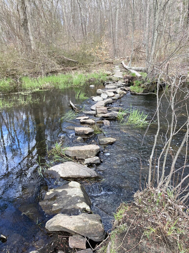
Saw this new route on the FKT website. Seems like more of these are popping up in the area, which is awesome! Thanks to route creators and previous FKT holders, Nickita Alexiades, Ryan Mabey for making this loop and to Aaron Carlisle for setting the previous FKT. This is actually a very nice, 100% runnable, and very fast trail half (+). I've ran a few times in Wawayanda before with my trail buddies, including a 50K race and so was pretty familiar with the area. I've done most of this route in pieces. The first 10 miles are super nice and features smooth single track, some rock gardens, boardwalks, plenty of roots, wood roads, stream crossings, and some mild climbing. The trail starts from the Warwick Turnpike with a short section on the Appalachian Trail before it turns left onto the blue blazed trail. This section features some nice single track with Mountain Laurel / Rhododendron on both sides creating a tunnel effect. Must be beautiful when in bloom. After this, there is a good stretch of fire road until you get to the Wawayanda Lake. When you make your way onto the orange trail that goes around the lake, you may run into a few mountain bikers. This is a popular area for mountain biking since there aren't any major climbs. You get some beautiful views of the lake as you run along it. There is a really cool rock bridge that crosses a very wide stream. Luckily, the rocks were exposed despite the recent rains and the crossing was easy. I've hit this section in the past, where the water was six inches above the rocks and there was no way of staying dry. Today was not it, though. The trail conditions were great. I was expecting a ton of mud and some areas totally flooded out, but that was not the case. Weather was perfect as well. It was in low to mid 50s with lots of sun and puffy white clouds. Actually, got pretty warm in the sun which was bit concerning since I didn't bring any hydration or nutrition with me. I didn't feel like I was pushing too hard until I took a look at my watch, which was in map mode (first time trying it...user error...didn't see the map, just the arrow). I switched it to time and pace and notice that I was pushing sub 8 minute miles through the first 6 or so miles. Naturally, I thought that was too fast since my goal pace was sub 9 minute miles, so I dialed it back a bit. I have a tendency to come out way too fast and crash 3/4 of the way through. There was a section of tight switchbacks that naturally slowed me down, but since I felt good I picked up the pace again once I was able to establish a good rhythm after this section was done. There was a moment of confusion when I got to end of orange by the main parking lot. Eventually, I found the entrance and continued on the fire road (blue trail) all the way to the finish, where it crosses the white Appalachian Trail. This section begins flat, but then has a few decent climbs...right at the end, lovely. I was trying to push up the hills a bit since I thought I was closer to the finish than I actually was. I know GPS is sometimes off, but mine almost ended up closer to 14 (13.91 miles) than 13.5 miles. lol In any case, it was a great day on the trails!