


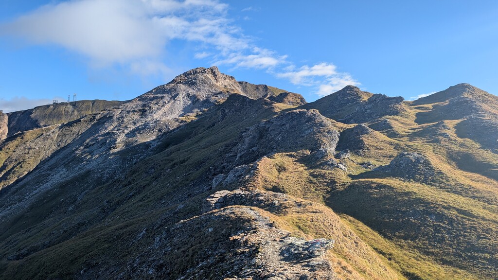

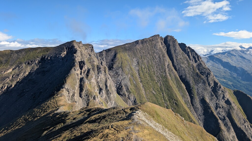


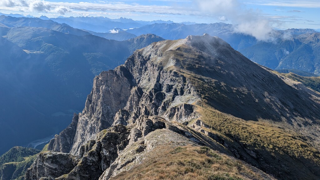
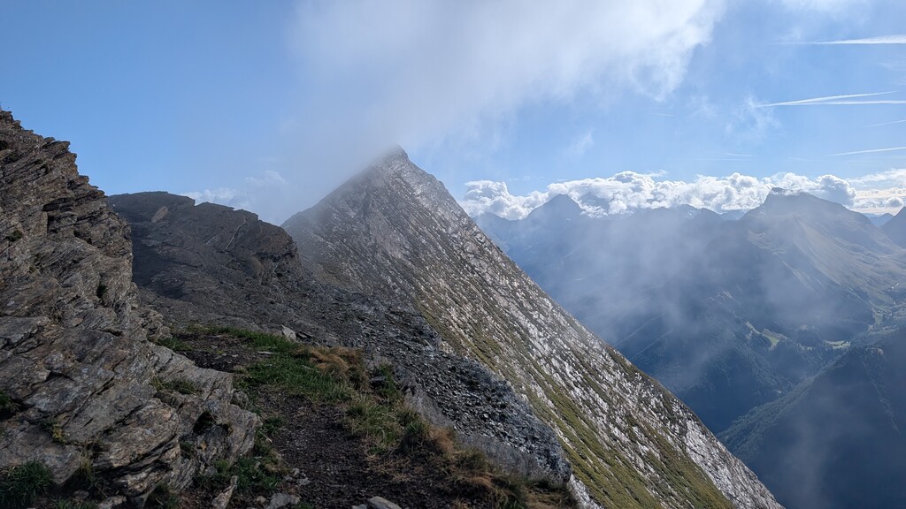

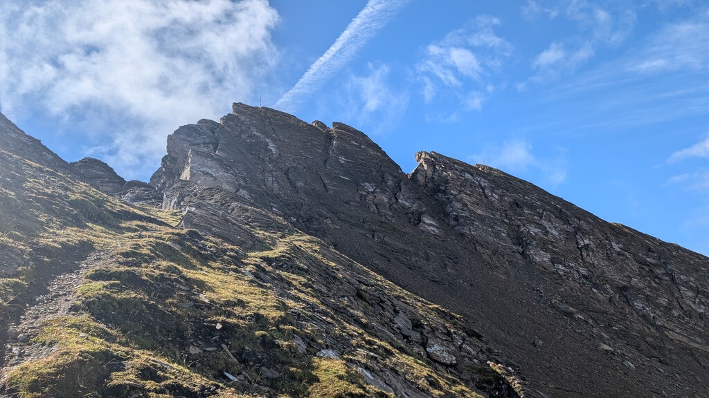

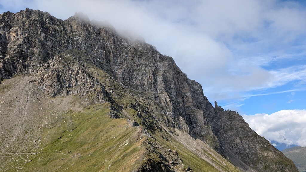
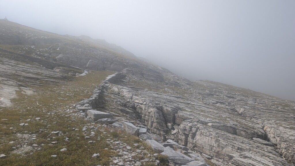
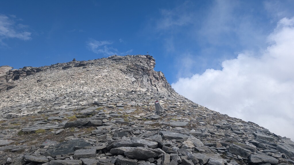
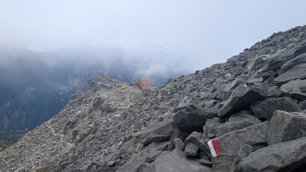

The start up to Saun went well, got chased by a dog and missed a turn, but nothing unusual. Weißspitze is a fantastic summit, no problems there.
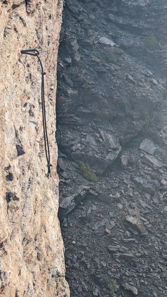
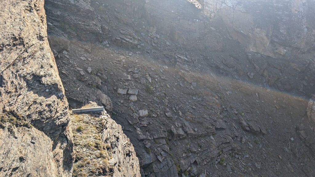
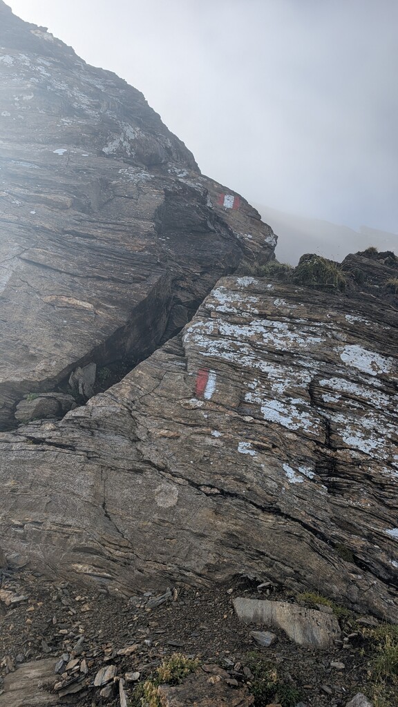
The first major problem showed up on Amthorspitze - the current FKT GPX *is incorrect and dangerous*. The route there is completely gone! It looks like there used to be a bridge (the metal support structure on one side is still there), but that bridge is gone probably swept down by an avalanche or mudslide. There also remnants of steel ropes, but most of them are gone and going that way I would highly discourage - really dangerous. Instead, you need to go back down and use the other marked path. In fact this is clearly marked with an arrow, and the path in the FKT GPX is blocked off by a rock plate - so without that GPX it's pretty clear where to go. Turning back and around cost me probably 10 minutes, so this can definitely be done faster in the future if the GPX is corrected. Checking OSM data that path also no longer exists there - I am not sure how the author came up with that route, the source must be quite old.
Anyway, the next obstacles came at Rollespitze, which I would consider the hardest part of the route (crux). This is probably in part due to the conditions I was facing, rocks were covered in a layer of rime ice, making climbing passages which are usually trivial quite risky. The route finding on the descent on the northern side is also quite tricky. It is very exposed up there and there are no steel ropes.
Once that part is mastered, the descent goes through the east flank. Here on the crossing of the eastern flank it is advised to watch out for goats, which live up there permanently (the place is called Gamsgruben - goat pits). While I was passing underneath, one goat kicked loose a rock about 30cms in diameter, which flew straight past me across the trail, fortunately in a safe distance. Despite the markings on that map and several days of rain before my attempt, no water flowed here (the lack of water is highlighted in the route description as well).
Then across Flatschspitze (not very notable, it's nicer in the winter), and over to Wolfendorn. On the winding road up there I was lucky to find a small stream flowing down the road, enough to fill my water reserves. Up to Wolfendorn and back down, then across towards Wildseespitze. The terrain changes a lot here, and it's quite interesting. From here you are on the border between Austria and Italy, marked by a lot of border marking stones, and the trail is quite nicely maintained initially, almost like a road. Then you get into blocky terrain on the way up to Wildseespitze, some nice easy climbing, the critical parts are well secured with steel ropes.
Then past Europahütte (currently closed, so no support or water there) and the long way towards Kraxentrager. At this point my water reserves were dwindling, so I was really looking forward to that mentioned stream at km28. It was in fact there - it's near the springs that Europahütte also draws its water from as you can tell by the pipes they set up.
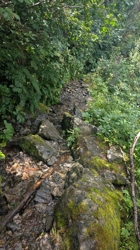
The final downhill is not to be underestimated - it's quite technical almost all the way down, only the last 3km from Venn to Brenner are an easy forest road. On top of that the path is not well maintained, and there were several long sections where the entire path had to turned into a stream and you have to walk beside the path. There were also quite a few cows right on the path which I had to dodge.