Starting point: The train station in Sterzing/Vipiteno
Ending point: The pizzeria Terminus right at the border of Italy and Austria
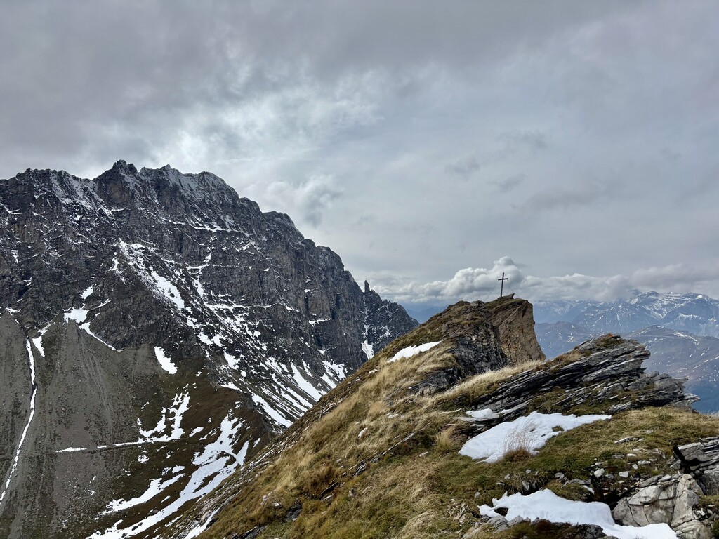
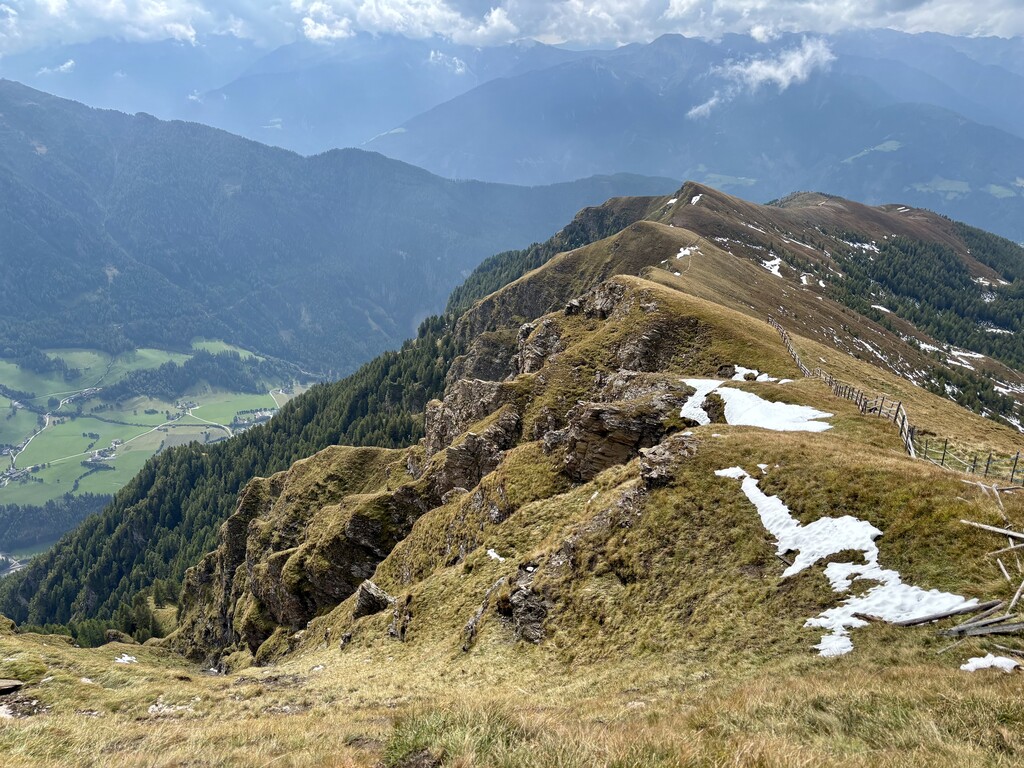
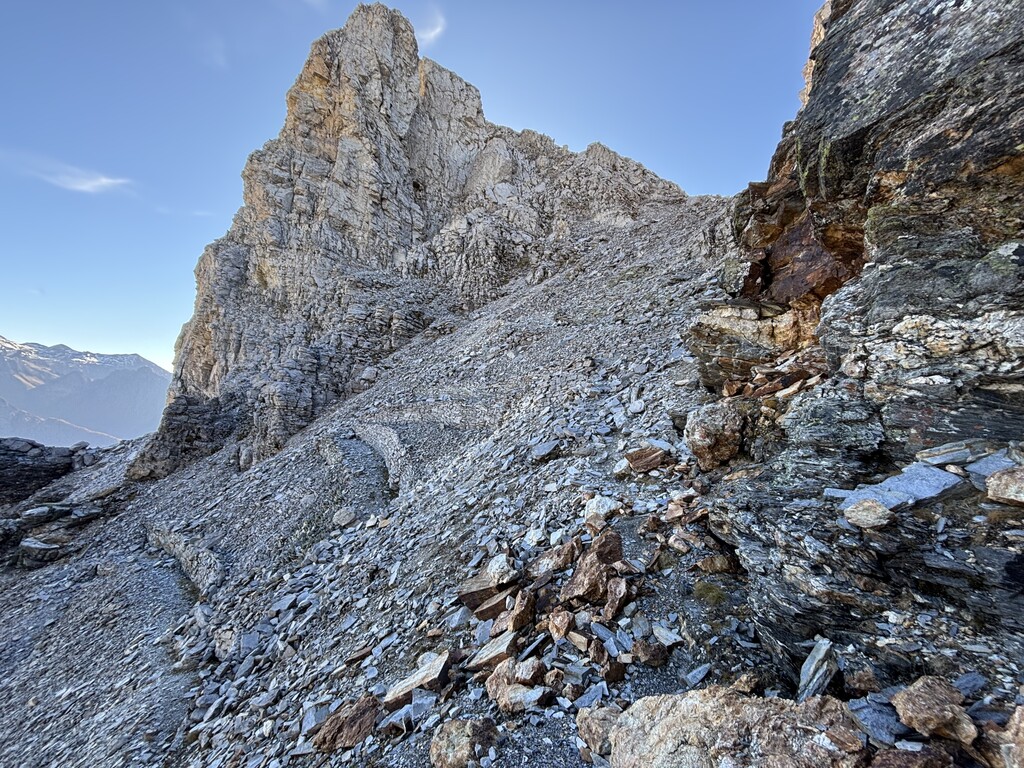
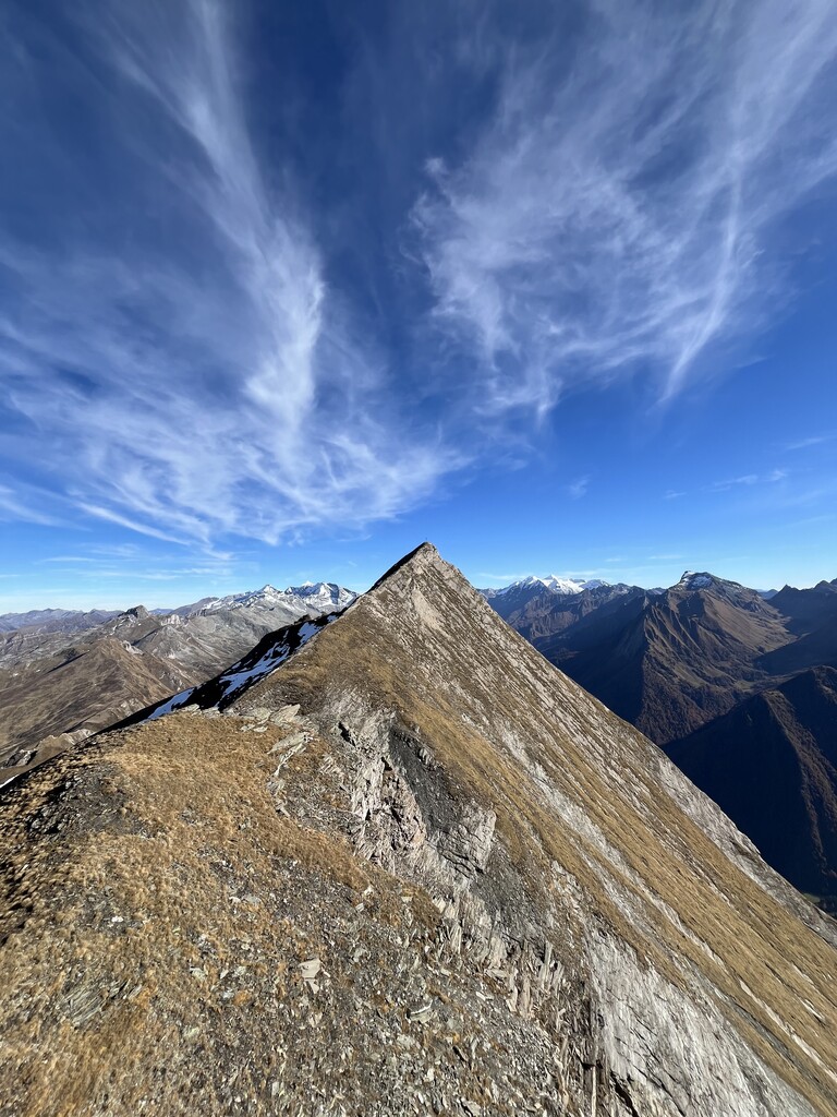
The route follow the logical path of the ridge between the Wipptal valley and the Pfitsch valley. It covers about half of the ridge "Tuxer Hauptkamm", itself part of the Zillertaler Alpen. Climbing Saun, Riedspitze, Weißspitze, Amthorspitze (Hühnerspiel), Rollspitze, Kalkwandstange, Flatschspitze, Wolfendorn, Wildseespitze and Kraxentrager (being the highest point at 2999m) in the process. After Kraxentrager the trail does not continue on the ridge hence the routes then goes down to the Brenner pass. Roughly 6 km directly follow the border between South-Tyrol, Italy and North Tyrol, Austria and thus lie on the Alpenhauptkamm. The trail is mostly hike- and runnable, some spots require easy climbing and/or are secured with ropes. Routefinding can be challenging, as the route is not particularly popular.
There are almost no water sources to be found on the route, with a fountain at Braunhof at KM 4, and Europahütte at KM 24 (if open). There's a stream that can be found at KM 28, and supposedly also a natural fountain somewhere around KM 6.5 (according to local farmer).