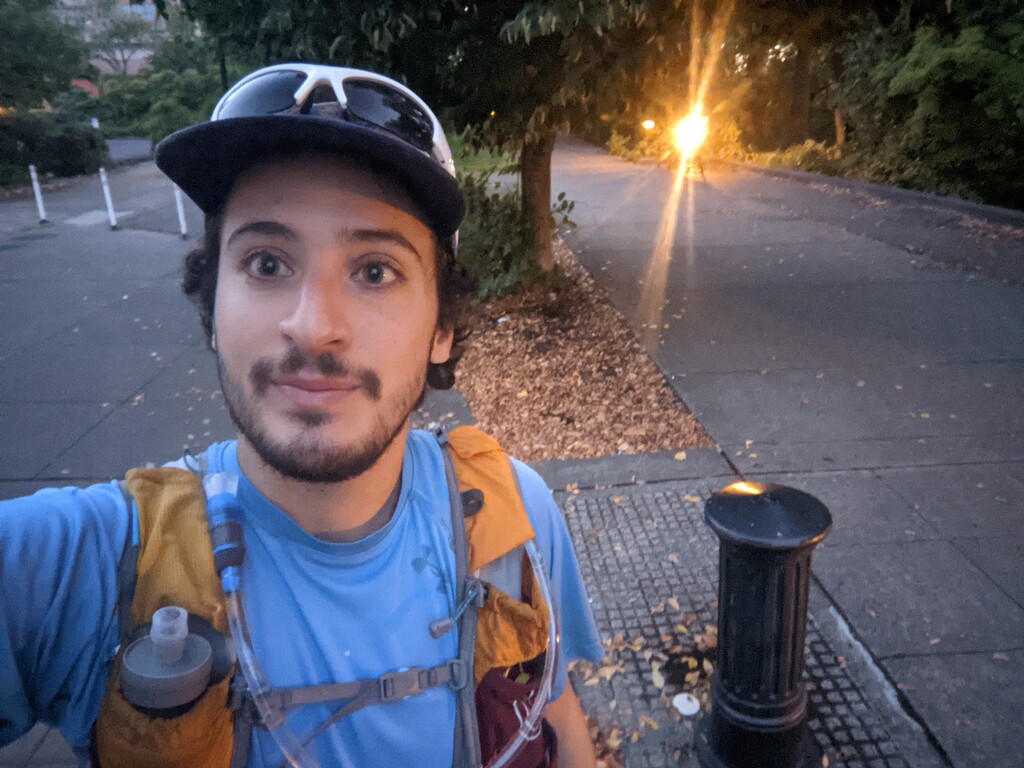


The way out was unsupported (though I did eat some blackberries). The day started off rough. I slipped off my bike pedals en route to the start and the cog punched a bunch of holes in my calf. I lined up with Mosi’s trackline and started the run at the metal post visible in my start and end photos.
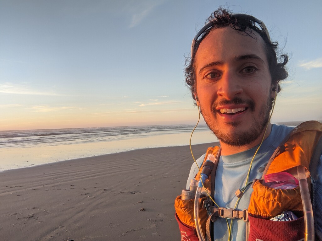
This was my first time on this variation of the trail, and I was surprised to find so much pavement after the turn off from Big Elk Campground at mile 31.4. Fortunately, the other side of that climb is unpaved. Around mile 40, I noticed I was within reach of Mosi’s time. I tried to pick up the pace and really enjoyed the final few miles to the coast. I touched the ocean at 11:44:03, around sunset. A bikepacker from Eugene with a dog in a basket finished a two-day ride of the trail shortly after me, and we took a moment to celebrate. I mentioned the surprise of the pavement and he responded that all the gravel was hard on his dog, and they had spent many miles walking the bike.
I met up with Austin and Liesl and spent an hour repacking and refueling in their warm car. Austin and I set out around 8pm. I spent most of the way back waiting for a second wind that never turned up. A slower pace and better fueling on the way out probably would have helped some. We stopped so I could sleep three times in 15 miles. Austin gave me his extra food and water and at one stop offered to lay on me for warmth. At Shotpouch Creek (mile 92.7) the sun came up and Austin took off to meet Liesl at the North Ridge Trailhead. I fell asleep two more times on the way back: in the moss before the North Ridge Trailhead and in the Starker Arts Park, 2.5 miles before the finish.
Running from mid-valley to the coast is inherently cool. I’m looking forward to seeing what others can do on this route. The whole thing is runnable. I’ll probably return via bike to cleanse my palette of the bad memories from this go.
Note on Water
I started with 2.5 capacity and refilled once on each leg. I presume carrying less and filling up more would be faster. Here’s the accessible (not too overgrown with blackberries) water spots. Geotagged photos on Strava map:
- Mile 5. There is a promising looking spigot here in Newton Creek Park, but it was turned off on October 2nd, 2021.
- 20.5
- 23.1
- 30.4
- 40.6
- 42.4
- 47.8
- 52.5 (from here to the coast the trail parallels Beaver Creek. Lots of water access until Mile 55 when you start to get into the intertidal.
Comments
Great work, Benjamin! Super stoked you got out there, did the out, and flipped it for the back! Look forward to our trails crossing in the future!