
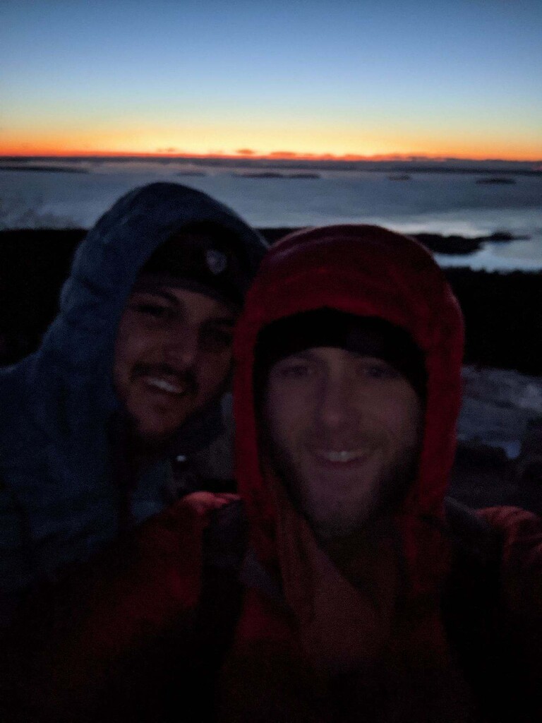
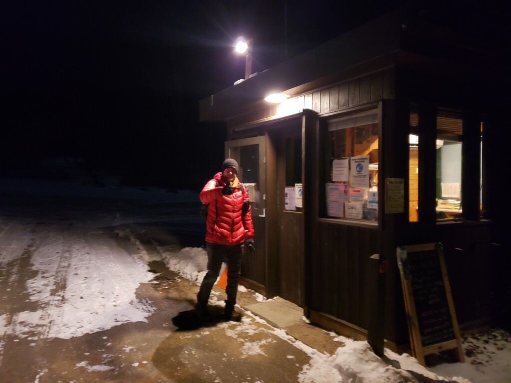

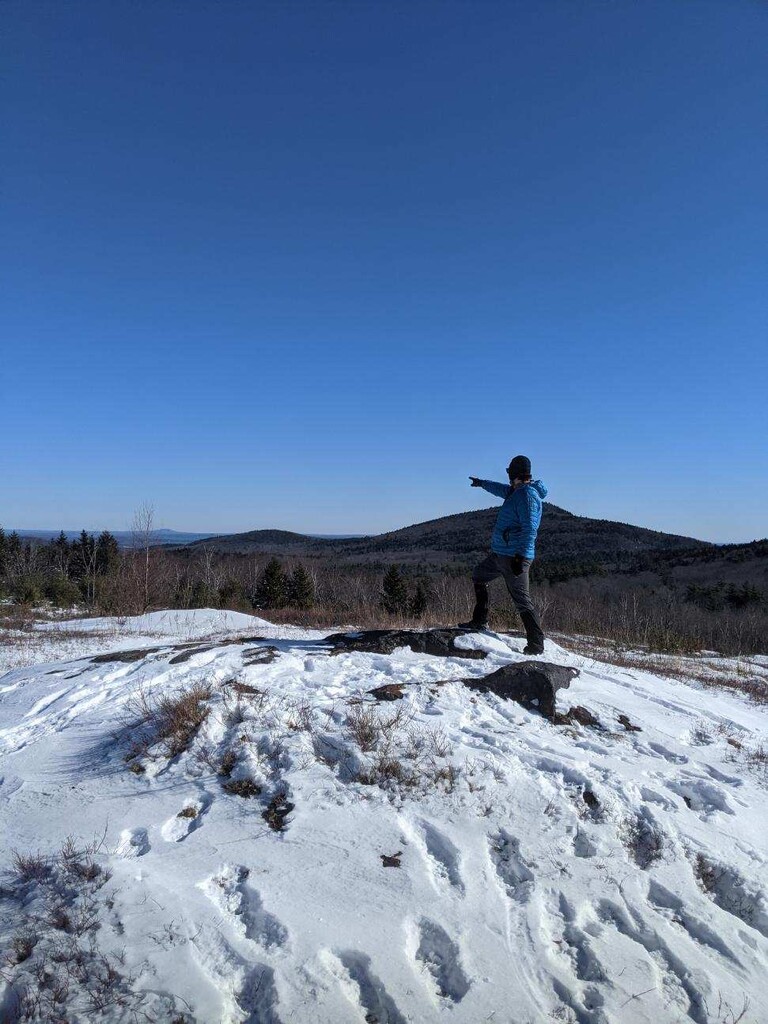
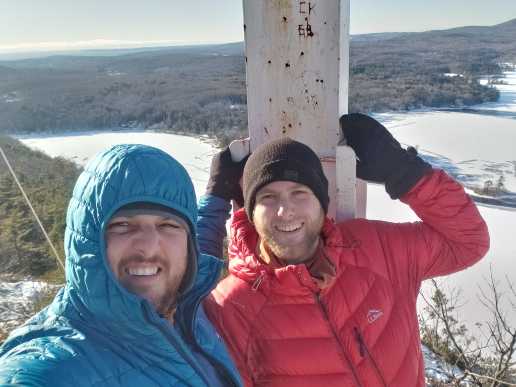
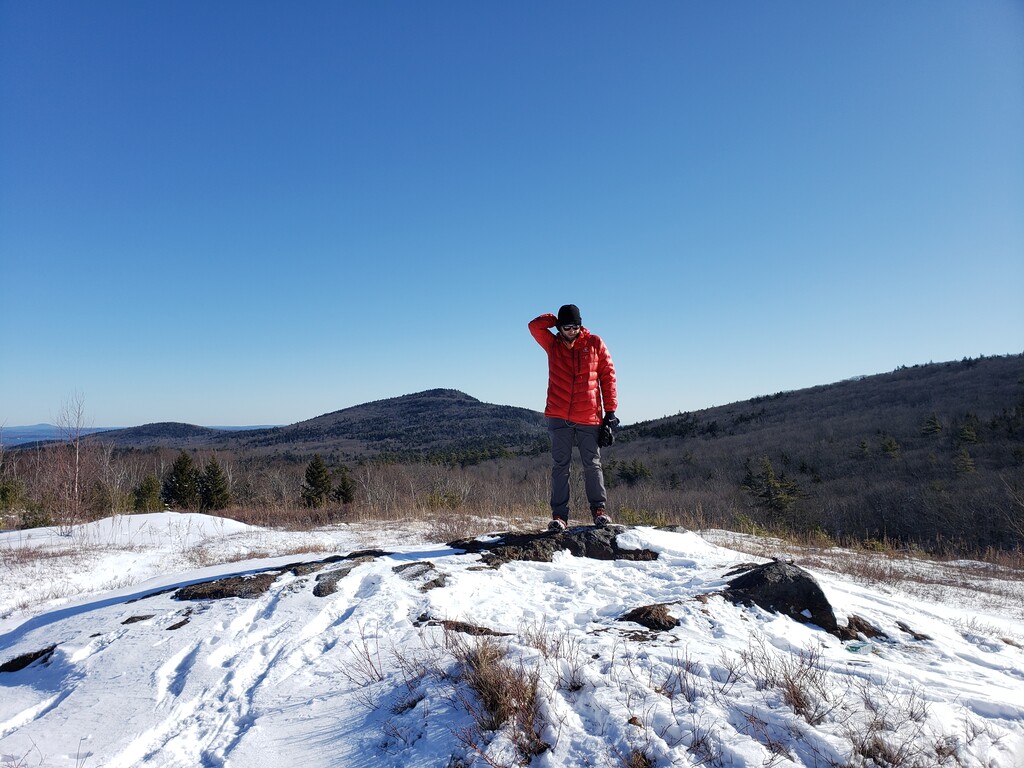


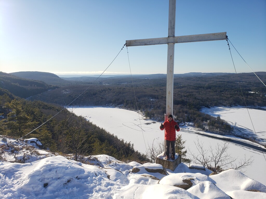
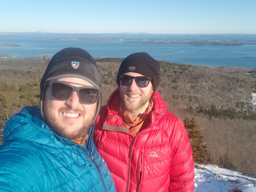


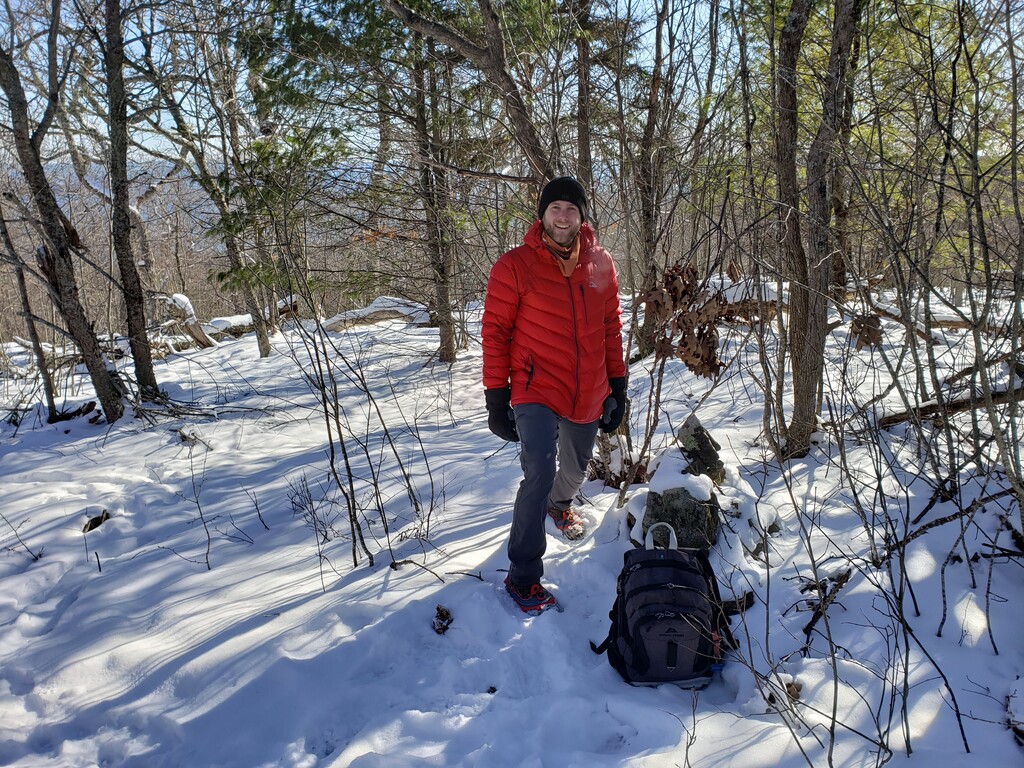
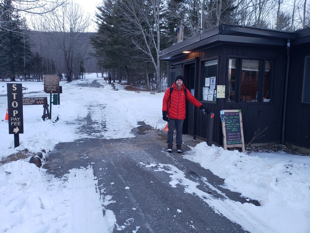
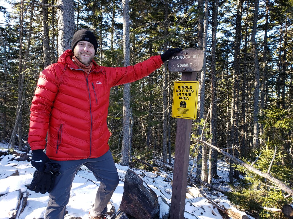

This is being submitted kind of late for no other reason than laziness (I've tried to submit a few times already but haven't completed the process and had to start over). My best friend Sam Collins and myself (Ben White) hiked the FKT route at Camden Hills State Park on January 31, 2021. We started at 5:14a.m. from the State Park Entrance (rt.1) and ended at the same place at 4:36p.m. on the same day. The official time on my GPS app is 11hours, 20 minutes and 21 seconds. We first hiked up the Nature Tr. to the Tableland Tr. to get to the tower on Mt. Battie. We climbed the tower before the sun broke the horizon but got some stunning early morning views of the Penobscot Bay. (The pictures submitted from this summit are the worst ones as it was very dark. Let me know if you need other pics or a video from here). We quickly headed back down the Tableland Tr. and took that to the Ridge Tr. which brought us to the summit of Mt. Megunticook (our highest point of the day and the highest point on the eastern seaboard of the US)! Continuing along the Ridge trail we went to the big cross on the Maiden Cliff which has some of the best views in the park, looking down on Lake Megunticook and over at Ragged and Bald Mountain. From there we headed back a bit on the Ridge trail from where we had just come to get to Zeke's Tr. which brought us to the Cameron Mountain Tr. and eventually the summit of Cameron Mtn. After summiting Cameron Mountain we continued along the Cameron Mountain Tr. which bring you to the junction with the Ski Shelter Tr. where we had to decide in which order we would do the remaining 3 peaks. We opted to go up the Frohock Mountain Tr. which brings you right over the summit of Derry Mountain and eventually to the summit of Frohock Mountain (the farthest we would be from our starting point). We then went back on the Frohock Mountain Tr. (and thereby back over the summit of Derry Mountain) until it intersected with an "unmarked path" that takes you up the North side of Bald Rock Mountain. After summiting Bald Rock Mountain (our last summit of the day) we headed down the Bald Rock Mountain Tr. where it intersects with the Ski Shelter Trail. We then walked the 4 miles back to the State Park entrance going South on the Ski Shelter Trail.
Sam and I had been very roughly planning this for a good 6 months or so. We found out about FKT very randomly and were looking at some of the records held in Maine when we noticed that nobody had set an FKT for the Camden Hills State Park route. We both grew up about an hour from this place and have been hiking in this area our whole lives. We are avid hikers, but by no means would we consider ourselves 'endurance athletes" or anything like that. We enjoy going for lazy day hikes mostly. But we have done big miles in a single day before, and we knew the terrain well enough to know that this route wouldn't be that crazy to do in a single day. We thought it would be fun to see if we could do it at our leisure in a single day and still get credit for an FKT. We went to the State Park twice in the weeks leading up to our FKT attempt to hike a few areas of the park that were a bit less familiar to us and to just scope out what we'd be dealing with as far as snow, ice, water, terrain. We certainly could have waited for better weather later in the year, but the thought of being being the first people to hold the FKT for this route was weighing on our minds, so we went for it in the middle of Winter! (Lord knows the only way either of us will ever get an FKT is by being the first to do the route!) We have absolutely no doubt that this "record" will be beat (if it hasn't already) many, many times. We intend to try to beat our own record this year in better weather than what late January offered. I'm not sure we would have ever thought to attempt this route in Camden Hills State Park had we not found out about it through FKT. And now we even want to do it again! Silly us. We also have redlining the park in a single day on our list now too! If we get recognized for this FKT, we hope we can inspire "regular people" (aka not super human athletes) to get outside more and push their limits physically and mentally.
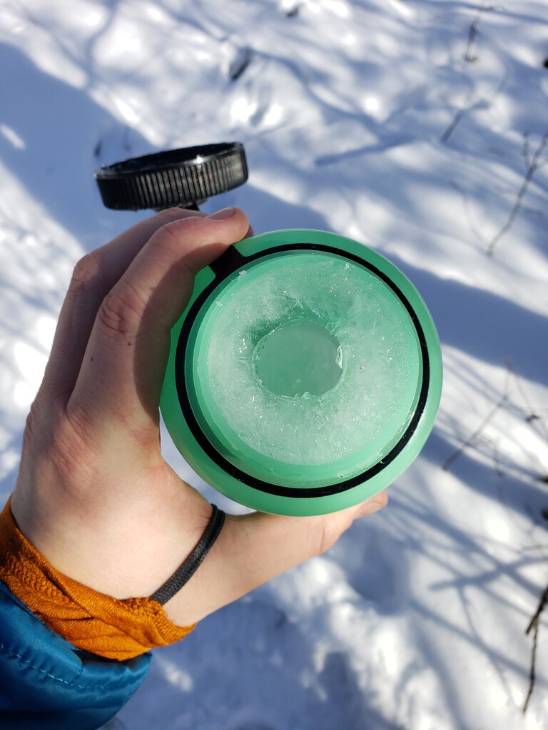
We do think this route could be considered for a separate Winter FKT given it's length and geographic location. That being said, for late January in Maine, the weather and conditions weren't THAT bad. It was very cold. We started in about 0 degrees F and it didn't get much higher than 20F all day. We had early issues with our water bottles freezing up, but otherwise we were dressed and prepared for the cold. Luckily is was blue skies and sun all day with minimal wind ( there are only a few places on the whole route where you aren't protected by trees). There hadn't been a lot of snow accumulation in January up until that point, but we were walking on a lot of ice most of the day which limited our pace a bit.
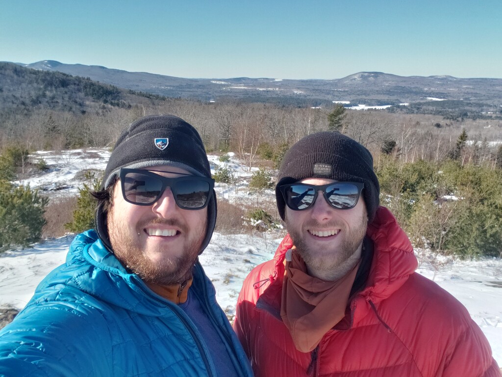
Our day went very well. We were pretty wiped at the end of it, but having done 19 miles and make it back before sunset, we were pretty stoked. We had no major falls or injuries. We didn't run out of food or water or push ourselves so hard that is wasn't fun. We walked at our normal pace for 19 miles in the beautiful hills of midcoast Maine and hopefully now have a record to show for it! Cool!