Having used the FKT site for a while to look for interesting routes to explore the UK, I stumbled across this while staying with my parents in Cornwall. On mentioning it to them, it turned out they had hiked the route a few years ago and were happy to act as a taxi service from the start and finish line (which is very lucky as getting back from Looe using public transport would have taken longer than the run itself).
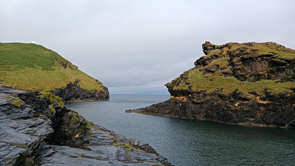
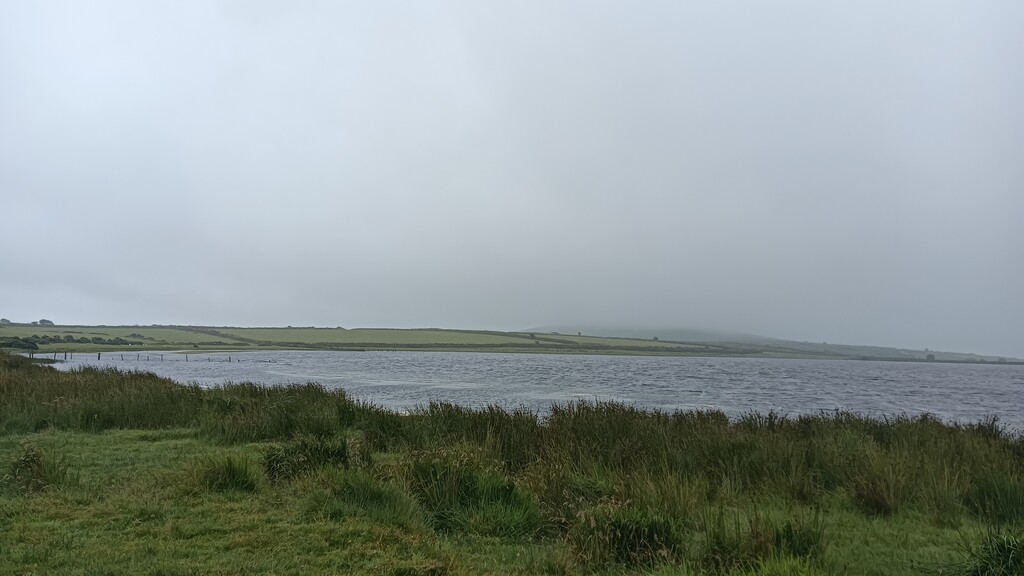
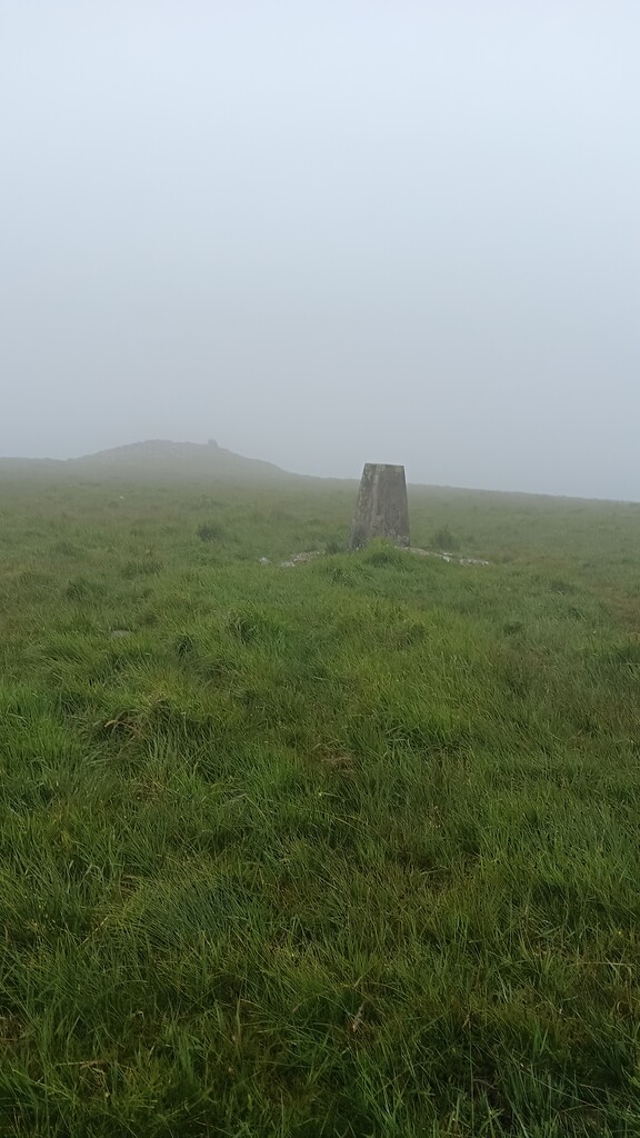
Tuesday 9th July turned out to be a wet, misty day. While it was dry when I set out from Boscastle harbour, the path along the river was quite muddy after a wet start to the summer. The closer I got to the moor the rainier it got. Once on the moor, the visibility was pretty terrible. I would definitely recommend having a compass and bearings noted down, especially if unfamiliar with Bodmin Moor, in case of GPX failure. The guidebook, written by Frank Squibb, has all these written down for you. It is worth mentioning that the route in the guidebook and the route in the GPX file differ slightly. For example, coming across Davidstow, the guidebook only requires you to continue along the road to New Park Farm if you require camping. Otherwise it tells you to cut across the Moore to Lanlavery Rock. At this point, as visibility was poor, I followed the GPX file, hoping it would be easier to follow.
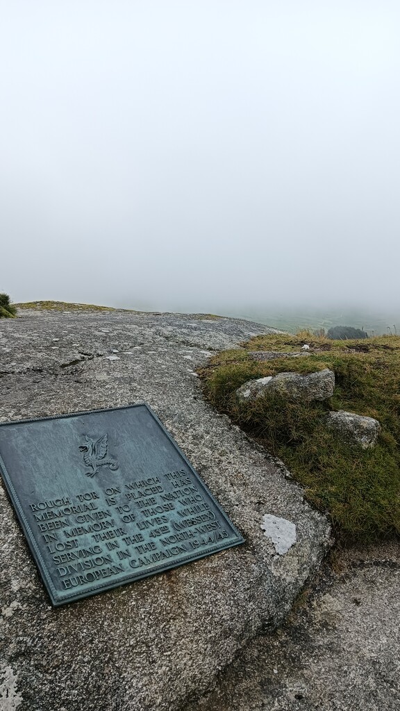
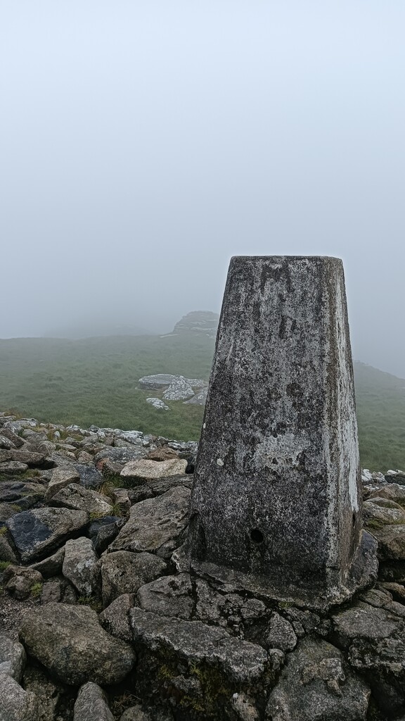
Similarly, the routes coming off both Roughtor and Brown Willy on the GPX file were not good. There are much better routes of both. To get off Roughtor it makes a lot more sense to double back and get to the saddle between Roughtor and Little Roughtor before heading down. From the summit of Brown Willy there is a descent a lot closer to the summit than the one in the GPX. I would definitely recommend considering these instead of following the GPX file to the letter (as I did at this point) as the terrain here is nasty and the risk of serious injury while scrambling over granite boulders is high.
Similarly, after Brown Willy, when following the route over Catshole Tor, the GPX file is a bit off and would have you on the wrong side of the fence. At this point I started primarily following the guidebook and maps, rather than the GPX file.
From Tolborough Tor to Brown Gelly, both maps and GPX were more or less in sync. After Brown Gelly it should be noted that both the guidebook and the "official" FKT route are now out of date. The route would have you follow tracks to the east of mica fan and the china clay works, however this is now (I believe) private land. An update to the route cuts west towards Lord's Park Farm before heading south past Whitebarrow Farm and following the Two Valleys Walk, cutting through Periock Wood, before rejoining the route at Lower Trenant.
The guidebook also contains an update concerning the section near Dobwalls: "Please note that since the construction of the Dobwalls bypass the route of the Smugglers' Way across the fields by Havett Farm is no longer practicable." It gives the alternative road detour, which I followed. However, on passing the path where footpath should have rejoined the road, there was a stile, so perhaps this section is navigable again. It might be worth double checking, as the road is not ideal - no pavement, but wide enough for people to feel they can drive fast.
The rest of the way was easy enough to follow (I was using the guidebook entirely by this point), the only point I would say is that the "tennis court" at Scawn Mill isn't a tennis court any more, so don't keep going in the hope you find an actual tennis court!
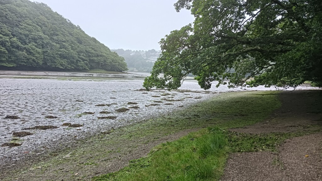
At Kilminorth Woods the guidebook says, "enter Kilminorth Woods along a waymarked riverside path". Not seeing any signs for the Smugglers' Way (there had been a few the closer I got to Looe, but there are none for the majority of the route), I followed the most obvious path. As it turns out, this is the low tide route. There is another route that goes higher and is the "official" route. I imagine so that people don't try and navigate the low tide route even when the tide is high. It makes little difference to the distance covered, but does add a bit more elevation to take the high tide route.
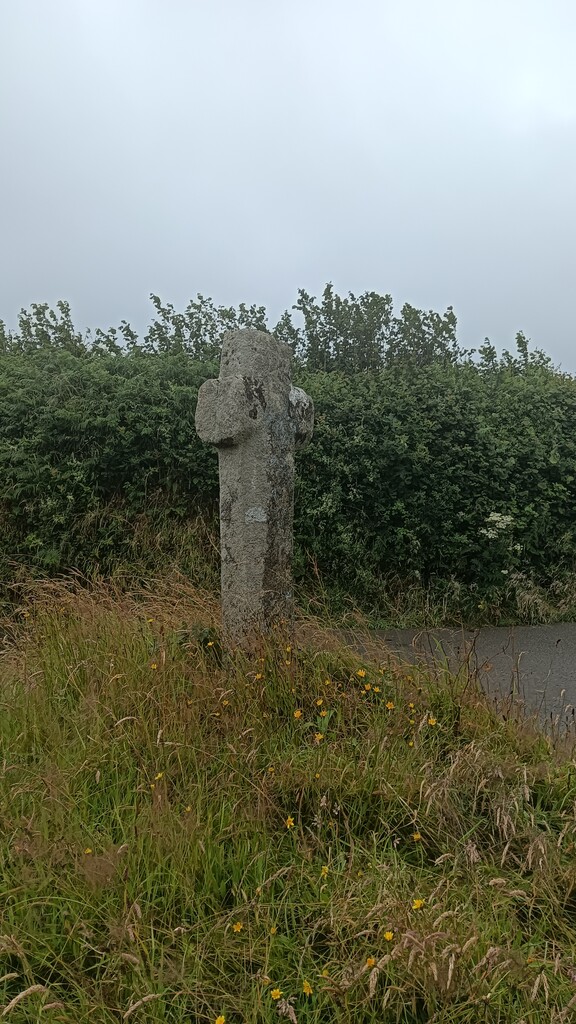
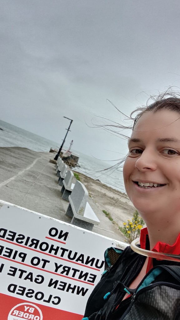
Banjo Pier is the official finish line, to be exact the red marker at the end. However, if it is closed Frank Squibb recommends dipping your toes in the sea instead. So that is exactly what I did! All in all, it was a lovely day out. The moorland section was a bit miserable due to the weather, but I have lived in Cornwall long enough to know that that's always a possibility and I do love the openness of the landscape. The section from the Celtic cross (south of Dobwalls) to Looe was undoubtedly my favourite. The woodland was stunning (and it was also a bit sheltered from the rain). While the detour coming off Brown Gelly meant more time on the road, the path across the downs and through Periock Wood was absolutely wonderful. I definitely recommend starting early so you can be sure of their still being pasty shops open when you finish.