
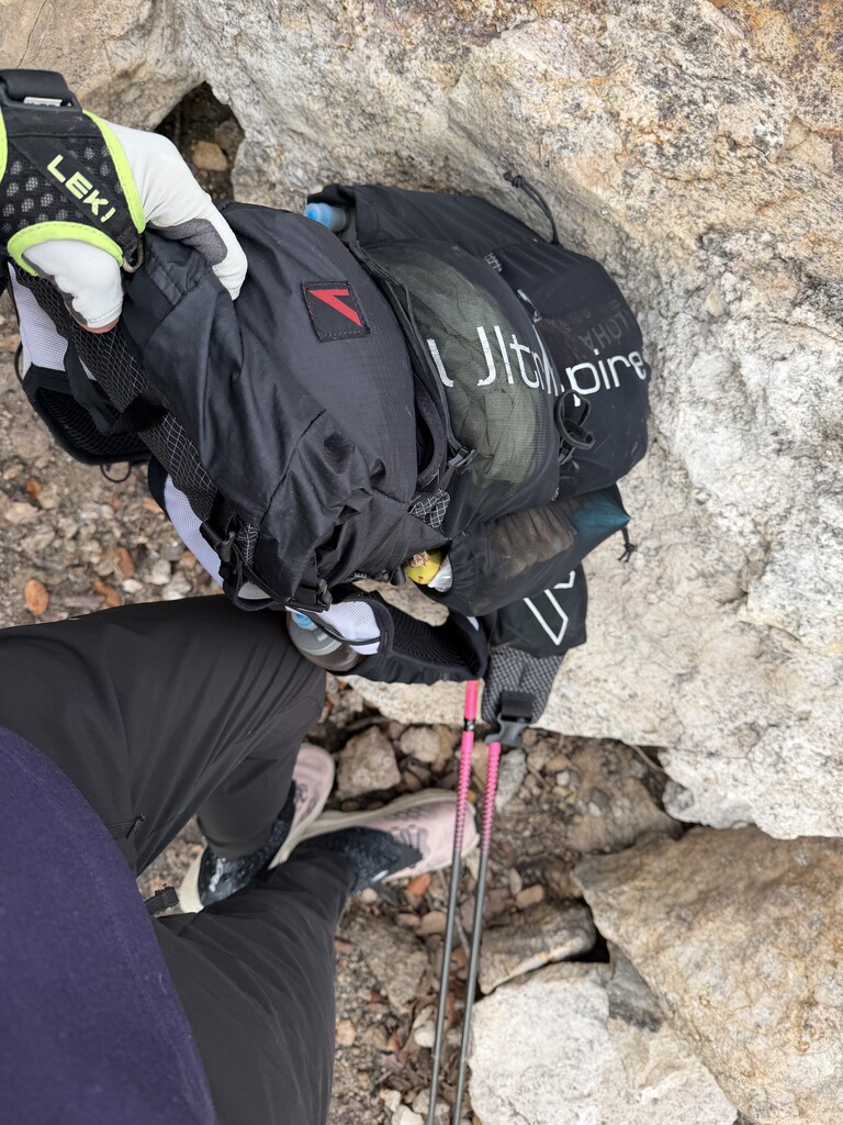

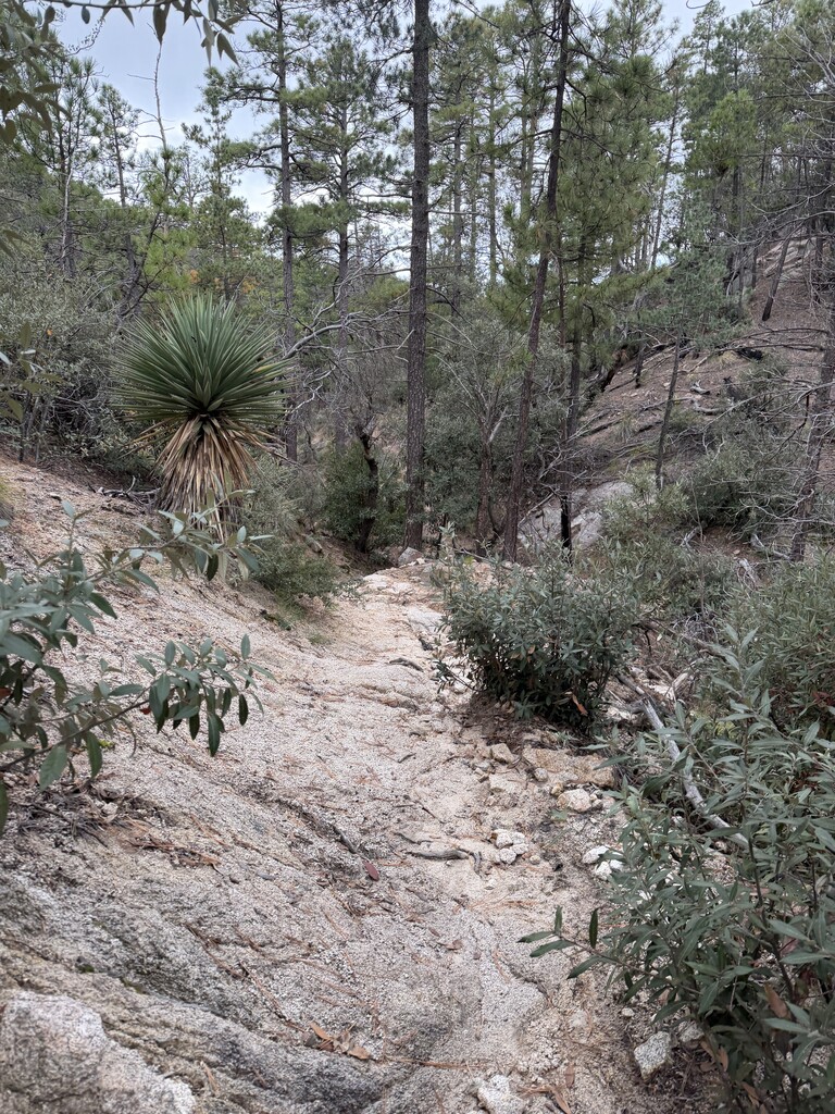
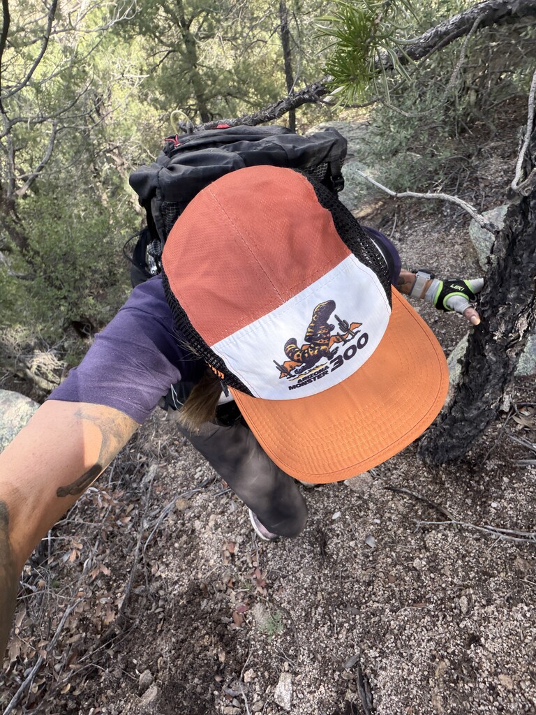


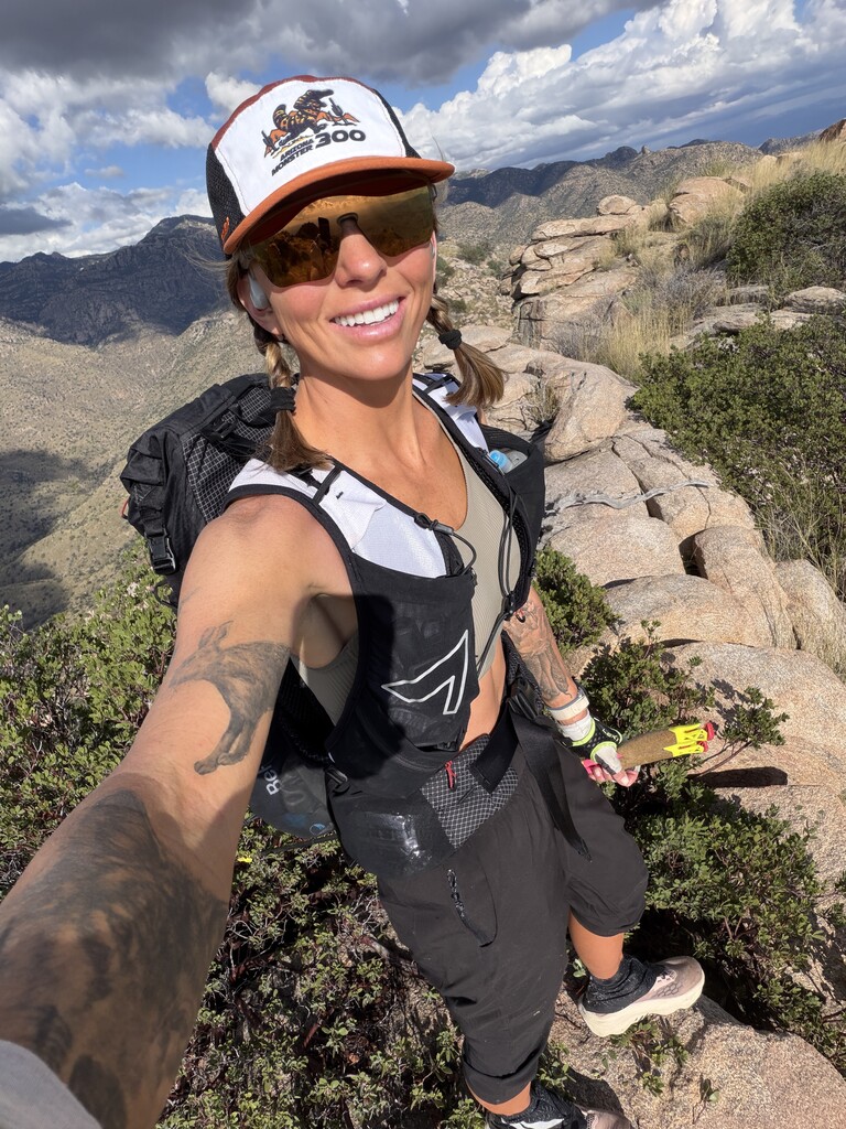
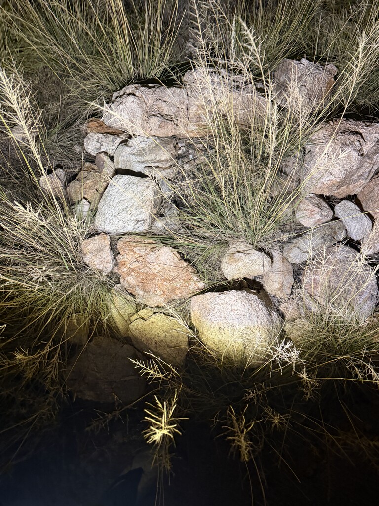
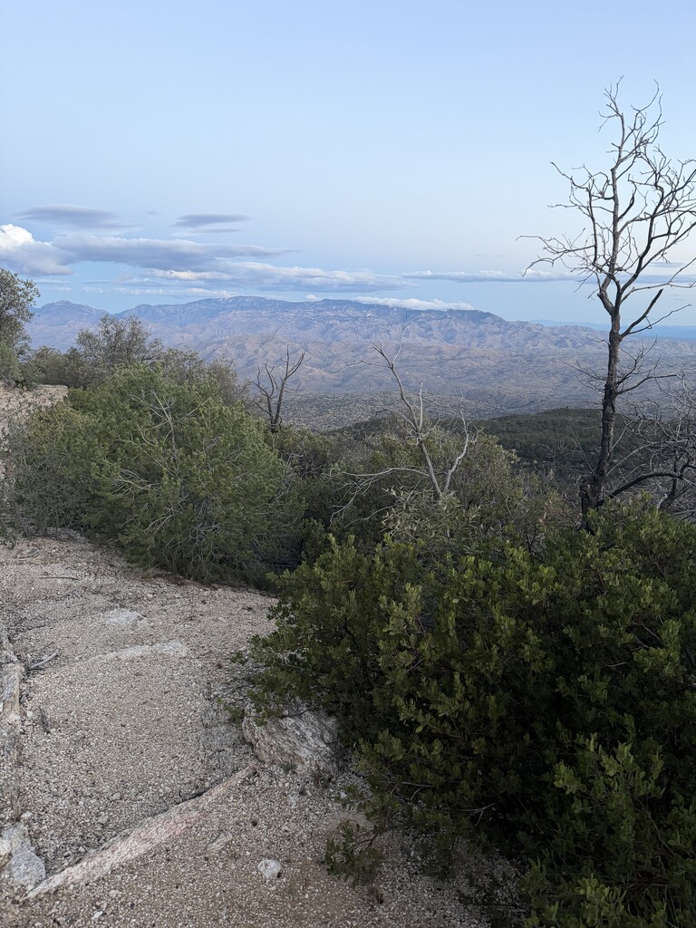



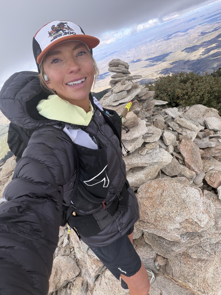
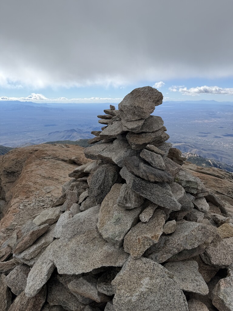
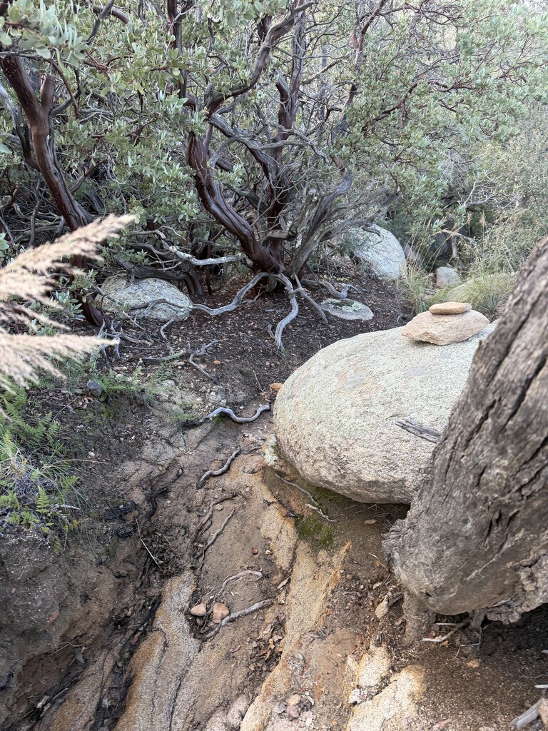
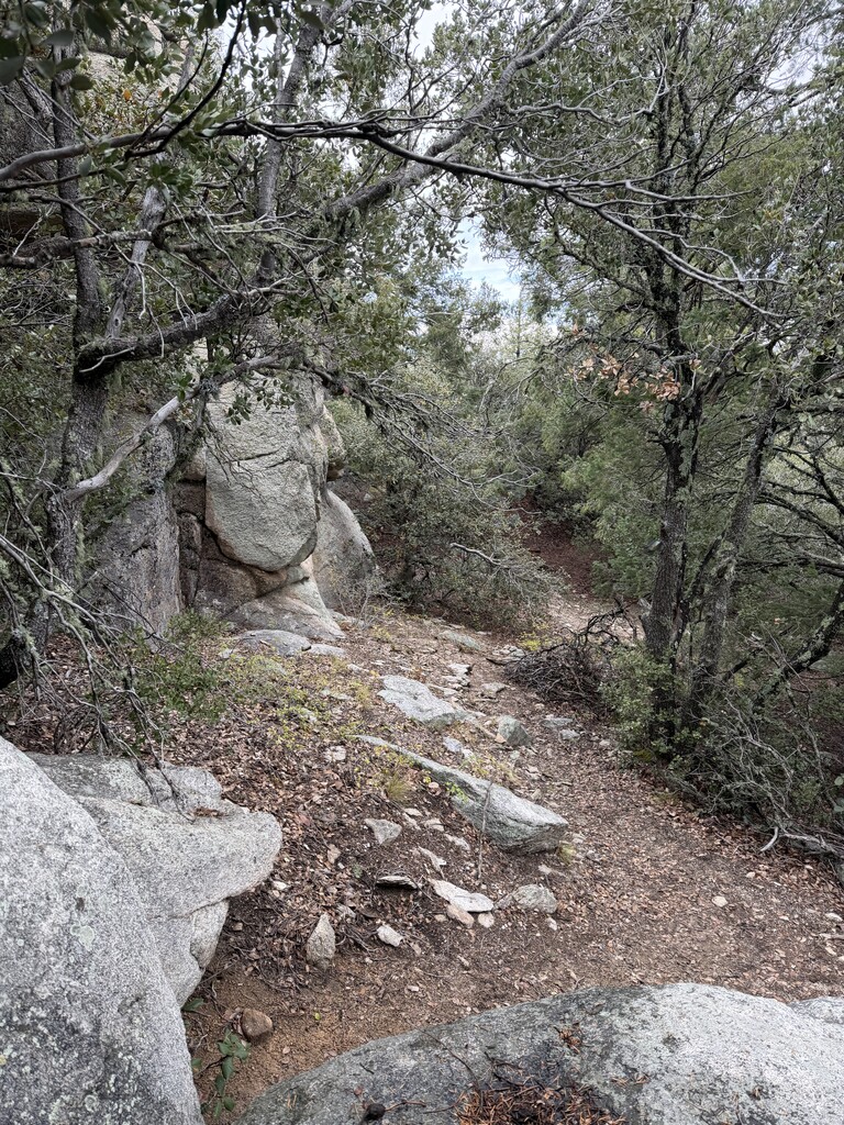
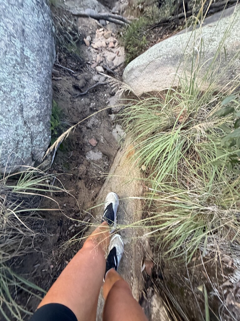
I stood at the edge of a large rock, staring at the drop-off in front of me. According to the GPS track on my phone, this was the way to the top of Airmen Peak.
Except there was no way forward.
I zoomed in on the track, trying to make sense of it. That’s when I realized what had happened. The line I’d been following went up to this exact spot, then doubled back down the mountain and around to the other side.
Shit. I’d downloaded the track directly from the Fastest Known Time website and hadn’t realized it might lead me somewhere I didn’t actually want to go.
A sinking feeling came over me. I’d just fought my way uphill through thick Sonoran Desert brush, and now it looked like I would have to descend through all of it, only to climb back up a different way. I could see the terrain I needed to reach just beyond the rocky ledge. It wasn’t exactly welcoming, but it was considerably less vertical than the cliff in front of me.
I briefly considered lowering myself off the edge. But the drop was just high enough that I couldn’t simply step down. I’d have to jump. Not a great idea when you’re alone in the backcountry. Instead of turning around, I followed a feeling.
There was a narrow slot in the rocks above me. I couldn’t see where it went, but something told me it might be possible to scramble through. This wasn’t the first time I’d followed a feeling like that. I’ve spent enough time exploring the backcountry that I’ve developed what feels like a sixth sense for terrain. Sometimes it’s almost as though a part of me can see or sense a route before I actually encounter it. I don’t know if it’s simply a finely tuned instinct developed over years of navigating mountains, or if there’s something more mysterious going on. Whatever it is, I’ve learned to pay attention.
The only way to investigate the slot was to push through a wall of prickly desert bushes. When the brush is that thick, you just have to go for it. I spread the branches away from my face and shoved my body through. It was dense enough that anyone watching would have seen me disappear completely. I emerged on the other side with sticks in my hair and prickles in my skin, but otherwise not much worse off. Now I could see the rock wall and the slot above me. I started climbing.
A large boulder was wedged into the narrowest part of the slot, leaving a small triangular opening underneath. I had two choices: squeeze through that gap with my 15–20-pound UltrAspire pack, or turn around and make the long descent. Naturally, I thought of Aron Ralston. He’d gotten his arm trapped beneath a boulder in an Utah canyon and had to amputate it himself to survive. Not exactly the story you want coming to mind when you’re considering crawling underneath a giant rock in the middle of nowhere.
I pressed against the boulder. It seemed solid. I squeezed through. Beyond it, the slot became a chimney. I had to climb Spider-Man style, pressing my arms and legs against the rock walls on either side to work my way upward.
Then came another boulder, protruding into the slot. To get over it, I’d have to maneuver my body around the outside and pull myself up and over, with the open slot beneath me. I stopped for a moment and considered my options. It wasn’t about to get any easier. I carefully worked my way around the rock, concentrating on each movement, and hauled myself onto the ledge above.
More dense brush waited at the top. I pushed through it, trying not to get too excited. It looked like I might actually make it. My breathing was heavy, but not from the exertion. It was adrenaline. I was intensely aware of every movement I’d just made and how little room there had been for error.
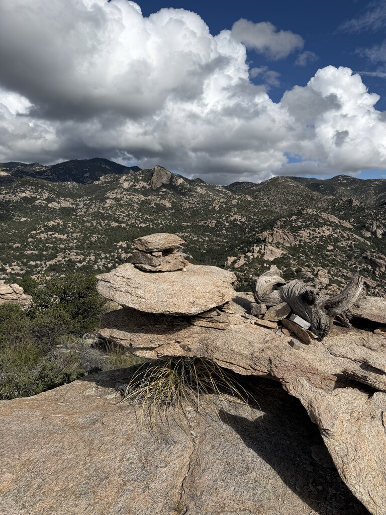
As I emerged crawling, clawing my way upward through the final brush above the slot, I finally let myself feel the emotions. I was nearly at the top, and the plateau of the peak spread out ahead of me. I followed the GPS track to the highest point, marked by a pile of rocks. Relief, I made it. The way down would be much more chill. I could follow the steep slope east of the rock I’d just climbed, descending toward the creek below.
I’d now tagged two of the seven peaks on the Eastern Skyline Traverse, but I still had several miles of rough terrain to descend, followed by a long section through a riverbed before I could pick up a trail again. I took a brief moment to enjoy the feeling of being at the top and began my descent. Airmen Peak. I was definitely not flying. But I had made it through a significant portion of the off trail section that I had not scouted previously. A win.
Gibbon Mountain, peak 3 of 7
After Airmen, I finally had a much-needed trail to follow down through the Catalinas toward Gibbon Mountain. Along the way, I’d cross Mount Lemmon Highway near the parking area where I’d stashed my first resupply, roughly 15 miles into the route. My drop was a bear canister stuffed with extra food, socks, shoes, Gatorade, Coke, and a few pieces of gear. Mostly, I needed calories to replace everything I’d consumed so far.
After resupplying, I continued west toward Gibbon Mountain. I wasn’t sure what to expect. I hadn’t had time to scout this peak before starting the FKT, but from reading reports by previous FKT runners, it sounded relatively straightforward for an off-trail segment. And it was. In a crazy twist, I ran into two hunters on my way up the mountain. One of them turned out to be Brian Janezic, the man who had originally submitted the Eastern Skyline Traverse route to Fastest Known Time.
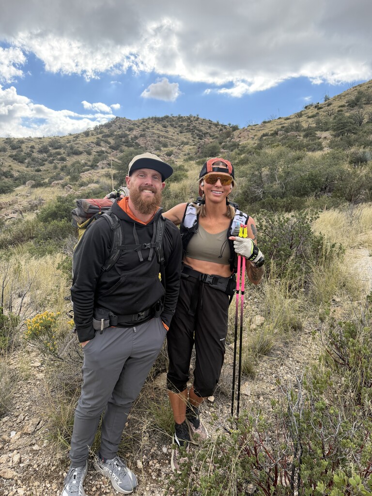
Running into theTucson Eastern Skyline Traverse creator Brian Janevic while running the route. Neither of us knew each other, but we figured out the connection in the few minutes we chatted on my way up Gibbon. Of all the people to run into on an obscure, off-trail mountain! We chatted for a few minutes, figured out the connection, snapped a quick photo, and I continued on my way. I knew I’d just burned about 15 minutes talking, so I promised myself I’d stay focused and get up and down Gibbon before sunset. Darkness was coming quickly, and I was pretty sure I wouldn’t make it very far toward the next peak, Agua Caliente, before nightfall.
Agua Caliente Mountain, Peak 4 of 7
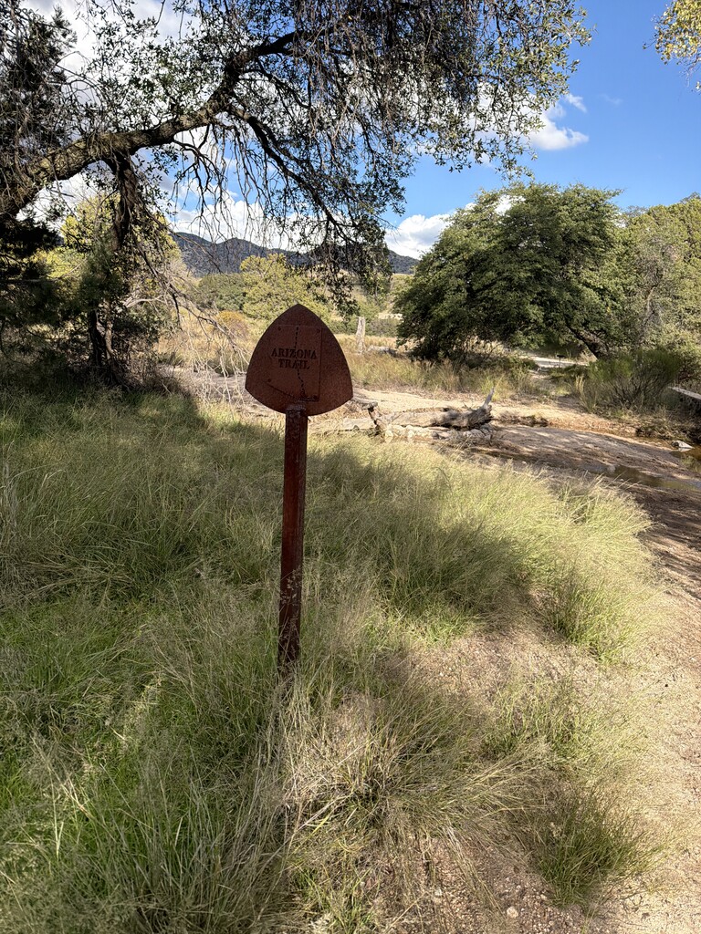
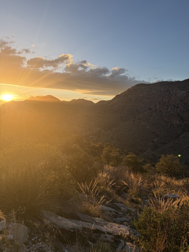
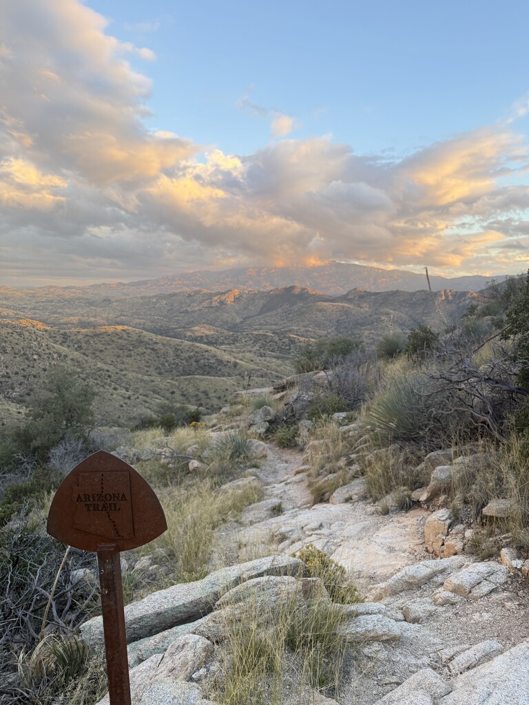
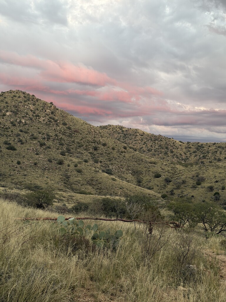
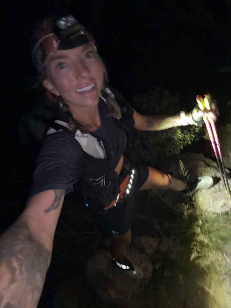
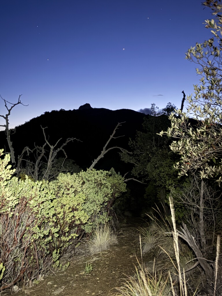
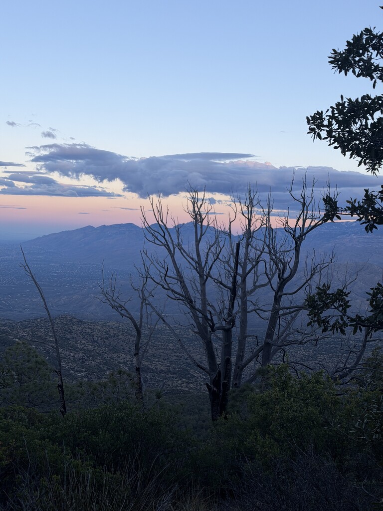
Sunset caught me as I climbed toward the Arizona Trail saddle east of Mount Lemmon Highway. Beautiful blues, purples, oranges, and yellows filled the sky, and I began mentally preparing myself for more than 12 hours of navigating in the dark. I’d brought a Kogalla waist light and a headlamp, but only two batteries for the waist light and no spare battery for my headlamp until my next resupply, around mile 35.
I soon discovered that my waist light batteries would only power the light on HIGH. I couldn’t turn it down to conserve battery on the climbs or easier sections. I also had no idea how long each battery would last. I started relying on my headlamp whenever possible, kicking myself for not figuring all this out before setting off on a 30-plus-hour adventure through the mountains. Too late now, I guess.
The approach to Agua Caliente felt long, but I was having a lot of fun plugging away. Run the flats and downhills, hike hard on the climbs. Repeat. My plan was to make up some of the time I’d lost navigating through the dense off-trail terrain on Airmen and Gibbon. And I did, just not as much as I’d hoped. By the time I summited Agua Caliente, I was still on pace for a finish somewhere around 30 hours. I’d really been hoping to break 30. The final three peaks were all on trails rather than off-trail bushwhacks, so I figured I could make up more time there.
I was wrong. Dropping off Agua Caliente, I gulped. I was about to enter a long off-trail section I hadn’t scouted. I knew it would be especially difficult at night, when I couldn’t see more than 20 feet in front of me. I put my poles in my pack so I could hold my phone in one hand and keep an eye on the little triangular dot showing my location.
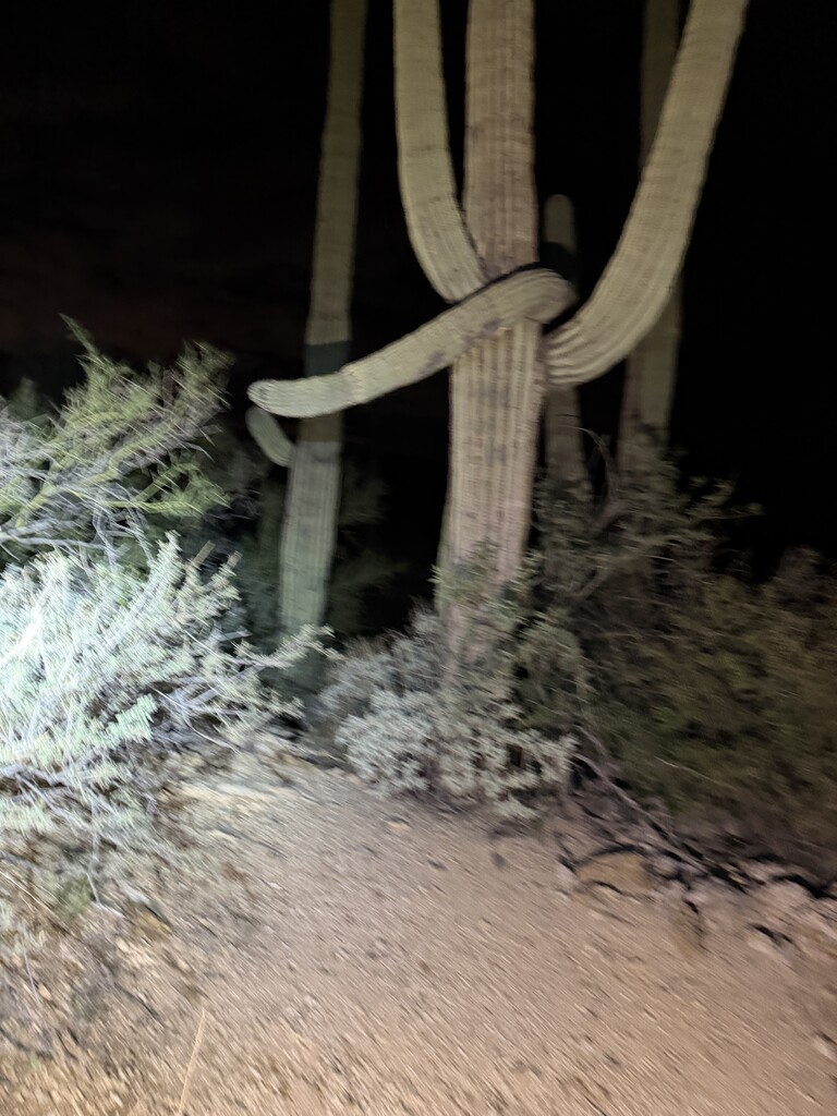
The challenge wasn’t knowing which direction I needed to go. It was finding a way through the thousands of tiny obstacles between me and where I wanted to be. Every step was another cactus, thorny bush, rock, or wall of vegetation forced me to change direction, all on a steep slope descending precipitously into the blackness of night. It was easy to get pushed sideways without realizing how far I’d drifted off course.
I was constantly checking the little triangle to make sure I was still heading in the right general direction. The last thing I wanted was another Airmen Peak situation, getting cliffed out somewhere I couldn’t see until I was right on top of it.
After Gibbon, I’d taken off my pants so I could climb in shorts during the heat of the day. Now the desert was shredding my exposed legs like a cat toy. But I didn’t want to stop, take off my shoes, and put my pants back on. So I accepted the damage and continued, learning which plants to avoid whenever possible.
After what felt like an entire night but was only a couple of hours, I finally reached a 4x4 road. It was overgrown with desert grass and plants, but at least it was easier to follow than the terrain I’d just come through. I’d decided to take this old road to Reddington Road rather than continue on the shorter but much more difficult off-trail route. The “road” added about a mile, but it was one of the few sections I’d managed to scout before the FKT. I knew it would be much faster than fighting my way through another mile of desert vegetation in the dark. Sometimes the longer way is the faster way.
I was within about half a mile of Reddington Road when I noticed a pair of glowing eyes to my right. The eyes stared back at me, confidently. A mountain lion. It was only about 30–40 feet away. I felt my heart rate begin to climb, but reminded myself that I was close to the dirt road. I slowly walked past the lion. I knew not to run, even though I was in the process of trying to set a fast time and I was finally on a road I could run on. The lion didn’t run away. It held its ground, simply turning its head so that one second I could see its glowing eyes and the next they would disappear. In the strong beam of my headlamp, I could make out its catlike body, broad shoulders, fur, and powerful legs.
I kept looking over my shoulder, checking to make sure it wasn’t following me. Then I turned on music from my phone, letting it blare into the darkness in the hope that the noise might deter it. I continued down the road, still glancing behind me. Thankfully, that was the only mountain lion I saw.
Tanque Verde Mountain, Peak 5 of 7
I reached my second and final resupply drop at mile 35. I switched out my headlamp for one I’d packed that took AAA batteries, which I could replace as needed rather than worrying about recharging. I grabbed more food than I thought I’d need, wishing I’d left myself some drinks at this location.
By this point, it was becoming increasingly difficult to chew solid food. I simply didn’t have enough saliva. I tried several times, nearly choking and puking. Even adding water to my mouth didn’t help much, and the process of chewing was painfully slow. Instead, I started eating small pieces of candy. One piece at a time. I knew it wasn’t ideal and that I wasn’t getting nearly enough calories, but it was about all I could manage.
I was now entering a very long section from Tanque Verde Falls through rolling terrain that would have been quite fun had I been feeling a little more energetic. Despite being tired, I kept pushing myself to run every section I could. With my heavier pack, the miles still ticked by slowly, and I wasn’t making up much time. My watch was still predicting a 30–31 hour finish.
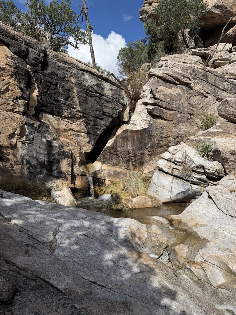
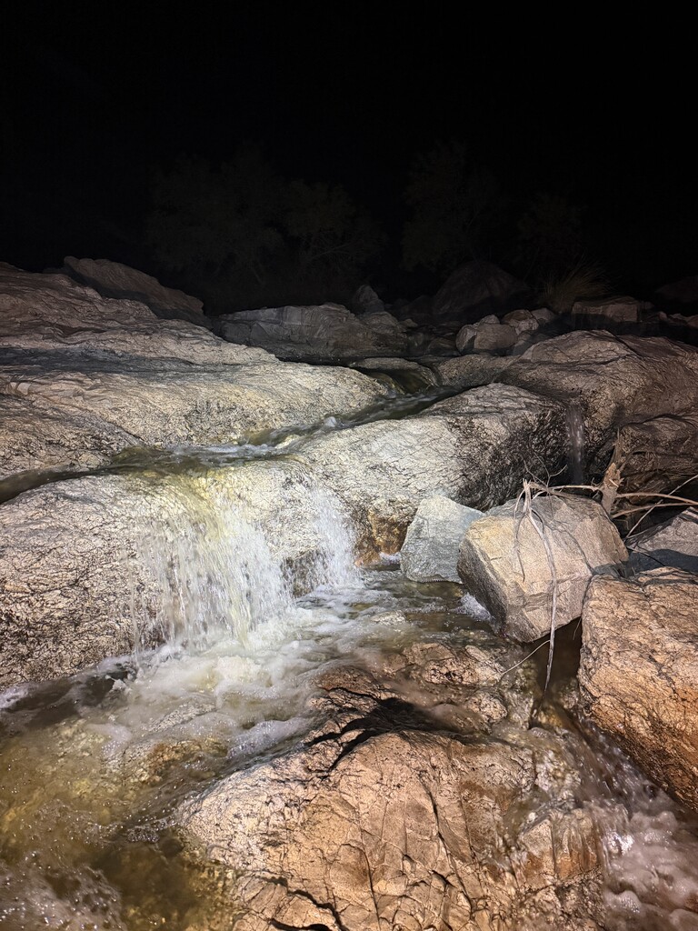
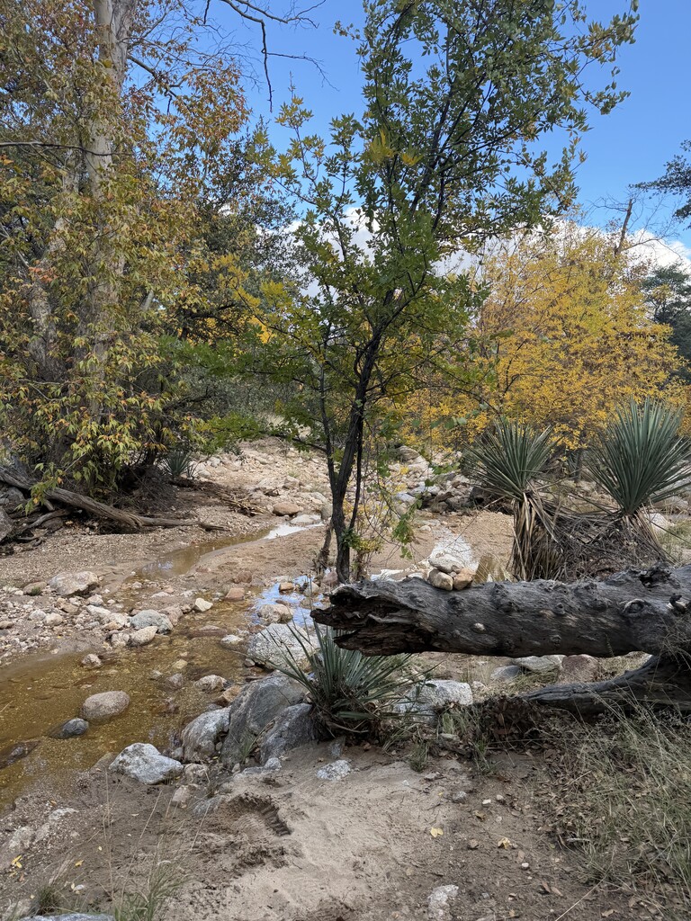
The beginning of this section turned into another bushwhack. It was a bit easier to navigate than the steep descent from Agua Caliente, but I still lost what I’d hoped would be some faster miles. Tanque Verde Falls was flowing hard and deep. I eventually found a place to cross, but had to stay well upstream to avoid swimming. Back on the trails through the rolling hills before the climb up Tanque Verde Peak, I saw several animals, including a family of foxes and some deer. The trail was overgrown with thick grass and difficult to follow in places.
Around 3 a.m., my mom texted to see how I was doing. I remarked that she sure was up early! “Just checking on my daughter,” she replied. Whenever I do one of these big efforts, my mom watches my GPS track carefully. She would surely be the first person to call for help if something happened.
I can’t remember if it was 10 or 15 miles, but it certainly felt like 15 before I finally began climbing toward Cowhead Saddle, the pass between Mica Mountain and Tanque Verde Peak. I kept trying to eat, but it was a no-go with the camp meals. Cold soaking just wasn’t working with my inability to chew, and the Pad Thai tasted terrible. I popped another gummy candy. Ugh. At Cowhead Saddle, I turned right to climb the nearly three miles to Tanque Verde Peak. I’d done this peak quite a few times when I lived in Tucson, but it sure felt longer than I remembered.
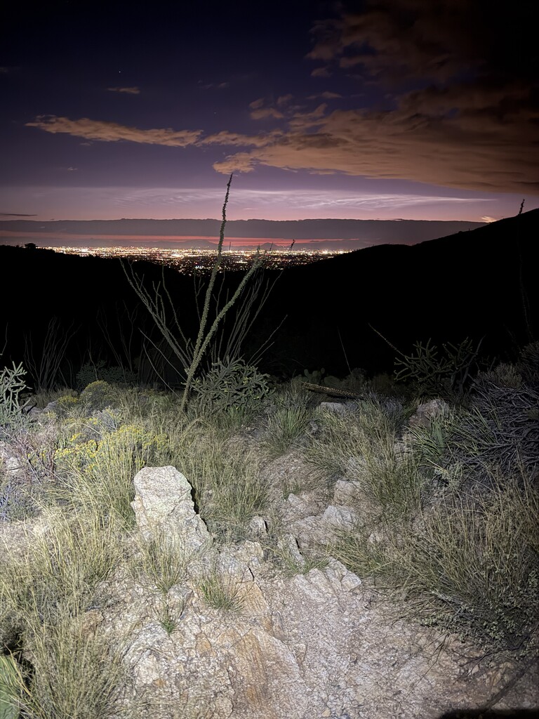
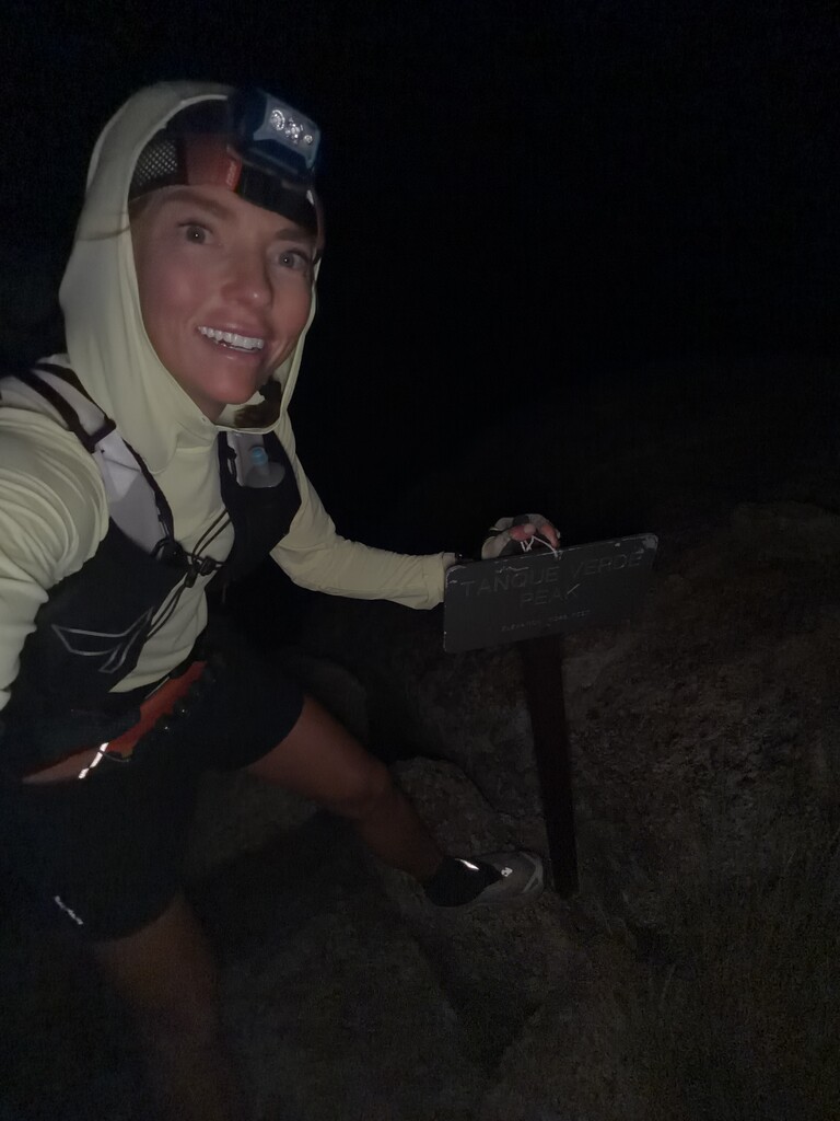
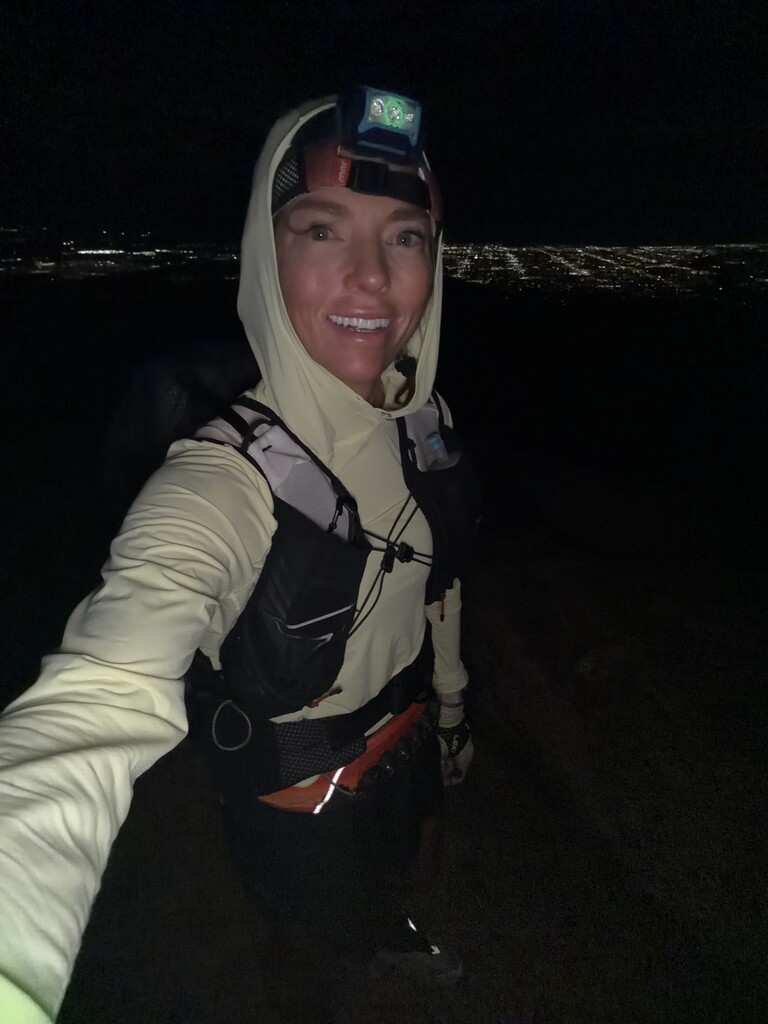
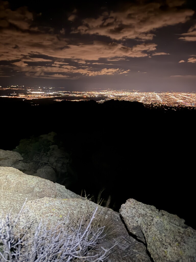
Nonetheless, the combination of city lights below, stars overhead, and a sliver of moon was so beautiful that I really enjoyed the climb. The final ascent is up a pile of large rocks. I took a few photos and hit the “check in” button on my Garmin inReach, as I’d been doing on the summit of each peak. Time to descend. Surprisingly, the descent felt quick. I watched the sky slowly lighten until I realized another day had arrived, just in time for the climb up Mica Mountain, my sixth peak.
Mica Mountain peak 6 of 7
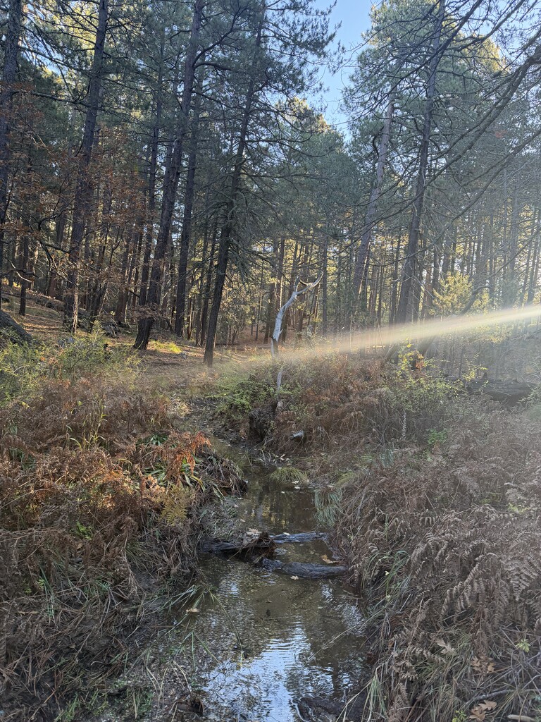
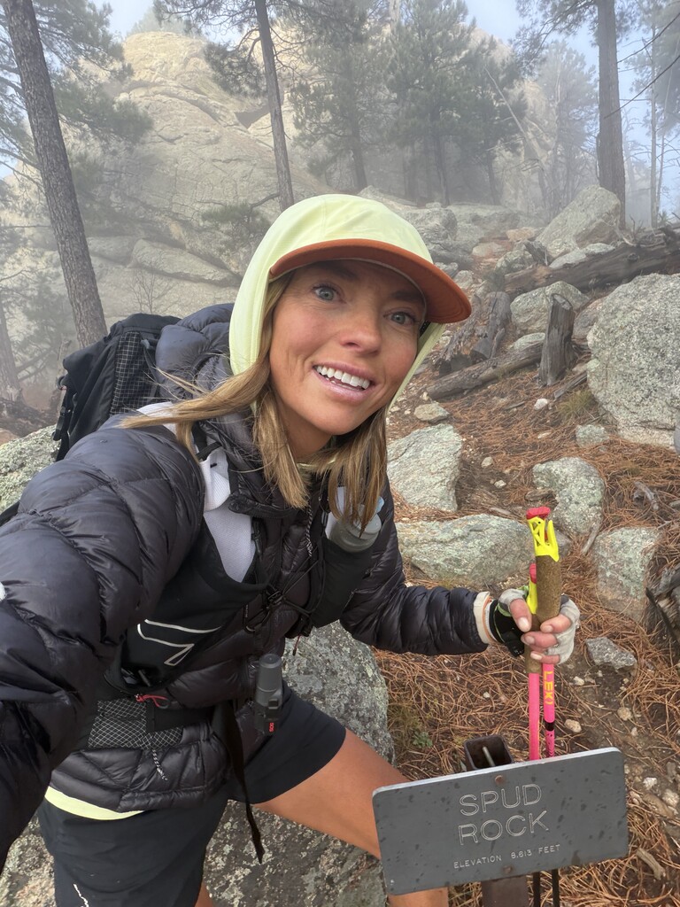
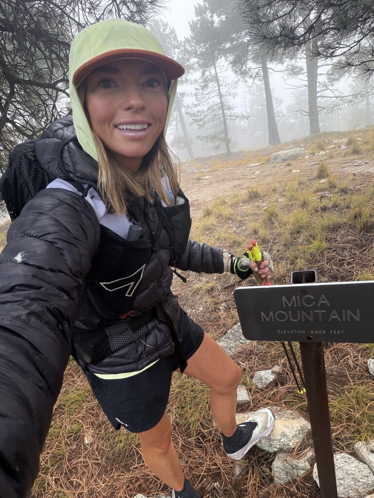
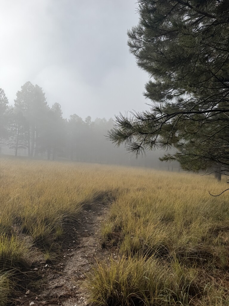
Another five-plus miles of climbing took me past huge rock formations with amusing names like Spud Rock. As I approached the summit, a strange mist began blowing over the mountain. At first, I couldn’t quite figure out what I was seeing. Was it rain? Clouds? It looked like something blowing across the landscape, almost like rain, but more of a fine mist. Then it engulfed me. There was something fascinating and a little spooky about the mist moving through the fall foliage, and I stopped to take photos.
The summit of Mica Mountain is actually quite rounded, more like the top of a hill than a dramatic mountain peak, despite being one of the tallest mountains above Tucson at 8,664 feet. I reached the summit and happily took a few more photos. Coming off Mica, I hoped the trail stretching another 10-plus miles toward Rincon Peak would be faster.
With daylight arriving, I’d sent Adam some messages about my timing. He was picking me up at the finish, and I needed to let him know that I was now expecting to finish in 31–32 hours. I was definitely a bit bummed. I’d hoped to get under 30 hours, but the other two women’s FKT times were both over 46 hours, and both had been supported efforts. I was well within a major improvement on those times, although my effort would be in the separate self-supported category rather than replacing a supported record.
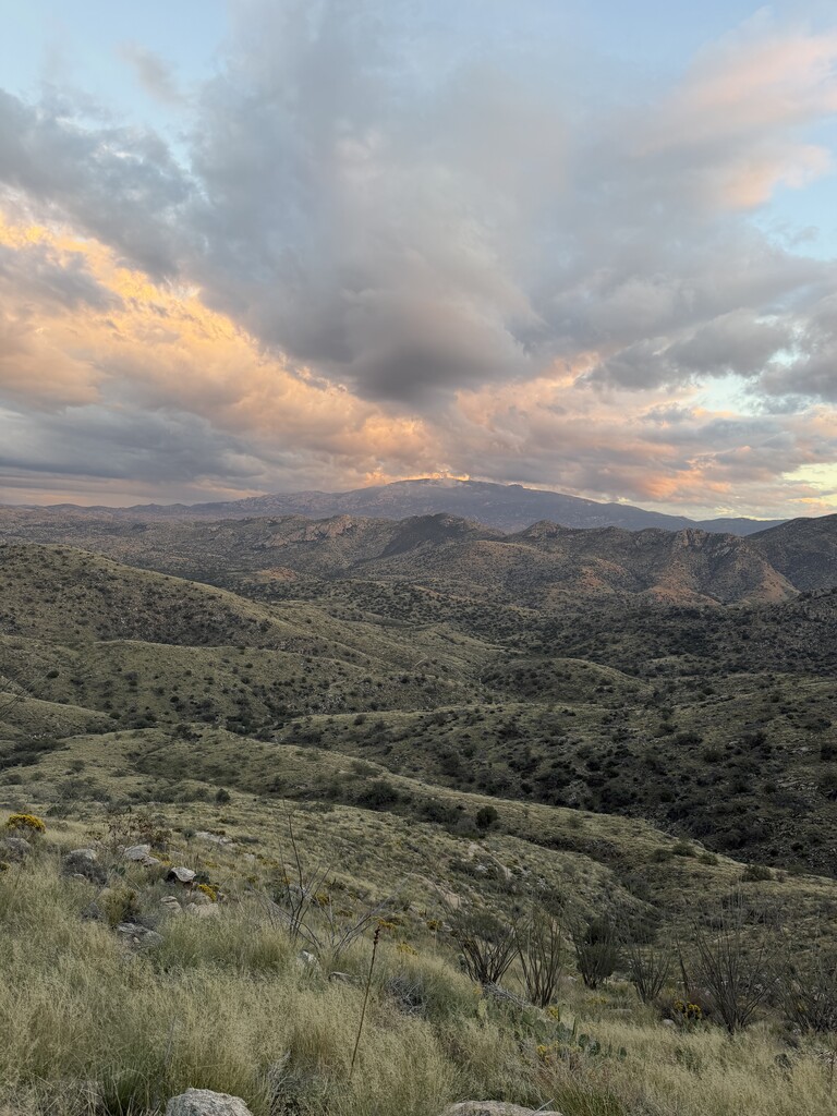
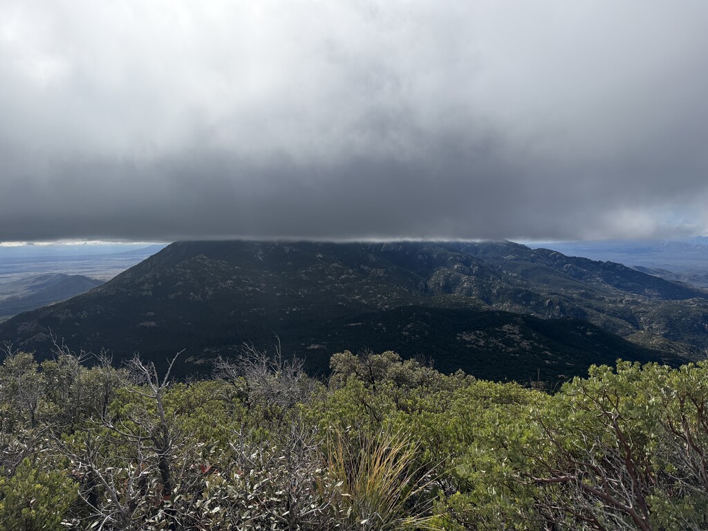
The mist continued blowing hard across the mountain, and I stopped to put my pants back on because my legs were freezing. As I descended, mile after mile, I finally emerged from the cold, misty clouds. Looking toward Rincon Peak, I saw one of the strangest cloud formations I’d ever witnessed. A wall of clouds sat halfway up the mountain, with a block of perfectly blue sky beneath it. Most surprisingly, the bottom of the cloud layer formed a perfectly straight line. Not puffy or uneven like normal clouds, but so precise it looked as though someone had taken a ruler and drawn a line across the sky.
Rincon Peak continued to look so far away, no matter how much closer I got to it. The trail toward the mountain offered relentless views of the steep, rocky peak that looked intimidating even from a distance.
On the climb up Mica Mountain, I’d finally begun to really feel the effort. Unsurprising, considering my lack of calories and the fact that I’d been moving for more than 24 hours. In fact, maybe the more remarkable thing was how good I’d felt all the way through Tanque Verde Peak, the fifth of seven summits. But now each mile seemed to stretch into two, and I knew I still had a difficult climb ahead of me. First, I had to drop several thousand feet from Mica Mountain to the saddle between the peaks, only to climb it all back again.
Rincon Mountain, Peak 7 of 7
About three miles from Rincon’s summit, I stashed a bag of gear since the climb was an out-and-back. I came to regret this decision. My watch died on the climb up Rincon Mountain, and if I’d kept that gear with me, I would’ve had a battery to charge it. Thankfully, I still had two other GPS tracks recording, but I was nervous. All that effort, and I could potentially lose the evidence needed to submit my FKT. I worried that I’d somehow accidentally stop recording on Gaia or my Garmin inReach. I kept checking their battery levels, becoming increasingly paranoid about losing one of my remaining tracks.
The final half mile climbs a brutally steep trail through thick forest. Just 15 minutes earlier, I’d been staring at the rocky, ominous summit looming ahead of me, wondering how I could possibly still not be climbing it. Well, here I was. Dead watch. Tired legs. Lungs working overtime. My steps were slower than I wanted, but I kept moving forward. The final bit of trail wraps around the east side of the peak, climbing over rocks until you finally emerge onto granite and see a huge rock cairn.
Thank God. Seven peaks. It was freezing at the summit, and I’d already put on my down jacket during the climb. A man coming down the trail, wearing only a long-sleeved shirt and shorts, remarked on how cold it was. I felt fine. I was at the top, after all!
I knew I needed to make good time on the descent if I wanted to keep my FKT time from creeping up too much. Adam had already headed to the trailhead to pick me up on a 2 hour drive, and I didn’t want him waiting too long. I knew he wouldn’t have reception there, so he’d be sitting without any way for us to communicate. I descended the first three miles stronger than expected. I was so close. After that steep, treacherous descent, I had only about four miles left to the Miller Creek trailhead. All downhill. How bad could that be?
Pretty fucking bad, as it turned out. I started those final miles in good spirits, ready to run every step to the finish. But I was quickly slapped in the face by a rocky, winding, rough route marked mostly by cairns rather than an actual trail. I had to keep pulling out my phone to navigate. My toes were getting absolutely abused inside my shoes as I jumped, slid, and pounded my way down the mountain. Those four miles drained whatever I had left. They sucked away the last bit of hope that I would ever finish. They took my trail soul.
When I finally saw Adam standing near a cow field at the parking area, I could barely believe it. I mumbled something about needing to stop all my watches and timers, fumbling with my devices and struggling to figure out how to turn off my inReach. After 75 miles, seven mountain summits, and more than 33 hours on my feet, I could barely manage the simple task of ending my recordings. I’d been seeing things in the shadows and was glad to be safely back as I told Adam about seeing things and feeling like I was losing it.
Finally, I sat down on the back of the car as Adam handed me the chocolate milk and Gatorade I’d requested. I drank, exhausted and mostly speechless. My brain wasn’t working well with the lack of calories. I couldn’t really express it at the time, but I was so grateful to have him there with me.
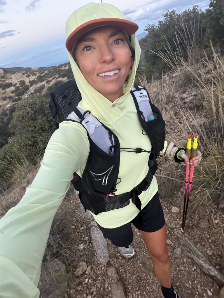
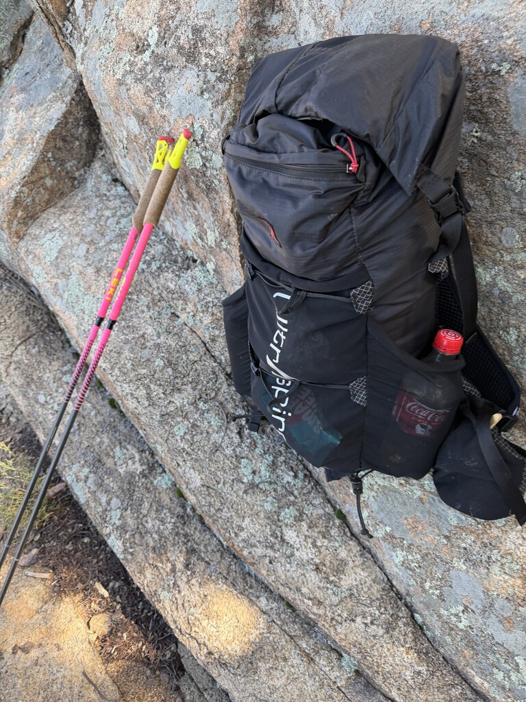
My final time was 33:20:10. The route was 75 miles with around 20,000ft of climbing, though the full recording on my Gaia app read 73 miles and 17k, just not as detailed of a track as my watch was recording. See my strava here. I ran it self supported with 2 drops and no outside help. I carried a 20L Ultraspire Epic pack. I started the route on Friday, November 6 and finished on Saturday Nov 7. I ran the route as a celebration for my birthday on November 8 as I like to do a big effort for my birthday each year as a tradition.
Here are the peaks in the FKT:
-
Green Mountain 7,904 ft
-
Airmen Peak 6,084 ft
-
Gibbon Mountain 5,807 ft
-
Agua Caliente Mountain 5,369 ft
-
Tanque Verde Peak 7,049 ft
-
Mica Mountain 8,664 ft
-
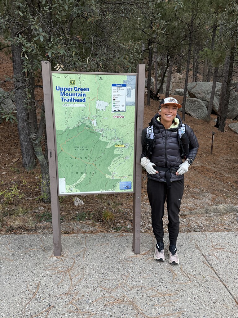
Rincon Peak 8,482 ft