

After a 3am wakeup and a 1.5 mile jog down the start of the route, we officially started our watches at 4:31am on Jan 18, 2026. Our friend and crew Todd was waiting for us when we got back up to the highway, after he generously drove 6 miles up the road and stashed water and calories for us. After quick goodbyes, we started questing up the steep paved road, pacing our climbing muscles for the task ahead. The first miles went by smoothly, no pigs or humans to be seen our heard. We stopped at our stashed goodies, the only aid we would receive for the route, and bid goodbye to the roads for a while.
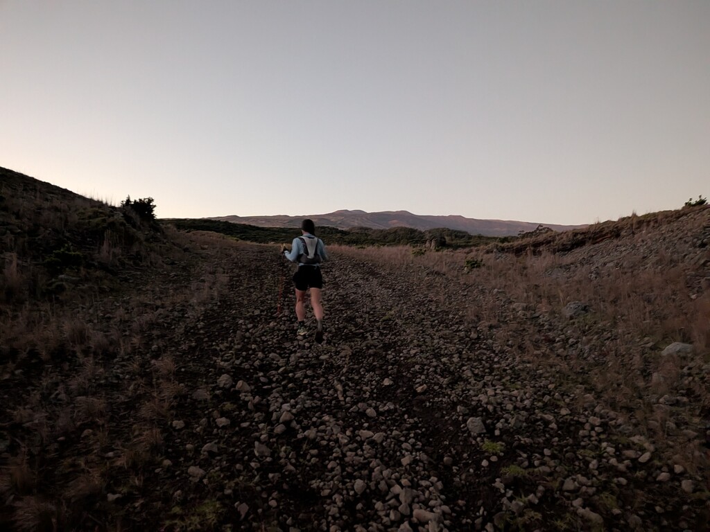
The route then makes a sharp left into a cow pasture, with some 4x4 tracks and cow paths to guide the way. Our gate-hopping technique quickly improved, as we crossed field after field, waiting for the soft glow of sunrise to show the way. Many, many cows, goats, and sheep watched us pass, sometimes standing off but mostly running at our voices and claps. After another 4 miles of mostly off-trail countryside crossing, we hopped our last fence before Mana Road.
We turned right and enjoyed the smooth dirt road under our feet for about half a mile, before veering off left again up a 4x4 road towards the sparse shrubland past 6000 ft. At this point, we didn't run very much of the rest of the route; it was loose, steep, but as we described it, "not offensive." The 4x4 track kept meandering further and further up the hill, beneath and around an old billboard, and past old ranch homes. At around 7700 ft, we veered off the right side of the established track and onto untrodden ground.
This was, by far, the weirdest portion of the effort. We climbed for a bit, before emerging onto a large blacktop with old tarps strewn about, Clearly, nobody had been there in a very long time, and we followed the GPX line as closely as possible. We climbed a small hill on the other side, and found an abandoned cabin, but with fresher-looking Lysol spray on the counter. From the cabin, we kept climbing, and hopped a fence into a thick evergreen forest. Going slowed down dramatically, and honestly, we just got a really earie feeling from it. So we ducked out to the left of the forest and back out into the open, and traversed back across the hillside where we picked up another feint 4x4 track.
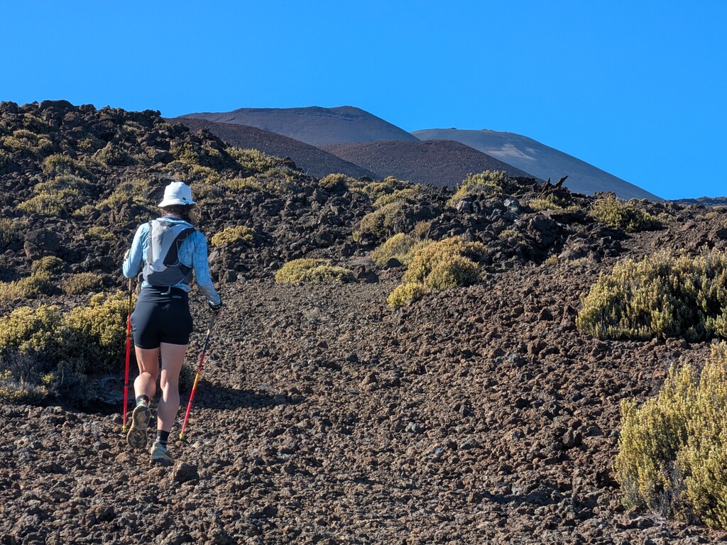
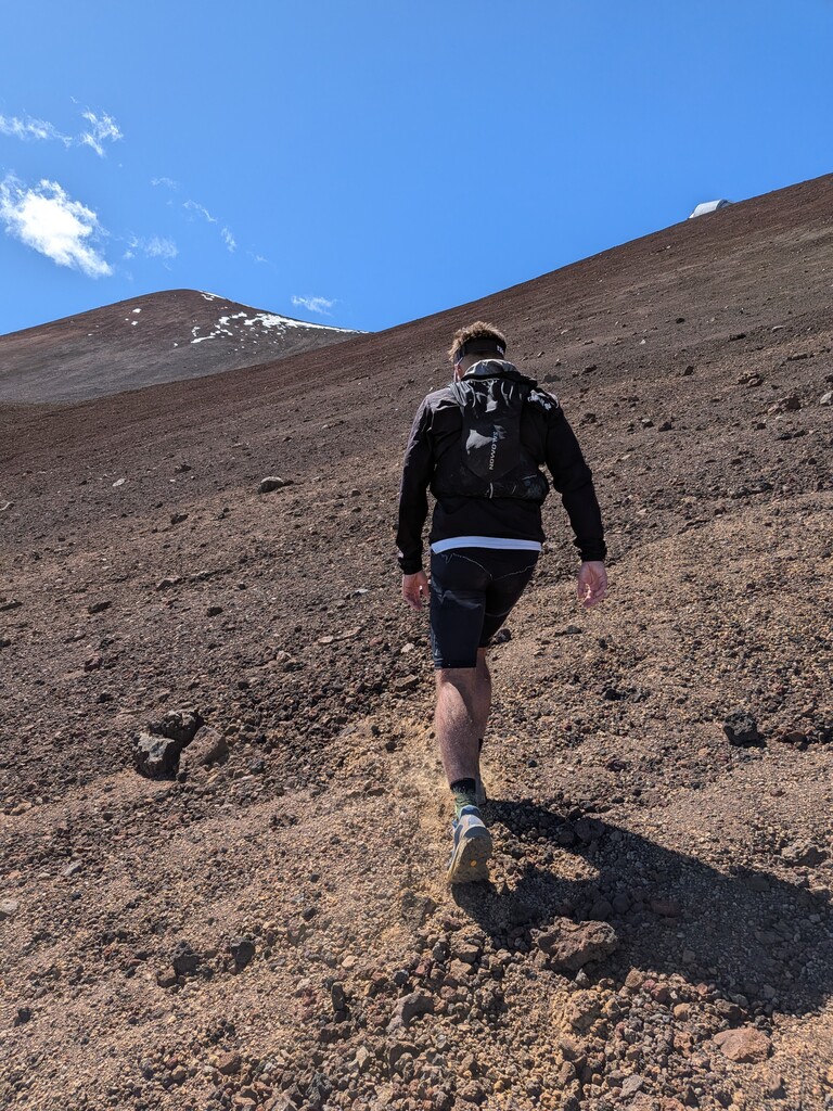
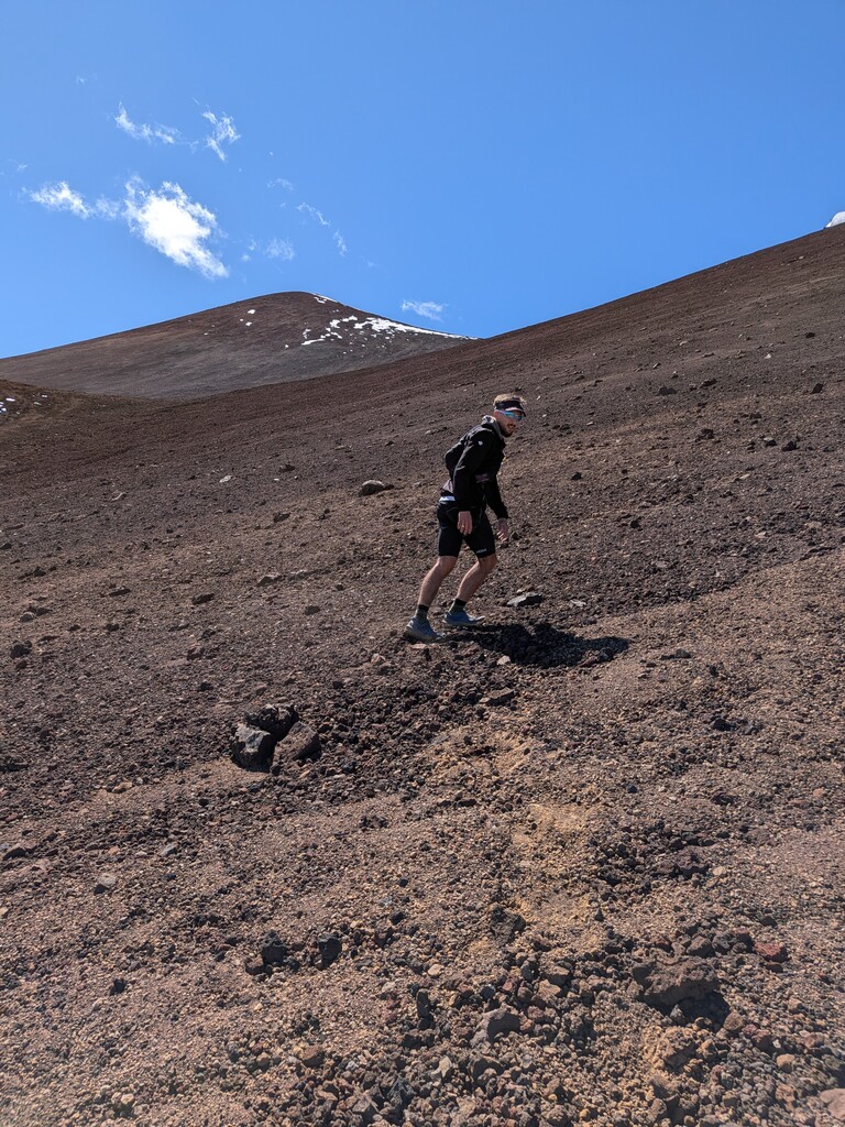
We followed this up further, and at around 8600 ft, said goodbye to the trees for the rest of the day. The next couple thousand feet were a mix of old 4x4 trails and off-trail navigating, where we had to be careful to keep our eyes on the GPS so we didn't miss where our route left the trail. The vegetation slowly dwindled even more, and huge lava cones rose out of the cinders to mark our path. Not much running was to be had anymore, because we eventually made our way up towards 11,000 feet and left the trail entirely.
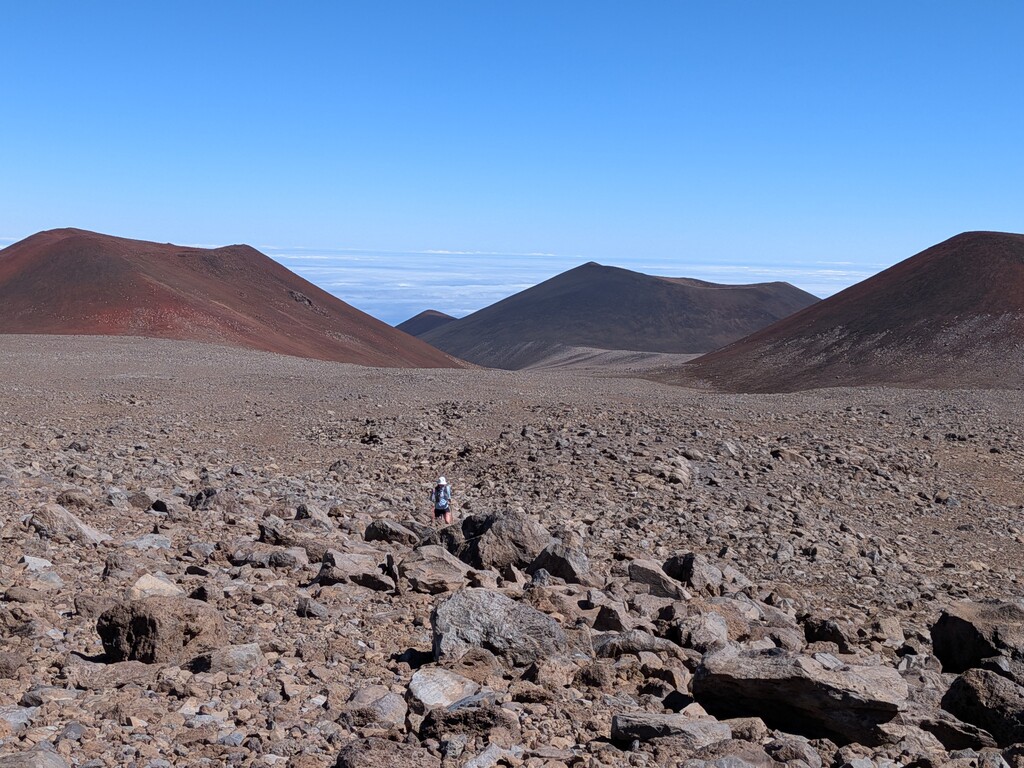
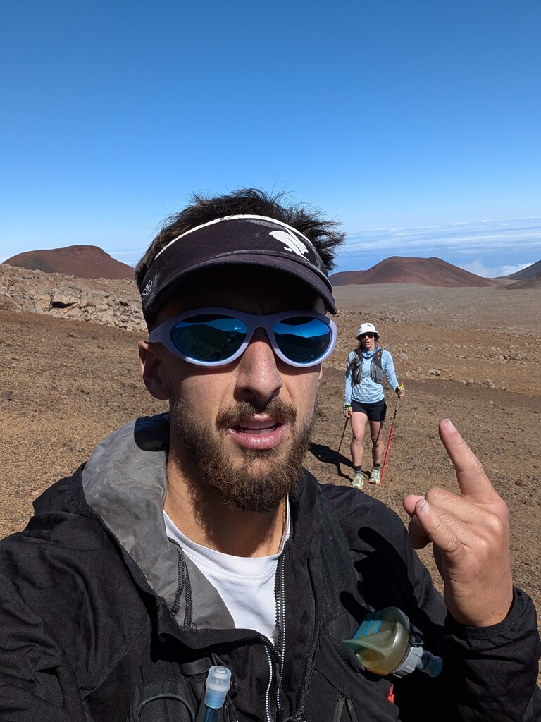
The next couple thousand feet were the slowest going. We followed the GPS track as a general guideline, but took more direct and faster lines where we felt they were appropriate. We slowly moved through the huge mounds of lava rock around us, over boulder fields and through the valleys they created. We deeply felt the lack of oxygen, and had to stop occasionally to let our veins stop throbbing. Eventually, we made our way through two large red lava cones and saw the summit with its telescopes, and were shocked at their scale.
The last approach took far longer than we'd thought it would. The GPX route wasn't really used anymore, because we could see exactly what was in front of us. After marching towards the towers, stopping every 50-100 vertical feet to catch our breath, we ended up going much further right than the original GPX had us going. We wanted to get as high up as possible in the boulder field before questing out into the scree, which was a very good idea. That last 600 feet of up was spin-in-place sort of scree, the take five steps and stop for 30 seconds exhausting terrain. Eventually, though, we made it up to the saddle, and tagged the summit (learning later we were not supposed to do that).
We got a chance to really enjoy it up there, to take in the view of Mauna Loa and see our whole route behind us. I can't think of a longer single-push climb in the world, and you get to see the coast where you started basically the entire way. This is a really special mountain, and that was one of the coolest adventures I've ever done. We had to run a mile down the road to catch our ride, but we didn't mind very much, we hadn't done any downhill the whole day.